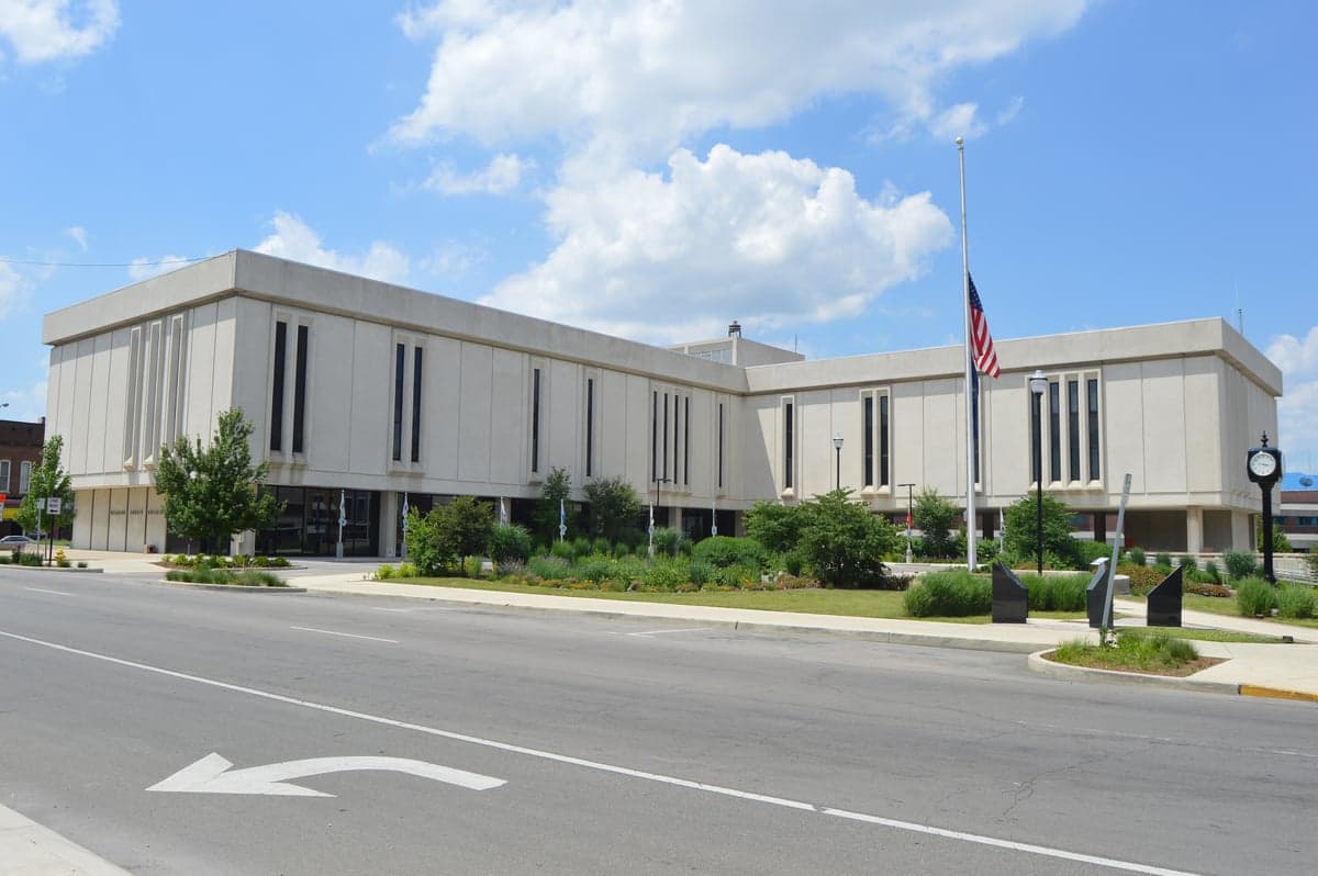
Photo: Wikipedia
Strategic Assessment of Delaware County
Meaningful friction. Expect exposure to either population pressure, blast zones, or natural disaster risk. Consider buying a retreat property.
What does the Strategic Assessment tell us?
Our Strategic Assessment grades tactical survivability of an area. Major population centers, military targets, fallout zones, natural disasters, and border exposure all drive risk — lower exposure means a more defensible position in a crisis.
This is heavily inspired by Joel Skousen's Strategic Relocation book. Highly recommended you checkout the book ($)What does this tell us?
Our Strategic Assessment grades tactical survivability of an area. Major population centers, military targets, fallout zones, natural disasters, and border exposure all drive risk — lower exposure means a more defensible position in a crisis.
This is heavily inspired by Joel Skousen's Strategic Relocation book. Highly recommended you checkout the book ($)Strategic Pillars

Key Distances
Strategic Assessment Analysis
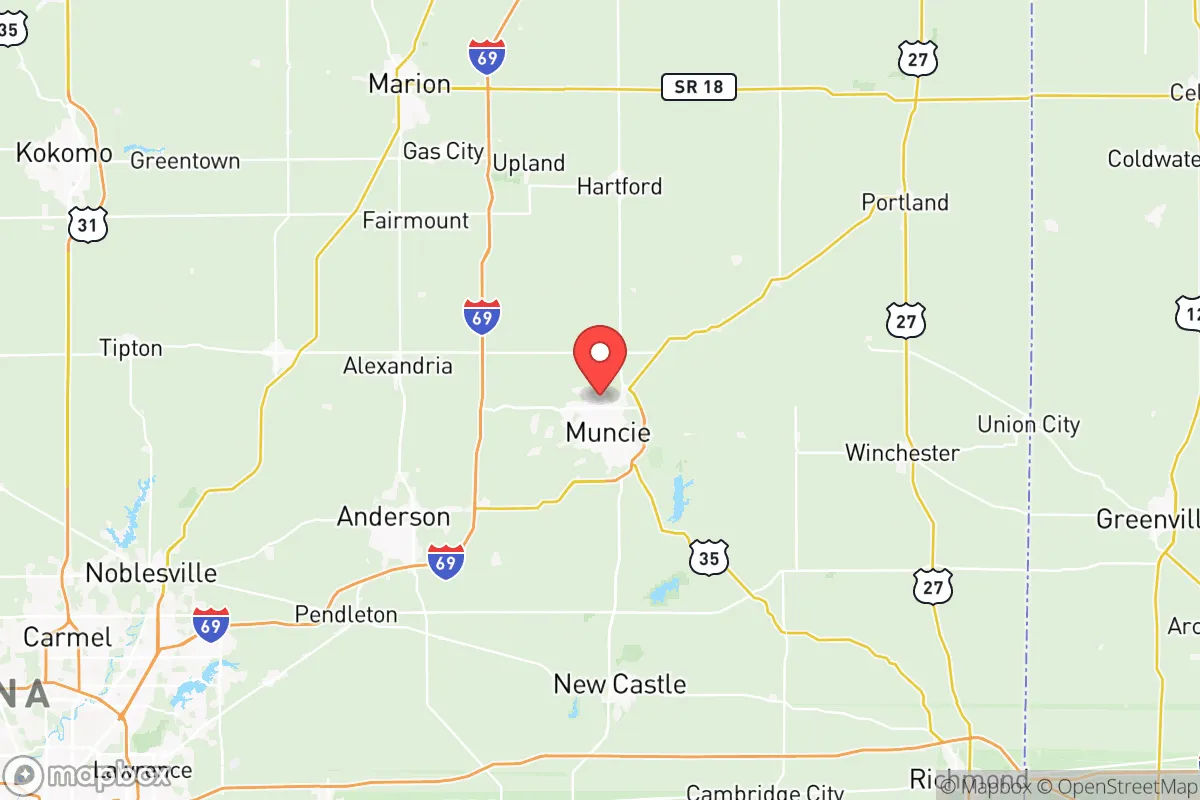
Delaware County, Indiana, anchored by Muncie, offers a strategic relocation option for those prioritizing resilience and self-sufficiency without complete isolation. Its position in east-central Indiana places it roughly 60 miles northeast of Indianapolis and 90 miles southwest of Fort Wayne, providing a buffer from major metropolitan fallout zones while retaining access to regional supply chains and medical infrastructure. The county’s population of roughly 115,000, with Muncie at about 65,000, gives it a small-city feel with enough density to support essential services, yet the surrounding rural landscape offers ample space for homesteading and defensible property setups.
Geographic position and natural advantages for self-reliance
Delaware County sits on the till plains of the White River watershed, a region characterized by relatively flat to gently rolling terrain that is well-suited for agriculture and groundwater access. The White River itself flows through the county, with the Muncie Reservoir and Prairie Creek Reservoir providing substantial surface water resources—critical for long-term water security in a grid-down scenario. The area’s natural advantages include moderate climate with four distinct seasons, reducing the risk of extreme weather events like hurricanes, wildfires, or earthquakes that plague other parts of the country. The county’s soils are among the most productive in the state, historically supporting corn, soybean, and wheat operations, which translates to strong local food production capacity. For a relocator, this means the land can sustain gardens, orchards, and small livestock without heavy inputs, and the flat terrain makes solar panel placement straightforward. The absence of major mountain ranges or large bodies of water also means fewer natural barriers to travel, but this is offset by the county’s position away from interstate corridors like I-69 and I-70, which reduces through-traffic and potential refugee flow during a crisis.
Risks, exposures, and proximity to fallout-relevant landmarks
While Delaware County avoids the highest-risk zones, it is not without exposure. The most significant man-made risk comes from the Marion Power Plant, a coal-fired facility located about 15 miles southeast of Muncie in neighboring Grant County. Though not nuclear, its coal ash ponds and chemical storage represent a localized hazard in the event of a catastrophic failure or targeted attack. More critically, the county lies within the broader shadow of the Indianapolis metropolitan area, which includes the Citizens Energy Group’s natural gas storage fields and the BP Whiting Refinery in northwest Indiana—the largest refinery in the Midwest. While these are 90–150 miles away, prevailing westerly winds could carry fallout from a major industrial incident or nuclear strike on Indianapolis toward Delaware County. The county itself hosts Ball State University in Muncie, a large educational institution that could become a secondary target or a focal point for population movement during a crisis. Additionally, the Muncie-Delaware County Airport is a general aviation facility that could see military or emergency use, potentially drawing unwanted attention. Natural risks are low but include occasional tornadoes (the county is in the southern edge of Tornado Alley) and flooding along the White River, particularly in low-lying areas near Muncie’s downtown and the Yorktown community. The Indiana National Guard’s Camp Atterbury is about 100 miles south, which is far enough to avoid direct impact but close enough to be a staging area for regional response.
Practical resilience for a relocator: food, water, energy, and defensibility
For someone serious about disaster readiness, Delaware County offers a strong baseline. Food security is bolstered by the county’s agricultural base—there are over 1,000 farms in the county, with many selling directly at the Muncie Farmers Market and through local CSAs. The Delaware County Soil and Water Conservation District actively supports small-scale farming and permaculture practices. Water access is excellent: the Prairie Creek Reservoir (1,300 acres) and Muncie Reservoir (1,100 acres) provide reliable surface water, and the county’s groundwater is generally high-quality and shallow, making well drilling affordable—typical depths of 50–100 feet yield 10–20 gallons per minute. Energy resilience is mixed: the grid is served by Indiana Michigan Power, which relies on coal and natural gas, but the county has growing interest in solar, with several community solar projects and no restrictive HOA covenants in unincorporated areas. The flat terrain and open skies make off-grid solar viable year-round, though winter cloud cover can reduce output. Defensibility is the county’s weakest point: the terrain offers no natural chokepoints like mountains or rivers that can be easily secured. However, the rural townships—Mount Pleasant Township, Liberty Township, and Union Township—offer large parcels with good visibility and limited road access, making them more defensible than suburban subdivisions. The county’s population density (roughly 200 people per square mile in the rural areas) means neighbors are present but not crowded, allowing for mutual aid without the risks of urban proximity. The Delaware County Sheriff’s Office and local police departments are well-funded relative to rural Indiana counties, but response times in a crisis would likely stretch to 30–60 minutes in outlying areas, reinforcing the need for self-reliance.
The overall strategic picture for Delaware County is one of moderate resilience with manageable trade-offs. It avoids the extreme risks of coastal or metropolitan areas while retaining access to regional resources and infrastructure. The county’s agricultural capacity, abundant water, and low natural disaster risk make it a solid choice for a family or individual looking to establish a self-sufficient homestead within a reasonable distance of medical and supply hubs. The primary downsides are the lack of natural defensibility and the proximity to Indianapolis’s potential fallout zone, but these are offset by the county’s position away from major highways and its relatively low profile. For a relocator who values practical preparedness over total isolation, Delaware County offers a balanced, actionable option—especially for those willing to invest in well water, solar power, and food storage before a crisis hits.

* Values derived from national, state, county, city and local statistics and may differ in a specific area. Last updated: 2026-07-02T09:48:15.000Z
Narrative content on this page is AI-generated and may contain mistakes. Verify any details that matter before acting on them.
ReloMaps may earn a commission from affiliate links at no extra cost to you.

