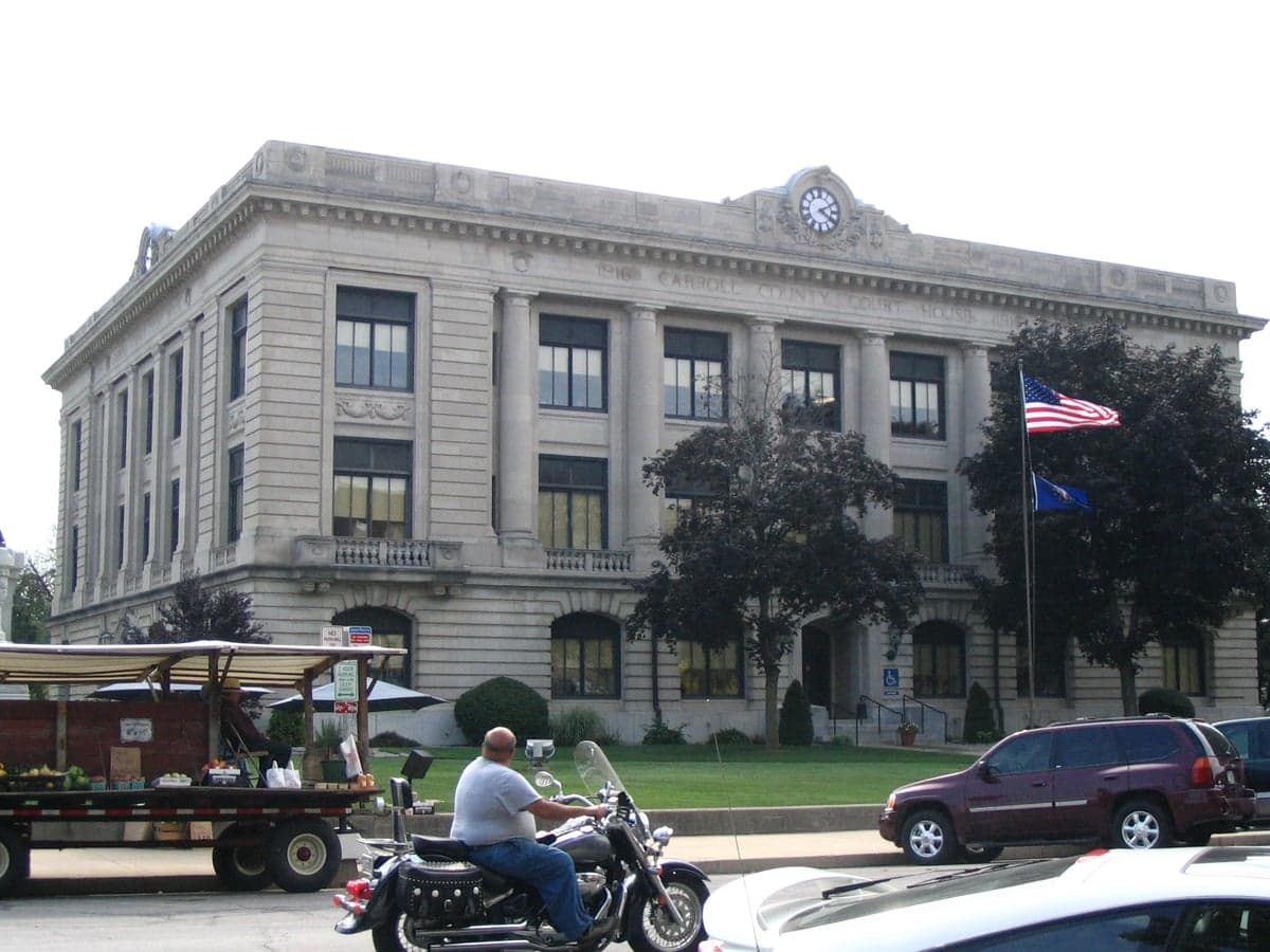
Photo: Wikipedia
Strategic Assessment of Carroll County
Workable tactical position. Some exposure to population density or targets, but generally defensible in a crisis.
What does the Strategic Assessment tell us?
Our Strategic Assessment grades tactical survivability of an area. Major population centers, military targets, fallout zones, natural disasters, and border exposure all drive risk — lower exposure means a more defensible position in a crisis.
This is heavily inspired by Joel Skousen's Strategic Relocation book. Highly recommended you checkout the book ($)What does this tell us?
Our Strategic Assessment grades tactical survivability of an area. Major population centers, military targets, fallout zones, natural disasters, and border exposure all drive risk — lower exposure means a more defensible position in a crisis.
This is heavily inspired by Joel Skousen's Strategic Relocation book. Highly recommended you checkout the book ($)Strategic Pillars

Key Distances
Strategic Assessment Analysis
Carroll County, Indiana, occupies a strategic position in the state's north-central agricultural heartland, offering a blend of rural self-sufficiency and measured access to regional infrastructure that appeals to relocation-minded individuals and families with a conservative, preparedness-oriented outlook. The county's resilience profile is shaped by its distance from major metropolitan targets, its robust local food and water systems, and its low population density, though proximity to the Wabash River and regional transportation corridors introduces specific considerations. For a relocator assessing long-term stability, Carroll County presents a balanced picture: strong natural advantages for self-reliance, moderate exposure to man-made risks, and a community fabric that supports mutual aid without the vulnerabilities of urban dependency.
Geographic position and natural advantages for long-term stability
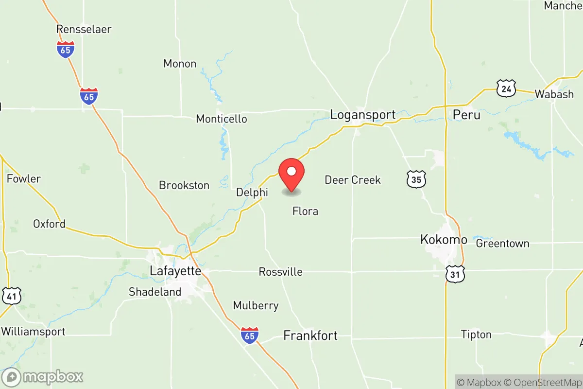
Carroll County sits roughly 60 miles northwest of Indianapolis and 30 miles northeast of Lafayette, placing it outside the immediate blast and fallout zones of those population centers while still allowing practical access to their medical and supply networks. The county's 375 square miles are predominantly flat to gently rolling farmland, with the Wabash River cutting through its southern half and the Tippecanoe River forming part of its northern boundary. This riverine geography provides two critical advantages: abundant surface water for irrigation and household use, and fertile alluvial soils that support corn, soybeans, and livestock operations. The county seat, Delphi, sits on the Wabash, while smaller communities like Flora, Burlington, and Camden dot the interior. Elevation across the county averages around 700 feet, with no significant floodplain exposure outside the immediate river corridors—meaning most residential areas are naturally defensible from both flooding and line-of-sight threats. The region's temperate climate, with roughly 35 inches of annual rainfall and a 170-day growing season, supports year-round food production without the extremes of drought or hurricane risk found in other parts of the country.
Risks, exposures, and proximity to fallout-relevant landmarks
Carroll County's primary man-made risk stems from its position relative to regional infrastructure rather than any single target within its borders. The county itself contains no major military installations, nuclear power plants, or petrochemical facilities—a significant advantage for fallout avoidance. However, two notable exposure vectors exist. First, the Wabash River corridor carries a CSX rail line and U.S. Route 24, which connect to the heavy industrial zones of Lafayette (home to Subaru of Indiana Automotive and several chemical processing plants) and Logansport (a rail hub with grain elevators and light manufacturing). A major incident at either location could produce a downwind hazard plume affecting southern and eastern Carroll County, particularly in Delphi and Camden. Second, the county lies roughly 90 miles northeast of the Newport Chemical Depot (now largely remediated but historically a nerve agent storage site) and 110 miles northwest of the Indiana Michigan Power Center, a coal-fired plant with large ash ponds. For natural hazards, the primary concern is tornado activity—Carroll County sits in the southern edge of Indiana's "Hoosier Alley," with an average of 2-3 tornado warnings per year. The 2016 Flora tornado, which killed one and destroyed multiple homes, is a recent reminder that mobile homes and older frame houses in open farmland are particularly vulnerable. Flooding along the Wabash and Tippecanoe Rivers is a periodic issue, with major events in 2008 and 2019 causing road closures and crop damage, though most residential areas above the river bluffs remain unaffected.
Practical resilience for a relocator: food, water, energy, and defensibility
For a relocator prioritizing self-sufficiency, Carroll County offers strong fundamentals. Food production is the county's standout asset: agriculture dominates the economy, with over 90% of land in farms or forest. Local grain elevators in Delphi, Flora, and Burlington provide bulk feed and seed, while the Delphi Farmers Market and several roadside stands offer seasonal produce. Hunting and fishing are viable—the Wabash and Tippecanoe Rivers support catfish, bass, and walleye, and public hunting land is available at the Carroll County Fish & Wildlife Area (1,200 acres) and the nearby Mississinewa Reservoir. Water access is excellent: the county's shallow aquifer system means most rural properties can drill a well at 50-100 feet, with typical yields of 10-20 gallons per minute. Municipal water in Delphi and Flora is drawn from the Wabash and treated, but a backup well and hand pump on private land is a straightforward investment. Energy resilience is moderate: Duke Energy provides grid electricity, with outages averaging 1-2 hours per month in rural areas. Solar potential is good—Indiana receives 4-4.5 peak sun hours daily—and several local installers serve the county. Propane is widely available for heating and backup generation, with bulk suppliers in Delphi and Camden. Wood heating is also practical, given the county's 15% forest cover. Defensibility is a mixed picture: the open farmland offers clear sightlines but limited cover, making a rural homestead with a perimeter of trees or a creek bed more secure than a house in town. The county's population of roughly 20,000 means low traffic and few strangers, but also limited law enforcement presence—the Carroll County Sheriff's Office has roughly 12 patrol deputies for the entire county, so response times in remote areas can exceed 20 minutes. Community resilience is high: the county has a strong tradition of volunteer fire departments (six stations), a countywide emergency management agency, and active church and farm bureau networks that coordinate mutual aid during disasters.
The overall strategic picture for Carroll County is one of balanced, low-profile resilience suited to a relocator who values self-reliance over urban convenience. Its distance from high-value targets like Indianapolis, Lafayette, and the Chicago metro area (150 miles north) dramatically reduces fallout risk, while its agricultural base and water abundance provide the essentials for long-term sustainability. The trade-offs are real but manageable: tornado exposure requires a reinforced safe room or basement (only about 40% of county homes have basements), and the lack of major medical facilities means a 30-45 minute drive to hospitals in Lafayette or Logansport for serious emergencies. For a family or individual willing to invest in a well, solar panels, and a storm shelter, Carroll County offers a defensible, productive base with a community that understands hard work and neighborly support—qualities that align well with a conservative, preparedness-minded lifestyle. The county is not a survivalist compound; it is a working agricultural region where resilience is a byproduct of everyday life rather than a specialized pursuit. That, in the end, may be its strongest recommendation.

* Values derived from national, state, county, city and local statistics and may differ in a specific area. Last updated: 2026-11-15T20:51:06.000Z
Narrative content on this page is AI-generated and may contain mistakes. Verify any details that matter before acting on them.
ReloMaps may earn a commission from affiliate links at no extra cost to you.

