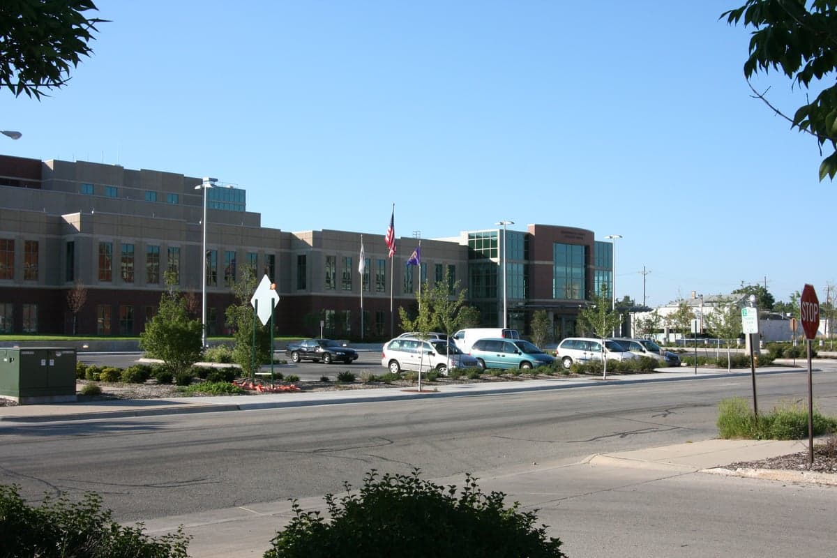
Photo: Wikipedia
Strategic Assessment of Winnebago County
Meaningful friction. Expect exposure to either population pressure, blast zones, or natural disaster risk. Consider buying a retreat property.
What does the Strategic Assessment tell us?
Our Strategic Assessment grades tactical survivability of an area. Major population centers, military targets, fallout zones, natural disasters, and border exposure all drive risk — lower exposure means a more defensible position in a crisis.
This is heavily inspired by Joel Skousen's Strategic Relocation book. Highly recommended you checkout the book ($)What does this tell us?
Our Strategic Assessment grades tactical survivability of an area. Major population centers, military targets, fallout zones, natural disasters, and border exposure all drive risk — lower exposure means a more defensible position in a crisis.
This is heavily inspired by Joel Skousen's Strategic Relocation book. Highly recommended you checkout the book ($)Strategic Pillars

Key Distances
Strategic Assessment Analysis
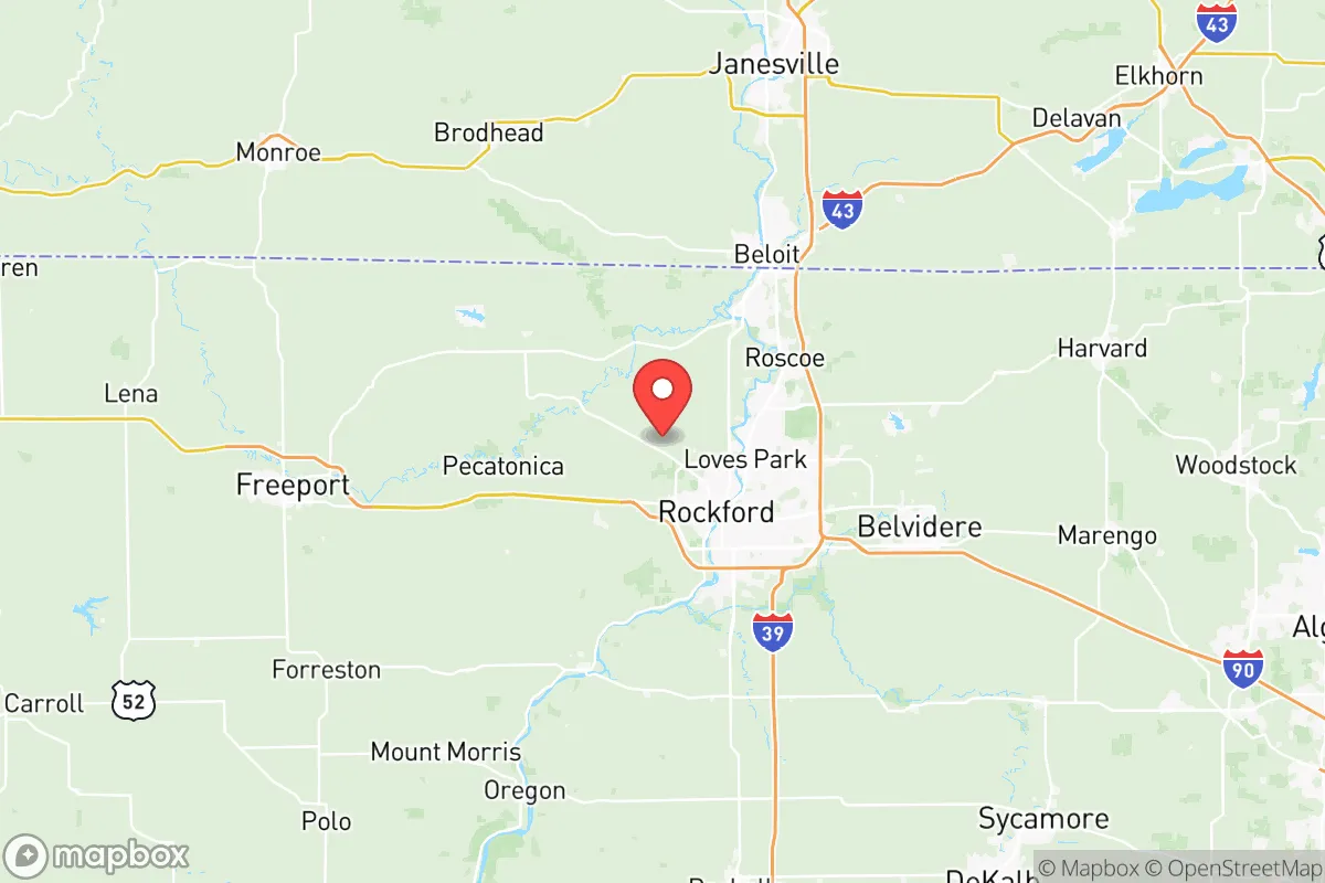
Winnebago County, anchored by the city of Rockford, presents a mixed strategic picture for relocation-minded individuals and families prioritizing resilience and self-sufficiency. Its position in north-central Illinois, roughly 90 miles west of Chicago and 70 miles south of Milwaukee, offers a meaningful buffer from the immediate fallout zones of those major metropolitan areas while still providing access to their logistical networks. The county's location along the Rock River and its proximity to Interstate 39/90 and Interstate 88 create a transportation corridor that is both an advantage for supply movement and a potential liability in a crisis scenario, making it a location that demands careful, grounded assessment rather than casual optimism.
Geographic position and natural advantages for long-term stability
Winnebago County sits within the Rock River Valley, a region defined by rolling hills, wooded bluffs, and fertile agricultural land that gives it a structural advantage over flatter, more exposed parts of the Midwest. The Rock River itself runs through the heart of the county, passing through Rockford, Loves Park, and South Beloit before flowing southwest toward the Mississippi, providing a reliable surface water source that is less prone to the seasonal drawdowns seen in reservoir-dependent areas. The county's underlying geology includes substantial glacial till and shallow bedrock aquifers, which support well water in many rural and suburban parcels, a critical factor for anyone evaluating long-term water independence. The terrain offers natural defensibility in places, particularly in the wooded areas around the Kishwaukee River and the Sugar River confluence near Shirland, where elevation changes and tree cover create pockets of concealment and tactical advantage. The county's position places it outside the direct path of most major tornado tracks that hammer the central plains, though it sits within the northern edge of "Tornado Alley" and experiences severe weather seasonally. The proximity to the Driftless Area, which extends into southwestern Wisconsin, means the county avoids the flat, exposed agricultural monoculture that defines much of central Illinois, offering more diverse microclimates and ecological stability.
Risk exposure, man-made hazards, and proximity to fallout-relevant landmarks
Winnebago County's risk profile is shaped by its industrial history and its position relative to several high-value infrastructure targets that could become fallout-relevant in a major conflict or systemic collapse scenario. The most significant concern is the county's proximity to the Chicago metropolitan area, which contains O'Hare International Airport, the Argonne National Laboratory, and the extensive refinery and chemical corridor along the Lake Michigan shoreline. A major event in Chicago could produce fallout patterns that affect Winnebago County depending on prevailing westerly winds, though the 90-mile distance provides a meaningful dilution factor. Closer to home, the county contains its own industrial infrastructure that could become secondary targets or points of concern: the Rockford area hosts Woodward, Inc., a major aerospace and defense contractor, and the Chicago Rockford International Airport (RFD) serves as a significant cargo hub and diversion field for military aircraft, including a regular presence of C-130s and other transport planes. The county is also within 60 miles of the Byron Nuclear Generating Station in Ogle County, a 2,300-megawatt nuclear plant that, while well-maintained, represents a potential radiological hazard in a cascading failure scenario. The presence of Interstate 39/90, a major north-south artery connecting Chicago to Madison and the Upper Midwest, means the county would likely see heavy refugee traffic and supply chain disruption during a regional emergency. The county's flood risk is concentrated along the Rock River and its tributaries, with Rockford's southwest side and areas around Loves Park experiencing periodic inundation, though modern flood control infrastructure has mitigated the worst of it since the 2008 floods.
Practical resilience for relocators: food, water, energy, and defensibility
For a relocator evaluating practical self-sufficiency, Winnebago County offers a mixed but workable foundation. The county's agricultural base is substantial, with over 60% of its land area in farms producing corn, soybeans, and livestock, concentrated in the townships around Durand, Pecatonica, and Winnebago. This means local food production capacity is high, though much of it is currently funneled into commodity markets rather than local distribution networks. Farmers markets and CSAs are well-established in Rockford and the surrounding villages, and the county's soil quality supports serious market gardening and small-scale farming operations. Water access is the county's strongest resilience asset: the Rock River provides a massive surface water resource, and the glacial aquifers beneath much of the county support reliable well water at depths of 50 to 150 feet in most areas, though well yields vary significantly between the river valley and the upland areas. Energy infrastructure is more concerning: the county is served by ComEd and several rural electric cooperatives, but the grid is aging and vulnerable to ice storms and high winds that regularly cause multi-day outages in the more rural townships like Argyle and Owen. Natural gas is widely available in incorporated areas, but propane and wood heating are common in outlying properties, and the county's tree cover is sufficient for sustainable firewood harvesting with proper management. Defensibility varies dramatically by location: the dense suburban subdivisions of Machesney Park and Belvidere offer little tactical advantage, while the scattered rural homesteads in the county's northern and western townships, particularly around Roscoe and Shirland, provide better options for perimeter control and standoff distance. The county's law enforcement presence is concentrated in Rockford, which has higher crime rates than the national average, meaning rural areas rely heavily on the Winnebago County Sheriff's Office, which has a solid reputation but limited response times in the far reaches of the county.
The overall strategic picture for Winnebago County is one of moderate resilience with clear trade-offs. Its geographic position offers a meaningful buffer from the highest-risk urban and industrial targets while still providing access to the logistical and medical infrastructure of Rockford and the broader region. The county's water resources and agricultural land are genuine advantages that few Midwestern counties can match, and the terrain provides enough diversity to support a range of self-sufficiency strategies. However, the presence of defense-related industry in Rockford, the proximity to the Byron nuclear plant, and the county's position along major evacuation corridors mean that a relocator must think carefully about specific parcel selection, focusing on the northern and western townships where population density drops and defensible terrain improves. For a family or individual willing to invest in well water, solar backup, and serious food production capacity, Winnebago County offers a viable base of operations that balances access with isolation better than most counties within 100 miles of Chicago. The key is to treat it as a strategic location that requires active preparation rather than a passive safe haven, and to recognize that its advantages are real but contingent on the same infrastructure and social stability that could be disrupted in a major crisis.

* Values derived from national, state, county, city and local statistics and may differ in a specific area. Last updated: 2026-07-04T05:42:17.000Z
Narrative content on this page is AI-generated and may contain mistakes. Verify any details that matter before acting on them.
ReloMaps may earn a commission from affiliate links at no extra cost to you.

