Photo: Wikipedia
Strategic Assessment of Twin Falls County
Strong survivability profile. Good buffer from population centers, with manageable environmental and tactical risks.
What does the Strategic Assessment tell us?
Our Strategic Assessment grades tactical survivability of an area. Major population centers, military targets, fallout zones, natural disasters, and border exposure all drive risk — lower exposure means a more defensible position in a crisis.
This is heavily inspired by Joel Skousen's Strategic Relocation book. Highly recommended you checkout the book ($)What does this tell us?
Our Strategic Assessment grades tactical survivability of an area. Major population centers, military targets, fallout zones, natural disasters, and border exposure all drive risk — lower exposure means a more defensible position in a crisis.
This is heavily inspired by Joel Skousen's Strategic Relocation book. Highly recommended you checkout the book ($)Strategic Pillars

Key Distances
Strategic Assessment Analysis
Twin Falls County offers a compelling strategic position for relocation, combining the resilience of a secondary population center with the practical advantages of Idaho's high desert geography. The county's location along the Snake River Plain provides a buffer from the congestion and target density of the Intermountain West's major corridors, while still maintaining access to essential infrastructure and supply chains. For a reader prioritizing disaster readiness and self-sufficiency, the area presents a balanced profile of natural advantages and manageable risks that warrant serious consideration.
Geographic position and natural advantages for long-term stability
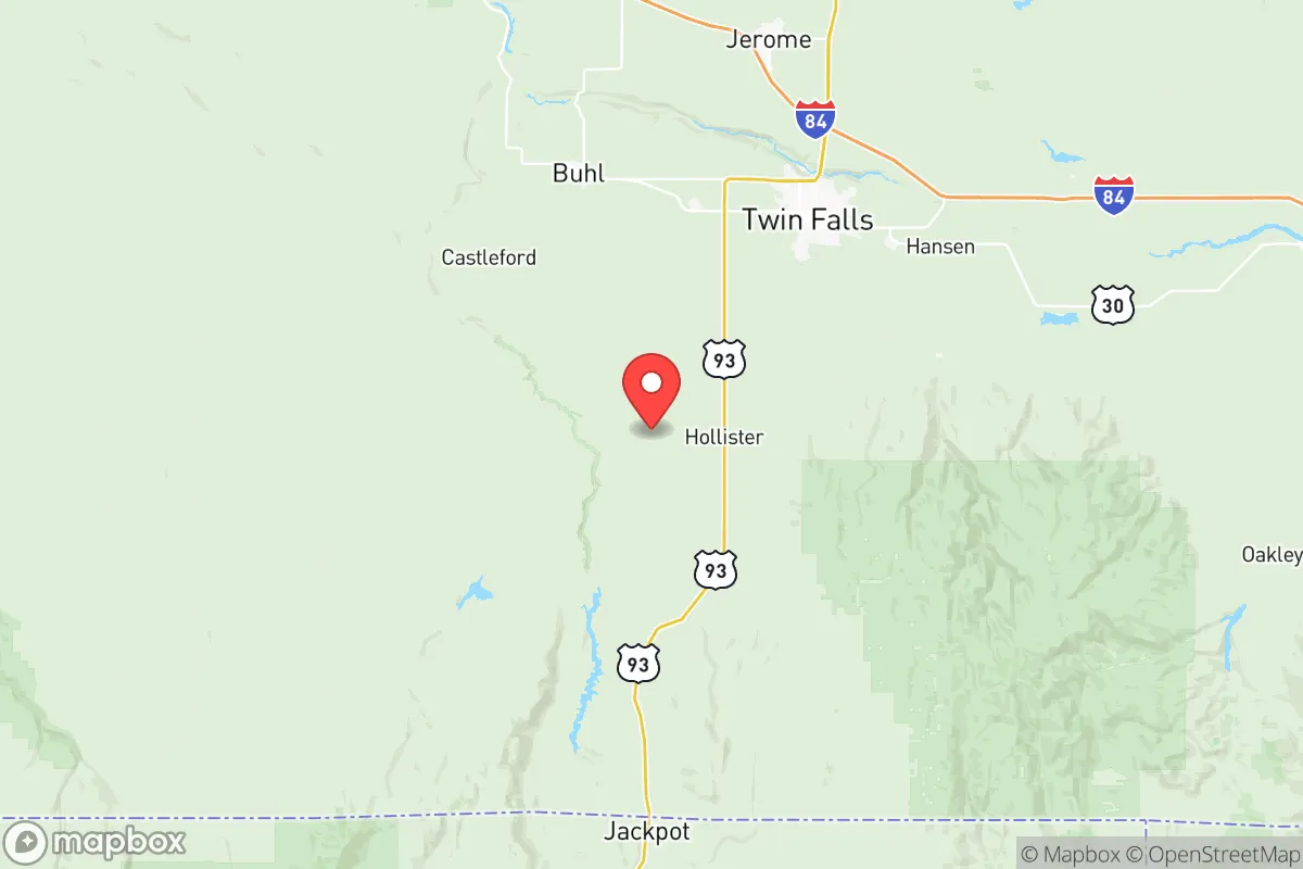
Twin Falls County sits at a strategic nexus in south-central Idaho, roughly equidistant from Boise (130 miles west) and Salt Lake City (220 miles southeast), placing it outside the immediate fallout zones of either metropolitan area. The county's defining feature is the Snake River Canyon, a 500-foot-deep chasm that provides natural defensibility and a reliable water source through the Snake River itself. The surrounding landscape is high desert sagebrush steppe at approximately 3,700 feet elevation, which offers several resilience advantages: low humidity reduces corrosion and equipment degradation, minimal tree cover limits wildfire fuel loads compared to forested regions, and the arid climate supports year-round outdoor activity and infrastructure maintenance. The region sits within the Eastern Snake River Plain aquifer system, one of the most productive groundwater reservoirs in the western United States, with the Magic Valley region drawing from this source for both municipal and agricultural use. The nearby Sawtooth National Forest and the South Hills provide additional buffer zones to the north and east, while the open terrain to the south and west offers clear sightlines and limited approach vectors for any hypothetical threat scenario.
Risks, exposures, and proximity to fallout-relevant landmarks
The county's risk profile is moderate compared to coastal or major metropolitan areas, but specific exposures deserve attention. The primary natural hazard is seismic activity from the nearby Wasatch Fault Zone and the less active but still relevant Bruneau-Jarbidge volcanic field to the west, though significant events are infrequent. The Snake River Plain's geology is generally stable, but the region sits within the Intermountain Seismic Belt, and a major quake could disrupt the aquifer system or damage the Milner Dam and other irrigation infrastructure critical to the local food supply. Man-made risks are more localized: the county contains the Twin Falls municipal area itself, which houses the St. Luke's Magic Valley Medical Center as a regional trauma center, but also includes the Simplot phosphoric acid plant near the Snake River and the Amalgamated Sugar factory in Paul, both of which represent industrial hazard points. The Mountain Home Air Force Base lies roughly 80 miles northwest in Elmore County, hosting the 366th Fighter Wing with F-15E Strike Eagles, which could make the broader region a secondary target in a major conflict. The county's proximity to the Idaho National Laboratory (about 120 miles northeast near Arco) introduces a low-probability but high-consequence risk of radiological incident, though prevailing winds typically carry fallout eastward toward Wyoming rather than south toward Twin Falls. Interstate 84 runs through the northern portion of the county, providing a major east-west evacuation and supply route, but also serving as a potential chokepoint during any regional crisis.
Practical resilience for a relocator: food, water, energy, and defensibility
Twin Falls County excels in practical resilience metrics, particularly food and water security. The Magic Valley is one of the most productive agricultural regions in the United States, with the county producing significant quantities of potatoes, sugar beets, dairy, and beef. The Snake River provides irrigation water through an extensive canal system, and the aquifer supports deep wells for private property owners. For a relocator, this means local food production is abundant and diversified, with the Twin Falls Farmers Market and multiple CSA operations providing direct access to fresh produce. The county's energy profile is favorable: the Shoshone Falls and other Snake River hydroelectric facilities provide renewable baseload power, and the region has growing solar capacity. The Idaho Power grid is relatively stable, though rural areas may experience outages during winter storms. Defensibility is a mixed picture: the Snake River Canyon provides a natural barrier to the south, but the open terrain elsewhere offers limited cover. The county's population density is low at roughly 40 people per square mile, with the majority concentrated in Twin Falls city (population ~52,000) and smaller towns like Jerome, Kimberly, and Filer. This dispersion reduces disease transmission risk and resource competition during crises. The local healthcare system, anchored by St. Luke's Magic Valley, includes a Level II trauma center and air ambulance service, but specialized care requires transport to Boise or Salt Lake City. For a relocator, the county's combination of local food production, water availability, and moderate population density creates a strong baseline for self-sufficiency, though the open terrain and industrial points require careful property selection to maximize defensibility.
The overall strategic picture for Twin Falls County is one of balanced resilience with manageable trade-offs. The area's geographic isolation from major metropolitan targets, combined with its agricultural productivity and water security, makes it a strong candidate for a relocation focused on long-term stability. The primary vulnerabilities are the industrial facilities within the county and the proximity to Mountain Home Air Force Base and Idaho National Laboratory, which introduce low-probability but real risks. For a relocator willing to select property away from these points and invest in independent water and energy systems, the county offers a defensible position with access to local food production and a functional healthcare system. The region's conservative political culture and existing preparedness infrastructure, including multiple gun clubs and outdoor recreation groups, further support a self-sufficient lifestyle. Twin Falls County does not offer the extreme isolation of northern Idaho or the deep bunker potential of the Nevada desert, but it provides a practical, livable balance of resilience and access that suits a serious preparedness-minded relocation.

* Values derived from national, state, county, city and local statistics and may differ in a specific area. Last updated: 2026-06-15T15:49:04.000Z
Narrative content on this page is AI-generated and may contain mistakes. Verify any details that matter before acting on them.
ReloMaps may earn a commission from affiliate links at no extra cost to you.

