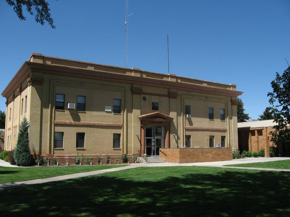
Photo: Wikipedia
Strategic Assessment of Minidoka County
Strong survivability profile. Good buffer from population centers, with manageable environmental and tactical risks.
What does the Strategic Assessment tell us?
Our Strategic Assessment grades tactical survivability of an area. Major population centers, military targets, fallout zones, natural disasters, and border exposure all drive risk — lower exposure means a more defensible position in a crisis.
This is heavily inspired by Joel Skousen's Strategic Relocation book. Highly recommended you checkout the book ($)What does this tell us?
Our Strategic Assessment grades tactical survivability of an area. Major population centers, military targets, fallout zones, natural disasters, and border exposure all drive risk — lower exposure means a more defensible position in a crisis.
This is heavily inspired by Joel Skousen's Strategic Relocation book. Highly recommended you checkout the book ($)Strategic Pillars

Key Distances
Strategic Assessment Analysis
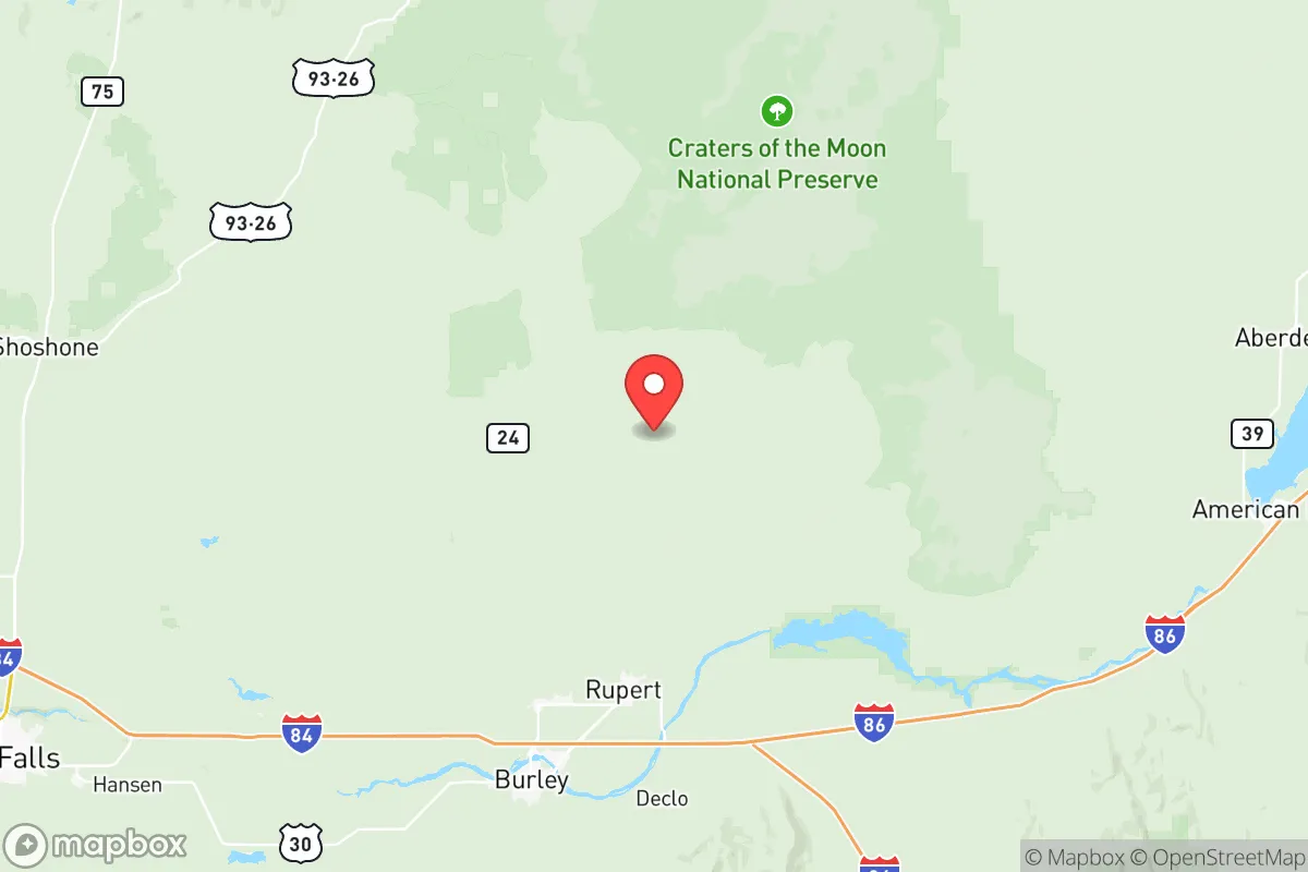
Minidoka County, Idaho, offers a strategic relocation option for those prioritizing resilience and distance from the chaos of major population centers. Its location in the south-central part of the state, anchored by the city of Rupert and the county seat of Heyburn, places it far from the coastal fallout zones and the political volatility of the West Coast. The area’s agricultural backbone and low population density—roughly 21,000 residents spread across 762 square miles—provide a buffer against the supply chain disruptions and civil unrest that increasingly plague urban corridors. For a conservative-leaning individual or family looking to weather national instability, this county presents a defensible, self-sufficient base with real, tangible advantages.
Geographic position and natural advantages for long-term security
Minidoka County sits in the Magic Valley region, a fertile agricultural zone fed by the Snake River Aquifer. This is not arid high desert; it’s irrigated farmland producing potatoes, sugar beets, and alfalfa, which means local food security is baked into the landscape. The county is roughly 150 miles from Boise, but that distance is a feature, not a bug—Boise’s growing population and progressive politics make it a potential flashpoint, and Minidoka County’s separation from that metro area reduces exposure to its problems. The Snake River itself provides a reliable water source, and the area’s elevation (around 4,200 feet) offers a moderate climate with four distinct seasons, avoiding the extreme heat of the Southwest or the brutal winters of the northern Rockies. The nearby Minidoka National Wildlife Refuge and the Sawtooth National Forest to the north offer natural barriers and resources, but the real advantage is the county’s position as a breadbasket region, not a transit hub. There are no major interstate highways cutting through—U.S. Route 30 and State Highway 24 are the main arteries—which limits the flow of transient populations during a crisis.
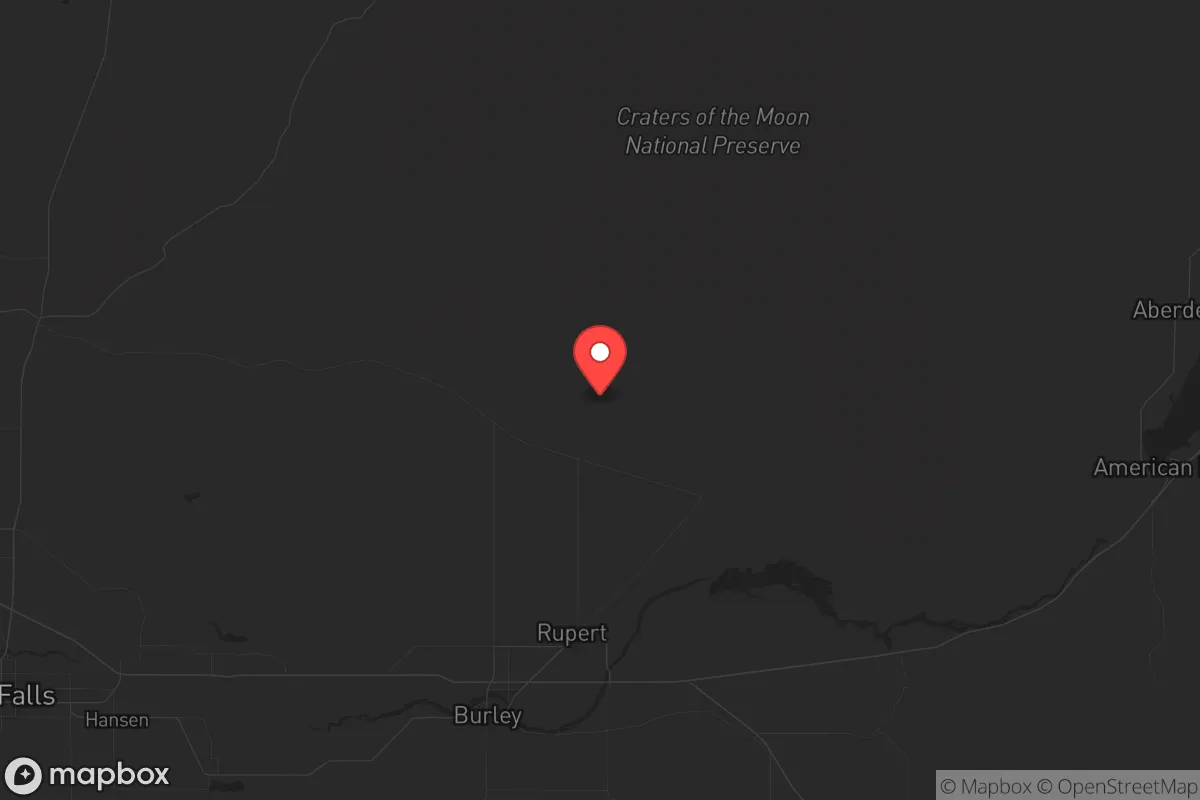
Risks, exposures, and proximity to fallout-relevant landmarks
No location is immune to risk, and Minidoka County has its own set of exposures that a strategic relocator must weigh. The most significant is the Idaho National Laboratory (INL), located about 60 miles northeast near Arco. INL is a major nuclear research facility, and while it’s not a commercial power plant, it handles radioactive materials and has a history of incidents, including a 1961 reactor accident that killed three workers. In a worst-case scenario—a terrorist attack, a major earthquake, or a cascading grid failure—INL could become a contamination source. The prevailing winds in the region blow from the southwest, so fallout from INL would likely drift toward the sparsely populated eastern desert, but Minidoka County is close enough that a plume could reach Rupert or Heyburn within hours. Additionally, the county is near the Mountain Home Air Force Base, about 80 miles west, which is a strategic asset but also a potential target. The base houses F-15E Strike Eagles and supports global operations, making it a high-value military target in a conflict scenario. On the plus side, Minidoka County is far from the Port of Seattle and the Los Angeles/Long Beach port complex, which are choke points for national supply chains and likely targets for disruption. The county’s distance from these coastal vulnerabilities is a major strategic advantage.
Practical resilience for a relocator: food, water, energy, and defensibility
For a prepper-minded individual, Minidoka County checks several critical boxes. Food security is the strongest asset: the county is part of the Magic Valley, one of the most productive agricultural regions in the West. Rupert is home to several potato processing plants and sugar beet facilities, meaning bulk food production is local. A relocator with acreage can tap into irrigation rights from the Snake River Aquifer, which is one of the largest groundwater systems in the country. Water is not a concern here—unlike much of the Southwest, the aquifer is replenished by snowmelt from the Sawtooths, and the county has a robust canal system. Energy is stable but not independent: the grid is served by Idaho Power, which relies on hydroelectric dams on the Snake River. In a grid-down scenario, the dams are vulnerable to sabotage or natural failure, but the county’s low population means less competition for backup resources. Solar panels are a viable supplement, given the region’s 200+ sunny days per year. Defensibility is mixed: the terrain is flat to gently rolling, offering limited natural cover, but the rural layout means neighbors are spaced out, reducing the risk of mob violence. The county has a strong agricultural community with a culture of self-reliance and firearm ownership, which aligns with a conservative ethos. The local sheriff’s office and volunteer fire departments are present but thin—don’t expect rapid response in a crisis. For a relocator, the key is to secure a property with a well, a septic system, and a defensible perimeter, ideally near the Snake River or one of its tributaries like the Minidoka Canal.
The overall strategic picture for Minidoka County is one of calculated trade-offs. It offers genuine resilience through its agricultural base, water abundance, and distance from coastal and urban chaos, but it is not a fortress. The proximity to the Idaho National Laboratory and Mountain Home Air Force Base introduces real, though manageable, risks. For a conservative family seeking to escape the decay of blue-state cities—the rising crime, the political indoctrination in schools, the fragility of urban infrastructure—this county provides a viable landing zone. It’s not a survivalist compound in the wilderness; it’s a working agricultural community where you can integrate, contribute, and prepare. The key is to act before the next wave of instability pushes more people inland. Minidoka County is still affordable—median home prices in Rupert hover around $250,000—but that window is closing as awareness grows. If you’re serious about strategic relocation, this area deserves a hard look, but come ready to work the land and build your own security, because the county’s strengths are passive, not guaranteed.
* Values derived from national, state, county, city and local statistics and may differ in a specific area. Last updated: 2026-05-08T19:05:20.000Z
Narrative content on this page is AI-generated and may contain mistakes. Verify any details that matter before acting on them.
ReloMaps may earn a commission from affiliate links at no extra cost to you.