Photo: Wikipedia
Strategic Assessment of Elmore County
Strong survivability profile. Good buffer from population centers, with manageable environmental and tactical risks.
What does the Strategic Assessment tell us?
Our Strategic Assessment grades tactical survivability of an area. Major population centers, military targets, fallout zones, natural disasters, and border exposure all drive risk — lower exposure means a more defensible position in a crisis.
This is heavily inspired by Joel Skousen's Strategic Relocation book. Highly recommended you checkout the book ($)What does this tell us?
Our Strategic Assessment grades tactical survivability of an area. Major population centers, military targets, fallout zones, natural disasters, and border exposure all drive risk — lower exposure means a more defensible position in a crisis.
This is heavily inspired by Joel Skousen's Strategic Relocation book. Highly recommended you checkout the book ($)Strategic Pillars

Key Distances
Strategic Assessment Analysis
Geographic position and natural advantages for self-sufficiency
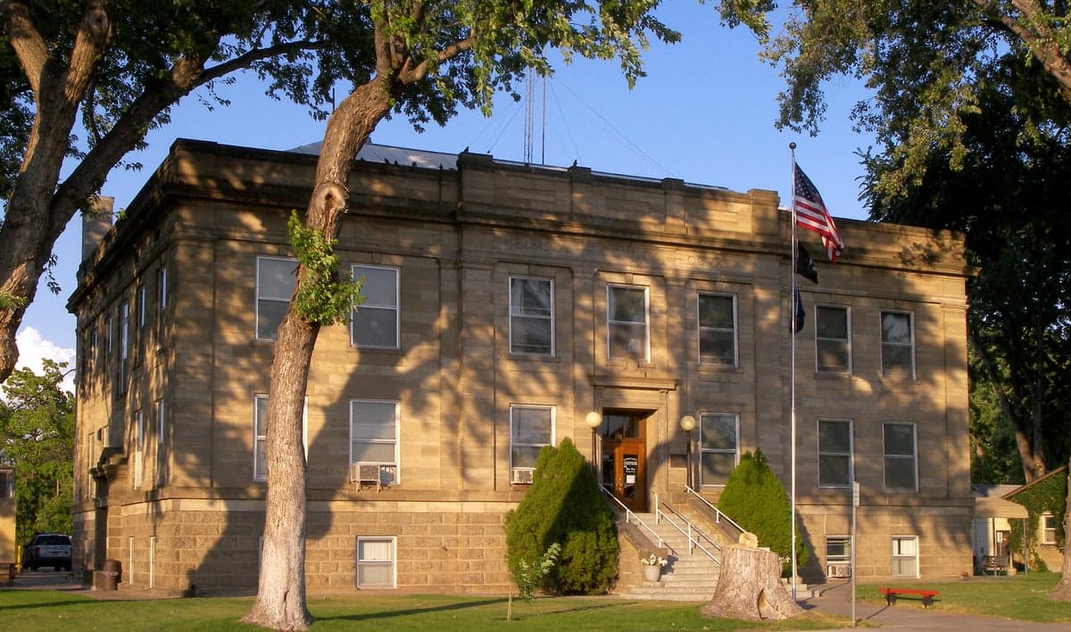
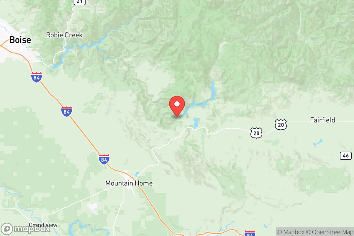
Elmore County's geography is its primary strategic asset. The county stretches from the Snake River Plain in the north up into the high desert and mountain ranges of the Sawtooth National Forest and the Boise National Forest to the east. This provides a dramatic elevation gradient, offering diverse microclimates and resources within a single county. The town of Mountain Home sits on the plain, providing easy access to Interstate 84 and the Boise metro area (about 45 minutes west), while communities like Pine and Featherville lie deep in the mountains, offering extreme seclusion and defensible terrain. The South Fork of the Boise River and the Big Wood River drain the eastern portion, providing reliable water sources for those living in the foothills. This combination of high desert for dryland grazing and mountain valleys for water and timber gives a relocator options for a diversified homestead. The sheer size of the county—over 3,000 square miles—means that population density is extremely low outside of Mountain Home, a major plus for anyone seeking privacy and buffer from societal disruption.Risks, exposures, and proximity to potential fallout-relevant landmarks
The most significant strategic risk in Elmore County is the presence of Mountain Home Air Force Base. While the base is a major economic driver and provides a level of local security, it is a high-value military target in any major conflict scenario. The base is home to the 366th Fighter Wing, operating F-15E Strike Eagles, making it a primary target for an adversary's initial strike. The town of Mountain Home itself lies directly adjacent to the base, meaning any ground-level fallout or secondary effects from a strike on the base would directly impact the town and its immediate surroundings. Additionally, the county is within the broader "Idaho National Laboratory zone of influence"—while the lab is over 150 miles east in Butte County, prevailing winds and the potential for a cascading event make it a distant but non-zero concern. The county is also crossed by major natural gas pipelines and high-voltage transmission lines feeding the Boise Valley, which could be points of failure during a grid-down event. On the natural disaster front, the primary risks are wildfire (especially in the mountain communities like Pine and Featherville) and earthquake risk along the western edge of the Basin and Range province, though seismic activity is generally low compared to the Wasatch Front.Practical resilience for a relocator: food, water, energy, and defensibility
For a relocator serious about self-sufficiency, Elmore County offers a solid foundation with notable caveats. Water is the most critical factor: the Snake River Plain has abundant groundwater, but well depths can be significant (200-400 feet) and drilling costs are high. Surface water rights on the South Fork Boise and Big Wood are heavily appropriated, so securing a legal water source requires due diligence. Food production is viable but challenging: the growing season is short (90-120 days) and the soil is primarily volcanic loam and sagebrush steppe, requiring significant amendment for row crops. However, the area is excellent for dryland grazing, making it suitable for livestock like cattle, goats, and sheep. Energy independence is achievable: the region has excellent solar insolation (over 300 sunny days per year), and off-grid solar setups are common in the mountain communities. Wood heating is also a primary heat source in the mountains, with ample public land for firewood collection. Defensibility varies by location: the mountain valleys offer natural chokepoints and high ground, while the open plain around Mountain Home is far more exposed. The county's low population density and vast public lands (over 60% of the county is federal land) provide a buffer, but also mean that law enforcement response times in remote areas can be measured in hours, not minutes. The overall strategic picture for Elmore County is one of calculated opportunity. It offers genuine geographic depth, multiple resource zones, and a buffer from the concentrated risks of the Boise metro area. The primary liability is the Air Force base, which introduces a hard-target risk that cannot be mitigated by distance alone—if you are within 10 miles of Mountain Home, you are in the blast and fallout zone of a potential strike. For a relocator willing to push deeper into the mountains—toward Pine, Featherville, or the remote reaches of the Owyhee Front—the county provides a defensible, resource-rich environment with strong potential for long-term self-sufficiency. The trade-off is isolation, harsh winters, and the need for significant upfront investment in water and energy infrastructure. For those who can manage those factors, Elmore County ranks as one of the more strategically sound options in the Intermountain West.
* Values derived from national, state, county, city and local statistics and may differ in a specific area. Last updated: 2026-07-18T13:42:35.000Z
Narrative content on this page is AI-generated and may contain mistakes. Verify any details that matter before acting on them.
ReloMaps may earn a commission from affiliate links at no extra cost to you.

