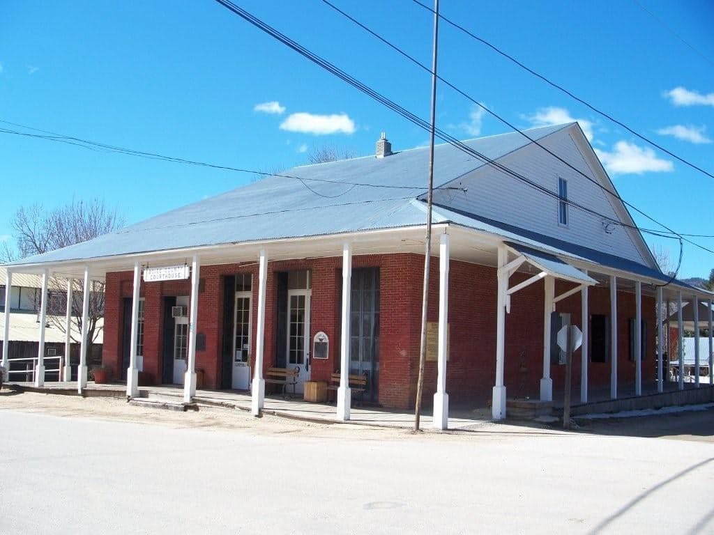
Photo: Wikipedia
Strategic Assessment of Boise County
Strong survivability profile. Good buffer from population centers, with manageable environmental and tactical risks.
What does the Strategic Assessment tell us?
Our Strategic Assessment grades tactical survivability of an area. Major population centers, military targets, fallout zones, natural disasters, and border exposure all drive risk — lower exposure means a more defensible position in a crisis.
This is heavily inspired by Joel Skousen's Strategic Relocation book. Highly recommended you checkout the book ($)What does this tell us?
Our Strategic Assessment grades tactical survivability of an area. Major population centers, military targets, fallout zones, natural disasters, and border exposure all drive risk — lower exposure means a more defensible position in a crisis.
This is heavily inspired by Joel Skousen's Strategic Relocation book. Highly recommended you checkout the book ($)Strategic Pillars

Key Distances
Strategic Assessment Analysis
Boise County, Idaho, offers a strategic relocation option for those prioritizing disaster readiness and self-sufficiency, balancing remote mountain security with practical access to critical infrastructure. Its rugged terrain and low population density—roughly 8,000 residents spread across 1,900 square miles—provide natural buffers against both urban chaos and fallout-related risks, while still being within a two-hour drive of Boise’s medical and supply hubs. The county’s resilience stems from its geographic isolation, limited industrial targets, and a culture of self-reliance that aligns with conservative preparedness values.
Geographic position and natural advantages for long-term security
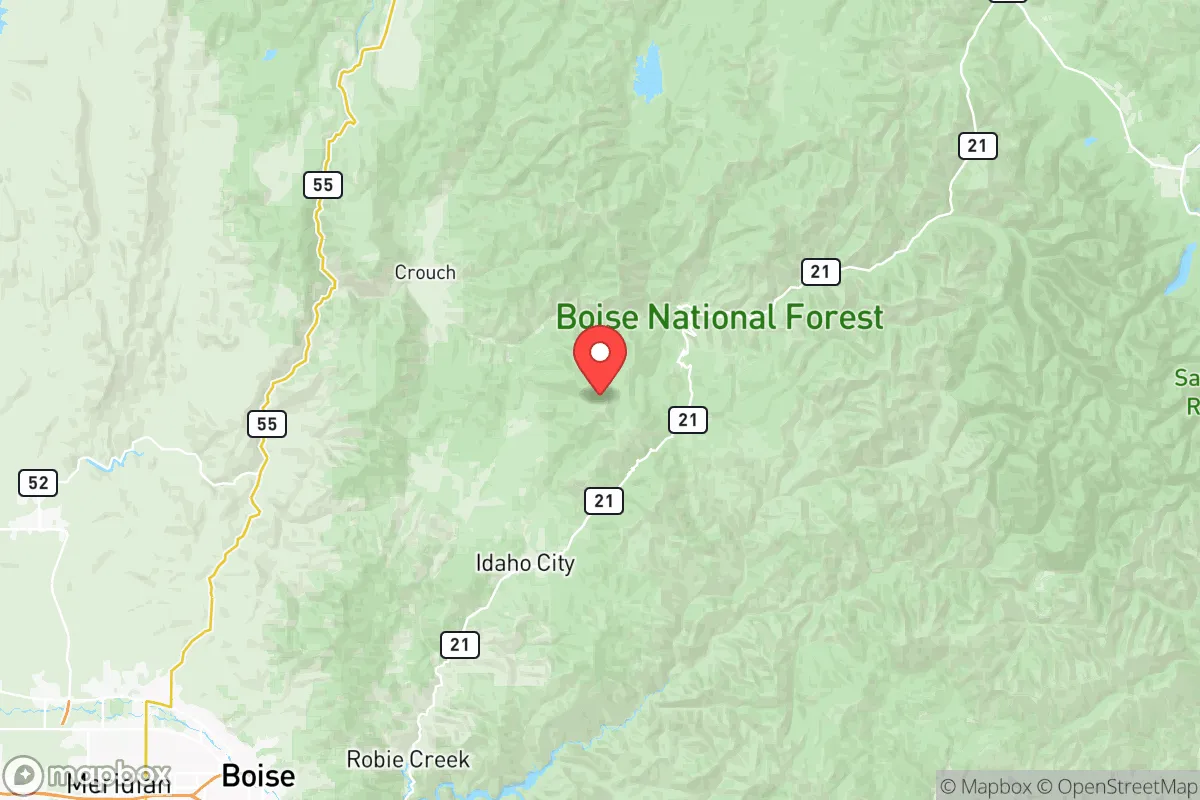
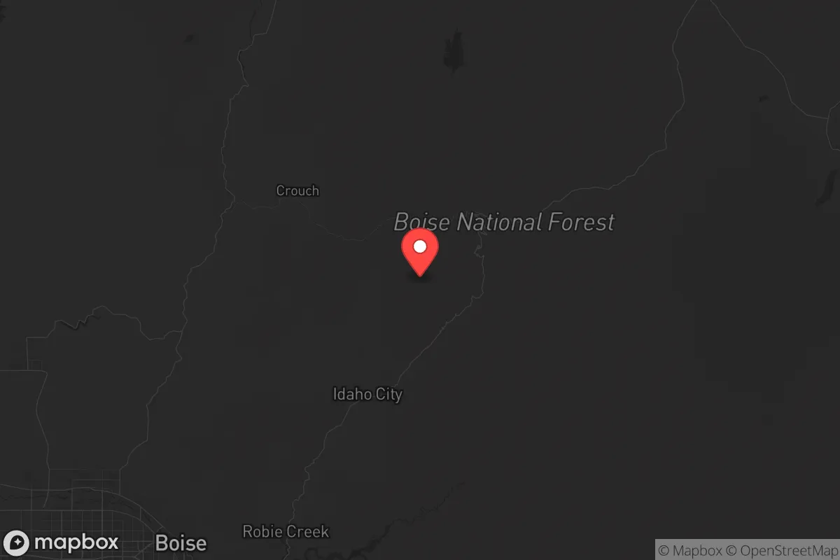
Boise County sits in central Idaho’s Rocky Mountain foothills, with the Payette River and Boise National Forest forming its backbone. The county’s elevation—ranging from 3,000 feet in the valley floors to over 9,000 feet at peaks like Mount Cramer—creates defensible terrain with multiple escape routes via State Highways 21 and 55. The Boise River watershed provides abundant surface water, while the Payette River system offers hydroelectric potential from existing small-scale dams near Banks and Lowman. Unlike flat, exposed regions, Boise County’s steep canyons and forested ridges make large-scale ground movement difficult, a natural advantage for perimeter security. The county’s position in the Idaho Batholith geological zone means stable bedrock for underground storage or bunkers, with minimal seismic risk compared to western Idaho. Winters are harsh—Idaho City averages 60 inches of snow annually—but this isolation reduces unwanted traffic during crises, as mountain passes become impassable to unprepared vehicles.
Risks, exposures, and proximity to fallout-relevant landmarks
Boise County’s primary risk is wildfire, with the 2021 Snake River Complex Fire burning 100,000 acres across the region. The county’s dense pine forests and dry summers create a 6-month fire season, requiring defensible space and fire-resistant construction. Flooding along the Payette River near Garden Valley is a secondary concern, with spring snowmelt occasionally washing out low-lying roads. For fallout-relevant landmarks, the county is 90 miles northeast of Mountain Home Air Force Base, a strategic bomber and tanker base that could be a nuclear target. The Boise Airport and Boise National Laboratory (a nuclear research facility 120 miles west) are additional risk zones, though prevailing westerly winds would carry fallout east, away from Boise County. The county has no refineries, major ports, or chemical plants within 50 miles, reducing industrial accident exposure. The Ponderosa Pine Scenic Route (Highway 21) is the only paved north-south artery, making evacuation bottleneck-prone during a crisis—a key vulnerability for relocators.
Practical resilience for a relocator: food, water, energy, and defensibility
Boise County’s practical resilience is strong but requires upfront investment. Water access is excellent: the county sits atop the Boise River Aquifer, with most properties able to drill wells at 100-300 feet for $5,000-$10,000. Surface water from the Payette and South Fork Payette Rivers is plentiful but requires filtration due to agricultural runoff from upstream ranches. Food production is limited by short growing seasons (90-120 frost-free days) and thin mountain soils, though Idaho City and Horseshoe Bend have community gardens and small-scale livestock operations. The county’s energy grid is served by Idaho Power, with frequent winter outages due to ice storms; solar panels with battery storage are viable, as the region averages 200 sunny days annually. Defensibility is high: the county’s 8,000 residents are spread across small towns like Placerville (pop. 50) and Centerville (pop. 30), with most homes on 5-40 acre parcels offering clear sightlines. The Boise County Sheriff’s Office has 12 deputies for the entire county, meaning law enforcement response times exceed 30 minutes in remote areas—a factor that favors armed self-reliance. Medical care is limited to a clinic in Idaho City; trauma cases require a 90-minute drive to St. Luke’s Boise Medical Center, so relocators should stock advanced first-aid supplies.
Overall, Boise County presents a strong strategic picture for the disaster-conscious relocator, provided they accept its trade-offs. The county’s isolation from major targets, abundant water, and defensible terrain outweigh the wildfire risk and limited medical access. For a family or individual willing to invest in off-grid infrastructure—solar, well, and fire mitigation—the area offers a sustainable long-term base. The key is to locate on the eastern side of the county, away from the Highway 55 corridor near Banks, which sees tourist traffic from Boise. With proper preparation, Boise County can function as a resilient redoubt in a broader crisis scenario, balancing security with access to the outside world when needed.

* Values derived from national, state, county, city and local statistics and may differ in a specific area. Last updated: 2026-11-09T10:24:00.000Z
Narrative content on this page is AI-generated and may contain mistakes. Verify any details that matter before acting on them.
ReloMaps may earn a commission from affiliate links at no extra cost to you.

