
Photo: Wikipedia
Strategic Assessment of Oconee County
Workable tactical position. Some exposure to population density or targets, but generally defensible in a crisis.
What does the Strategic Assessment tell us?
Our Strategic Assessment grades tactical survivability of an area. Major population centers, military targets, fallout zones, natural disasters, and border exposure all drive risk — lower exposure means a more defensible position in a crisis.
This is heavily inspired by Joel Skousen's Strategic Relocation book. Highly recommended you checkout the book ($)What does this tell us?
Our Strategic Assessment grades tactical survivability of an area. Major population centers, military targets, fallout zones, natural disasters, and border exposure all drive risk — lower exposure means a more defensible position in a crisis.
This is heavily inspired by Joel Skousen's Strategic Relocation book. Highly recommended you checkout the book ($)Strategic Pillars

Key Distances
Strategic Assessment Analysis
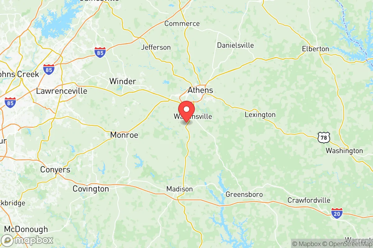
Oconee County, Georgia, offers a compelling strategic position for relocators prioritizing resilience and self-sufficiency, balancing proximity to major economic hubs with a distinctly rural character. Located just east of Athens and roughly 70 miles northeast of Atlanta, the county provides a buffer from the immediate fallout risks of a major metropolitan area while still granting access to its resources. The area’s rolling hills, abundant water sources, and lower population density create a foundation for a lifestyle that is both prepared and pleasant, making it a serious contender for those evaluating long-term security and sustainability.
Geographic position and natural advantages for long-term security
Oconee County sits in the Piedmont region of Georgia, a landscape of gentle hills, hardwood forests, and clay-based soils that offer natural defensibility and resource potential. The county is bisected by the Appalachian foothills, providing elevation advantages over the coastal plains to the south and east, which reduces flood risk and offers better vantage points. The Oconee River runs along the county’s eastern border, and Lake Oconee—a major reservoir created by the Wallace Dam—lies just to the south, providing a reliable surface water source. The county’s position places it outside the direct blast and fallout zones of Atlanta’s Hartsfield-Jackson International Airport and the Port of Savannah, two high-value national infrastructure targets. For a relocator, this means a lower probability of being in a primary or secondary target zone while still being within a two-hour drive of both Atlanta’s medical centers and Savannah’s coastal access. The Georgia National Guard’s facilities in nearby Winder and the USDA’s Southeast Poultry Research Laboratory in Athens add a layer of institutional resilience, though they also represent potential secondary targets.
Risks, exposures, and proximity to fallout-relevant landmarks
While Oconee County avoids the highest-risk zones, it is not without exposure. The county lies within 50 miles of Athens-Clarke County, home to the University of Georgia and its research reactors, including the Georgia Research Alliance’s nuclear engineering facilities. Though these are low-power research reactors, any radiological incident—however unlikely—would place Oconee within a potential fallout plume depending on wind patterns. The Oconee Nuclear Station, located about 30 miles south in Greene County, is a three-unit commercial nuclear plant that represents a more significant risk. A major event there could affect Oconee County, particularly the southern portions near Watkinsville and Bishop. Additionally, the county is within 100 miles of Fort Eisenhower (formerly Fort Gordon) near Augusta, a major Army cyber and signal command center that is a high-value military target. The CSX and Norfolk Southern rail lines that run through the county carry hazardous materials, including chemicals and fuels, creating localized derailment risks. Natural hazards are moderate: the area experiences occasional tornadoes (EF-2 or lower historically), ice storms that can knock out power for days, and periodic droughts that stress shallow wells. Flooding is limited to low-lying areas near the Oconee River and its tributaries, such as Rose Creek and Call Creek.
Practical resilience for a relocator: food, water, energy, and defensibility
For a relocator serious about self-sufficiency, Oconee County offers strong fundamentals. Water availability is a standout advantage: the county sits atop the Piedmont aquifer system, and most rural properties can sustain a private well at depths of 100-300 feet with yields of 5-20 gallons per minute. Surface water from Lake Oconee and the Oconee River is accessible with proper permits, and the county’s average annual rainfall of 50 inches supports rainwater catchment systems. Food production potential is high: the county has over 400 farms, with a strong tradition of poultry, cattle, and row crops like soybeans and corn. The Oconee County Farmers Market in Watkinsville operates year-round, and local producers like Bishop’s Farm and Happy Valley Farm provide direct-to-consumer options. For those wanting to grow their own, the growing season runs from April to October, and the clay-loam soils, while requiring amendment, are workable. Energy resilience is moderate: Georgia Power serves the area with a grid that has seen increasing outages from storms, but solar potential is good (4.5-5.0 peak sun hours per day), and many rural properties have space for ground-mounted arrays. Propane is widely available for backup generation, and wood for heating is abundant from the county’s 60% forest cover. Defensibility is a mixed picture: the county’s rural character means large lots and natural chokepoints on country roads, but the lack of natural barriers like mountains or rivers that are difficult to cross means a determined group could move through the area. The Oconee County Sheriff’s Office has a strong reputation, with a ratio of about 2.5 deputies per 1,000 residents, but response times in the more remote areas near Farmington or North High Shoals can exceed 20 minutes. The county’s Emergency Management Agency runs a robust Community Emergency Response Team (CERT) program, and the Watkinsville Fire Department and Oconee County Fire Rescue provide coverage, though volunteer stations in the eastern part of the county have slower response times. For a relocator, the key is to choose a property with good road access, a reliable well, and defensible sightlines—properties along Mars Hill Road or Experiment Station Road offer a balance of accessibility and seclusion.
The overall strategic picture for Oconee County is one of balanced resilience. It avoids the highest-risk zones of Atlanta and Savannah while maintaining access to their resources, and it offers strong natural advantages in water and food production. The primary risks—proximity to the Oconee Nuclear Station and the University of Georgia’s research reactors—are manageable with situational awareness and a good emergency plan. For a relocator who values a quiet, rural lifestyle with a serious preparedness mindset, Oconee County is a solid choice that doesn’t require the extreme isolation of more remote areas. It’s a place where you can build a life that is both comfortable and ready for whatever comes, without feeling like you’re living in a bunker. The county’s combination of natural resources, community infrastructure, and strategic positioning makes it a strong candidate for anyone looking to balance modern convenience with long-term security.

* Values derived from national, state, county, city and local statistics and may differ in a specific area. Last updated: 2026-09-29T14:51:01.000Z
Narrative content on this page is AI-generated and may contain mistakes. Verify any details that matter before acting on them.
ReloMaps may earn a commission from affiliate links at no extra cost to you.

