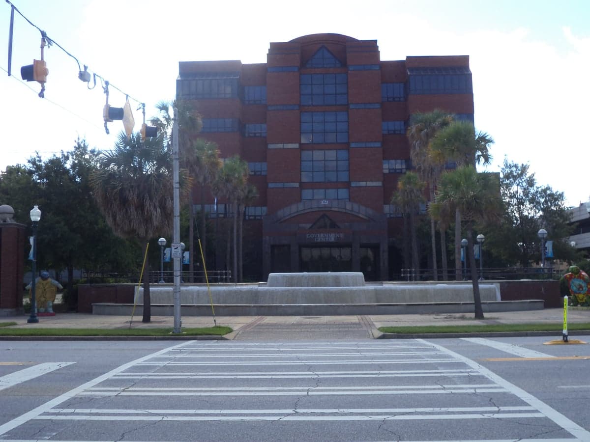
Photo: Wikipedia
Strategic Assessment of Dougherty County
Workable tactical position. Some exposure to population density or targets, but generally defensible in a crisis.
What does the Strategic Assessment tell us?
Our Strategic Assessment grades tactical survivability of an area. Major population centers, military targets, fallout zones, natural disasters, and border exposure all drive risk — lower exposure means a more defensible position in a crisis.
This is heavily inspired by Joel Skousen's Strategic Relocation book. Highly recommended you checkout the book ($)What does this tell us?
Our Strategic Assessment grades tactical survivability of an area. Major population centers, military targets, fallout zones, natural disasters, and border exposure all drive risk — lower exposure means a more defensible position in a crisis.
This is heavily inspired by Joel Skousen's Strategic Relocation book. Highly recommended you checkout the book ($)Strategic Pillars

Key Distances
Strategic Assessment Analysis
Dougherty County, anchored by the city of Albany, presents a mixed strategic picture for the relocation-minded reader focused on resilience and self-sufficiency. Its location in southwest Georgia offers genuine advantages in terms of distance from major coastal and metropolitan targets, but these are tempered by the county's own industrial and logistical significance. For a family or individual weighing disaster readiness, the area's value lies in its agricultural backbone and relative isolation, though it is not without specific exposures that demand careful consideration.
Geographic position and natural advantages for self-sufficiency
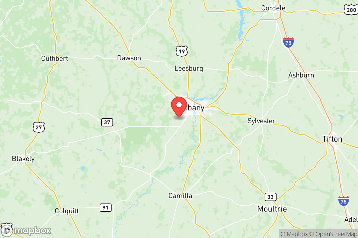
Dougherty County sits roughly 100 miles from the Gulf of Mexico and over 150 miles from the Atlanta metro area, placing it well outside the immediate blast and fallout zones of those high-value targets. The county is part of the Gulf Coastal Plain, a region characterized by flat terrain, abundant surface water, and deep, fertile soils. The Flint River runs through the county's eastern edge, providing a reliable freshwater source that is less prone to the severe droughts affecting parts of the western United States. The area's agricultural capacity is substantial: Dougherty County is a major producer of pecans, peanuts, cotton, and corn, and the surrounding region supports extensive livestock operations. For a relocator focused on food security, this means local supply chains for staples are robust, and the climate supports year-round gardening with a growing season of roughly 240 days. The county's elevation averages around 200 feet above sea level, offering no significant topographic defensibility but also no exposure to landslides or seismic activity. The primary natural risk is flooding along the Flint River and its tributaries, particularly in low-lying areas of Albany and unincorporated communities like Putney and Pretoria. However, the broader region's lack of major fault lines, volcanoes, or hurricane storm surge zones (Albany is far enough inland that hurricane-force winds are rare, though tropical remnants can bring heavy rain) makes it a relatively stable choice from a natural hazard perspective.
Risks, exposures, and proximity to fallout-relevant landmarks
The most significant strategic drawback for Dougherty County is its own industrial and military infrastructure. The Marine Corps Logistics Base (MCLB) Albany, located just east of the city, is a major maintenance and repair facility for tracked and wheeled vehicles, including tanks and armored personnel carriers. While not a nuclear target in the same league as a strategic bomber base, MCLB Albany is a high-value military asset that could draw conventional or limited nuclear strikes in a major conflict. Additionally, the county hosts several industrial facilities, including a large Procter & Gamble paper products plant and a MillerCoors brewery, both of which consume significant energy and resources. The Albany Municipal Airport is also a general aviation hub that could be used for military logistics. For the resilience-minded reader, the presence of these targets means that Dougherty County is not a "zero-risk" location. The county's proximity to other potential targets is also worth noting: it lies about 90 miles from Moody Air Force Base in Valdosta, 120 miles from Robins Air Force Base near Macon, and roughly 140 miles from the Port of Savannah and the sprawling chemical and refinery complexes along the Georgia coast. While these are not immediate neighbors, fallout patterns from a strike on any of these sites could affect Dougherty County depending on wind direction. The county's own industrial base also includes chemical storage and rail lines that carry hazardous materials through Albany and the smaller towns of Dawson and Leesburg. For a relocator, the key takeaway is that Dougherty County is not a remote wilderness; it is a regional hub with assets that could become liabilities in a crisis.
Practical resilience for a relocator: food, water, energy, and defensibility
On the practical side, Dougherty County offers several genuine advantages for a family or individual building a self-sufficient lifestyle. The Flint River and the extensive aquifer system underlying the region provide abundant groundwater, and many rural properties have access to private wells. The county's agricultural base means that local farmers' markets, feed stores, and equipment suppliers are plentiful, and the climate supports a wide range of crops, from vegetables to fruit trees. The area's flat terrain and rural character also make it relatively easy to establish a defensible homestead, with good visibility and limited natural cover for potential threats. However, the county's energy infrastructure is a mixed bag. The primary electricity provider is Georgia Power, which relies on a mix of natural gas, coal, nuclear (from Plant Farley in Alabama, about 70 miles away), and renewables. The grid in southwest Georgia is not as robust as in metro areas, and power outages from thunderstorms and ice storms are common. For a relocator, investing in solar panels, battery storage, and a backup generator is advisable. The county's population density is moderate: Albany itself has about 70,000 residents, while the county's total population is roughly 85,000. This means that while the city offers amenities like hospitals (Phoebe Putney Memorial Hospital is a major regional medical center), grocery stores, and hardware stores, the surrounding rural areas provide space and privacy. The county's law enforcement presence includes the Dougherty County Police Department and the Albany Police Department, but response times in outlying areas can be longer. For defensibility, the lack of significant topographic features means that a relocator must rely on distance, perimeter fencing, and good neighbors rather than natural barriers. The local culture is generally conservative and community-oriented, which can be an asset for building mutual aid networks.
Overall, Dougherty County represents a pragmatic choice for the resilience-focused relocator who understands that no location is perfectly safe. Its agricultural strength, water abundance, and distance from major metropolitan and coastal targets are genuine assets. However, the presence of the Marine Corps logistics base, industrial facilities, and the county's role as a regional hub introduce risks that cannot be ignored. For a family willing to invest in off-grid energy, water storage, and a well-stocked pantry, and who are comfortable living in a rural but not remote setting, Dougherty County offers a solid foundation. The key is to choose a property away from the Flint River floodplain, the rail lines, and the immediate vicinity of MCLB Albany, and to build relationships with the local farming and ranching community. In a crisis, the county's agricultural output and water resources will be invaluable, but its infrastructure and population density mean that a thoughtful, prepared relocator will fare better than one who assumes the area is a completely safe haven.

* Values derived from national, state, county, city and local statistics and may differ in a specific area. Last updated: 2026-07-03T02:20:28.000Z
Narrative content on this page is AI-generated and may contain mistakes. Verify any details that matter before acting on them.
ReloMaps may earn a commission from affiliate links at no extra cost to you.

