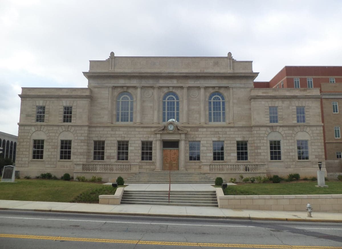
Photo: Wikipedia
Strategic Assessment of Carroll County
Workable tactical position. Some exposure to population density or targets, but generally defensible in a crisis.
What does the Strategic Assessment tell us?
Our Strategic Assessment grades tactical survivability of an area. Major population centers, military targets, fallout zones, natural disasters, and border exposure all drive risk — lower exposure means a more defensible position in a crisis.
This is heavily inspired by Joel Skousen's Strategic Relocation book. Highly recommended you checkout the book ($)What does this tell us?
Our Strategic Assessment grades tactical survivability of an area. Major population centers, military targets, fallout zones, natural disasters, and border exposure all drive risk — lower exposure means a more defensible position in a crisis.
This is heavily inspired by Joel Skousen's Strategic Relocation book. Highly recommended you checkout the book ($)Strategic Pillars

Key Distances
Strategic Assessment Analysis
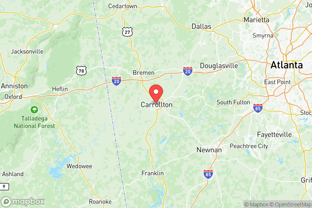
Carroll County, Georgia, offers a compelling strategic position for relocators prioritizing resilience and self-sufficiency, balancing proximity to Atlanta’s economic engine with a distinctly rural character that reduces exposure to major metropolitan risks. The county seat, Carrollton, sits roughly 45 miles west of downtown Atlanta, placing it outside the immediate blast and fallout zones of a major urban target while still within a reasonable drive for work or supply runs. The county’s population of around 125,000 is spread across towns like Villa Rica, Bowdon, and Mount Zion, creating a decentralized settlement pattern that inherently reduces vulnerability to a single-point disruption. This geographic and demographic profile makes Carroll County a strong candidate for those seeking a buffer from urban fragility without complete isolation.
Geographic position and natural advantages for disaster readiness
Carroll County sits on the eastern edge of the Piedmont region, characterized by rolling hills, mixed hardwood forests, and numerous small streams and creeks that feed into the Chattahoochee River watershed. The terrain offers natural defensibility—elevation changes and wooded areas provide cover and reduce line-of-sight vulnerability, while the absence of major floodplains within the county’s interior means most residential areas are safe from catastrophic flooding. The county’s location places it outside the direct path of Gulf Coast hurricanes, though remnants can bring heavy rain and wind. Tornado risk is moderate, typical for inland Georgia, with an average of 1-2 tornado warnings per year; the hilly terrain somewhat disrupts the long, flat paths that produce the most destructive storms. The climate is humid subtropical, with hot summers and mild winters, meaning freeze-related infrastructure failures are rare, and year-round outdoor activity for gardening or construction is feasible. The county’s water supply is robust: the Little Tallapoosa River and the Chattahoochee River both run through or border the area, and Carrollton’s water treatment plant draws from the Chattahoochee, providing a municipal source that could be supplemented by private wells in rural zones. For a relocator, the key natural advantage is the combination of reliable water access, moderate climate, and terrain that supports both agriculture and concealment.
Risks, exposures, and proximity to fallout-relevant landmarks
The primary strategic risk for Carroll County is its proximity to Atlanta, a Tier 1 target for any major conflict scenario. A nuclear detonation at Hartsfield-Jackson Atlanta International Airport or the Centers for Disease Control and Prevention (CDC) headquarters would produce fallout that could reach Carroll County within 2-4 hours under prevailing westerly winds, depending on yield and weather. The county sits roughly 45 miles from the Atlanta metropolitan core, placing it within the moderate-to-light fallout zone for a large ground burst. More immediately, the county contains its own potential secondary targets: the Southwire Company plant in Carrollton, a major copper and cable manufacturer, and the Tanner Medical Center, a regional hospital that could be a secondary target in a prolonged conflict. The county is also within 60 miles of Fort Moore (formerly Fort Benning), a major Army base near Columbus, Georgia, which would be a high-priority target in a conventional war. On the natural hazard side, the county faces moderate earthquake risk—the Brevard Fault Zone runs through northern Georgia, but historical quakes have been minor (below magnitude 4.5). Wildfire risk is low due to the humid climate, though drought years could elevate it. The most realistic day-to-day risk is severe weather: thunderstorms producing straight-line winds and hail, which can knock out power for 24-72 hours several times a year. For a relocator, the calculus is clear: Carroll County is far enough from Atlanta to avoid the worst of a direct strike, but close enough to be affected by fallout and secondary disruptions. The presence of industrial and medical infrastructure within the county itself adds a modest but non-trivial risk profile.
Practical resilience for a relocator: food, water, energy, and defensibility
Carroll County offers strong practical resilience for those willing to invest in self-sufficiency. The county is part of Georgia’s agricultural belt, with active farms producing poultry, cattle, hay, and row crops like corn and soybeans. The Carroll County Farmers Market in Carrollton operates seasonally, and local farms such as Whippoorwill Farm and Bush Hog Farm offer direct-to-consumer meat and produce. For a relocator, the ability to source food locally is excellent: within a 30-minute drive, you can find raw milk from dairies, pasture-raised eggs, and grass-fed beef. The county’s soil is generally loamy and well-drained, suitable for home gardens and small-scale orchards. Water access is a standout advantage: the county has no municipal water restrictions in most rural areas, and well drilling is common, with typical depths of 100-300 feet yielding 10-30 gallons per minute. The Little Tallapoosa River and numerous creeks provide surface water for irrigation or emergency use, though treatment would be required for drinking. Energy resilience is moderate: Georgia Power serves the area with a grid that is generally reliable but vulnerable to ice storms and wind events. Solar potential is good, with an average of 218 sunny days per year, and net metering is available through Georgia Power, though at a less favorable rate than in some states. Propane and heating oil are widely available for backup heating and cooking. Defensibility varies by location: rural properties on dead-end roads with wooded perimeters offer natural security, while subdivisions near Carrollton or Villa Rica are more exposed. The county’s law enforcement presence is adequate but not overwhelming—the Carroll County Sheriff’s Office has about 60 sworn deputies for the unincorporated areas, and response times in remote areas can exceed 20 minutes. For a relocator, the practical picture is one of strong agricultural and water resources, moderate energy options, and defensibility that depends heavily on property choice. The county’s relatively low population density (about 200 people per square mile) means that competition for resources during a crisis would be less intense than in suburban Atlanta.
The overall strategic picture for Carroll County is that of a solid, middle-ground relocation option for the resilience-minded. It avoids the extreme risks of being too close to a major target or too remote to access supplies and community support. The county’s agricultural base, water abundance, and moderate climate provide a foundation for long-term self-sufficiency, while its proximity to Atlanta offers economic opportunity and access to specialized medical care at Tanner Medical Center. The trade-offs are real: the risk of fallout from an Atlanta strike is non-trivial, and the county’s own industrial and medical infrastructure creates secondary vulnerabilities. For a relocator who values a balance of rural security and urban access, with a focus on food and water independence, Carroll County represents a prudent choice. It is not a hardened bunker location, but it is a place where a prepared family can build a resilient life with reasonable effort and investment. The key is to choose a property with well water, garden space, and a defensible layout, and to maintain a 30-day supply of essentials as a baseline. In a world of increasing uncertainty, Carroll County offers a viable middle path.

* Values derived from national, state, county, city and local statistics and may differ in a specific area. Last updated: 2026-10-23T22:04:32.000Z
Narrative content on this page is AI-generated and may contain mistakes. Verify any details that matter before acting on them.
ReloMaps may earn a commission from affiliate links at no extra cost to you.

