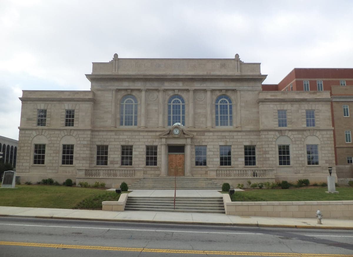
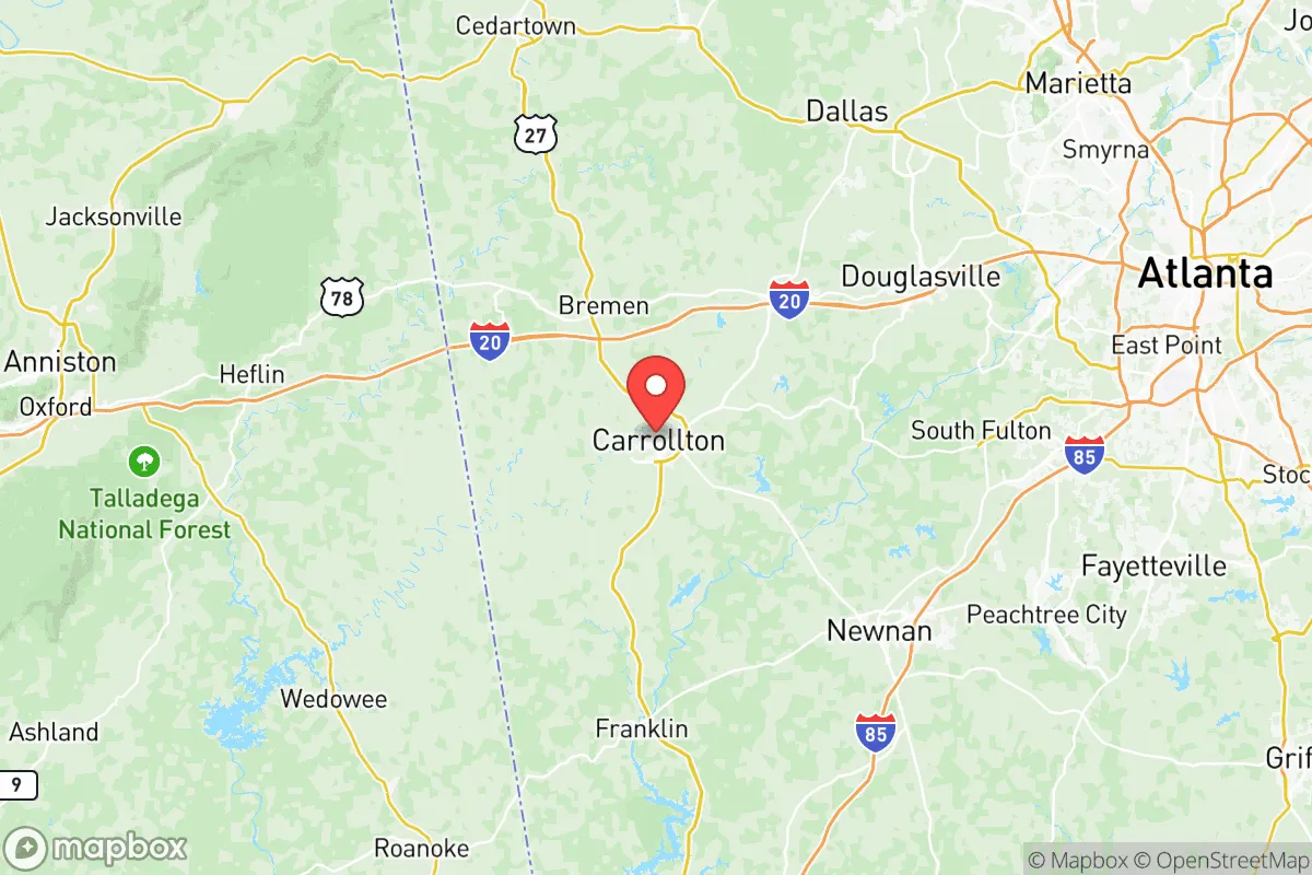
Photo: Wikipedia
Demographics of Carroll County
Affluence Level in Carroll County
A middle-class area roughly in line with national averages across income, home values, education, and employment.
People of Carroll County
Carroll County, Georgia, today is a predominantly White (67.3%) and Black (20.3%) community of 122,187 residents, with a growing Hispanic population (8.3%) and a small but present Asian (0.6%) and Indian (0.3%) presence. The county’s character is rooted in its rural Southern heritage, shaped by agriculture, textile mills, and the steady expansion of the Atlanta metropolitan area. With only 3.9% foreign-born and 22.4% college-educated, it remains a more insular, working-to-middle-class area where family ties and local institutions like the University of West Georgia in Carrollton anchor daily life. Distinctive markers include a strong evangelical Christian presence, a county fair that has run for over a century, and a political culture that leans conservative, with the county voting Republican in every presidential election since 2000.
Settlement & growth (pre-1960)
Before European settlement, the land that is now Carroll County was part of the vast territory of the Creek Nation, specifically the Coweta and Kasihta towns. The Creeks ceded the area in the 1825 Treaty of Indian Springs, a controversial agreement that led to the forced removal of most Native people by 1827. The county was created in 1826 and named for Charles Carroll of Carrollton, the last surviving signer of the Declaration of Independence. The first wave of settlers were overwhelmingly Scots-Irish and English yeoman farmers from Virginia, North Carolina, and upstate South Carolina, drawn by the Georgia Land Lotteries of the 1820s and 1830s, which distributed former Creek land in 202.5-acre lots. These families settled across the county, founding the towns of Carrollton (the county seat, 1829), Villa Rica (1830s, originally a gold-mining camp), and Bowdon (1830s, a trading post).
Agriculture—primarily cotton, corn, and livestock—dominated the economy through the antebellum period, supported by enslaved African Americans who made up roughly 30% of the population by 1860. After the Civil War and emancipation, many freed Black families remained as sharecroppers and tenant farmers, forming rural communities like Roopville and Whitesburg. The post-Reconstruction era saw the arrival of the railroad in the 1880s, which connected Carrollton and Villa Rica to Atlanta and spurred a shift from subsistence farming to commercial agriculture and timber. The early 20th century brought textile mills, most notably the Mandeville Mills in Carrollton and the Villa Rica Cotton Mill, which drew rural White families off the land and into mill villages. The Great Depression hit hard, but the New Deal’s Rural Electrification Administration brought electricity to much of the county by the 1940s.
World War II and the postwar boom accelerated outmigration of young people to Atlanta and other cities, but the county’s population held steady at around 36,000 through the 1950s. The 1950s also saw the founding of West Georgia College (now the University of West Georgia) in Carrollton, which began as a junior college and would later become a major demographic driver. The county remained overwhelmingly rural and White (over 85% White in 1960), with Black residents concentrated in segregated neighborhoods in Carrollton and Villa Rica and in unincorporated communities like Mount Zion.
Modern era (post-1965)
The 1965 Hart-Cellar Act had a muted direct effect on Carroll County, as the foreign-born population remains low at 3.9%. However, the act’s long-term impact on the broader Atlanta metro area indirectly reshaped the county. The most significant demographic shift since 1965 has been domestic: the suburbanization of the Atlanta region. Beginning in the 1970s and accelerating through the 1990s, White and Black families moved outward from Atlanta and its inner suburbs into Carroll County, drawn by cheaper land, lower taxes, and a perceived safer, slower-paced lifestyle. This growth concentrated along the I-20 corridor, particularly in Villa Rica (which grew from 2,500 in 1980 to over 16,000 by 2020) and the western edge of Carrollton. The county’s population more than doubled between 1980 and 2020, from 56,000 to 119,000.
The Black population share has grown from roughly 15% in 1970 to 20.3% today, driven both by natural increase and by Black families moving from Atlanta’s urban core and from other parts of the South. This growth is most visible in Carrollton, where historically Black neighborhoods like the Northside have expanded, and in Villa Rica, where new subdivisions have attracted a mix of Black and White homebuyers. The Hispanic population, now 8.3%, began growing in the 1990s, initially as Mexican and Central American immigrants came to work in poultry processing plants in nearby Douglasville and in construction and landscaping across the county. Today, Hispanic residents are concentrated in Carrollton (where they make up about 12% of the city’s population) and in Villa Rica, with a smaller presence in Bowdon and Temple. The Asian (0.6%) and Indian (0.3%) populations are very small and largely tied to the University of West Georgia, with faculty and graduate students living in Carrollton’s college-adjacent neighborhoods.
The 2008 recession slowed growth temporarily, but the 2010s saw a resurgence, driven by the expansion of the University of West Georgia (now over 13,000 students) and the continued eastward push of Atlanta’s exurbs. New subdivisions have sprouted along Highway 27 and Highway 61, particularly around Franklin and Roopville, attracting families seeking larger lots and lower home prices than in Cobb or Douglas counties. The county’s college-educated share (22.4%) remains below the national average (33%), reflecting its working-class character, but has risen from 12% in 2000 as professionals have moved in.
The future
Carroll County is becoming slightly more diverse, but the pace is slow. The Hispanic share is projected to reach 10-12% by 2035, driven by both immigration and higher birth rates, while the Black share is likely to stabilize around 20-22% as the county’s overall growth moderates. The White share, currently 67.3%, will continue to decline gradually, but the county will remain majority White for the foreseeable future. The Asian and Indian populations will likely grow modestly, tied to the university and to the expansion of health care (Tanner Health System in Carrollton is a major employer), but will remain below 2% combined.
New residential development is concentrating in the eastern half of the county, closer to Atlanta. Villa Rica is expected to continue its rapid growth, potentially surpassing Carrollton as the county’s largest city within 15 years. The western towns—Bowdon, Mount Zion, and Roopville—will grow more slowly, retaining their rural character. The county’s cultural identity is evolving from a purely rural Southern one to a more exurban, commuter-oriented one, but the conservative political lean and the importance of church and family life remain strong. The University of West Georgia injects a liberal-leaning, younger element into Carrollton, creating a mild cultural tension between the college town and the surrounding county.
For someone moving in now, Carroll County offers a relatively affordable, safe, and family-oriented environment within commuting distance of Atlanta’s job market. The population is becoming more diverse but at a pace that feels gradual rather than disruptive. The key trade-off is between the convenience of exurban life (new subdivisions, big-box retail, easy highway access) and the preservation of the county’s historic small-town character, which is most intact in Bowdon and the rural western communities. The next decade will likely see continued growth along the I-20 corridor, with the county’s identity increasingly shaped by the tension between its agricultural past and its suburban future.

* Values derived from national, state, county, city and local statistics and may differ in a specific area. Last updated: 2026-10-23T22:04:32.000Z
Narrative content on this page is AI-generated and may contain mistakes. Verify any details that matter before acting on them.
ReloMaps may earn a commission from affiliate links at no extra cost to you.

