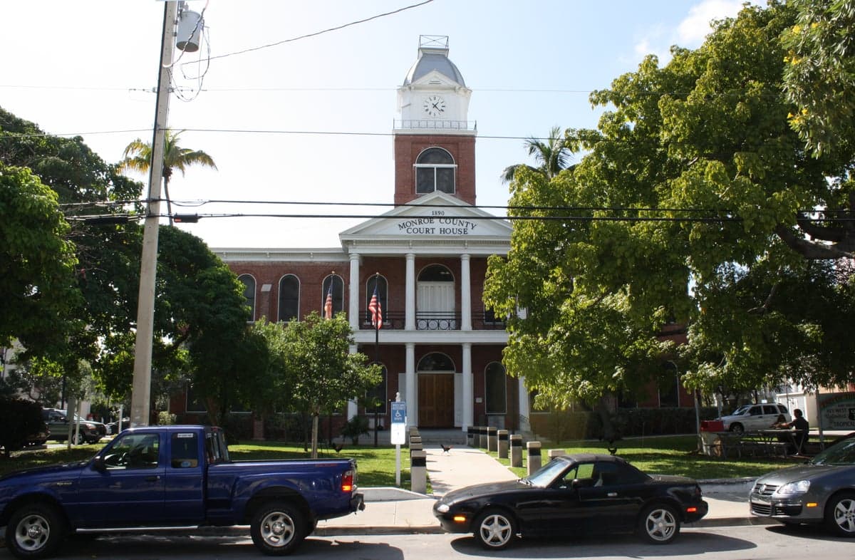
Photo: Wikipedia
Strategic Assessment of Monroe County
Workable tactical position. Some exposure to population density or targets, but generally defensible in a crisis.
What does the Strategic Assessment tell us?
Our Strategic Assessment grades tactical survivability of an area. Major population centers, military targets, fallout zones, natural disasters, and border exposure all drive risk — lower exposure means a more defensible position in a crisis.
This is heavily inspired by Joel Skousen's Strategic Relocation book. Highly recommended you checkout the book ($)What does this tell us?
Our Strategic Assessment grades tactical survivability of an area. Major population centers, military targets, fallout zones, natural disasters, and border exposure all drive risk — lower exposure means a more defensible position in a crisis.
This is heavily inspired by Joel Skousen's Strategic Relocation book. Highly recommended you checkout the book ($)Strategic Pillars

Key Distances
Strategic Assessment Analysis
Monroe County, Florida, presents a uniquely complex strategic picture for relocation-minded readers prioritizing resilience and self-sufficiency. Stretching from the southern tip of mainland Florida through the Florida Keys to Key West, this 120-mile-long archipelago offers genuine geographic isolation from many mainland risks, but introduces its own set of vulnerabilities tied to extreme weather, limited supply chains, and a single evacuation route. For a conservative-leaning audience weighing disaster readiness, the county’s position as a maritime frontier—far from major industrial targets but exposed to Atlantic hurricanes—demands a sober, trade-off-aware assessment.
Geographic isolation and natural defensive advantages of the Florida Keys
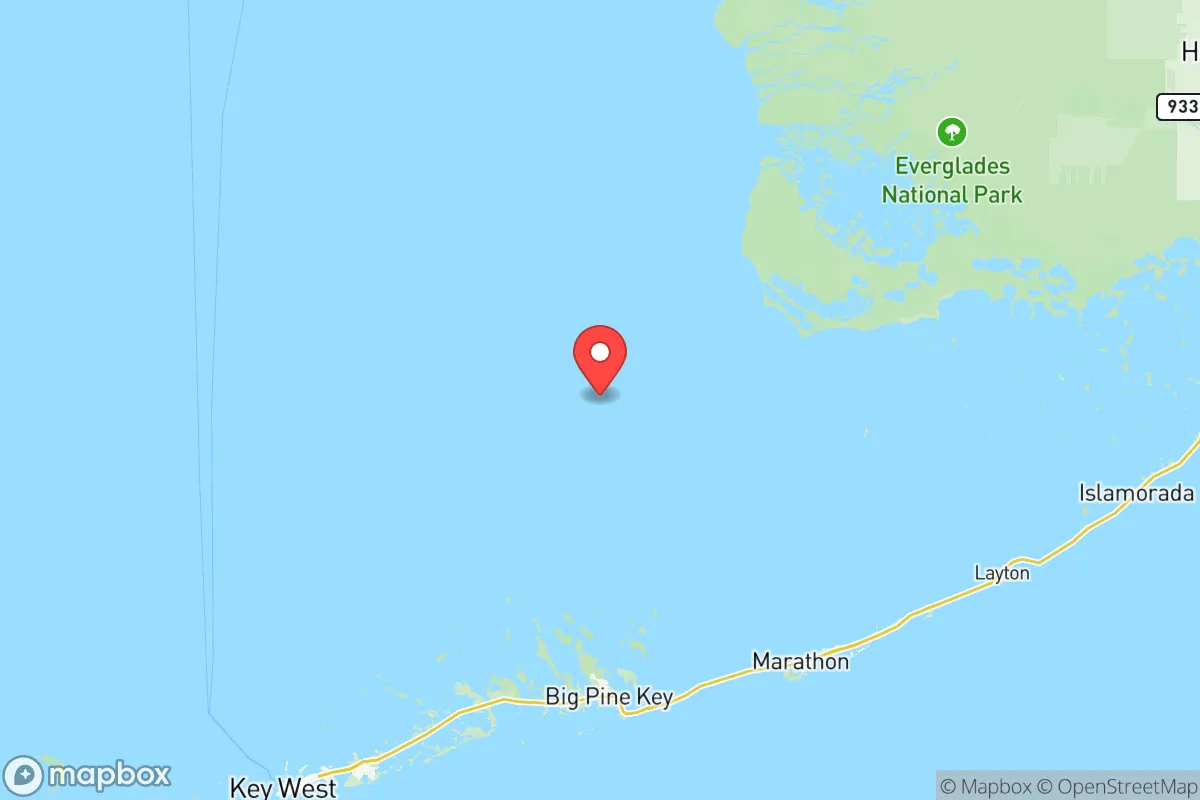
Monroe County’s primary strategic asset is its physical separation from the continental United States. The Florida Keys are a chain of coral islands connected by the Overseas Highway (U.S. 1), with the nearest mainland city being Florida City at the southern edge of Miami-Dade County. This isolation means the Keys are far removed from the fallout-relevant landmarks that concern many relocators: there are no major military bases, no refineries, no nuclear power plants, and no major ports within the county itself. The closest nuclear facility is the Turkey Point Nuclear Generating Station in Homestead, roughly 30 miles northeast of Key Largo—a distance that, while not negligible, places the Keys outside the most severe fallout zones in a worst-case scenario. The county’s southernmost point, Key West, sits about 150 miles from Cuba and over 400 miles from Tampa, placing it well away from the Gulf Coast’s refinery corridor or the population density of South Florida. For someone seeking to avoid proximity to high-value targets like Miami or Fort Lauderdale, the Keys offer a genuine buffer—though that buffer comes with the trade-off of being surrounded by water on all sides.
Natural and man-made risk exposures: hurricanes, sea-level rise, and the single road problem
The same geography that provides isolation also creates acute exposure to natural hazards. Monroe County is ground zero for hurricane risk in the United States: the entire archipelago lies in a zone that has experienced direct hits from major storms like Hurricane Irma (2017) and Hurricane Wilma (2005). Storm surge can inundate large portions of the low-lying islands, with average elevations ranging from 3 to 6 feet above sea level. The Overseas Highway, the only road connecting the Keys to the mainland, is itself vulnerable to storm damage and flooding—a single point of failure that can cut off the entire county for days or weeks. Islamorada, Marathon, and Key Largo all face this identical vulnerability: no secondary evacuation route exists. Sea-level rise is a long-term concern, with the National Oceanic and Atmospheric Administration projecting that parts of the Keys could see chronic tidal flooding by 2040. For a relocator thinking in decades, this is not alarmist speculation but a measurable risk that affects property values, insurance availability, and long-term habitability. Man-made risks are comparatively low—no refineries, no chemical plants, no major rail lines—but the county’s reliance on a single bridge-and-causeway system means that any disruption to that corridor (whether from storm, accident, or civil unrest) effectively isolates the entire population of roughly 82,000 residents.
Practical resilience for daily life: food, water, energy, and defensibility in the Keys
When assessing day-to-day self-sufficiency, Monroe County presents a mixed picture. Food security is the weakest link: the Keys produce virtually no staple crops or livestock. Nearly all food is trucked in via the Overseas Highway from distribution centers in Miami-Dade County. Local fishing provides some protein—the waters around Key West and the backcountry are rich in snapper, grouper, and lobster—but this requires skill, equipment, and access to a boat. For a family relying on stored supplies, a minimum of 30 days of non-perishable food is a reasonable baseline given the frequency of storm-related supply disruptions. Water is another critical concern: the Florida Keys Aqueduct Authority pipes fresh water from the mainland via a 130-mile-long pipeline that runs parallel to the Overseas Highway. This pipeline is vulnerable to storm damage and saltwater intrusion. Most residents rely on this municipal supply; private wells are rare due to the saltwater lens that underlies the islands. Rainwater catchment is possible but not widespread. Energy comes from Florida Keys Electric Cooperative, which draws power from the mainland grid via transmission lines that are also vulnerable to storm damage. Solar adoption is growing but remains limited; battery backup is essential for anyone wanting to maintain refrigeration or communications during outages. Defensibility is a double-edged sword: the single road makes the Keys easy to control or block, which could be an advantage for a prepared community but a liability if evacuation becomes necessary. The population is spread across dozens of islands, with many homes accessible only by boat—a feature that could deter casual intruders but also complicates mutual aid. For a relocator with a boat and a plan, the Keys offer a level of natural chokepoint defense that few mainland locations can match.
The overall strategic picture for Monroe County is one of high reward paired with high risk. The isolation from mainland fallout targets, the absence of heavy industry, and the maritime lifestyle appeal to those who value distance from urban chaos and industrial vulnerability. But that isolation is purchased at the cost of extreme weather exposure, a fragile supply chain, and a single evacuation artery. For a single individual or family willing to invest in robust hurricane preparedness—reinforced structures, substantial food and water stores, solar power with battery backup, and a seaworthy boat—the Keys can function as a resilient outpost. For those unwilling to accept the annual hurricane gamble or the logistical fragility of island life, the mainland interior of Florida offers more balanced options. Monroe County is not a beginner’s relocation choice; it is a strategic niche for the prepared, the resourceful, and the genuinely committed to maritime self-sufficiency.

* Values derived from national, state, county, city and local statistics and may differ in a specific area. Last updated: 2026-06-13T07:11:33.000Z
Narrative content on this page is AI-generated and may contain mistakes. Verify any details that matter before acting on them.
ReloMaps may earn a commission from affiliate links at no extra cost to you.

