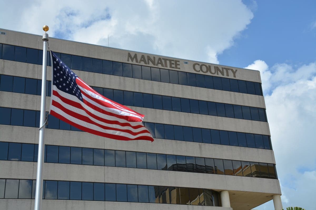
Photo: Wikipedia
Strategic Assessment of Manatee County
Meaningful friction. Expect exposure to either population pressure, blast zones, or natural disaster risk. Consider buying a retreat property.
What does the Strategic Assessment tell us?
Our Strategic Assessment grades tactical survivability of an area. Major population centers, military targets, fallout zones, natural disasters, and border exposure all drive risk — lower exposure means a more defensible position in a crisis.
This is heavily inspired by Joel Skousen's Strategic Relocation book. Highly recommended you checkout the book ($)What does this tell us?
Our Strategic Assessment grades tactical survivability of an area. Major population centers, military targets, fallout zones, natural disasters, and border exposure all drive risk — lower exposure means a more defensible position in a crisis.
This is heavily inspired by Joel Skousen's Strategic Relocation book. Highly recommended you checkout the book ($)Strategic Pillars

Key Distances
Strategic Assessment Analysis
Manatee County, Florida, offers a strategic balance of coastal access and inland buffer that makes it a serious contender for relocation-minded individuals and families weighing resilience alongside quality of life. The county’s position on Florida’s Gulf Coast, anchored by the cities of Bradenton and Palmetto, provides a diversified economic base and a geographic profile that is neither too remote nor dangerously exposed. For a reader prioritizing disaster readiness and self-sufficiency, Manatee County presents a workable middle ground—close enough to major infrastructure to be practical, yet far enough from the densest urban and industrial corridors to avoid the worst of a fallout scenario.
Geographic position and natural advantages for long-term stability
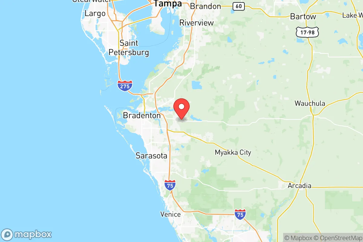
Manatee County sits roughly midway between Tampa Bay to the north and Sarasota to the south, a location that gives residents access to two metropolitan economies without living inside either. The county’s eastern half transitions into rural ranchland and citrus groves, while the western edge is defined by the Gulf of Mexico and the barrier islands of Anna Maria and Longboat Key. That east-west gradient matters for resilience: the interior offers agricultural land, lower population density, and multiple evacuation routes, while the coast provides economic activity and recreation. The Manatee River, which cuts through Bradenton and Palmetto, is a defining feature—it offers water access but also creates a natural chokepoint that residents should understand when planning movement during a disaster.
The county’s elevation is modest, generally ranging from sea level to about 50 feet, with the highest points in the northeastern section near the Parrish and Duette areas. That is not mountainous terrain by any measure, but it is enough to provide some flood refuge in a region where storm surge is the primary coastal threat. The interior’s sandy, well-draining soils support active agriculture—primarily cattle ranching and row crops—which is a quiet advantage for anyone thinking about local food security. Unlike densely developed coastal counties to the south, Manatee still has meaningful undeveloped acreage, which keeps options open for a relocator seeking a small homestead or a buffer property.
Risk exposure and proximity to fallout-relevant landmarks
No Florida county is immune to hurricanes, and Manatee is no exception. The county has taken direct hits from major storms, including Hurricane Irma in 2017 and Hurricane Ian in 2022, both of which caused widespread power outages and tree damage across Bradenton and the interior. Storm surge is the most serious coastal risk, particularly for properties on Anna Maria Island, Longboat Key, and the low-lying communities along the Manatee River. The county’s evacuation zone map is well-published, and anyone relocating should verify their address against it before committing to a purchase. Flood insurance is effectively mandatory in most of the western half of the county, and the cost of that coverage should be factored into any budget.
From a man-made risk perspective, Manatee County is comparatively clean. The nearest major military installation is MacDill Air Force Base in Tampa, roughly 45 miles north, which is a strategic asset but not a primary target in a conflict scenario. The Port of Tampa, one of Florida’s busiest deep-water ports, handles significant fuel and fertilizer shipments and sits about 50 miles away—close enough to be aware of, but far enough that a localized incident would not directly threaten Manatee. The county itself has no nuclear power plants, no major refineries, and no large-scale chemical manufacturing. The closest nuclear facility is the Duke Energy Crystal River plant in Citrus County, roughly 70 miles north, which has been permanently shut down since 2013 and is in decommissioning. For a reader concerned about fallout proximity, Manatee County’s lack of high-value industrial targets is a genuine advantage.
What Manatee does have is a significant transportation corridor. Interstate 75 runs north-south through the county, and Interstate 275 connects to Tampa. These highways are evacuation lifelines, but they are also potential chokepoints during a mass exodus. The Sunshine Skyway Bridge, which carries I-275 across Tampa Bay, is a critical link that could be compromised in a major event, effectively cutting off the quickest route north. Residents should know alternative routes—US 41 and US 301 both run parallel to I-75 and offer slower but viable alternatives.
Practical resilience for a relocator: food, water, energy, and defensibility
Manatee County’s practical resilience profile is strong for a coastal Florida county, particularly in the interior. The agricultural sector is active and visible—the county is a leading producer of beef cattle in Florida, and the Duette area in the northeast is home to working ranches that have operated for generations. For a relocator interested in food self-sufficiency, the county’s zoning allows for small-scale livestock and crop production in most unincorporated areas, and the local extension office through the University of Florida offers free guidance on everything from citrus cultivation to rainwater harvesting. Farmers markets in Bradenton, Palmetto, and Lakewood Ranch provide direct access to locally grown produce, which reduces reliance on long supply chains.
Water is a more nuanced story. The county draws its municipal supply from the Floridan Aquifer, which is abundant but not infinite. The Manatee County Utilities system serves most of the urbanized area, while rural residents commonly rely on private wells. Well depth in the interior typically ranges from 100 to 300 feet, and water quality is generally good, though some areas have naturally occurring iron and sulfur that require filtration. For a serious prepper, a private well with a hand-pump backup is a realistic and affordable option in the eastern half of the county. Rainwater collection is legal and encouraged, and the county offers rebates for cistern installation.
Energy resilience is improving but not exceptional. Florida Power & Light (FPL) serves most of Manatee County and has invested heavily in grid hardening, including undergrounding lines and installing smart switches that automatically reroute power around damaged sections. Still, the county experienced multi-day outages during both Irma and Ian, and residents in the interior were often the last to be restored. Solar is a viable option—the county averages over 260 sunny days per year—and net metering is available, though FPL’s interconnection process can be slow. A generator, either portable or whole-home, is a near-necessity for anyone serious about staying put during a prolonged outage.
Defensibility is where Manatee’s interior shines. The eastern half of the county, particularly around Parrish, Duette, and Myakka City, offers properties with significant acreage, limited road access, and a rural culture that values self-reliance. The Myakka River and the Duette Preserve provide natural buffers that limit through-traffic. The county’s gun culture is moderate—Florida is a shall-issue state for concealed carry, and open carry is restricted, but rural residents are generally armed and capable. The sheriff’s office has a strong presence in the rural areas, and response times in the eastern communities are longer than in Bradenton but still reasonable for a rural county.
The overall strategic picture for Manatee County is one of balanced, moderate resilience. It lacks the extreme remoteness of a place like the Florida Panhandle’s interior, but it also avoids the concentration of targets and population that makes the Miami-Fort Lauderdale corridor or the Tampa Bay core riskier. The county’s real strengths are its agricultural base, its lack of high-value industrial targets, and its interior land availability—all of which support a self-sufficient lifestyle. Its weaknesses are hurricane exposure, a modest elevation profile, and the inherent vulnerability of a peninsula. For a relocator who chooses the eastern half of the county, secures a well and a generator, and builds a network with local ranchers and farmers, Manatee County offers a defensible, sustainable, and genuinely livable base of operations.

* Values derived from national, state, county, city and local statistics and may differ in a specific area. Last updated: 2026-10-19T10:11:26.000Z
Narrative content on this page is AI-generated and may contain mistakes. Verify any details that matter before acting on them.
ReloMaps may earn a commission from affiliate links at no extra cost to you.

