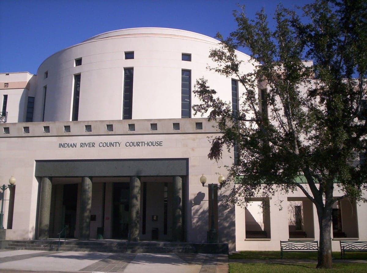
Photo: Wikipedia
Strategic Assessment of Indian River County
Meaningful friction. Expect exposure to either population pressure, blast zones, or natural disaster risk. Consider buying a retreat property.
What does the Strategic Assessment tell us?
Our Strategic Assessment grades tactical survivability of an area. Major population centers, military targets, fallout zones, natural disasters, and border exposure all drive risk — lower exposure means a more defensible position in a crisis.
This is heavily inspired by Joel Skousen's Strategic Relocation book. Highly recommended you checkout the book ($)What does this tell us?
Our Strategic Assessment grades tactical survivability of an area. Major population centers, military targets, fallout zones, natural disasters, and border exposure all drive risk — lower exposure means a more defensible position in a crisis.
This is heavily inspired by Joel Skousen's Strategic Relocation book. Highly recommended you checkout the book ($)Strategic Pillars

Key Distances
Strategic Assessment Analysis
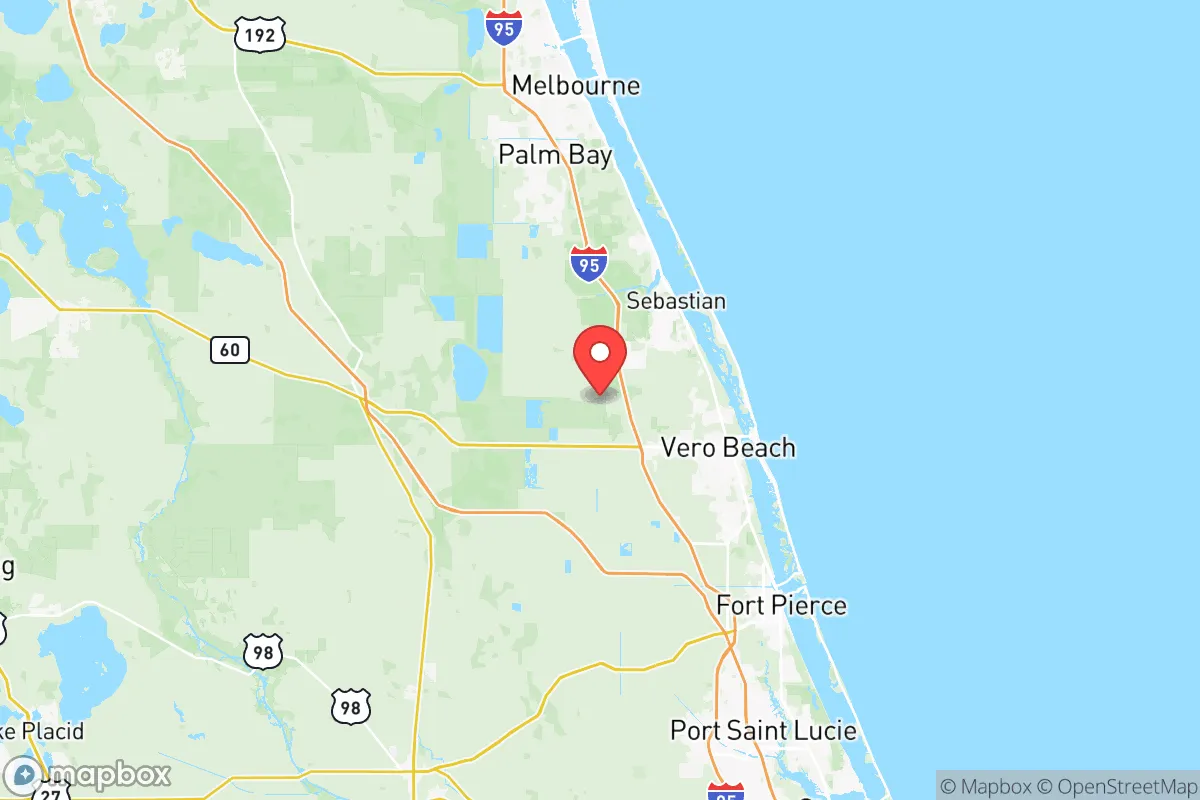
Indian River County, Florida, occupies a strategic middle ground on the Atlantic coast, roughly 90 miles south of Cape Canaveral and 140 miles north of Palm Beach, offering a blend of coastal access and inland buffer that appeals to relocators prioritizing resilience. Its location between the St. Sebastian River and the Indian River Lagoon provides natural boundaries, while the county seat of Vero Beach anchors a population of roughly 165,000, with smaller communities like Sebastian, Fellsmere, and the unincorporated areas of Gifford and Wabasso offering varied settlement options. For a reader weighing disaster readiness and self-sufficiency, Indian River County presents a mixed picture: strong natural advantages in water and food access, but notable exposure to hurricane risks and proximity to certain man-made vulnerabilities that require careful consideration.
Geographic position and natural advantages for self-sufficiency
Indian River County’s geography is defined by its position on the Atlantic Coastal Ridge, a sandy, elevated spine that runs parallel to the coast, with most of the county’s population sitting at elevations between 15 and 30 feet above sea level. This ridge provides natural drainage and reduces flood risk compared to low-lying areas further south or west, though the county’s eastern edge along the Indian River Lagoon and the Atlantic Ocean remains vulnerable to storm surge. The county’s interior, particularly around Fellsmere and the vast St. Johns River Marsh to the west, offers significant undeveloped land with sandy soils suitable for small-scale agriculture, a key asset for food self-sufficiency. The Indian River Lagoon itself is a rich estuarine system, providing fishing and crabbing opportunities, while the county’s numerous freshwater canals and retention ponds offer supplementary water sources. The proximity to the Atlantic means consistent sea breezes moderate summer heat, reducing reliance on air conditioning for survival during power outages, though the humidity remains a factor. For a relocator, the county’s position between the urbanized Treasure Coast to the south and the Space Coast to the north means it avoids the density of Miami or Orlando while still offering access to major highways like I-95 and the Florida Turnpike, which run through the county’s western edge.
Risks, exposures, and proximity to fallout-relevant landmarks
The primary natural risk in Indian River County is hurricanes, with the area experiencing a direct hit roughly once every 15-20 years, most recently from Hurricane Nicole in 2022 and Hurricane Matthew in 2016, both of which caused widespread power outages and coastal erosion. Storm surge from the Atlantic can push up the Indian River Lagoon, threatening low-lying neighborhoods in Vero Beach’s South Beach area and along the barrier island communities like Orchid and Wabasso Beach. Inland flooding is less severe due to the ridge, but heavy rainfall from tropical systems can overwhelm drainage in Fellsmere and the western agricultural zones. Man-made risks are more nuanced: the county hosts the Vero Beach Regional Airport, which sees general aviation and occasional military training flights from Patrick Space Force Base (about 60 miles north), but no major industrial targets like refineries or chemical plants. The nearest significant fallout-relevant landmarks are the Kennedy Space Center at Cape Canaveral (90 miles north) and the St. Lucie Nuclear Power Plant (about 30 miles south in St. Lucie County), both of which are potential targets in a conflict scenario. The county’s distance from these sites—roughly 30 miles from the nuclear plant and 90 miles from the space center—provides a buffer, but prevailing winds from the east could carry fallout toward the coast in a worst-case event. The I-95 corridor, which runs through the county, is a potential evacuation route but also a chokepoint during emergencies, with traffic jams common during hurricane evacuations.
Practical resilience for a relocator: food, water, energy, and defensibility
Indian River County offers strong practical resilience for a relocator focused on self-sufficiency, particularly in food and water access. The county’s agricultural sector is robust, with citrus groves, row crops, and cattle ranches in the western areas around Fellsmere and the St. Johns River Marsh, providing local food sources that reduce reliance on supply chains. The Indian River Lagoon and Atlantic Ocean offer year-round fishing, with species like redfish, snook, and flounder available, though saltwater fishing requires a license and knowledge of tides. Freshwater sources include the St. Sebastian River and numerous canals, but well water is common in rural areas, with the Floridan Aquifer providing reliable groundwater at depths of 200-400 feet. Energy resilience is mixed: Florida Power & Light (FPL) serves the county, and power outages from hurricanes are frequent, lasting days to weeks in severe events. Solar panels are viable given the high solar insolation (about 5.5 peak sun hours per day), but net metering policies have become less favorable in Florida since 2022, making battery storage a better investment. Defensibility is a key advantage: the county’s layout, with the Atlantic to the east, the St. Johns River Marsh to the west, and the Indian River Lagoon cutting through the center, creates natural barriers that limit approach routes. The county’s low population density (about 250 people per square mile) and spread-out development mean that rural properties in areas like the Fellsmere Preserve or the Osceola County line offer privacy and defensible space. However, the county’s reliance on I-95 for supply lines and the lack of a major port (the nearest deepwater port is Port Canaveral, 70 miles north) mean that long-term isolation could strain access to bulk goods.
Overall, Indian River County presents a balanced strategic picture for a relocator prioritizing resilience. Its geographic advantages—elevated ridge, abundant water, agricultural land, and natural barriers—make it a strong candidate for self-sufficiency, particularly for those willing to invest in well water, solar power, and food storage. The hurricane risk is real but manageable with proper construction and planning, and the distance from major fallout-relevant landmarks like the St. Lucie Nuclear Power Plant and Kennedy Space Center provides a reasonable buffer. The county’s conservative-leaning culture, with a strong emphasis on property rights and limited government, aligns with the values of many relocators seeking autonomy. For a family or individual serious about disaster readiness, Indian River County offers a viable base of operations, provided they secure a property on the ridge, away from the coast and flood zones, and build redundancy into their water and energy systems. The key trade-off is between the county’s natural resilience and its exposure to Atlantic hurricanes, a risk that can be mitigated but not eliminated. For those willing to accept that, Indian River County is a solid choice in Florida’s strategic landscape.

* Values derived from national, state, county, city and local statistics and may differ in a specific area. Last updated: 2026-06-23T17:48:37.000Z
Narrative content on this page is AI-generated and may contain mistakes. Verify any details that matter before acting on them.
ReloMaps may earn a commission from affiliate links at no extra cost to you.

