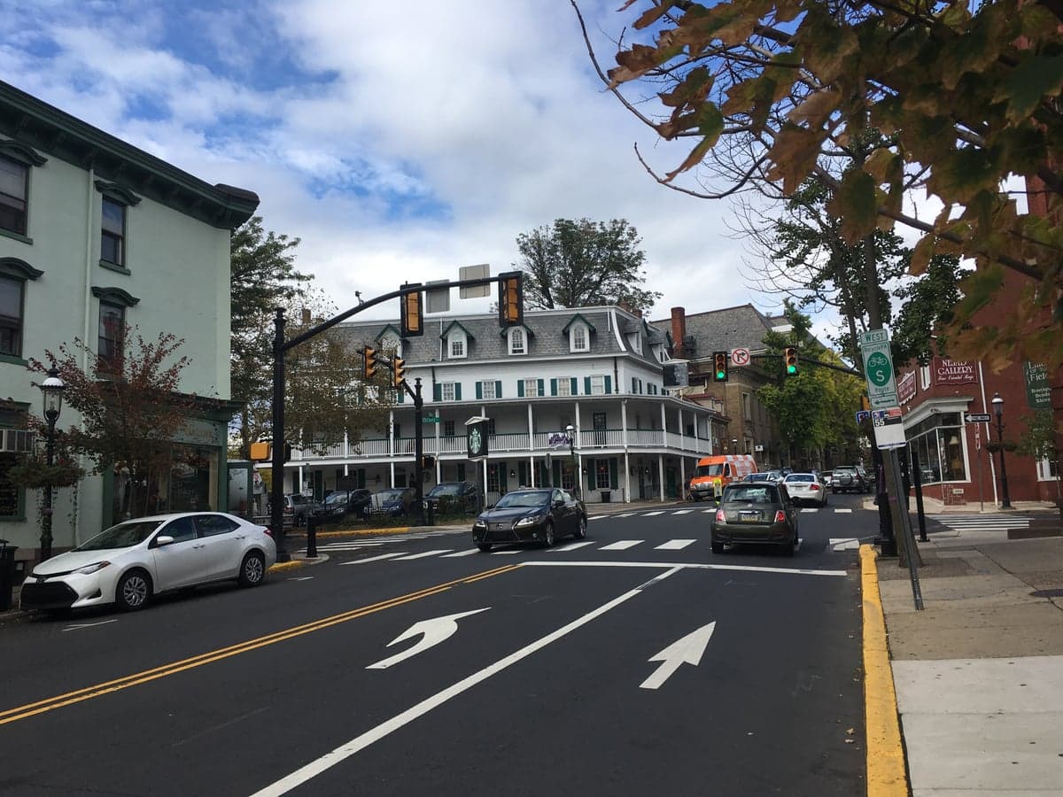
Photo: Wikipedia
Strategic Assessment of Doylestown, PA
Multiple tactical vulnerabilities. Population density, target proximity, or disaster risk are likely compounding. A retreat property and exit planning is required.
What does the Strategic Assessment tell us?
Our Strategic Assessment grades tactical survivability of an area. Major population centers, military targets, fallout zones, natural disasters, and border exposure all drive risk — lower exposure means a more defensible position in a crisis.
This is heavily inspired by Joel Skousen's Strategic Relocation book. Highly recommended you checkout the book ($)What does this tell us?
Our Strategic Assessment grades tactical survivability of an area. Major population centers, military targets, fallout zones, natural disasters, and border exposure all drive risk — lower exposure means a more defensible position in a crisis.
This is heavily inspired by Joel Skousen's Strategic Relocation book. Highly recommended you checkout the book ($)Strategic Pillars

Key Distances
Regional Safe Places
Below is our recommended "safe zones" in Pennsylvania and the surrounding area based on our strategic heuristics. For most people, it's unrealistic to live in a “safe zone” full-time due to work, family or other personal reasons. They tend to be more rural. However, many of these areas are perfect for second homes and retreat properties that double as a vacation home or even a short-term rental.




Important Note: For informational purposes only. This does not mean nothing bad ever happens in the green zones. Please use common sense. This is based on public data and modeled with AI. We tried to take a conservative approach but mistakes happen. We update this regularly as new information becomes available.
Solar Generator Recommendations
Backup power matters more here than in safer locations. We've picked three solar generators across budgets and capacity tiers — start with the budget unit if you only need a few essentials, or step up if you want to run a fridge and HVAC for days at a time.

Jackery Portable Power Station Explorer 300
Budget OptionPower on the Go: Weighing only 11 lbs, it's convenient to set up and store with book-sized foldable solar panels

BLUETTI Portable Power Station AC180
Designed for both indoor and outdoor scenarios, AC180 is highly capable as it has a robost capacity and continuous output power.

EF ECOFLOW DELTA Pro Ultra Power Station
Upgraded PickEcoFlow DELTA Pro Ultra is a whole-home energy system designed to grow with your family. Integrated with the Smart Home Panel 2, it scales to meet your evolving energy needs — keeping your home powered, intelligent, and secure through every stage of life.
We earn a commission, at no additional cost to you.
Strategic Assessment Analysis
Doylestown, Pennsylvania, presents a mixed strategic picture for the relocation-minded reader prioritizing resilience and self-sufficiency. Its primary advantage is its position within the Philadelphia metropolitan area’s outer ring, offering a buffer from the immediate chaos of a major urban center while still being close enough to be affected by its vulnerabilities. The borough itself is a small, walkable community of roughly 8,300 people, but the surrounding Bucks County township provides a more rural buffer that can support a degree of self-reliance. The key question for a relocator is whether the area’s geographic and infrastructural strengths outweigh its proximity to high-value targets and population-dense corridors.
Geographic position and natural advantages for long-term stability
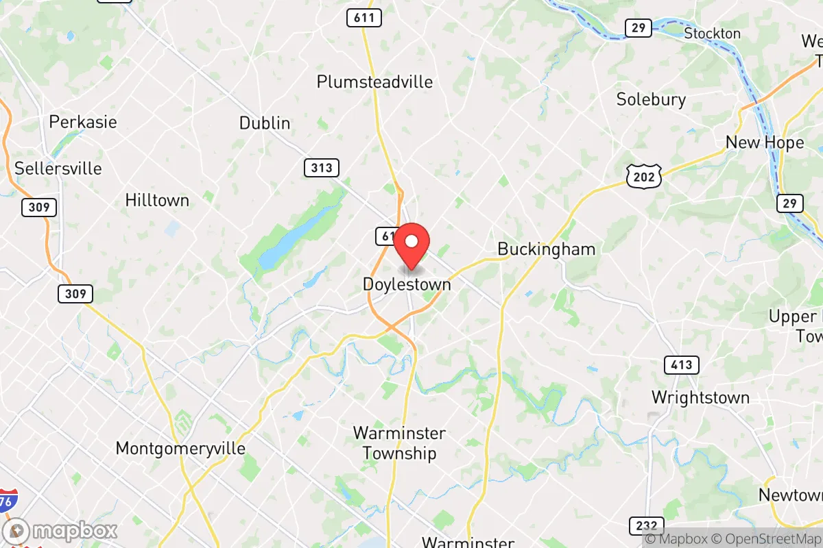
Doylestown sits in the Piedmont region of southeastern Pennsylvania, roughly 30 miles north of Philadelphia and 70 miles southwest of New York City. This location places it in a zone of moderate elevation, away from the immediate floodplains of the Delaware River, though the Neshaminy Creek and its tributaries run through the area and can cause localized flooding during heavy rain events. The surrounding landscape is a mix of rolling hills, farmland, and deciduous forest, which provides natural cover, water filtration, and a moderate climate with four distinct seasons. The area is not prone to earthquakes, hurricanes, or wildfires in any meaningful way, though severe thunderstorms and occasional nor’easters can knock out power for days. The soil in the region is generally well-drained and suitable for small-scale agriculture, a meaningful factor for anyone considering food self-sufficiency. The borough’s historic downtown and compact layout make it defensible in a localized sense, but the real strategic value lies in the surrounding township’s open space and farmland, which offer room for dispersion and resource generation.
Risks, exposures, and proximity to fallout-relevant landmarks
The most significant risk for Doylestown is its proximity to Philadelphia and the I-95 corridor, a densely populated and economically critical zone that would be a primary target in any large-scale conflict or major infrastructure failure. The borough is within 20 miles of the Limerick Generating Station, a nuclear power plant in Montgomery County, and roughly 30 miles from the Peach Bottom Atomic Power Station in York County. While both plants have robust safety protocols, a major incident at either would place Doylestown within the plume exposure pathway, requiring evacuation or shelter-in-place protocols. Additionally, the area is crisscrossed by major transportation arteries—Route 202, Route 611, and the Pennsylvania Turnpike—that would become choke points during any evacuation or supply disruption. The presence of pharmaceutical and chemical manufacturing facilities in the broader region adds another layer of industrial risk. On the natural disaster front, the area’s primary exposure is flooding from heavy rain events, particularly in low-lying areas near the Neshaminy Creek, and the occasional winter storm that can paralyze travel for days. The risk of civil unrest or resource scarcity following a major event is moderate, given the area’s affluence and relatively low crime rate, but the proximity to Philadelphia means that any large-scale urban disruption could spill over into the suburbs.
Practical resilience for a relocator: food, water, energy, and defensibility
For a relocator serious about self-sufficiency, Doylestown offers a mixed bag. The surrounding farmland and farmers’ markets provide access to local food sources, but the borough itself is heavily dependent on the regional supply chain. The area’s water supply comes from a combination of public utilities and private wells, with the Neshaminy Creek and the Delaware River as the primary sources for the public system. A well on a property outside the borough is a significant advantage for water security, but the water table in the region is generally reliable. Energy infrastructure is typical for the Northeast: overhead power lines that are vulnerable to storms, with natural gas as the primary heating source. Solar adoption is growing but not yet widespread, and the area’s tree cover can limit solar panel efficiency. Defensibility is a relative term here: the borough’s historic layout with narrow streets and a compact core could be secured in a localized event, but the surrounding suburban sprawl and multiple access points make it difficult to control movement in a larger crisis. The strongest practical advantage for a relocator is the community’s existing infrastructure for emergency response, including a well-regarded hospital (Doylestown Hospital) and a county emergency management system. However, the area’s reliance on just-in-time delivery for food and fuel means that any sustained disruption would test the limits of local resilience.
The overall strategic picture for Doylestown is one of moderate resilience with clear vulnerabilities. It offers a better starting point for self-sufficiency than a dense urban core, but it is not a remote or hardened location. The area’s affluence and community resources provide a buffer against short-term disruptions, but its proximity to major population centers and critical infrastructure means that any large-scale event would likely overwhelm local capacity. For a relocator who values a balance of community, access to healthcare, and a moderate degree of natural buffer, Doylestown is a reasonable choice—provided they take active steps to secure their own water, food, and energy sources. It is not a bug-out location, but it could serve as a viable base for a prepared household that understands the risks and plans accordingly.

* Values derived from national, state, county, city and local statistics and may differ in a specific area. Last updated: 2026-09-27T19:28:49.000Z
Narrative content on this page is AI-generated and may contain mistakes. Verify any details that matter before acting on them.
ReloMaps may earn a commission from affiliate links at no extra cost to you.

