Photo: Wikipedia
Demographics of Doylestown, PA
Affluence Level in Doylestown, PA
An upper-middle-class area. Household wealth, education levels, and homeownership run ahead of national benchmarks.
People of Doylestown, PA
Doylestown, Pennsylvania, is a historically white, highly educated borough of 8,322 residents where 90.8% of the population identifies as white alone, 60.4% hold a college degree, and the foreign-born share sits at just 1.2% — well below both state and national averages. The borough's character is shaped by its role as the Bucks County seat, a walkable historic core, and a population that is older and more stable than the surrounding region. Despite modest diversification since 2000, Doylestown remains one of the least ethnically diverse municipalities in suburban Philadelphia, with Hispanic residents at 4.3%, East/Southeast Asian residents at 0.9%, Black residents at 0.7%, and Indian-subcontinent residents at 0.7%.
How the city was settled and grew
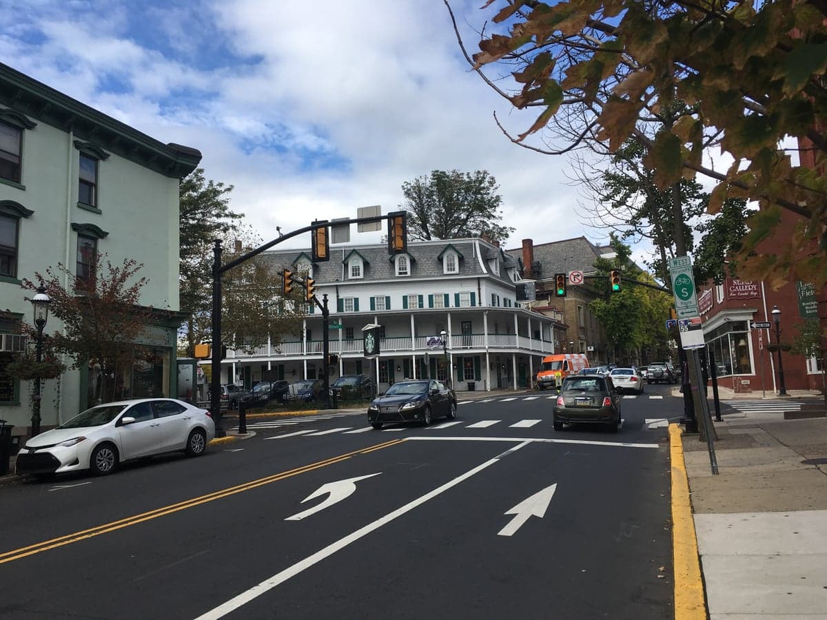
Doylestown was originally Lenape territory before William Penn's agents purchased the land in the 1680s. The borough's name comes from the Doyle family, who operated a tavern at the crossroads of what is now Main and State streets in the mid-1700s. The settlement grew slowly as an agricultural service center, and its population remained small — under 1,000 — through most of the 19th century. The arrival of the North Pennsylvania Railroad in 1856 transformed Doylestown into a commuter-served county seat, drawing a wave of English, German, and Scots-Irish families who built the brick and stone homes that now define the East Court Street Historic District and the West State Street neighborhood. These early residents were merchants, lawyers, and county government workers, and their descendants formed the core of the borough's Protestant and Catholic congregations. A smaller wave of Irish immigrants arrived in the 1840s and 1850s to work on the railroad and in domestic service, settling in modest rowhouses along North Main Street and Shewell Avenue. The borough's population plateaued at roughly 5,000 by 1930 and remained stable through the mid-20th century, as restrictive zoning and a lack of large-scale industry limited new housing construction.
Modern era (post-1965)
The 1965 Hart-Cellar Act had a negligible effect on Doylestown's demographics. Unlike nearby Levittown or Philadelphia, the borough never became a destination for post-1965 immigration. The foreign-born share has hovered near 1% for decades, and the non-white population grew only incrementally. The most significant demographic shift since 1965 has been domestic: the in-migration of affluent professionals from Philadelphia and New York, drawn by the borough's historic architecture, strong public schools (Central Bucks School District), and commuter rail access via SEPTA's Lansdale/Doylestown Line. These newcomers — overwhelmingly white and college-educated — concentrated in the Oakwood Park and Linden Park neighborhoods, where larger single-family homes were built on former farmland in the 1970s and 1980s. The Hispanic population, now 4.3%, began growing in the 1990s, primarily among Mexican-origin families working in landscaping, construction, and the service industry. They settled in smaller numbers across the borough, with a modest cluster in the Lower State Road area near the Doylestown Shopping Center. The East/Southeast Asian population (0.9%) and Indian-subcontinent population (0.7%) are recent arrivals, mostly professionals employed at Doylestown Hospital or commuting to pharmaceutical and tech firms in Montgomery County; they are dispersed rather than concentrated in any single neighborhood.
The future
Doylestown's population is projected to remain stable or decline slightly over the next decade, constrained by a built-out housing stock and limited developable land within the borough's 2.2 square miles. The white share is likely to edge downward slowly — from 90.8% to perhaps 85-87% by 2035 — as younger, more diverse households replace retiring residents. The Hispanic share is the fastest-growing segment, driven by natural increase and continued service-sector migration, and could reach 6-7% by 2035. The East/Southeast Asian and Indian-subcontinent populations will likely grow modestly, but Doylestown lacks the job base or ethnic infrastructure — no Asian grocery stores, no Indian temples, no large ethnic professional networks — to attract the kind of concentrated growth seen in nearby Montgomery County suburbs like Upper Dublin or Lower Merion. The borough's cultural identity will remain predominantly white, professional, and family-oriented, with a strong preservationist ethos that resists large-scale development. New residents will continue to be drawn by the historic district, the walkable downtown, and the school system, not by diversity or affordability.
For a prospective resident, Doylestown offers a stable, highly educated, and overwhelmingly white community with excellent schools and a preserved historic character — but little ethnic or economic diversity. The borough is best suited for families and professionals who prioritize walkability, low crime, and strong public services over demographic variety or urban energy. The population is aging slowly, and the next decade will see a gradual turnover of homes from older empty-nesters to younger families, but the essential character of the place — affluent, insular, and historically rooted — is unlikely to change meaningfully.

* Values derived from national, state, county, city and local statistics and may differ in a specific area. Last updated: 2026-09-27T19:28:49.000Z
Narrative content on this page is AI-generated and may contain mistakes. Verify any details that matter before acting on them.
ReloMaps may earn a commission from affiliate links at no extra cost to you.

