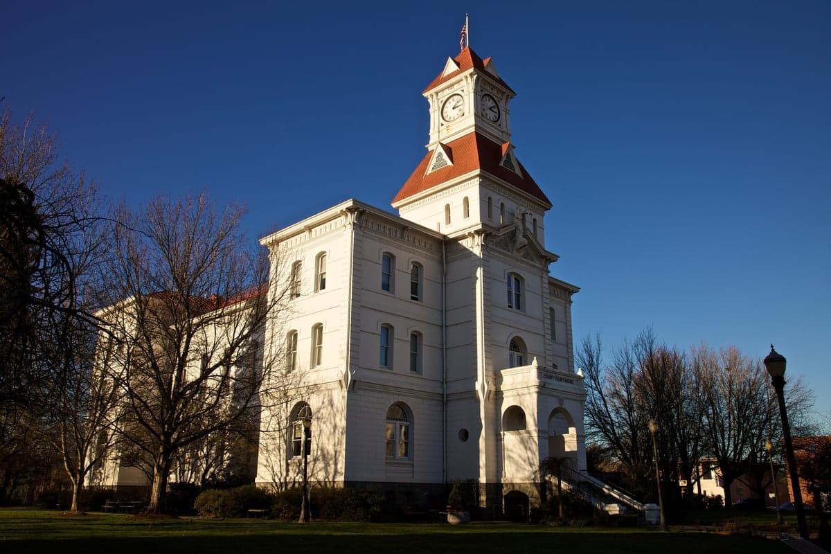
Photo: Wikipedia
Strategic Assessment of Corvallis, OR
Meaningful friction. Expect exposure to either population pressure, blast zones, or natural disaster risk. Consider buying a retreat property.
What does the Strategic Assessment tell us?
Our Strategic Assessment grades tactical survivability of an area. Major population centers, military targets, fallout zones, natural disasters, and border exposure all drive risk — lower exposure means a more defensible position in a crisis.
This is heavily inspired by Joel Skousen's Strategic Relocation book. Highly recommended you checkout the book ($)What does this tell us?
Our Strategic Assessment grades tactical survivability of an area. Major population centers, military targets, fallout zones, natural disasters, and border exposure all drive risk — lower exposure means a more defensible position in a crisis.
This is heavily inspired by Joel Skousen's Strategic Relocation book. Highly recommended you checkout the book ($)Strategic Pillars

Key Distances
Regional Safe Places
Below is our recommended "safe zones" in Oregon and the surrounding area based on our strategic heuristics. For most people, it's unrealistic to live in a “safe zone” full-time due to work, family or other personal reasons. They tend to be more rural. However, many of these areas are perfect for second homes and retreat properties that double as a vacation home or even a short-term rental.


Important Note: For informational purposes only. This does not mean nothing bad ever happens in the green zones. Please use common sense. This is based on public data and modeled with AI. We tried to take a conservative approach but mistakes happen. We update this regularly as new information becomes available.
Solar Generator Recommendations
Backup power matters more here than in safer locations. We've picked three solar generators across budgets and capacity tiers — start with the budget unit if you only need a few essentials, or step up if you want to run a fridge and HVAC for days at a time.

Jackery Portable Power Station Explorer 300
Budget OptionPower on the Go: Weighing only 11 lbs, it's convenient to set up and store with book-sized foldable solar panels

BLUETTI Portable Power Station AC180
Designed for both indoor and outdoor scenarios, AC180 is highly capable as it has a robost capacity and continuous output power.

EF ECOFLOW DELTA Pro Ultra Power Station
Upgraded PickEcoFlow DELTA Pro Ultra is a whole-home energy system designed to grow with your family. Integrated with the Smart Home Panel 2, it scales to meet your evolving energy needs — keeping your home powered, intelligent, and secure through every stage of life.
We earn a commission, at no additional cost to you.
Strategic Assessment Analysis
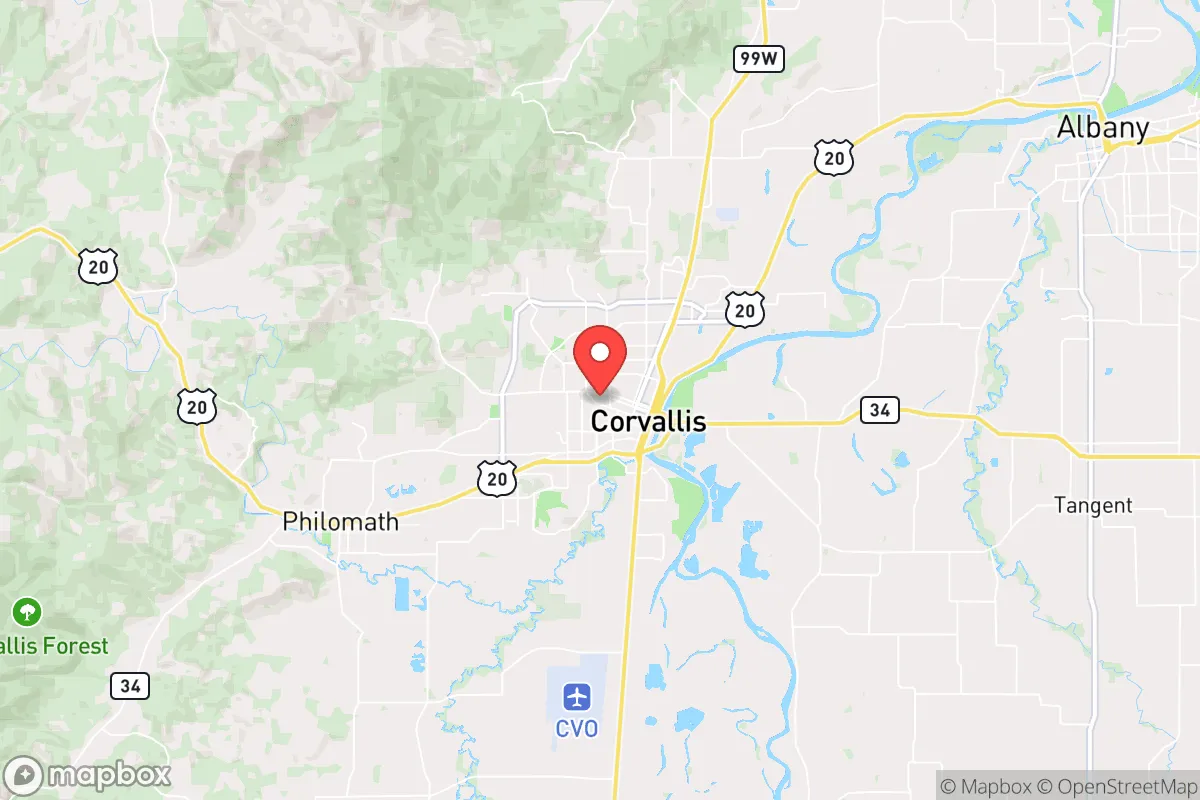
Corvallis, Oregon, occupies a strategic position in the Willamette Valley that offers a blend of natural insulation and practical self-sufficiency potential, making it a noteworthy option for those prioritizing disaster readiness and long-term resilience. Its location roughly 85 miles south of Portland and 45 miles north of Eugene places it outside the immediate blast and fallout zones of major metropolitan targets, while still providing access to critical supply chains and medical infrastructure. The city’s surrounding landscape—flanked by the Coast Range to the west and the Cascade foothills to the east—creates a natural buffer that reduces exposure to certain large-scale threats, though it introduces distinct vulnerabilities of its own that any relocator must weigh carefully.
Geographic position and natural advantages for long-term stability
Corvallis sits at the confluence of the Willamette and Marys Rivers, a setting that historically supported robust agriculture and trade. The Willamette Valley itself is one of the most fertile regions in the United States, with deep alluvial soils and a temperate maritime climate that allows for year-round growing of staple crops, vegetables, and fruits. This agricultural capacity is a core resilience asset: within a 30-mile radius, you have access to grass-seed farms, hazelnut orchards, berry fields, and livestock operations that could sustain a local food system even if national supply chains falter. The city’s elevation—roughly 230 feet above sea level—keeps it above the worst flood risks along the Willamette River, though low-lying neighborhoods near the riverbanks do face periodic inundation. The Coast Range to the west provides a windbreak and moderates coastal storm surges, while the Cascades to the east act as a barrier against inland temperature extremes. For a relocator, the key geographic advantage is the ability to produce food locally without heavy reliance on irrigation or imported inputs, a factor that becomes critical in a prolonged disruption scenario. The nearby McDonald-Dunn Research Forest, a 11,000-acre tract managed by Oregon State University, offers a managed timber resource and wildlife habitat that could supplement fuel and protein needs in a pinch.
Natural and man-made risks: earthquakes, tsunamis, and fallout proximity
The most significant natural threat to Corvallis is the Cascadia Subduction Zone earthquake, a magnitude 9.0+ event that geologists estimate has a 37% chance of occurring in the next 50 years. Such an earthquake would cause severe ground shaking across the Willamette Valley, with liquefaction risks in the river-bottom soils that underlie parts of Corvallis. The city’s building stock, particularly older structures downtown and near the Oregon State University campus, is not uniformly retrofitted to modern seismic standards. A Cascadia quake would also trigger a Pacific-wide tsunami, but Corvallis’s inland position—roughly 60 miles from the coast—means it is safe from the wave itself. However, the aftermath would include prolonged isolation from coastal ports and potential supply chain paralysis, as highways 20 and 34, the primary routes to the coast, cross landslide-prone terrain in the Coast Range. On the man-made risk side, Corvallis is about 85 miles from Portland, a major population center and potential target for nuclear or EMP attack. Fallout from a Portland-area detonation would likely drift east-northeast with prevailing winds, placing Corvallis in a lower-risk zone compared to communities directly downwind. Still, the city lies within 100 miles of the Portland metro area, meaning that fallout contamination could reach the region within 6-12 hours depending on wind patterns, requiring a well-prepared sheltering plan. The nearby Albany-Corvallis airport and the rail lines running through the valley are secondary infrastructure targets that could be disrupted in a conflict scenario, but they are not primary strategic assets. The Hanford Nuclear Reservation in eastern Washington, roughly 250 miles away, is a long-term contamination risk only in the event of a catastrophic failure, which is unlikely given current safeguards.
Practical resilience for a relocator: food, water, energy, and defensibility
Corvallis’s practical resilience is a mixed bag that rewards proactive preparation. Water availability is excellent: the city draws from the Willamette River and local groundwater, with a treatment plant that has backup generators. In a grid-down scenario, gravity-fed streams in the nearby Coast Range and shallow wells in rural areas provide alternative sources, though boiling or filtration would be necessary. The region’s 40-50 inches of annual rainfall means rainwater catchment is a viable long-term strategy. Food resilience is the area’s strongest suit. The Willamette Valley is a breadbasket, and Corvallis itself hosts a thriving network of farmers’ markets, community gardens, and the Oregon State University Extension Service, which offers workshops on food preservation, seed saving, and small-scale livestock management. Within a 20-minute drive, you can find u-pick farms, grain mills, and local meat processors that reduce dependence on national distribution. Energy is a weaker link: the local grid is served by Pacific Power, with electricity largely sourced from hydroelectric dams on the Columbia River. A Cascadia earthquake could damage those dams or the transmission lines, leading to extended blackouts. Solar potential is moderate—the valley gets about 150 sunny days per year—so a solar-plus-battery system can cover basic loads but won’t run a full modern household in winter. Natural gas is available in town but would be cut off in a major quake. Defensibility is a nuanced factor. Corvallis is a college town of roughly 60,000 people, with a dense urban core and sprawling suburbs. The city’s layout—grid streets, multiple bridges over the Marys River, and a major highway (US-20) bisecting it—makes it hard to secure in a widespread breakdown. Rural properties within 15-20 miles of town offer far better defensibility, with chokepoints on county roads and natural barriers from forested hills. The local law enforcement presence is moderate, but the Benton County Sheriff’s Office and Corvallis Police Department would be stretched thin in a regional emergency. The presence of Oregon State University, with its research labs and emergency management programs, is a double-edged sword: it brings expertise and resources, but also a large transient population that could strain local supplies.
Overall, Corvallis presents a credible option for the disaster-conscious relocator who values agricultural self-sufficiency and a temperate climate, but it demands honest acknowledgment of its seismic risk and proximity to Portland’s target profile. The area’s strengths—abundant water, fertile soil, and a knowledgeable community—are real and actionable, but they require a relocator to invest in seismic retrofitting, food storage, and off-grid energy before a crisis hits. For those willing to trade the absolute isolation of a remote mountain homestead for the practical advantages of a valley town with strong local food systems and a moderate population, Corvallis offers a balanced strategic picture. The key is to treat it as a base for resilience, not a bunker: build relationships with local farmers, learn the back roads, and prepare for a Cascadia event as the most probable long-term disruption. In the calculus of disaster readiness, Corvallis is a solid B+—not perfect, but far better than most urban alternatives in the Pacific Northwest.

* Values derived from national, state, county, city and local statistics and may differ in a specific area. Last updated: 2026-06-13T19:02:48.000Z
Narrative content on this page is AI-generated and may contain mistakes. Verify any details that matter before acting on them.
ReloMaps may earn a commission from affiliate links at no extra cost to you.

