
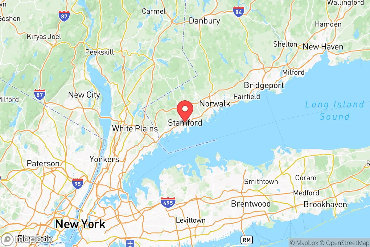
Quality of Life in Western Connecticut Planning Region County
A livable area that tracks near national norms for affordability, walkability, and neighborhood health.
What does Quality of Life tell us?
Quality of Life measures an area by evaluating factors like cost of living, nearby amenities, country club access, airport proximity, socioeconomic signals and neighborhood character. For large states, this is a general average — quality of life can vary dramatically between metro areas, suburbs, and rural communities within the same state.
What does this tell us?
Quality of Life measures an area by evaluating factors like cost of living, nearby amenities, country club access, airport proximity, socioeconomic signals and neighborhood character. For large states, this is a general average — quality of life can vary dramatically between metro areas, suburbs, and rural communities within the same state.
Cost of Living
95% above national average
70%
The Real Cost of Living in Western Connecticut Planning Region County for 2026
| Tier | Individual | Family (4) |
|---|---|---|
| Survival | $33k | $62k |
| Comfortable | $122k | $179k |
| Luxury | $225k+ | $349k+ |
| Elite (Top 5%) | $392k+ | $607k+ |
Quality-of-Life Analysis
The Western Connecticut Planning Region, more commonly known as the Housatonic Valley and Greater Danbury area, offers a dramatic quality-of-life spectrum that ranges from bustling, commuter-friendly cities to quiet, forested hamlets. With a cost of living index of 195 (nearly double the U.S. average), a median home value of $625,400, and a median rent of $2,060, the region attracts a distinct mix of New York City professionals, second-home buyers, and long-term residents seeking a balance of rural charm and economic opportunity. The average commute of roughly 31 minutes reflects the region's role as a bedroom community for Fairfield County and Westchester, but the character of daily life shifts noticeably depending on whether one settles in the urbanized Danbury area, a historic river town like New Milford, or a remote rural corner like Sherman.
Largest town(s) & population centers
Danbury is the undisputed hub of the region, a city of roughly 86,000 residents that functions as the commercial, retail, and transportation center for western Connecticut. Daily life here is suburban-urban: residents rely on the Danbury Fair Mall, the city's robust restaurant scene, and direct Metro-North rail service to Grand Central Terminal. The city's population is notably diverse, with large Portuguese, Brazilian, and Latino communities shaping its cultural calendar and cuisine. New Milford, the second-largest town with about 28,000 people, offers a more traditional New England small-city feel centered on its historic green and the Candlewood Lake shoreline. Life in New Milford revolves around local shops on Bank Street, the town's extensive park system, and a slower pace than Danbury, though it still provides essential services like the New Milford Hospital. Both towns see heavy commuter traffic, with Danbury's I-84 corridor and New Milford's Route 7 serving as primary arteries.
Smaller towns & rural pockets
Beyond the population centers, the region's character shifts sharply in towns like Sherman, Kent, and Bridgewater. Sherman, with fewer than 4,000 residents, is a heavily wooded, lakefront community on Candlewood Lake where large lots and private roads are the norm; many homes here are seasonal or second properties. Kent, known for its covered bridges and the Appalachian Trail crossing, attracts artists, hikers, and weekenders to its walkable village center and the Kent School campus. Bridgewater remains one of the state's least densely populated towns, with no commercial downtown to speak of—just winding roads, horse farms, and the Housatonic River valley. These rural pockets offer genuine seclusion but require driving 20–30 minutes to Danbury or New Milford for groceries, medical care, and most employment. The unincorporated village of Gaylordsville, part of New Milford, exemplifies the rural extreme: a handful of homes, a general store, and little else.
Cost & lifestyle range
The cost of living varies dramatically within the region. At the high end, Sherman and Ridgefield (technically in Fairfield County but adjacent) see median home values well above the county's $625,400 average, with lakefront properties on Candlewood Lake frequently exceeding $1.5 million. These towns offer the lowest density, best school systems, and most exclusive amenities. At the more accessible end, Danbury and parts of New Milford provide median rents near the $2,060 mark and home prices in the $400,000–$550,000 range for smaller condos or fixer-uppers. Bethel, a smaller town just south of Danbury, offers a middle ground: a walkable downtown with a train station, home values around $500,000, and a strong sense of community without the premium of Ridgefield. Renters and first-time buyers typically gravitate to Danbury's multi-family neighborhoods or New Milford's older housing stock, while those seeking acreage and privacy pay a premium in Sherman or Kent. Property taxes are high across the board, often exceeding $8,000 annually on a median-priced home, which is a key consideration for budget-conscious movers.
This region best suits professionals who work in Fairfield County or Westchester and can absorb the high housing costs, as well as retirees and second-home buyers seeking a quiet, nature-oriented lifestyle within striking distance of New York City. Families should weigh school quality carefully—Danbury's diverse public schools differ markedly from the smaller, higher-performing districts in Sherman or Kent. For those who value walkable downtowns and train access, Danbury or Bethel are the clear choices; for those who prioritize privacy, lake access, or Appalachian Trail proximity, the rural towns deliver a lifestyle unavailable anywhere else in Connecticut. The trade-off is consistent: convenience and affordability diminish the farther one moves from the I-84 corridor, but the natural beauty and space increase proportionally.

Crime in Western Connecticut Planning Region County
Generally safer than 71% of comparable U.S. locations.
Violent CrimeViolent Crime Analysis
Property CrimeProperty Crime Analysis
Crime Analysis
Western Connecticut Planning Region, encompassing the Housatonic Valley and Litchfield Hills, presents a notably safe environment compared to both state and national benchmarks. The region’s violent crime rate stands at 110.5 incidents per 100,000 residents, and its property crime rate is 1,139.8 per 100,000. These figures place the area well below Connecticut’s statewide averages and significantly lower than the national median, making it one of the more secure regions in the state for families and professionals.
Crime in context
To understand the region’s safety, it helps to compare its rates to broader trends. Connecticut’s statewide violent crime rate is roughly 180 per 100,000, and the national rate hovers near 380 per 100,000. Western Connecticut’s violent crime rate of 110.5 is thus about 40% lower than the state average and nearly 70% lower than the national figure. Property crime in the region, at 1,139.8 per 100,000, is also below the state average of approximately 1,400 and well under the national rate of 1,950. These numbers reflect a region where serious offenses like robbery and aggravated assault are uncommon, though property crimes such as larceny and motor vehicle theft remain the primary concern for residents.
What residents experience
Daily life in Western Connecticut is characterized by low fear of violent crime. Towns like New Milford, Danbury, and Brookfield report the bulk of the region’s incidents, largely due to their higher population density and commercial activity. Danbury, the region’s largest city, sees a moderate number of property crimes, including shoplifting and vehicle break-ins, but violent crime remains rare. In contrast, smaller communities such as Kent, Sharon, and Cornwall consistently report near-zero violent crime rates, offering a rural tranquility that appeals to retirees and remote workers. The region’s property crime rate, while higher than its violent counterpart, is driven by opportunistic thefts rather than organized crime, and most incidents occur in commercial zones or near transit corridors like Interstate 84.
However, residents should be aware of the judicial environment in the region. The Danbury Judicial District, which covers much of the area, has seen a trend toward progressive prosecution policies in recent years. District attorneys in this district have increasingly emphasized diversion programs and reduced sentencing for nonviolent offenders, which, while well-intentioned, can result in repeat property crimes and a perception of leniency. This approach, common in liberal-leaning metro areas, means that while violent crime is low, property crime offenders may face minimal consequences, potentially emboldening theft rings that target suburban homes and vehicles. For families, this underscores the importance of basic precautions like locking cars and securing packages, even in safe towns like Ridgefield or Bethel.
Neighborhood-level variation
Safety varies noticeably within the region. The most affluent areas—such as Washington, Roxbury, and Bridgewater—enjoy the lowest crime rates, often with violent crime rates below 50 per 100,000. These towns benefit from low population density, high property values, and active neighborhood watch programs. In contrast, the more urbanized corridor along Route 7 and I-84, including parts of Danbury and New Milford, sees property crime rates that can exceed 1,500 per 100,000. The region’s rural northern towns, like Norfolk and Colebrook, are exceptionally safe but lack the amenities of larger communities. Overall, Western Connecticut offers a strong safety profile, but the progressive judicial philosophy in the Danbury district means residents should remain vigilant about property security, particularly in commercial hubs.
* Values derived from national, state, county, city and local statistics and may differ in a specific area. Last updated: 2026-06-17T00:30:19.000Z
Narrative content on this page is AI-generated and may contain mistakes. Verify any details that matter before acting on them.
ReloMaps may earn a commission from affiliate links at no extra cost to you.

