
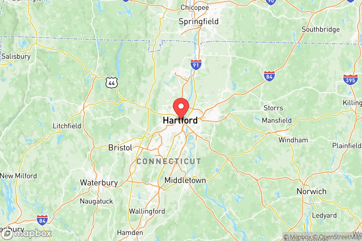
Strategic Assessment of Capitol Planning Region County
Multiple tactical vulnerabilities. Population density, target proximity, or disaster risk are likely compounding. A retreat property and exit planning is required.
What does the Strategic Assessment tell us?
Our Strategic Assessment grades tactical survivability of an area. Major population centers, military targets, fallout zones, natural disasters, and border exposure all drive risk — lower exposure means a more defensible position in a crisis.
This is heavily inspired by Joel Skousen's Strategic Relocation book. Highly recommended you checkout the book ($)What does this tell us?
Our Strategic Assessment grades tactical survivability of an area. Major population centers, military targets, fallout zones, natural disasters, and border exposure all drive risk — lower exposure means a more defensible position in a crisis.
This is heavily inspired by Joel Skousen's Strategic Relocation book. Highly recommended you checkout the book ($)Strategic Pillars

Key Distances
Strategic Assessment Analysis
The Capitol Planning Region of Connecticut, anchored by the state capital of Hartford, presents a mixed strategic picture for relocation-minded readers prioritizing resilience and self-sufficiency. While the region offers genuine advantages in water abundance and a temperate climate that avoids the worst of hurricane and wildfire risks, its position as the state's political and economic core introduces significant vulnerabilities tied to population density and critical infrastructure. For a conservative-leaning individual or family weighing disaster readiness, the region demands careful consideration of its geographic strengths against its exposure to man-made and natural risks.
Geographic position and natural advantages for long-term stability
The Capitol Planning Region sits inland, roughly 40 miles from Long Island Sound, which provides a meaningful buffer against the storm surge and coastal flooding that threaten shoreline communities like New London or Bridgeport. The region's terrain is characterized by rolling hills, river valleys, and substantial forest cover—particularly in the northern and western towns such as Granby, Suffield, and Burlington—offering natural defensibility and ample space for dispersed settlement. The Connecticut River, which bisects the region, is a reliable freshwater source, though its floodplain requires careful site selection. The area's climate is moderate: summers are warm but not extreme, winters bring manageable snowfall, and the region is not prone to earthquakes, tornadoes, or wildfires at the scale seen in the West or Plains. This relative climatic stability reduces the frequency of emergency events, a key factor for long-term preparedness planning.
Risks, exposures, and proximity to fallout-relevant landmarks
The primary strategic vulnerability of the Capitol Planning Region is its concentration of high-value targets and critical infrastructure. Hartford itself is home to the state capitol, multiple insurance company headquarters (including The Hartford and Travelers), and major hospitals like Hartford Hospital. The region also hosts Bradley International Airport in Windsor Locks, a major transportation hub, and the Pratt & Whitney engine manufacturing facility in East Hartford, a key defense contractor. These sites, while economically vital, are potential targets in a conflict scenario. Additionally, the region lies within roughly 100 miles of New York City and Boston, placing it within the fallout zone of a major event at either metropolitan area. The Connecticut River's industrial corridor, including aging power plants and chemical storage facilities in towns like Windsor and Rocky Hill, presents a secondary risk of industrial accidents or contamination. Flooding along the Connecticut River and its tributaries is a recurring natural hazard, with the 1936 and 1955 floods serving as historical benchmarks; modern flood control measures mitigate but do not eliminate this risk. For a relocator, the key takeaway is that while the region avoids the worst coastal and seismic threats, its centrality to state and regional infrastructure creates a non-trivial exposure profile.
Practical resilience for a relocator: food, water, energy, and defensibility
For a family or individual serious about self-sufficiency, the Capitol Planning Region offers several practical advantages. Water availability is excellent: the Connecticut River and its tributaries provide a surface water supply that is among the most reliable in the Northeast, and groundwater in the region's glacial aquifers is generally accessible via private wells in rural areas. Food production potential is moderate but real: the region's agricultural heritage is visible in towns like Glastonbury and South Windsor, which still have working farms, orchards, and community-supported agriculture operations. The Connecticut River Valley's fertile soils support vegetable, dairy, and fruit production, and the growing season (roughly April to October) allows for meaningful home gardening. However, the region is not a major grain or livestock producer, meaning long-term food security would require significant personal investment in growing, preserving, and bartering. Energy resilience is a mixed bag: the grid is reliable but aging, and winter storms can cause multi-day outages, particularly in rural areas with overhead lines. Solar potential is decent but not exceptional—the region averages about 200 sunny days per year, less than the Southwest but sufficient for a well-sized off-grid system paired with battery storage. Wood heating is a viable backup, as hardwood forests are abundant. Defensibility varies sharply by location: the densely populated Hartford suburbs (West Hartford, Farmington, Manchester) offer little in the way of retreat or security, while the more rural towns to the north and west—Granby, East Granby, Burlington—provide greater isolation, lower population density, and more land for self-sufficient living. The region's extensive network of state forests and parks, including Peoples State Forest and American Legion State Forest, offers potential bug-out locations, but these are public lands with access restrictions. For a relocator, the practical strategy is to target the rural fringe—towns like Granby or East Granby—where well water, septic systems, and larger lots are the norm, and where proximity to Hartford's jobs and services is balanced by genuine separation from its risks.
In the final strategic assessment, the Capitol Planning Region offers a viable but conditional option for the resilience-minded relocator. Its inland location, abundant freshwater, and moderate climate provide a solid foundation for long-term stability, while its agricultural potential and rural pockets support a self-sufficient lifestyle. However, the region's role as Connecticut's political and industrial core introduces real exposure to man-made risks, from infrastructure targets to fallout from nearby metropolitan areas. The prudent relocator would avoid the Hartford metro core and its immediate suburbs, focusing instead on the northern and western towns where land is affordable, water is plentiful, and neighbors are few. For those willing to trade the absolute isolation of rural Maine or Vermont for proximity to jobs and services, the Capitol Planning Region's fringe offers a balanced, defensible position—provided one is clear-eyed about the risks that come with living near the state's nerve center.

* Values derived from national, state, county, city and local statistics and may differ in a specific area. Last updated: 2026-06-22T07:56:12.000Z
Narrative content on this page is AI-generated and may contain mistakes. Verify any details that matter before acting on them.
ReloMaps may earn a commission from affiliate links at no extra cost to you.

