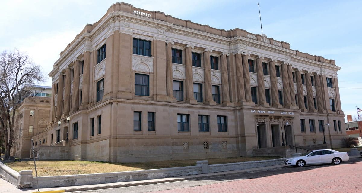
Photo: Wikipedia
Strategic Assessment of Las Animas County
Deep buffer from population centers and strategic targets. Low natural disaster risk and minimal exposure to border or coastal threats.
What does the Strategic Assessment tell us?
Our Strategic Assessment grades tactical survivability of an area. Major population centers, military targets, fallout zones, natural disasters, and border exposure all drive risk — lower exposure means a more defensible position in a crisis.
This is heavily inspired by Joel Skousen's Strategic Relocation book. Highly recommended you checkout the book ($)What does this tell us?
Our Strategic Assessment grades tactical survivability of an area. Major population centers, military targets, fallout zones, natural disasters, and border exposure all drive risk — lower exposure means a more defensible position in a crisis.
This is heavily inspired by Joel Skousen's Strategic Relocation book. Highly recommended you checkout the book ($)Strategic Pillars

Key Distances
Strategic Assessment Analysis
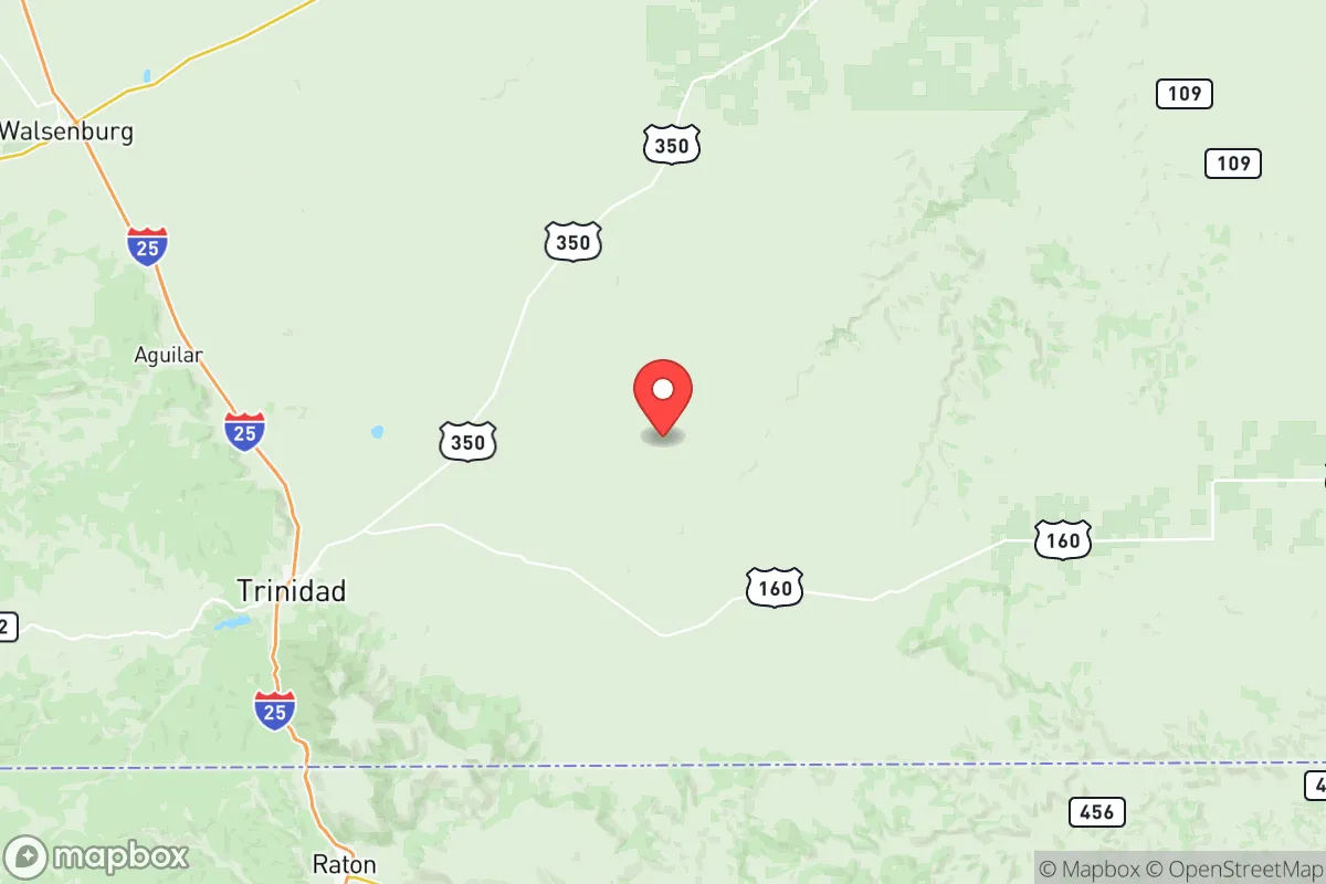
Las Animas County, anchored by the historic town of Trinidad and stretching across southeastern Colorado’s high plains and mesas, offers a strategic relocation option for those prioritizing resilience, self-sufficiency, and distance from major metropolitan vulnerabilities. Its location—roughly 80 miles south of Pueblo and 180 miles south of Denver—places it well outside the immediate fallout zones of Colorado’s Front Range urban corridor, while its proximity to the New Mexico border provides an additional layer of geographic buffer. The county’s sparse population density (roughly 14,000 residents across 4,775 square miles) and its mix of agricultural land, ranch country, and forested foothills create a setting where a prepared individual or family can establish a relatively defensible and self-reliant lifestyle, though not without acknowledging real risks tied to energy infrastructure and regional economic fragility.
Geographic position and natural advantages for long-term security
Las Animas County sits at the southern edge of the Colorado Front Range, where the Great Plains rise toward the Sangre de Cristo Mountains. This transitional geography offers several resilience benefits. The county’s elevation—Trinidad sits at roughly 6,000 feet—means a semi-arid climate with low humidity, reducing the risk of mold, rot, and pest infestations that plague wetter regions. The area receives about 15 inches of annual precipitation, enough to support dryland farming and grazing but not so much as to create chronic flooding or drainage issues. The Purgatoire River, which runs through Trinidad and the county’s central corridor, provides a perennial water source, though it’s modest compared to larger river systems. The county’s terrain includes the Spanish Peaks and the eastern edge of the San Isabel National Forest, offering timber, game, and natural cover for those seeking a more remote homestead. The Fishers Peak State Park, just south of Trinidad, adds over 19,000 acres of public land with limited access, which could serve as a buffer zone or emergency resource area. Critically, the county is far from any major military base (Fort Carson is 120 miles north, Cannon Air Force Base is 100 miles south) and well outside the blast radius of any high-value strategic target like Cheyenne Mountain or the Denver Federal Center. This relative isolation from primary nuclear targets is a significant advantage for a relocator focused on long-term survivability.
Exposure to natural hazards and proximity to man-made risks
While Las Animas County avoids the worst of coastal hurricane threats and major earthquake zones, it is not without its own hazard profile. The county sits in a region with moderate wildfire risk, particularly in the forested western portions near the Sangre de Cristo range and the Purgatoire River canyon. The 2020 Spring Fire, which burned over 100,000 acres in neighboring Huerfano and Costilla counties, serves as a recent reminder that dry summers and high winds can produce fast-moving fires that threaten rural structures. Flooding is a localized concern along the Purgatoire River and its tributaries during heavy summer monsoon rains, though the county’s overall arid climate limits widespread flood risk. Tornadoes are possible but less frequent than in the eastern plains, with an average of one or two weak touchdowns per decade. The more significant man-made risk comes from the county’s energy infrastructure. Las Animas County is home to the Comanche Power Plant, a natural gas-fired facility near Trinidad, and several natural gas pipelines that traverse the region. A major pipeline rupture or industrial accident could create localized contamination or disruption. Additionally, the county’s proximity to the Raton Basin—a region with a history of coal mining and methane extraction—means that abandoned mine shafts and underground voids exist, particularly around the old mining towns of Ludlow, Hastings, and Starkville. These present a collapse hazard and potential for groundwater contamination. For a relocator, the key takeaway is that while Las Animas County is far from the high-value targets of the Front Range, it is not a zero-risk zone; the energy infrastructure and legacy mining activity require situational awareness and careful property selection.
Practical resilience for a relocator: food, water, energy, and defensibility
For someone serious about self-sufficiency, Las Animas County offers a mixed but workable foundation. Water is the most critical variable. The Purgatoire River and its tributaries provide surface water, but rights are heavily allocated and junior to agricultural uses. A relocator should plan on drilling a well—depths in the county typically range from 100 to 400 feet, with yields varying by location. The county’s groundwater is generally of good quality but can be hard, requiring treatment for long-term use. Rainwater catchment is legal in Colorado, but the state’s complex water rights system means that collection for domestic use is limited to properties with a well permit. Food production is feasible: the growing season averages 140 to 160 days, suitable for cool-season crops like potatoes, beans, and squash, as well as hardy grains. The county’s agricultural heritage means that local knowledge and seed stock are available through the Trinidad Farmers Market and regional extension services. Livestock—particularly cattle, goats, and poultry—are common, and the open range allows for grazing on larger parcels. Energy resilience is a strong point. The area receives over 300 days of sunshine per year, making solar photovoltaic systems highly effective. Wind is also a viable supplement, particularly on the eastern plains. The county’s rural electric cooperatives, such as San Isabel Electric, offer net metering, allowing a relocator to offset grid dependence. Defensibility varies by location. The mesas and canyons west of Trinidad provide natural chokepoints and observation points, while the open plains to the east offer long sightlines but less cover. A property with a southern or western exposure on a mesa top, with a reliable well and solar array, would be hard to approach undetected. The county’s low population density also means that a relocator can maintain a low profile, avoiding the social friction that can arise in more crowded rural areas. The town of Trinidad itself has a population of about 8,000 and offers a hardware store, a grocery store, and a hospital—useful for resupply but not a place to rely on during a prolonged crisis.
Overall, Las Animas County presents a credible option for the strategic relocator who values distance from primary targets, a manageable hazard profile, and the potential for genuine self-sufficiency. Its weaknesses—limited surface water, wildfire risk, and legacy energy infrastructure—are manageable with proper planning and property selection. The county’s location, straddling the Colorado-New Mexico border and far from the Front Range’s density, gives it a buffer that few areas closer to Denver or Colorado Springs can offer. For a family or individual willing to invest in a well, solar power, and a defensible property, Las Animas County provides a realistic base for long-term resilience without the extreme isolation of more remote mountain counties. It is not a paradise, but it is a place where a prepared person can build a sustainable, low-profile life with a reasonable margin of safety.

* Values derived from national, state, county, city and local statistics and may differ in a specific area. Last updated: 2026-07-27T01:29:57.000Z
Narrative content on this page is AI-generated and may contain mistakes. Verify any details that matter before acting on them.
ReloMaps may earn a commission from affiliate links at no extra cost to you.

