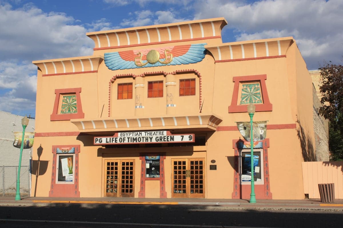
Photo: Wikipedia
Strategic Assessment of Delta County
Strong survivability profile. Good buffer from population centers, with manageable environmental and tactical risks.
What does the Strategic Assessment tell us?
Our Strategic Assessment grades tactical survivability of an area. Major population centers, military targets, fallout zones, natural disasters, and border exposure all drive risk — lower exposure means a more defensible position in a crisis.
This is heavily inspired by Joel Skousen's Strategic Relocation book. Highly recommended you checkout the book ($)What does this tell us?
Our Strategic Assessment grades tactical survivability of an area. Major population centers, military targets, fallout zones, natural disasters, and border exposure all drive risk — lower exposure means a more defensible position in a crisis.
This is heavily inspired by Joel Skousen's Strategic Relocation book. Highly recommended you checkout the book ($)Strategic Pillars

Key Distances
Strategic Assessment Analysis
Delta County, Colorado, offers a compelling resilience profile for relocators seeking a balance of isolation, natural resources, and lower exposure to the vulnerabilities that plague major metropolitan areas. Tucked into the western slope of the Rockies, the county is anchored by the town of Delta (the county seat) and smaller communities like Cedaredge, Hotchkiss, Paonia, and Crawford — all far removed from Colorado's Front Range urban corridor and its associated risks. The area's combination of working agricultural land, ample water from the Gunnison River, and a defensible topography makes it worth a serious look for anyone thinking about long-term self-sufficiency and disaster readiness.
Why Delta County's geographic position provides a natural stronghold
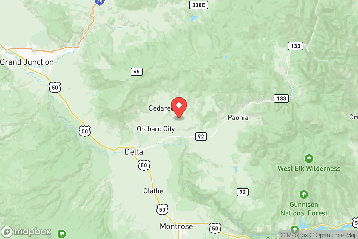
Delta County sits in the broad valley where the Gunnison River meets the North Fork, surrounded by the mesas and mountains of the Colorado Plateau. The Grand Mesa, the world's largest flat-topped mountain, rises to the north and acts as both a physical barrier and a watershed — its heavy snowpack feeds the creeks and irrigation ditches that sustain the valley. To the south, the Uncompahgre Plateau and the San Juan Mountains create a second layer of separation from the more populated areas of the state. This geography means the county is not on any direct route to a high-value target. The nearest major population center — Grand Junction — is about 45 minutes west in Mesa County, but even that city is a mid-sized hub rather than a strategic target. For a relocator asking about fallout risk, Delta County's location scores well: no nuclear power plants, no major military installations (the closest is perhaps the remote radar station on Grand Mesa or the occasional National Guard training areas near Montrose), and no refineries or ports within hundreds of miles. The area essentially sits in a "backstop" zone, behind the natural defenses of the Rockies and far from the coasts and corridors that attract disruption. The climate is semi-arid high desert, with cold winters and hot summers, but the growing season along the North Fork Valley is long enough for thriving orchards and vineyards — a key advantage for anyone contemplating food independence.
Assessing natural and man-made risks: wildfire, weather, and proximity to targets
No location is without risk, and Delta County has its own set of exposures. The most significant natural threat is wildfire, especially in the piñon-juniper woodlands and the dry brush of the lower elevations. The summer of 2020 saw the catastrophic Pine Gulch Fire in nearby Mesa County, and while Delta County was not directly hit, the risk is real. Homes built in the wildland-urban interface around Cedaredge and Hotchkiss should have defensible space and fire-resistant construction. Winter storms can also shut down mountain passes — particularly Highway 65 over Grand Mesa and the twisting roads through the North Fork Valley — which means a household needs to be prepared for occasional multi-day isolation. On the man-made risk front, the county's low population density (about 30,000 people) and distance from any known Strategic National Stockpile sites, chemical plants, or nuclear facilities make it a low-priority target in almost any plausible fallout scenario. The closest potential "fallout-relevant landmark" would be the uranium tailings sites near Moab, Utah — over 150 miles southwest — or the Colorado nuclear research facilities around Golden, which are beyond any realistic dispersion range. More relevant for the practical relocator: Delta County lies along the Gunnison River, a tributary of the Colorado River, which means water security is not a hypothetical — it's a concrete, year-round resource that supports both municipal supplies and agricultural irrigation. The county's rural character also means low crime and minimal civil disturbance risk; the local sheriff's office is responsive but relies on a sparse network of deputies, so community self-policing and neighborhood awareness are the norm.
How Delta County supports self-reliance: local food, water rights, and energy options
For a relocator serious about practical resilience, Delta County stands out for its established agricultural base and renewable energy potential. The North Fork Valley is one of Colorado's most productive fruit-growing regions, known for peaches, apples, cherries, and wine grapes. Local farmers markets in Paonia and Delta operate through the summer and fall, and there is a strong network of small-scale growers, seed exchanges, and farm stands. Water rights are a critical concern in the arid West, but Delta County's water is relatively secure compared to the Front Range — surface water diversions from the Gunnison and North Fork rivers are senior and well-regulated, and many properties have irrigation shares or well permits. Buyers should always check water rights before purchasing land, but the overall picture is favorable. Energy resilience is mixed: the area is served by the Delta-Montrose Electric Association, which sources power from a mix of coal (the nearby Craig Station, now in transition), natural gas, and increasing renewables. Many residents supplement with rooftop solar, which works well given over 300 sunny days per year. Wood and pellet stoves are common for heating, and the surrounding national forests provide ample fuel with a proper permit. Defensibility of a property in Delta County depends on location — homes set back from main highways (U.S. 50, State 92, State 133) with long, visible driveways and surrounded by open agricultural land offer both privacy and the ability to monitor access. The county's terrain does not provide choke points like narrow canyons, but the valleys are broad enough that a determined group could approach from multiple directions; "defensibility" here is more about obscurity and distance from population centers than organic fortification. That said, the locals are accustomed to looking out for one another, and the county's easy-going but staunchly independent culture fits a conservative-leaning audience that values minimal government interference and maximum personal responsibility.
The strategic picture for Delta County is clear: it offers one of the best combinations of low man-made risk exposure, abundant local food and water, and geographic isolation in the western United States for a relocator who takes preparedness seriously. The trade-offs are real — harsh winters, limited specialized medical care (the major hospital is in Grand Junction), and a remote location that requires advance planning for supplies and services. But for someone looking to put down roots in a place that is both beautiful and genuinely difficult to disrupt, Delta County deserves a top spot on the short list. The key is to visit in both summer and winter, talk to locals at the Paonia Co-op or the Delta County Fair, and understand that self-reliance here is not an abstraction — it's the daily reality of living on the western slope.

* Values derived from national, state, county, city and local statistics and may differ in a specific area. Last updated: 2026-06-24T22:31:14.000Z
Narrative content on this page is AI-generated and may contain mistakes. Verify any details that matter before acting on them.
ReloMaps may earn a commission from affiliate links at no extra cost to you.

