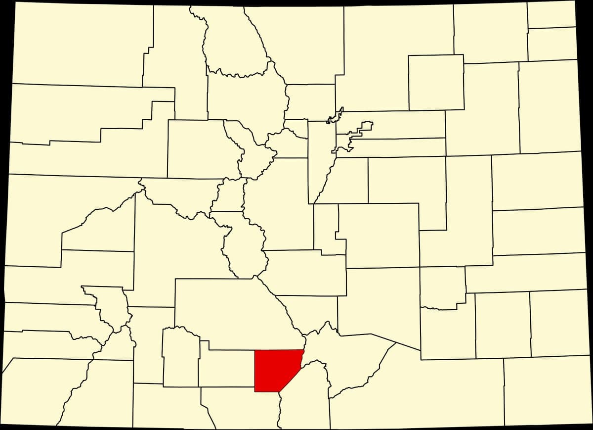
Photo: Wikipedia
Strategic Assessment of Alamosa County
Strong survivability profile. Good buffer from population centers, with manageable environmental and tactical risks.
What does the Strategic Assessment tell us?
Our Strategic Assessment grades tactical survivability of an area. Major population centers, military targets, fallout zones, natural disasters, and border exposure all drive risk — lower exposure means a more defensible position in a crisis.
This is heavily inspired by Joel Skousen's Strategic Relocation book. Highly recommended you checkout the book ($)What does this tell us?
Our Strategic Assessment grades tactical survivability of an area. Major population centers, military targets, fallout zones, natural disasters, and border exposure all drive risk — lower exposure means a more defensible position in a crisis.
This is heavily inspired by Joel Skousen's Strategic Relocation book. Highly recommended you checkout the book ($)Strategic Pillars

Key Distances
Strategic Assessment Analysis
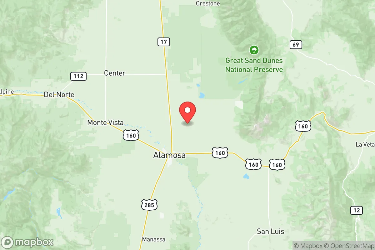
Alamosa County, Colorado, offers a distinctive strategic profile for relocators prioritizing resilience and self-sufficiency, anchored by its remote high-desert location in the San Luis Valley. Positioned roughly 200 miles southwest of Colorado Springs and 230 miles northeast of Albuquerque, the county benefits from significant geographic isolation while maintaining access to regional infrastructure via U.S. Highway 160 and U.S. Highway 285. This combination of remoteness and connectivity makes Alamosa a viable base for those seeking to balance disaster readiness with practical livability, though its unique environmental and logistical constraints demand careful consideration.
Geographic position and natural advantages for resilience
Alamosa County sits at an elevation of approximately 7,500 feet within the expansive San Luis Valley, a high-altitude basin ringed by the Sangre de Cristo Mountains to the east and the San Juan Mountains to the west. This topography provides natural defensibility: the valley floor is open and visible, while the surrounding mountain passes—such as La Veta Pass to the east and Wolf Creek Pass to the west—create chokepoints that could slow or deter movement during a crisis. The county’s distance from major metropolitan areas reduces exposure to cascading failures from urban grid collapse, civil unrest, or infrastructure breakdowns. The nearest city of significant size is Pueblo, roughly 120 miles northeast, while the closest major military installation is Fort Carson near Colorado Springs, approximately 150 miles away—far enough to avoid direct fallout from a base-targeting event but close enough to potentially draw displaced populations. Alamosa itself, the county seat and only incorporated city, has a population of around 10,000, with the entire county numbering roughly 16,000 residents. This low population density means less competition for resources in a crisis, though it also means fewer local supply chains and emergency services.
Risks, exposures, and proximity to fallout-relevant landmarks
While Alamosa County’s isolation is a strength, it is not immune to risks. The region sits near the Rio Grande Rift, a geologically active zone, though seismic activity is generally low-magnitude and infrequent. The greater concern is man-made exposure: the San Luis Valley hosts the Great Sand Dunes National Park and Preserve, a natural landmark that draws tourists but poses no direct threat. More critically, the valley contains the San Luis Valley Regional Airport (ALS) near Alamosa, a general aviation facility that could become a target in a conflict scenario, though its strategic value is limited. The nearest high-value infrastructure includes the Los Alamos National Laboratory in New Mexico, roughly 130 miles south, and the Pueblo Chemical Depot, about 120 miles northeast—both potential fallout-relevant landmarks. However, prevailing winds in the valley typically flow from west to east, meaning airborne contaminants from these sites would likely bypass Alamosa County. The county’s agricultural economy relies on groundwater from the confined Ogallala Aquifer and surface water from the Rio Grande, which originates in the San Juan Mountains. This water supply is vulnerable to drought and over-allocation, a growing concern in the arid West. Wildfire risk is moderate, with the valley floor being too dry for dense forest but the surrounding mountains posing a seasonal threat. Flooding is rare due to the arid climate, though spring snowmelt can cause localized issues near the Rio Grande.
Practical resilience for a relocator: food, water, energy, and defensibility
For a relocator focused on self-sufficiency, Alamosa County offers a mixed picture. Water is the most critical resource: the valley’s agricultural heritage means irrigation infrastructure is well-developed, but groundwater levels have declined steadily due to decades of pumping for potato, barley, and alfalfa farming. New wells require permits from the Colorado Division of Water Resources, and residential water rights are tied to the local municipality or private wells. The Rio Grande provides surface water, but its flow is subject to interstate compacts with New Mexico and Texas, meaning allocations can be cut during drought. Food production is viable: the valley’s short growing season (roughly 100 frost-free days) limits crops to cold-hardy varieties like potatoes, quinoa, and hay, but local farms and farmers’ markets in Alamosa and nearby Monte Vista provide fresh produce. Raising livestock—cattle, sheep, or goats—is feasible given the ample grazing land, though winter feeding requires stored hay. Energy resilience is moderate: the county is served by San Luis Valley Rural Electric Cooperative, which draws power from the grid, but solar potential is excellent due to over 300 days of sunshine annually. Off-grid solar systems with battery storage are a practical investment, though winter snow can reduce output. Natural gas is available in Alamosa but not in rural areas; propane is the common alternative. Defensibility is a double-edged sword: the open valley floor offers clear sightlines for surveillance but little cover, while the surrounding mountains provide retreat options for those with backcountry skills. The county’s small population and lack of major industry mean it is unlikely to be a primary target, but its isolation also means law enforcement response times can be long—the Alamosa County Sheriff’s Office covers 723 square miles with a limited staff. Community cohesion is strong, with a culture of mutual aid among ranching families, but newcomers should invest in building local relationships before a crisis.
Overall, Alamosa County presents a viable but demanding strategic option for the resilience-minded relocator. Its geographic isolation, low population density, and access to water and agricultural land are genuine advantages, offset by the risks of drought, limited growing season, and distance from specialized medical care and supply chains. The county is best suited for individuals or families willing to invest in off-grid infrastructure, develop local networks, and adapt to a high-altitude, semi-arid environment. For those who prioritize self-sufficiency over convenience and are prepared for the logistical challenges of remote living, Alamosa County offers a defensible, low-profile base in the heart of the Rocky Mountain West.

* Values derived from national, state, county, city and local statistics and may differ in a specific area. Last updated: 2026-07-10T08:40:33.000Z
Narrative content on this page is AI-generated and may contain mistakes. Verify any details that matter before acting on them.
ReloMaps may earn a commission from affiliate links at no extra cost to you.

