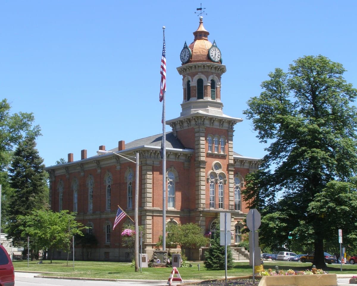
Photo: Wikipedia
Strategic Assessment of Chardon, OH
Meaningful friction. Expect exposure to either population pressure, blast zones, or natural disaster risk. Consider buying a retreat property.
What does the Strategic Assessment tell us?
Our Strategic Assessment grades tactical survivability of an area. Major population centers, military targets, fallout zones, natural disasters, and border exposure all drive risk — lower exposure means a more defensible position in a crisis.
This is heavily inspired by Joel Skousen's Strategic Relocation book. Highly recommended you checkout the book ($)What does this tell us?
Our Strategic Assessment grades tactical survivability of an area. Major population centers, military targets, fallout zones, natural disasters, and border exposure all drive risk — lower exposure means a more defensible position in a crisis.
This is heavily inspired by Joel Skousen's Strategic Relocation book. Highly recommended you checkout the book ($)Strategic Pillars

Key Distances
Regional Safe Places
Below is our recommended "safe zones" in Ohio and the surrounding area based on our strategic heuristics. For most people, it's unrealistic to live in a “safe zone” full-time due to work, family or other personal reasons. They tend to be more rural. However, many of these areas are perfect for second homes and retreat properties that double as a vacation home or even a short-term rental.

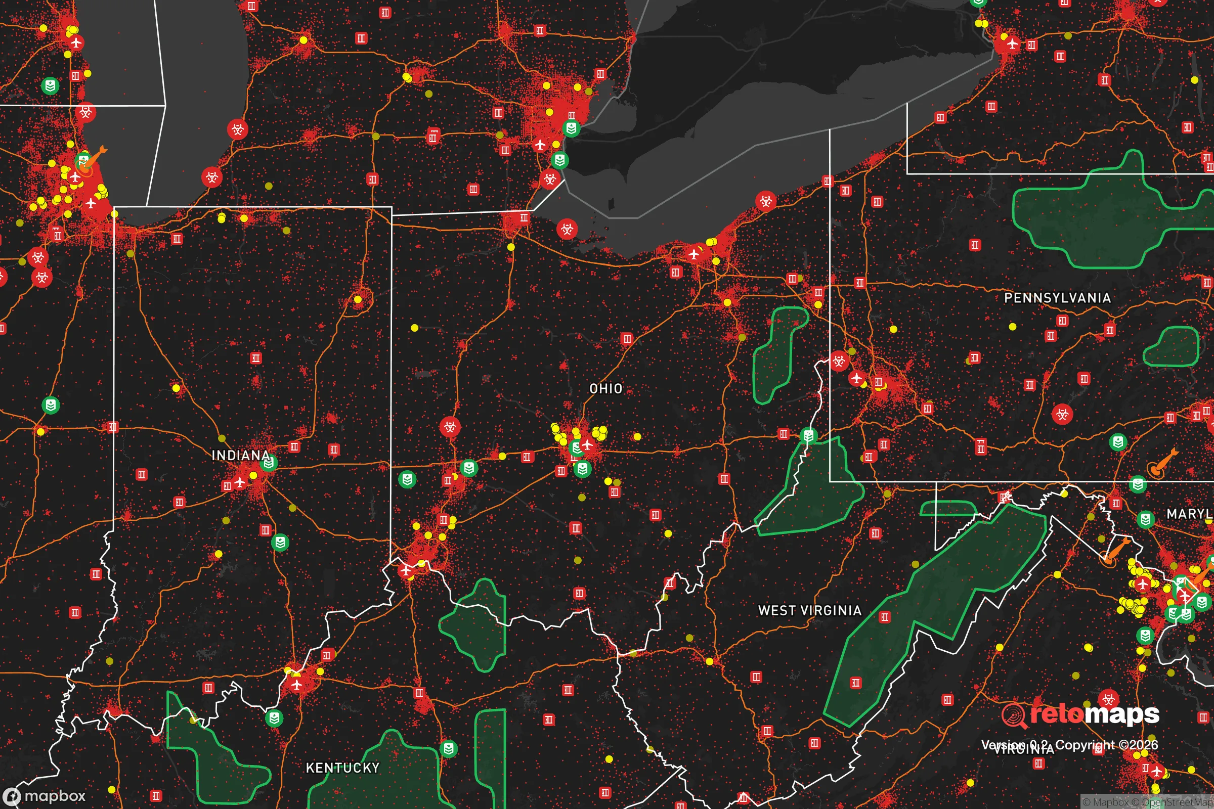


Important Note: For informational purposes only. This does not mean nothing bad ever happens in the green zones. Please use common sense. This is based on public data and modeled with AI. We tried to take a conservative approach but mistakes happen. We update this regularly as new information becomes available.
Solar Generator Recommendations
Backup power matters more here than in safer locations. We've picked three solar generators across budgets and capacity tiers — start with the budget unit if you only need a few essentials, or step up if you want to run a fridge and HVAC for days at a time.

Jackery Portable Power Station Explorer 300
Budget OptionPower on the Go: Weighing only 11 lbs, it's convenient to set up and store with book-sized foldable solar panels

BLUETTI Portable Power Station AC180
Designed for both indoor and outdoor scenarios, AC180 is highly capable as it has a robost capacity and continuous output power.

EF ECOFLOW DELTA Pro Ultra Power Station
Upgraded PickEcoFlow DELTA Pro Ultra is a whole-home energy system designed to grow with your family. Integrated with the Smart Home Panel 2, it scales to meet your evolving energy needs — keeping your home powered, intelligent, and secure through every stage of life.
We earn a commission, at no additional cost to you.
Strategic Assessment Analysis
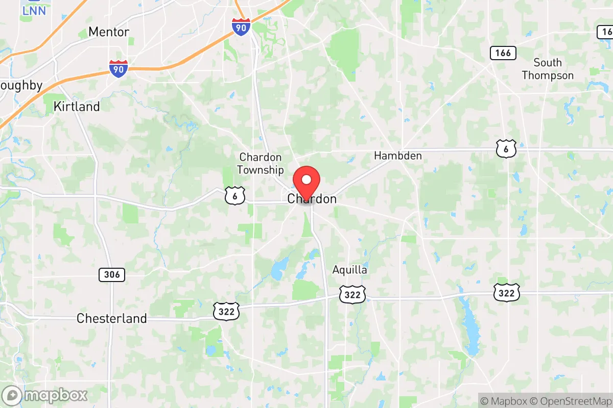
Chardon, Ohio, offers a strategic blend of small-town resilience and proximity to the Great Lakes' freshwater resources, making it a noteworthy option for those prioritizing disaster readiness and self-sufficiency. Situated in Geauga County, roughly 40 miles east of Cleveland, the area benefits from being far enough from major urban centers to avoid the worst of their vulnerabilities, yet close enough to access critical supplies and medical infrastructure when needed. This positioning, combined with the region's natural topography and lower population density, provides a foundation for a relocation strategy focused on long-term stability and preparedness.
Geographic position and natural advantages for long-term stability
Chardon's location on the Appalachian Plateau, at an elevation of roughly 1,200 feet, gives it a distinct topographical advantage over the surrounding lowlands. This higher ground reduces the risk of flooding from the nearby Chagrin River and its tributaries, a hazard that affects many communities in the broader region. The area's rolling hills and mixed hardwood forests also provide natural cover and defensibility, offering visual and physical barriers that can be leveraged for security. The proximity to Lake Erie, about 20 miles north, is a double-edged sword: it provides a massive, renewable freshwater source and moderates extreme temperatures, but it also places Chardon within the lake-effect snow belt, which can produce heavy snowfall and disrupt travel for days at a time. For a relocator, this means investing in reliable winter transportation and backup heating is not optional—it's a baseline requirement. The region's deep topsoil and moderate growing season (roughly 150 frost-free days) support small-scale agriculture, though the clay-heavy soil requires amendment for serious food production. Overall, the natural advantages here are real but conditional: the land offers defensibility and water access, but the climate demands preparation.
Risk exposure: natural hazards and proximity to fallout-relevant infrastructure
While Chardon avoids the worst of coastal storm surges and seismic activity, it is not without risks. The primary natural threats are winter storms, which can dump 80-100 inches of snow annually, and occasional severe thunderstorms that bring damaging winds and hail. Tornadoes are possible but less frequent than in the plains, with Geauga County averaging one or two weak events per decade. The more significant concern for a disaster-readiness audience is man-made risk. Chardon sits roughly 40 miles from the Perry Nuclear Power Plant, located on Lake Erie near Painesville. While the plant has a solid safety record, a major incident—whether from equipment failure, sabotage, or a direct attack—could place Chardon within the 50-mile ingestion exposure zone. Prevailing winds from the west-northwest would carry airborne contaminants toward the eastern suburbs, including Chardon, in a worst-case scenario. Additionally, the area's proximity to Cleveland's industrial and transportation hubs—including rail lines carrying hazardous materials, refineries, and the Cleveland Hopkins International Airport—introduces a moderate risk of industrial accidents or targeted disruptions. For the strategic relocator, these risks are manageable but not negligible. Stockpiling potassium iodide, maintaining a sealed safe room, and having a pre-planned evacuation route south or east (toward the Appalachian foothills) are prudent measures. Chardon's distance from major military installations and high-value government targets is a net positive, reducing the likelihood of being a primary strike zone in a conflict scenario.
Practical resilience: food, water, energy, and defensibility for a relocator
Chardon's practical resilience is a mixed picture that rewards preparation. Water is the strongest asset: the area sits atop the Mahoning River and Chagrin River watersheds, with abundant groundwater accessible via wells. Many rural properties already have private wells, and the county's water table is reliable even during drought. For those on municipal water, the Geauga County Water System draws from Lake Erie, which is a secure source but vulnerable to contamination or pumping failures. A backup well or rainwater catchment system is a wise investment. Food resilience is moderate. Geauga County has a strong agricultural tradition, with numerous farms, orchards, and farmers' markets within a 15-minute drive. The Amish and Mennonite communities in nearby Middlefield (about 12 miles southeast) provide a robust local food network, including grain mills, dairy, and meat processing that operates outside the industrial supply chain. For a relocator serious about self-sufficiency, establishing relationships with these communities is a strategic move. However, the short growing season and clay soil limit year-round production; a greenhouse or hoop house is essential for winter food security. Energy resilience is a weak point. The regional grid is aging and prone to outages during winter storms. Natural gas is widely available for heating, but a power outage can still disrupt well pumps, furnaces, and refrigeration. Solar potential is moderate—the area averages 160 sunny days per year, below the national average—but a properly sized off-grid solar array with battery storage can cover basic needs, especially if paired with a backup generator running on propane or diesel. Defensibility is good but not fortress-level. The rolling terrain and forest cover provide natural concealment, and the low population density (roughly 95 people per square mile in Geauga County) means fewer neighbors to compete with for resources. However, the area is not remote: major highways like US-6 and SR-44 provide easy access, which is an advantage for supply runs but a vulnerability in a widespread collapse scenario. A relocator should prioritize a property with a long driveway, good sightlines, and a reliable water source, ideally on a dead-end road or cul-de-sac.
The overall strategic picture for Chardon is one of conditional security. It offers genuine advantages—abundant freshwater, defensible terrain, a strong local food network, and distance from primary target zones—that make it a strong candidate for a relocation focused on disaster readiness. The trade-offs are real: harsh winters, moderate energy resilience, and proximity to a nuclear plant and industrial corridors require active preparation rather than passive reliance. For a relocator willing to invest in winterization, backup power, and community integration with local agricultural networks, Chardon provides a stable, defensible base that balances access to resources with a lower risk profile than closer-in suburbs. It is not a bug-out location in the wilderness sense, but a functioning small town with the infrastructure and community fabric to support a prepared household through most scenarios short of a direct nuclear strike on Cleveland. For the strategic-minded relocator, that is a solid foundation to build upon.

* Values derived from national, state, county, city and local statistics and may differ in a specific area. Last updated: 2026-06-16T09:56:04.000Z
Narrative content on this page is AI-generated and may contain mistakes. Verify any details that matter before acting on them.
ReloMaps may earn a commission from affiliate links at no extra cost to you.

