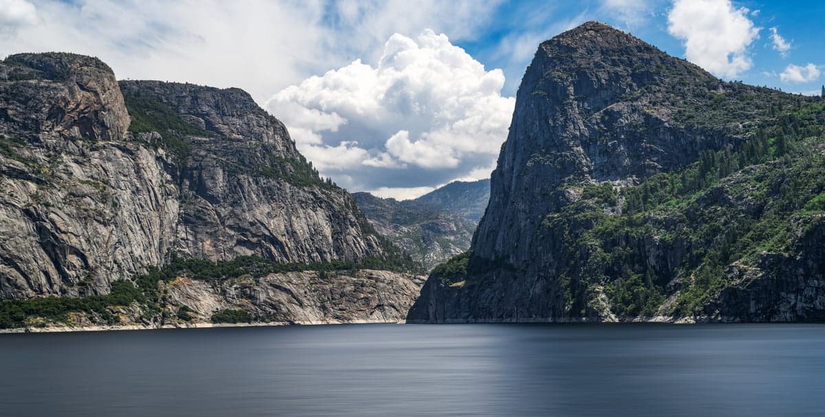
Photo: Wikipedia
Strategic Assessment of Tuolumne County
Workable tactical position. Some exposure to population density or targets, but generally defensible in a crisis.
What does the Strategic Assessment tell us?
Our Strategic Assessment grades tactical survivability of an area. Major population centers, military targets, fallout zones, natural disasters, and border exposure all drive risk — lower exposure means a more defensible position in a crisis.
This is heavily inspired by Joel Skousen's Strategic Relocation book. Highly recommended you checkout the book ($)What does this tell us?
Our Strategic Assessment grades tactical survivability of an area. Major population centers, military targets, fallout zones, natural disasters, and border exposure all drive risk — lower exposure means a more defensible position in a crisis.
This is heavily inspired by Joel Skousen's Strategic Relocation book. Highly recommended you checkout the book ($)Strategic Pillars

Key Distances
Strategic Assessment Analysis
For the relocation researcher prioritizing long-term resilience and self-sufficiency, Tuolumne County, California, presents a compelling but nuanced profile. Nestled in the central Sierra Nevada, this county of roughly 55,000 residents is anchored by the historic Gold Rush towns of Sonora and Jamestown, offering a strategic balance of remote sanctuary and practical accessibility. Its location—a two-hour drive from Sacramento and three-and-a-half from the San Francisco Bay Area—provides meaningful separation from major metropolitan vulnerabilities while still allowing for supply runs or professional connections when necessary. The county’s decades-old identity as a conservative, rural stronghold also aligns well with a mindset prioritizing self-reliance, limited government oversight, and community-based preparedness.
Geographic position and natural defensive advantages of the Sierra Nevada foothills
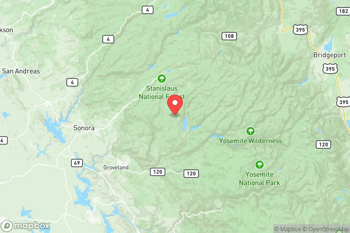
Tuolumne County’s greatest strategic asset is its geography. The county spans from the gold country foothills near Sonora at roughly 1,800 feet elevation, climbing into the high-altitude wilderness of the Stanislaus National Forest and the western edge of Yosemite National Park. This transition zone offers multiple defensive advantages: elevation that provides natural drainage and reduces flood risk, rugged terrain that limits large-scale vehicle access to only a few primary routes (Highway 108, Highway 120, and Highway 49), and abundant natural barriers in the form of canyons, rivers, and granite outcroppings. These features make the area inherently harder to reach—a quality that inversely correlates with exposure to coastal population surges, civil unrest, or cascading infrastructure failures originating from the urban centers below. The New Melones Lake, a massive 2,400 surface-acre reservoir, sits at the county's southern edge, providing both irrigation and a potential emergency water source. The proximity to Yosemite also grants access to a vast, sparsely populated wilderness corridor that stretches east across the Sierra crest, offering a potential retreat path if needed.
Risk exposures and proximity to fallout-relevant landmarks in the Central Valley corridor
No strategic assessment is complete without acknowledging the downsides. Tuolumne County sits directly upwind and topographically above the California Central Valley, one of the world’s most productive agricultural regions—and a zone with its own set of vulnerabilities. Large agricultural processing facilities, including major nut and fruit packing plants near Modesto and Oakdale (about 45 minutes west), could become targets or collapse points during a wider disruption. More critically, the county is within roughly a two-hour drive of the San Onofre Nuclear Generating Station's decommissioned site and the Diablo Canyon Power Plant—though realistically, prevailing winds from the Pacific generally push any potential fallout away from the Sierra. A more proximate concern is the Moccasin Powerhouse, a hydroelectric facility within the county that was historically part of the electrical grid serving the Bay Area. While not a catastrophic target like a nuclear plant, its disruption would immediately affect local power reliability. The county also sits along the Hayward Fault’s eastern splays, meaning a major seismic event could damage roads (especially Highway 108 through the narrow Tuolumne River canyon) and strand communities. However, compared to urban areas, the low population density significantly reduces the human cost of such events. The primary risk for a relocator is wildfire. The 2018 Don Pedro Fire near Lake Don Pedro and the 2021 River Fire, which burned near Groveland, demonstrate that homes in the wildland-urban interface face annual danger. A defensible space perimeter, metal roofing, and a neighborhood firewise plan are non-negotiable here.
Practical day-to-day resilience: food, water, energy, and defensibility on a rural parcel
For the self-sufficient relocator, Tuolumne County offers high marks in practical resilience, but with specific caveats. Water is the strongest card: the county is home to the headwaters of the Tuolumne River, one of California's most reliable snowpack-fed watersheds. Residents with a permitted well in the lower foothill zones (under 3,000 feet) often have access to abundant groundwater, provided they don't drill into the fractured granite of the higher elevations. The Tuolumne Utilities District serves Sonora and Jamestown with treated water from the South Fork of the Tuolumne, while many unincorporated areas rely on private wells or spring boxes. For food, the county has a small but growing agricultural base—olive orchards, vineyards, and cattle ranches near Chinese Camp and Big Oak Flat—but the area is not a food-surplus producer like the Central Valley. Serious self-sufficiency requires establishing a substantial home garden and possibly small livestock, which most foothill parcels allow. Energy is a mixed picture. PG&E provides grid electricity, which is notably unreliable in winter storms and fire season when Public Safety Power Shutoffs (PSPS) can last several days. Solar with battery storage is a wise investment; annual sun exposure is excellent for panels, and state incentives still apply. Propane for heat and cooking is common and stored in tanks, reducing dependence on the grid. For defensibility, the terrain itself provides the first line. Most parcels are accessed via long, narrow driveways that can be easily observed or secured. The county’s gun culture is robust—Sonora has multiple shooting ranges and gun shops—and law enforcement response times in rural areas (outside the Sonora city limits) typically range 15–30 minutes, meaning household security falls to the owner. Neighborhoods are often composed of “don’t tread on me” types who look out for each other, making social cohesion a real security asset. The one major gap is medical: Adventist Health Sonora is a small, 50-bed critical access hospital that can handle trauma stabilization but not complex surgeries. For serious emergencies, a medevac to Modesto or Sacramento is often required, which is a vulnerability in a widespread disaster scenario.
The overall strategic picture for Tuolumne County is that of a solid "second-tier" relocation choice for the resilience-minded conservative. It does not offer the extreme remoteness of far northern California or Idaho, but it compensates with a stronger local economy, better access to supplies (Hardware stores, lumber yards, and farm supply in Sonora and Twain Harte are well-stocked), and a functioning community infrastructure that hasn't been hollowed out by depopulation. The wildfire and seismic risks are real but manageable with proper site selection and building choices. Its proximity to the Bay Area—while a negative in a major urban collapse scenario—means that during normal times, the county remains economically viable and culturally connected. For the single individual or family who wants to be seriously prepared but not completely isolated, Tuolumne County represents a rational compromise: defensible by geography, exposed mainly to natural hazards rather than man-made ones, and embedded in a community that already values the same self-sufficient ethos you are bringing with you.

* Values derived from national, state, county, city and local statistics and may differ in a specific area. Last updated: 2026-09-14T05:28:19.000Z
Narrative content on this page is AI-generated and may contain mistakes. Verify any details that matter before acting on them.
ReloMaps may earn a commission from affiliate links at no extra cost to you.

