
Photo: Wikipedia
Strategic Assessment of San Bernardino County
Multiple tactical vulnerabilities. Population density, target proximity, or disaster risk are likely compounding. A retreat property and exit planning is required.
What does the Strategic Assessment tell us?
Our Strategic Assessment grades tactical survivability of an area. Major population centers, military targets, fallout zones, natural disasters, and border exposure all drive risk — lower exposure means a more defensible position in a crisis.
This is heavily inspired by Joel Skousen's Strategic Relocation book. Highly recommended you checkout the book ($)What does this tell us?
Our Strategic Assessment grades tactical survivability of an area. Major population centers, military targets, fallout zones, natural disasters, and border exposure all drive risk — lower exposure means a more defensible position in a crisis.
This is heavily inspired by Joel Skousen's Strategic Relocation book. Highly recommended you checkout the book ($)Strategic Pillars

Key Distances
Strategic Assessment Analysis
San Bernardino County offers a compelling mix of strategic depth and practical challenges for those prioritizing resilience and self-sufficiency. As the largest county in the contiguous United States, it spans from the densely populated urban edge of the Inland Empire eastward into the vast Mojave Desert, creating a unique buffer zone between major metropolitan targets and more remote, defensible terrain. For a relocator weighing disaster readiness, the county’s sheer size and geographic diversity provide options that few other regions can match, but those options come with distinct trade-offs in exposure and logistics.
Geographic position and natural advantages for long-term security
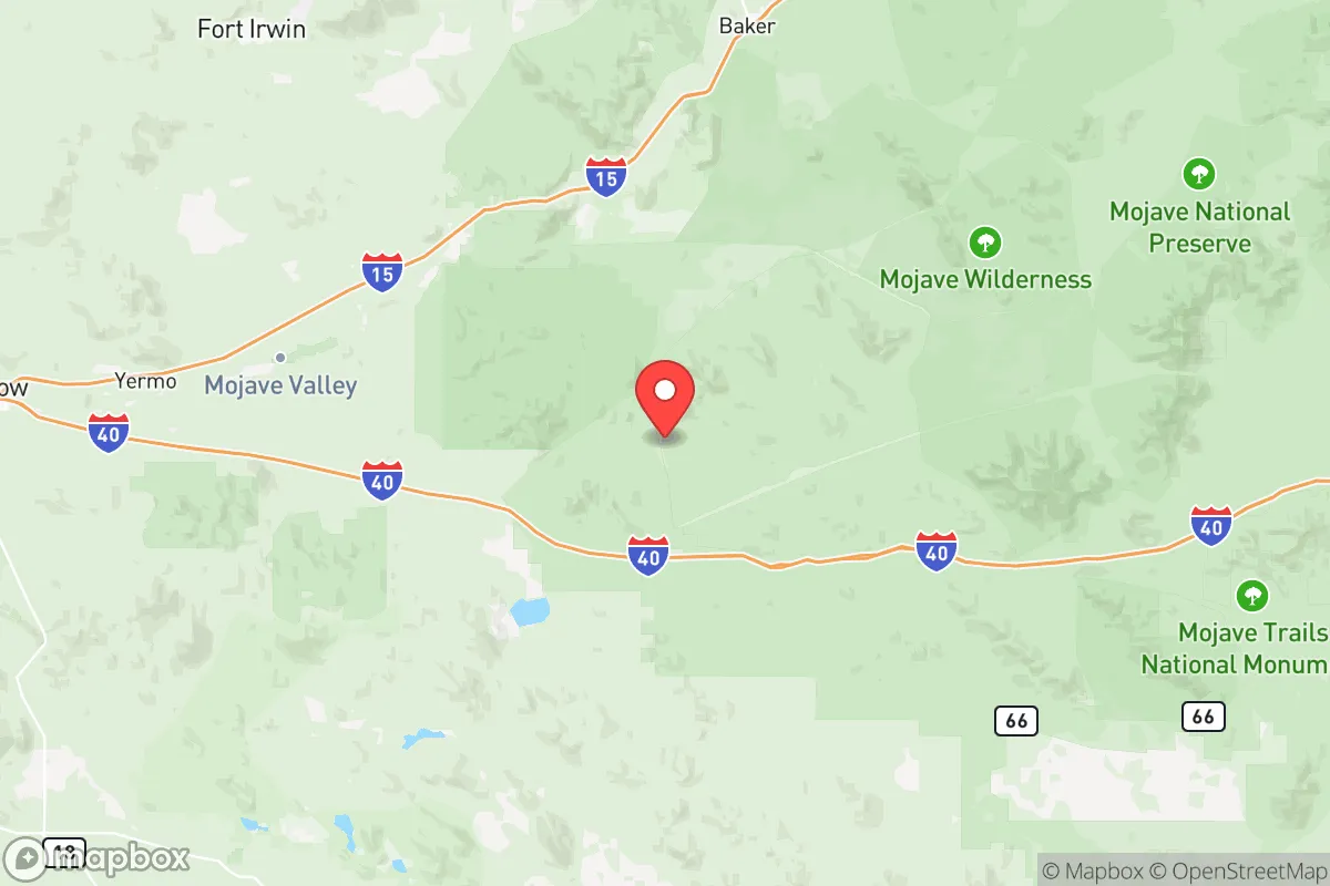
The county’s primary strategic asset is its physical scale and internal variety. The San Bernardino Mountains and the Mojave Desert create natural barriers that separate the high-risk Los Angeles Basin from the county’s eastern reaches. Communities like Twentynine Palms and Needles sit hundreds of miles from the coast, far from the dense population centers and critical infrastructure that would be primary targets in a major conflict or terrorist event. The Marine Corps Air Ground Combat Center in Twentynine Palms is a significant military installation, which could be a double-edged sword — it provides a potential security presence and logistical capability, but also makes the immediate area a higher-priority target than a purely civilian town. The Mojave National Preserve and the San Bernardino National Forest offer vast, sparsely populated areas that could serve as retreat zones or resupply corridors. Water is a limiting factor in the desert regions, but the mountain communities like Big Bear Lake and Lake Arrowhead have access to surface water and cooler climates, which are significant advantages for long-term habitation without reliance on imported resources.
Risks, exposures, and proximity to fallout-relevant landmarks
The western half of San Bernardino County is a different story entirely. The cities of San Bernardino, Ontario, and Fontana sit directly in the path of any major event affecting the Los Angeles and Orange County metro areas. The Port of Los Angeles and Port of Long Beach — the busiest container ports in the Western Hemisphere — are roughly 60 miles southwest, making them prime naval or terrorist targets. The San Onofre Nuclear Generating Station, though decommissioned, still sits on the coast about 70 miles south and contains spent fuel that could become a radiological hazard if compromised. The county itself hosts the Mojave Desert Logistics Hub and major rail yards in Colton and Bloomington, which are critical nodes in the national supply chain and thus potential targets for disruption. The Kaiser Steel mill site in Fontana is historically significant but no longer operational; however, the region still has heavy industrial capacity that could be targeted. Wildfire risk is severe in the mountain and foothill communities, and the San Andreas Fault runs through the western part of the county, meaning a major earthquake could simultaneously disrupt power, water, and transportation corridors for weeks or months. For a relocator, the key takeaway is that the western third of the county shares many of the same vulnerabilities as coastal California, while the eastern two-thirds are more isolated but face extreme heat, limited water, and long supply lines.
Practical resilience for a relocator: food, water, energy, and defensibility
Self-sufficiency in San Bernardino County requires careful location selection. In the mountain communities like Big Bear Lake and Crestline, residents have access to forest resources, surface water, and cooler temperatures that make gardening and livestock more feasible. The growing season is short at higher elevations, but the availability of timber for heating and construction is a real advantage. In the desert east, water is the hard constraint — most communities rely on the Mojave River aquifer or imported water from the California Aqueduct, both of which are vulnerable to drought and infrastructure failure. Solar energy is abundant year-round in the desert, making off-grid power generation practical with sufficient battery storage. The Victorville and Hesperia areas have seen growth in small-scale agriculture and farmers' markets, but the soil is poor and irrigation is expensive. Defensibility varies widely: the mountain communities have natural chokepoints on access roads, but those same roads can become impassable in winter or during a wildfire evacuation. The desert offers wide-open sightlines and few neighbors, but also limited cover and extreme temperatures that make sustained outdoor activity dangerous. For a family or individual, the most practical approach is to target a mid-elevation property in the San Bernardino Mountains or the Morongo Basin, with a well, solar panels, and a greenhouse, while maintaining a secondary supply cache in a more remote desert location. The county’s sheer size means that a well-prepared relocator can find a niche that balances access to resources with distance from high-risk zones.
The overall strategic picture for San Bernardino County is one of high variance. It is not a uniformly safe or resilient area — the western urban corridor is as exposed as any part of Southern California, and the desert east presents harsh living conditions that require significant preparation. However, for a relocator who is willing to trade convenience for security and invest in off-grid infrastructure, the county offers some of the best options in the state for long-term survival. The key is to avoid the trap of thinking that being "in the same county" as a major city provides the same risks — the distance between San Bernardino and Needles is greater than the distance between New York City and Philadelphia. Choose your specific location carefully, prioritize water and access routes, and treat the county as a strategic buffer rather than a single homogeneous zone. For those who do their homework, San Bernardino County can be a strong base for resilience; for those who don't, it can be a harsh and unforgiving place to learn hard lessons.

* Values derived from national, state, county, city and local statistics and may differ in a specific area. Last updated: 2026-07-12T09:18:14.000Z
Narrative content on this page is AI-generated and may contain mistakes. Verify any details that matter before acting on them.
ReloMaps may earn a commission from affiliate links at no extra cost to you.

