
Photo: Wikipedia
Strategic Assessment of Los Angeles County
High tactical risk. This location is likely close to major population centers, strategic targets, or sits in a high-disaster corridor. A retreat property and careful exit planning is required.
What does the Strategic Assessment tell us?
Our Strategic Assessment grades tactical survivability of an area. Major population centers, military targets, fallout zones, natural disasters, and border exposure all drive risk — lower exposure means a more defensible position in a crisis.
This is heavily inspired by Joel Skousen's Strategic Relocation book. Highly recommended you checkout the book ($)What does this tell us?
Our Strategic Assessment grades tactical survivability of an area. Major population centers, military targets, fallout zones, natural disasters, and border exposure all drive risk — lower exposure means a more defensible position in a crisis.
This is heavily inspired by Joel Skousen's Strategic Relocation book. Highly recommended you checkout the book ($)Strategic Pillars

Key Distances
Strategic Assessment Analysis
Los Angeles County presents a complex strategic picture for the relocation-minded reader focused on resilience and self-sufficiency. While its sheer size and economic power offer certain logistical advantages, the county’s dense population, heavy reliance on imported resources, and exposure to both natural and man-made risks make it a high-risk, high-reward proposition for those prioritizing disaster readiness. The county’s geographic position on the Pacific Rim provides unique access to maritime trade and a moderate climate, but these benefits are counterbalanced by severe vulnerabilities that require careful, sober assessment.
Geographic position and natural advantages for long-term stability
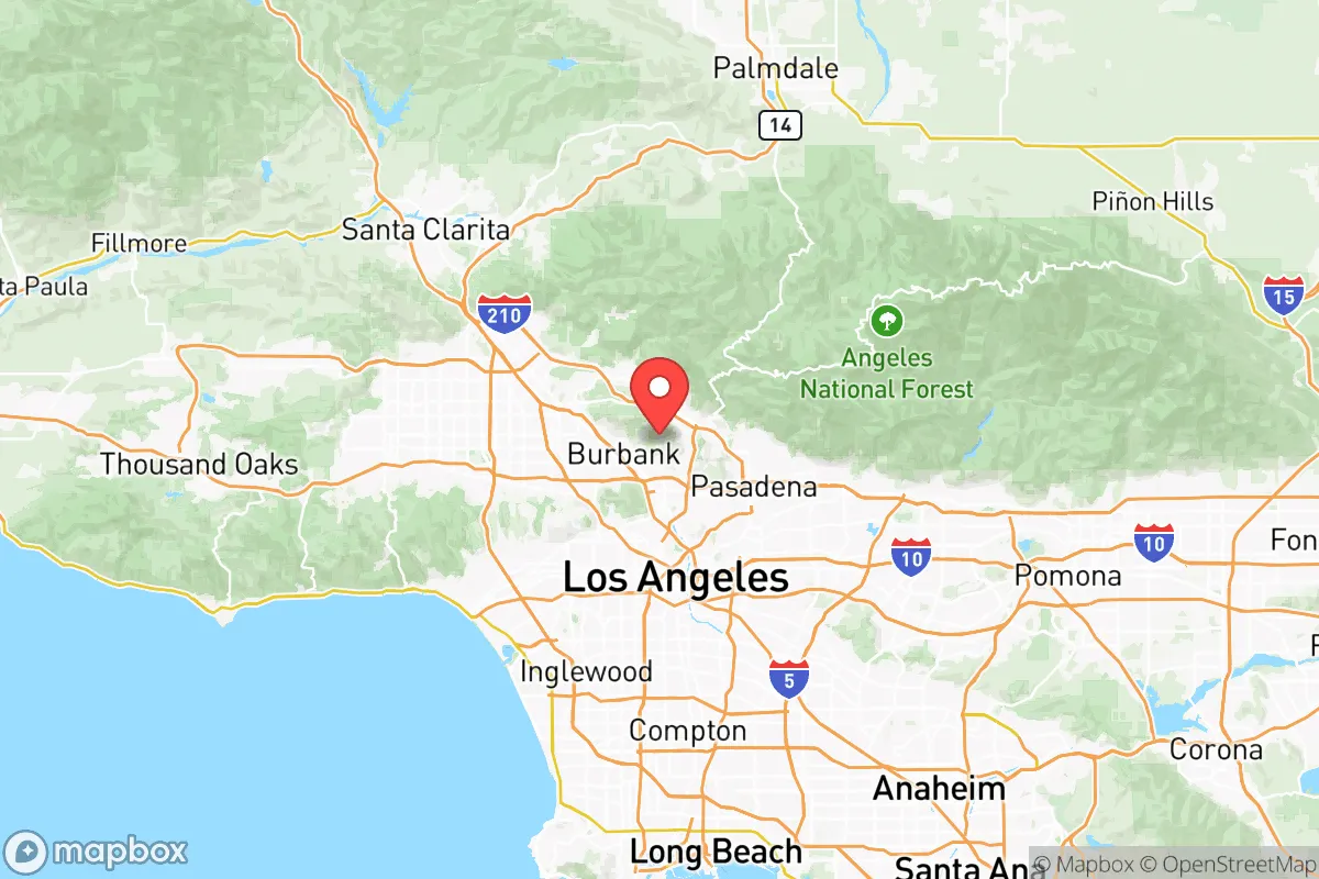
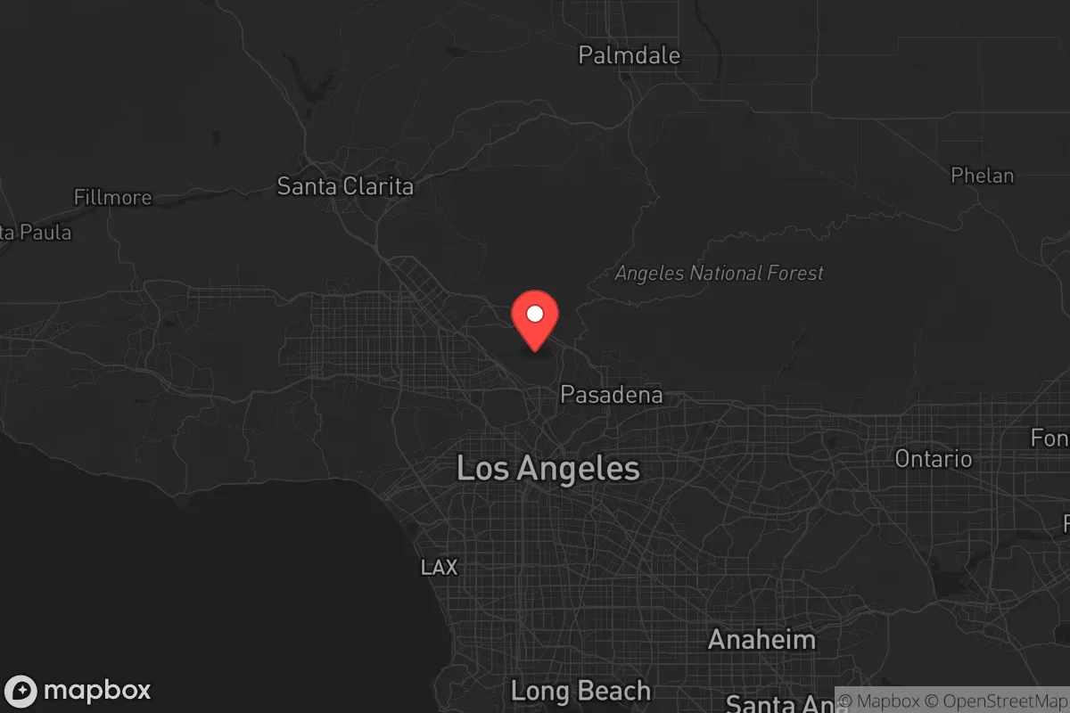
Los Angeles County spans over 4,000 square miles, from the Pacific coastline to the San Gabriel Mountains, creating a diverse range of microclimates and terrains. The county’s coastal areas, including Santa Monica and Long Beach, benefit from a Mediterranean climate that moderates temperature extremes, reducing the need for heavy heating or cooling infrastructure. The inland valleys, such as the San Fernando Valley and the Antelope Valley (Palmdale and Lancaster), offer more affordable land and a slightly more continental climate, which can be advantageous for independent food production. The county’s proximity to the Port of Los Angeles and Port of Long Beach—the busiest port complex in the Western Hemisphere—means that in a non-crisis scenario, supply chains for goods, fuel, and materials are robust. However, this same concentration makes the ports a high-value target in any conflict or major disruption. The mountainous areas to the north, including the Angeles National Forest, provide potential retreat zones and watershed sources, but access is limited by a few key highways (Interstate 5 and the 14 Freeway), which are choke points during evacuations or emergencies.
Risks, exposures, and proximity to fallout-relevant landmarks
The county’s density and industrial concentration create a high-risk profile for anyone concerned with man-made disasters or targeted events. The Los Angeles Basin is home to the Los Angeles International Airport (LAX), the Port of Los Angeles, and the Port of Long Beach—all critical infrastructure nodes that would be primary targets in a conflict scenario. Additionally, the county contains several oil refineries in the Wilmington and Carson areas, as well as the massive Chevron refinery in El Segundo. These facilities, while economically vital, represent significant hazardous material risks in the event of an accident or attack. The county also hosts the Los Angeles Air Force Base in El Segundo and the Naval Base Ventura County (Point Mugu) just to the west, both of which are strategic military assets. For the relocator, living within a 10- to 20-mile radius of these landmarks means exposure to potential fallout, evacuation chaos, and secondary effects like supply chain disruption. Natural risks are equally serious: the county is seismically active, with the San Andreas Fault running through its northern edge near Palmdale and the Sierra Madre Fault zone affecting the foothill communities. Wildfire risk is extreme in the Santa Monica Mountains, Angeles National Forest, and the Santa Clarita Valley, with recent fires (e.g., the 2020 Bobcat Fire and 2025 Palisades Fire) demonstrating the speed at which suburban areas can be threatened. Flooding and mudslides, particularly after wildfires, are a recurring hazard in areas like Malibu and the San Gabriel foothills.
Practical resilience for a relocator: food, water, energy, and defensibility
For the individual or family seeking self-sufficiency, Los Angeles County presents significant challenges. The county imports roughly 85% of its water from the Colorado River and the State Water Project, making it highly vulnerable to drought, earthquake damage to aqueducts, or political disputes over water rights. Local groundwater basins exist (e.g., the San Fernando Basin and the Central Basin), but they are heavily managed and often contaminated with industrial pollutants. Rainwater harvesting is possible but limited by the region’s low annual rainfall (averaging 15 inches per year in the basin, less in the high desert). Food production is feasible in the Antelope Valley and the Santa Clarita Valley, where larger lots and agricultural zoning exist, but the county’s urban core is almost entirely dependent on trucked-in supplies. Energy infrastructure is relatively robust, with the Los Angeles Department of Water and Power (LADWP) operating a diverse grid that includes natural gas, solar, and hydroelectric sources. However, the grid is aging and prone to Public Safety Power Shutoffs (PSPS) during high-wind events, which can leave neighborhoods without power for days. For defensibility, the county’s population density (over 10 million people) makes it nearly impossible to secure a property against civil unrest or large-scale evacuation. Rural pockets in the far north (e.g., Lake Hughes, Elizabeth Lake) offer more defensible terrain, but they are still within a two-hour drive of downtown Los Angeles, meaning they would be affected by any major regional event. The best options for a relocator focused on resilience would be the high desert communities of the Antelope Valley, where land is cheaper, water is slightly more accessible via wells, and population density is lower, but even there, the proximity to military installations and the San Andreas Fault remains a concern.
Overall, Los Angeles County is a high-risk environment for the strategic relocator. Its economic and logistical strengths are real, but they are concentrated in a densely populated, seismically active, and industrially exposed region. For someone willing to live on the periphery—in the Antelope Valley or the far northern reaches of the county—there are opportunities for a more self-sufficient lifestyle, but the trade-offs include long commutes, limited services, and the ever-present risk of wildfire and earthquake. The county’s resilience is heavily dependent on functioning infrastructure and supply chains, which are fragile in the face of a major disaster. For the reader who prioritizes long-term stability and low exposure to man-made risks, Los Angeles County is likely a poor fit; for those who must be in Southern California for work or family, the strategic play is to locate as far from the urban core and critical infrastructure as possible, while investing heavily in on-site water storage, solar power, and defensible space.

* Values derived from national, state, county, city and local statistics and may differ in a specific area. Last updated: 2026-07-17T02:38:06.000Z
Narrative content on this page is AI-generated and may contain mistakes. Verify any details that matter before acting on them.
ReloMaps may earn a commission from affiliate links at no extra cost to you.

