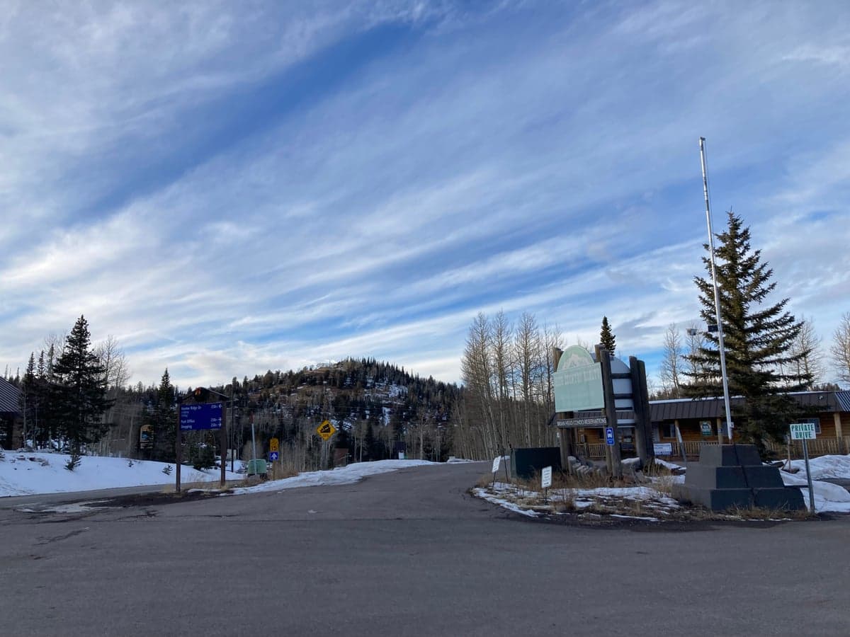
Photo: Wikipedia
Strategic Assessment of Brian Head, UT
Strong survivability profile. Good buffer from population centers, with manageable environmental and tactical risks.
What does the Strategic Assessment tell us?
Our Strategic Assessment grades tactical survivability of an area. Major population centers, military targets, fallout zones, natural disasters, and border exposure all drive risk — lower exposure means a more defensible position in a crisis.
This is heavily inspired by Joel Skousen's Strategic Relocation book. Highly recommended you checkout the book ($)What does this tell us?
Our Strategic Assessment grades tactical survivability of an area. Major population centers, military targets, fallout zones, natural disasters, and border exposure all drive risk — lower exposure means a more defensible position in a crisis.
This is heavily inspired by Joel Skousen's Strategic Relocation book. Highly recommended you checkout the book ($)Strategic Pillars

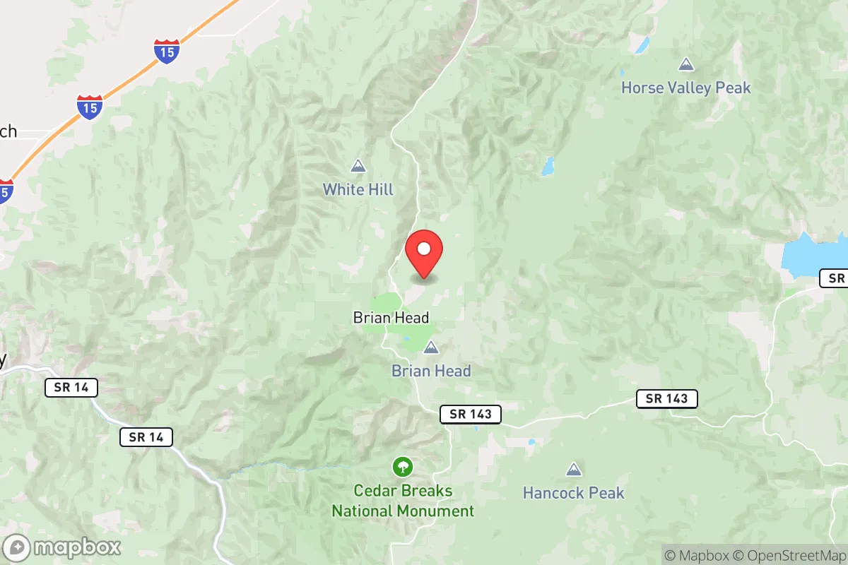
Key Distances
Regional Safe Places
Below is our recommended "safe zones" in Utah and the surrounding area based on our strategic heuristics. For most people, it's unrealistic to live in a “safe zone” full-time due to work, family or other personal reasons. They tend to be more rural. However, many of these areas are perfect for second homes and retreat properties that double as a vacation home or even a short-term rental.


Important Note: For informational purposes only. This does not mean nothing bad ever happens in the green zones. Please use common sense. This is based on public data and modeled with AI. We tried to take a conservative approach but mistakes happen. We update this regularly as new information becomes available.
Solar Generator Recommendations
Backup power matters more here than in safer locations. We've picked three solar generators across budgets and capacity tiers — start with the budget unit if you only need a few essentials, or step up if you want to run a fridge and HVAC for days at a time.

Jackery Portable Power Station Explorer 300
Budget OptionPower on the Go: Weighing only 11 lbs, it's convenient to set up and store with book-sized foldable solar panels

BLUETTI Portable Power Station AC180
Designed for both indoor and outdoor scenarios, AC180 is highly capable as it has a robost capacity and continuous output power.

EF ECOFLOW DELTA Pro Ultra Power Station
Upgraded PickEcoFlow DELTA Pro Ultra is a whole-home energy system designed to grow with your family. Integrated with the Smart Home Panel 2, it scales to meet your evolving energy needs — keeping your home powered, intelligent, and secure through every stage of life.
We earn a commission, at no additional cost to you.
Strategic Assessment Analysis
Brian Head, Utah, sits at roughly 9,800 feet in the high country of Iron County, offering a strategic relocation option for those prioritizing disaster readiness and self-sufficiency. Its elevation, remote location, and low population density provide a natural buffer against many common risks, while its proximity to larger population centers like Cedar City (about 30 miles south) and the broader Las Vegas metro (roughly 200 miles southwest) introduces specific trade-offs for a preparedness-minded individual or family. This assessment weighs the area’s geographic advantages, exposure to natural and man-made threats, and practical resilience factors to give you a grounded, no-fluff picture of what living here actually means for long-term security.
Geographic position and natural advantages for self-sufficiency
Brian Head’s primary strategic asset is its elevation and isolation. Perched on the Markagunt Plateau, the town is surrounded by the Dixie National Forest and Cedar Breaks National Monument, creating a natural buffer of public land that limits dense development and provides a vast, sparsely populated perimeter. This geography makes the area inherently defensible in a collapse scenario—access is funneled through a few key roads, primarily Utah State Route 143, which is a winding two-lane highway that can be easily monitored or blocked if necessary. The surrounding terrain is rugged, with steep canyons and dense pine forests, which would slow any large-scale movement of people or vehicles. For a relocator, this means a lower probability of encountering organized looting or mass migration compared to flatter, more accessible regions. The high elevation also offers a cooler climate than much of the Southwest, reducing heat-related risks and supporting a longer growing season for cold-hardy crops like potatoes, carrots, and kale, though the window is short—typically June through September. Water is a significant advantage: the area receives heavy snowfall (averaging over 350 inches annually), which feeds perennial streams and springs. The nearby Mammoth Creek and the Sevier River headwaters provide reliable surface water, and the deep volcanic soils of the plateau offer good groundwater recharge. For a self-sufficient setup, this means you can gravity-feed water from higher elevations without relying on electric pumps, a critical detail for off-grid living.
Risks, exposures, and proximity to fallout-relevant landmarks
No location is risk-free, and Brian Head has specific vulnerabilities that a serious relocator must weigh. The most immediate natural threat is wildfire. The area is a high-elevation pine forest, and the 2017 Brian Head Fire burned over 71,000 acres, destroying 13 homes and forcing evacuations. This event underscores the reality that the very forest that provides seclusion also carries a seasonal fire risk, particularly in late summer and early fall when dry lightning storms are common. Defensible space around any property is non-negotiable, and you should plan for annual fire mitigation work. Earthquake risk is moderate—the region sits near the Hurricane Fault and the Intermountain Seismic Belt, but major quakes are infrequent. Snow loading is a more practical concern: roofs must be engineered for heavy snow, and road access can be cut for days after major storms. From a man-made risk perspective, Brian Head’s distance from major cities is a double-edged sword. It is far enough from Salt Lake City (about 260 miles) and Las Vegas to avoid direct blast effects or fallout from a nuclear detonation in those metros, but it is within the 200-mile radius where lighter fallout particles could drift depending on wind patterns. The prevailing winds in the region are from the southwest, meaning fallout from a Las Vegas event could potentially reach the area within 6-12 hours. However, the high elevation and rugged terrain would likely cause fallout to be deposited unevenly, with ridges and valleys creating localized hot spots. More concerning is the proximity to the Utah Test and Training Range (UTTR) and the Nevada National Security Site (NNSS), both about 150-200 miles west. These are active military and nuclear testing areas, and while a direct accident is unlikely, they represent a non-zero risk of radiological release. For a relocator, the key takeaway is that Brian Head is not a fallout-free zone, but its distance and terrain offer a much better survival profile than areas within 50 miles of a major city or military target.
Practical resilience for a relocator: food, water, energy, and defensibility
Translating geographic advantages into daily resilience requires hard infrastructure. Water is the strongest suit: with proper catchment and storage, a household can collect thousands of gallons from snowmelt and summer monsoons. A simple system of roof gutters, a first-flush diverter, and a buried cistern can provide year-round supply. The water is naturally soft and low in minerals, but you’ll need to filter for sediment and treat for biological contaminants. Food production is limited by the short growing season and thin, rocky soil. Raised beds with imported soil and a greenhouse or high tunnel are essential for extending the season. Cold-hardy crops like kale, chard, and root vegetables do well, but you cannot rely on year-round outdoor gardening. Hunting and fishing are viable: the area has mule deer, elk, and wild turkey, and nearby Panguitch Lake and the Sevier River offer trout. However, game populations are not unlimited, and overhunting in a crisis would deplete them quickly. Energy is a challenge. The high elevation means solar panels are more efficient (clearer air, less atmospheric scattering), but heavy snow cover can block panels for days. A hybrid system with solar, a small wind turbine (the area has consistent afternoon winds), and a backup propane generator is the most reliable setup. Wood heating is a no-brainer—the forest provides abundant fuel, but you must have a high-efficiency wood stove and a plan for dry storage. Defensibility is excellent for a small group. The town itself has a population of under 100 year-round, meaning you’re unlikely to face a large, organized threat. The single road access (SR-143) can be monitored from multiple high points, and the dense forest provides cover for perimeter security. However, the town’s small size also means limited mutual aid—you cannot rely on neighbors for defense or supplies. You must be self-sufficient in medical care, ammunition, and communications. A ham radio setup is critical, as cell service is spotty and could fail entirely in a crisis.
The overall strategic picture for Brian Head is one of high potential with clear trade-offs. It offers some of the best natural water security and defensible terrain in the Intermountain West, with a low population density that reduces competition for resources. The risks—wildfire, snow isolation, and moderate fallout exposure from distant targets—are manageable with proper planning and infrastructure. For a relocator serious about self-sufficiency, this is not a location you can buy into and then ignore; it demands active preparation, including fire mitigation, water storage, and energy redundancy. But for those willing to put in the work, Brian Head provides a realistic foundation for long-term resilience in a way that few other towns in the region can match. If you’re looking for a place that balances isolation with access to a regional hub (Cedar City is 30 minutes for supplies and medical care), and you’re comfortable with a high-elevation, snow-heavy lifestyle, this area deserves serious consideration. Just don’t expect a walk-in-ready setup—this is a location that rewards effort, not passive ownership.

* Values derived from national, state, county, city and local statistics and may differ in a specific area. Last updated: 2026-07-23T02:22:37.000Z
Narrative content on this page is AI-generated and may contain mistakes. Verify any details that matter before acting on them.
ReloMaps may earn a commission from affiliate links at no extra cost to you.

