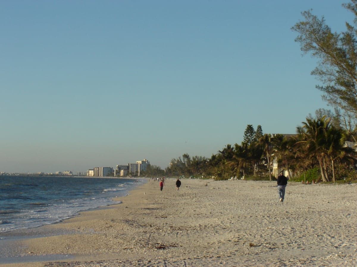
Photo: Wikipedia
Strategic Assessment of Bonita Springs, FL
Meaningful friction. Expect exposure to either population pressure, blast zones, or natural disaster risk. Consider buying a retreat property.
What does the Strategic Assessment tell us?
Our Strategic Assessment grades tactical survivability of an area. Major population centers, military targets, fallout zones, natural disasters, and border exposure all drive risk — lower exposure means a more defensible position in a crisis.
This is heavily inspired by Joel Skousen's Strategic Relocation book. Highly recommended you checkout the book ($)What does this tell us?
Our Strategic Assessment grades tactical survivability of an area. Major population centers, military targets, fallout zones, natural disasters, and border exposure all drive risk — lower exposure means a more defensible position in a crisis.
This is heavily inspired by Joel Skousen's Strategic Relocation book. Highly recommended you checkout the book ($)Strategic Pillars

Key Distances
Regional Safe Places
Below is our recommended "safe zones" in Florida and the surrounding area based on our strategic heuristics. For most people, it's unrealistic to live in a “safe zone” full-time due to work, family or other personal reasons. They tend to be more rural. However, many of these areas are perfect for second homes and retreat properties that double as a vacation home or even a short-term rental.

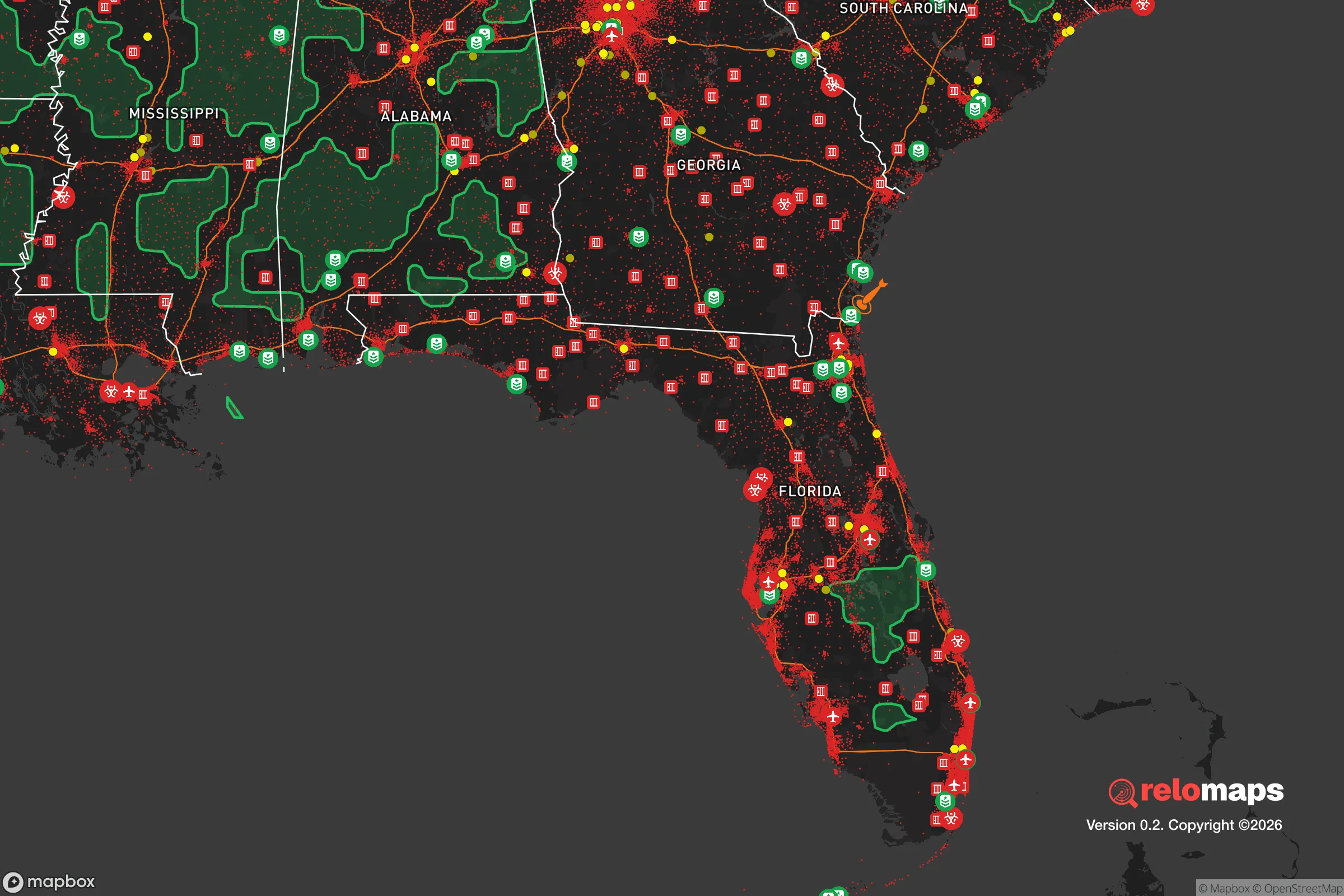


Important Note: For informational purposes only. This does not mean nothing bad ever happens in the green zones. Please use common sense. This is based on public data and modeled with AI. We tried to take a conservative approach but mistakes happen. We update this regularly as new information becomes available.
Solar Generator Recommendations
Backup power matters more here than in safer locations. We've picked three solar generators across budgets and capacity tiers — start with the budget unit if you only need a few essentials, or step up if you want to run a fridge and HVAC for days at a time.

Jackery Portable Power Station Explorer 300
Budget OptionPower on the Go: Weighing only 11 lbs, it's convenient to set up and store with book-sized foldable solar panels

BLUETTI Portable Power Station AC180
Designed for both indoor and outdoor scenarios, AC180 is highly capable as it has a robost capacity and continuous output power.

EF ECOFLOW DELTA Pro Ultra Power Station
Upgraded PickEcoFlow DELTA Pro Ultra is a whole-home energy system designed to grow with your family. Integrated with the Smart Home Panel 2, it scales to meet your evolving energy needs — keeping your home powered, intelligent, and secure through every stage of life.
We earn a commission, at no additional cost to you.
Strategic Assessment Analysis
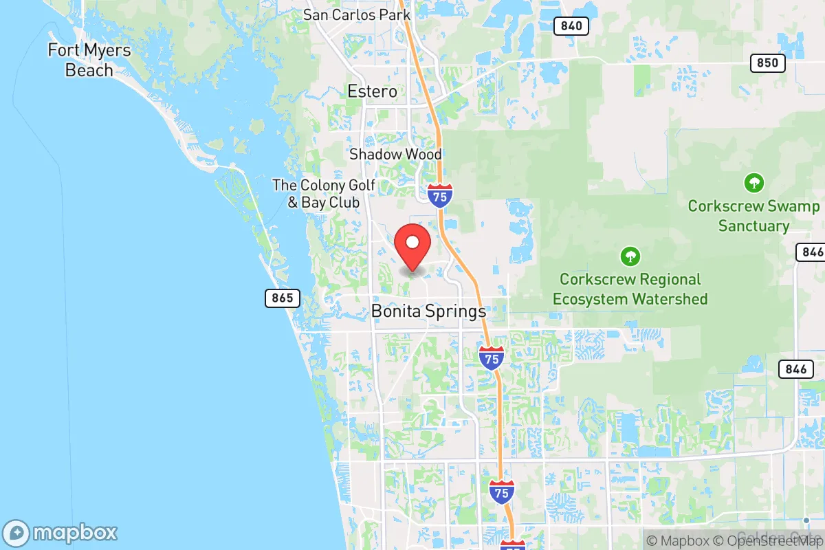
Bonita Springs, Florida, occupies a strategic position along the Gulf Coast that offers a mixed resilience profile for the relocation-minded reader. Its location between Fort Myers and Naples provides access to regional infrastructure while maintaining a lower-density, suburban-to-rural character that can support a degree of self-sufficiency. The area’s resilience is defined by its proximity to the Everglades and the Gulf of Mexico, but also by its exposure to hurricane storm surge, rising sea levels, and the logistical vulnerabilities of being within a two-hour drive of a major metropolitan area like Miami.
Geographic position and natural advantages for long-term stability
Bonita Springs sits on a barrier-island system, with the mainland portion of the city lying along the Imperial River and the Estero Bay estuary. This location provides access to freshwater sources (the river and the aquifer) and saltwater resources (the Gulf), which can be leveraged for fishing, water collection, and alternative transportation via waterways. The area’s elevation is low—typically 5 to 15 feet above sea level—which is a significant disadvantage for storm surge but not unusual for coastal Florida. The proximity to the Everglades, a massive natural water filtration and flood-absorption system, offers a buffer against some storm impacts, though it also means the area is part of a broader hydrological system that can flood during heavy rain events. The city’s position on the Gulf Coast places it outside the direct path of most Atlantic hurricane tracks that hit the eastern seaboard, but it remains squarely in the cone for storms forming in the Gulf of Mexico. The natural advantages here are the availability of water, the potential for off-grid living in the surrounding rural areas (e.g., Lee County’s agricultural zones to the east), and the relatively low population density compared to Naples or Fort Myers proper. For a relocator, the key geographic asset is the ability to access both coastal and inland resources within a 30-minute drive, which supports a diversified survival strategy.
Exposure to natural and man-made risks, including proximity to fallout-relevant landmarks
The primary natural risk is hurricane storm surge. Bonita Springs is in a FEMA-designated high-risk surge zone for Category 3 and above storms, with the potential for 6 to 12 feet of inundation along the coast. The Imperial River and Estero Bay are conduits for surge, meaning properties within a mile of these waterways face the highest risk. Secondary risks include inland flooding from heavy rainfall (common during summer thunderstorms and tropical systems) and sinkholes, which are less frequent here than in central Florida but do occur due to the underlying limestone karst geology. On the man-made side, Bonita Springs is within 30 miles of the Southwest Florida International Airport (RSW) in Fort Myers, a regional transportation hub that could be a target for disruption during a national emergency. More critically, the city is about 90 miles from the MacDill Air Force Base in Tampa, a major military installation that could be a secondary target in a conflict scenario. The proximity to Miami (roughly 120 miles) and the Port of Miami—a major container port and potential logistics choke point—adds to the risk profile. For a relocator, the presence of these high-value targets within a two-hour drive means that Bonita Springs is not a remote or isolated location; it is within the fallout zone of a potential strike on Tampa or Miami, though prevailing winds would likely carry fallout eastward. The area’s reliance on the I-75 corridor for evacuation and supply chains is a vulnerability, as this highway is a single chokepoint that can be gridlocked during a crisis.
Practical resilience for a relocator: food, water, energy, and defensibility
Food resilience in Bonita Springs is moderate. The city is surrounded by agricultural land to the east, including citrus groves, vegetable farms, and cattle ranches in Lee and Hendry counties. Local farmers’ markets operate year-round, and the Gulf provides a reliable source of seafood (snapper, grouper, shrimp) for those with the skills to harvest it. However, the area’s soil is sandy and nutrient-poor, making large-scale home gardening challenging without significant soil amendment and irrigation. Water availability is a strong point: the city draws from the Floridan Aquifer, which is deep and generally reliable, but the water table is shallow, and saltwater intrusion is a growing concern due to over-pumping and sea-level rise. For a relocator, installing a private well (permitted by Lee County) is feasible in many areas, with depths of 100 to 300 feet typically yielding potable water. Rainwater collection is also viable, given the region’s 50+ inches of annual rainfall. Energy resilience is a weak spot. The local grid is vulnerable to hurricane damage, with power outages lasting days to weeks after major storms. Solar is a viable option—Florida averages 237 sunny days per year—but net metering policies have become less favorable under recent state legislation, and battery storage is essential for off-grid use. Natural gas is available in parts of Bonita Springs but is not universal; propane tanks are common for backup. Defensibility is a mixed picture. The suburban layout with cul-de-sacs and canals provides some natural chokepoints, but the area is not easily defensible against a determined threat due to the flat terrain and multiple access points via US-41 and I-75. The nearest hardened infrastructure is the Lee County Sheriff’s Office substation and the Bonita Springs Fire Control & Rescue District stations, but these are not designed for sustained security operations. For a relocator, the best defensibility strategy is to choose a property on a dead-end road with water on one side (canal or river) and limited egress, which reduces vulnerability to vehicular approach.
The overall strategic picture for Bonita Springs is one of moderate resilience with clear trade-offs. It offers good access to water and food resources, a relatively low population density compared to nearby cities, and a climate that supports year-round outdoor activity and solar energy. However, its low elevation, hurricane exposure, and proximity to high-value military and infrastructure targets in Tampa and Miami mean it is not a safe haven from major natural or man-made disasters. For a relocator who is serious about self-sufficiency, Bonita Springs can work as a base if you invest in hurricane-hardened construction, private water and solar systems, and a food storage plan that accounts for supply chain disruptions. It is not a remote retreat—it is a suburban coastal town with all the vulnerabilities that implies—but for someone who wants to stay within striking distance of Gulf resources while maintaining a lower profile than Naples or Fort Myers, it is a defensible choice. The key is to treat it as a strategic location, not a sanctuary, and to plan accordingly.

* Values derived from national, state, county, city and local statistics and may differ in a specific area. Last updated: 2026-09-17T20:18:06.000Z
Narrative content on this page is AI-generated and may contain mistakes. Verify any details that matter before acting on them.
ReloMaps may earn a commission from affiliate links at no extra cost to you.

