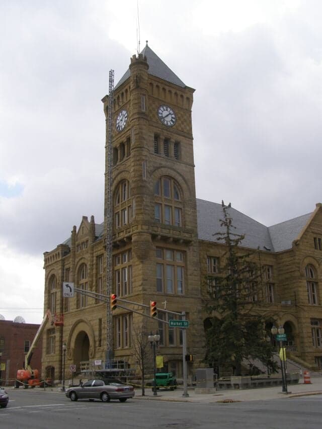
Photo: Wikipedia
Strategic Assessment of Bluffton, IN
Workable tactical position. Some exposure to population density or targets, but generally defensible in a crisis.
What does the Strategic Assessment tell us?
Our Strategic Assessment grades tactical survivability of an area. Major population centers, military targets, fallout zones, natural disasters, and border exposure all drive risk — lower exposure means a more defensible position in a crisis.
This is heavily inspired by Joel Skousen's Strategic Relocation book. Highly recommended you checkout the book ($)What does this tell us?
Our Strategic Assessment grades tactical survivability of an area. Major population centers, military targets, fallout zones, natural disasters, and border exposure all drive risk — lower exposure means a more defensible position in a crisis.
This is heavily inspired by Joel Skousen's Strategic Relocation book. Highly recommended you checkout the book ($)Strategic Pillars

Key Distances
Regional Safe Places
Below is our recommended "safe zones" in Indiana and the surrounding area based on our strategic heuristics. For most people, it's unrealistic to live in a “safe zone” full-time due to work, family or other personal reasons. They tend to be more rural. However, many of these areas are perfect for second homes and retreat properties that double as a vacation home or even a short-term rental.

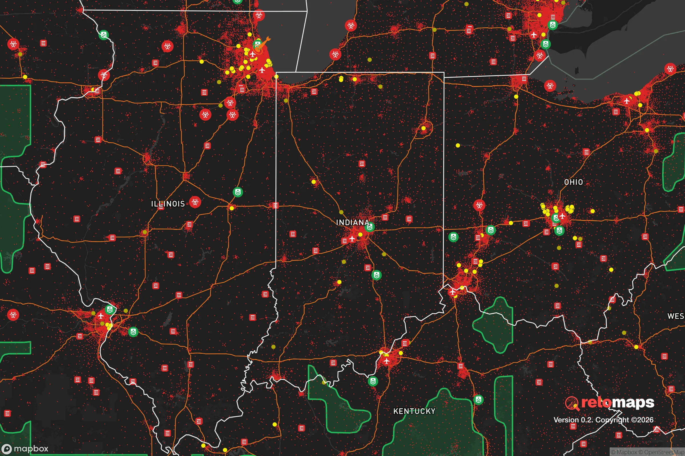


Important Note: For informational purposes only. This does not mean nothing bad ever happens in the green zones. Please use common sense. This is based on public data and modeled with AI. We tried to take a conservative approach but mistakes happen. We update this regularly as new information becomes available.
Solar Generator Recommendations
Backup power matters more here than in safer locations. We've picked three solar generators across budgets and capacity tiers — start with the budget unit if you only need a few essentials, or step up if you want to run a fridge and HVAC for days at a time.

Jackery Portable Power Station Explorer 300
Budget OptionPower on the Go: Weighing only 11 lbs, it's convenient to set up and store with book-sized foldable solar panels

BLUETTI Portable Power Station AC180
Designed for both indoor and outdoor scenarios, AC180 is highly capable as it has a robost capacity and continuous output power.

EF ECOFLOW DELTA Pro Ultra Power Station
Upgraded PickEcoFlow DELTA Pro Ultra is a whole-home energy system designed to grow with your family. Integrated with the Smart Home Panel 2, it scales to meet your evolving energy needs — keeping your home powered, intelligent, and secure through every stage of life.
We earn a commission, at no additional cost to you.
Strategic Assessment Analysis
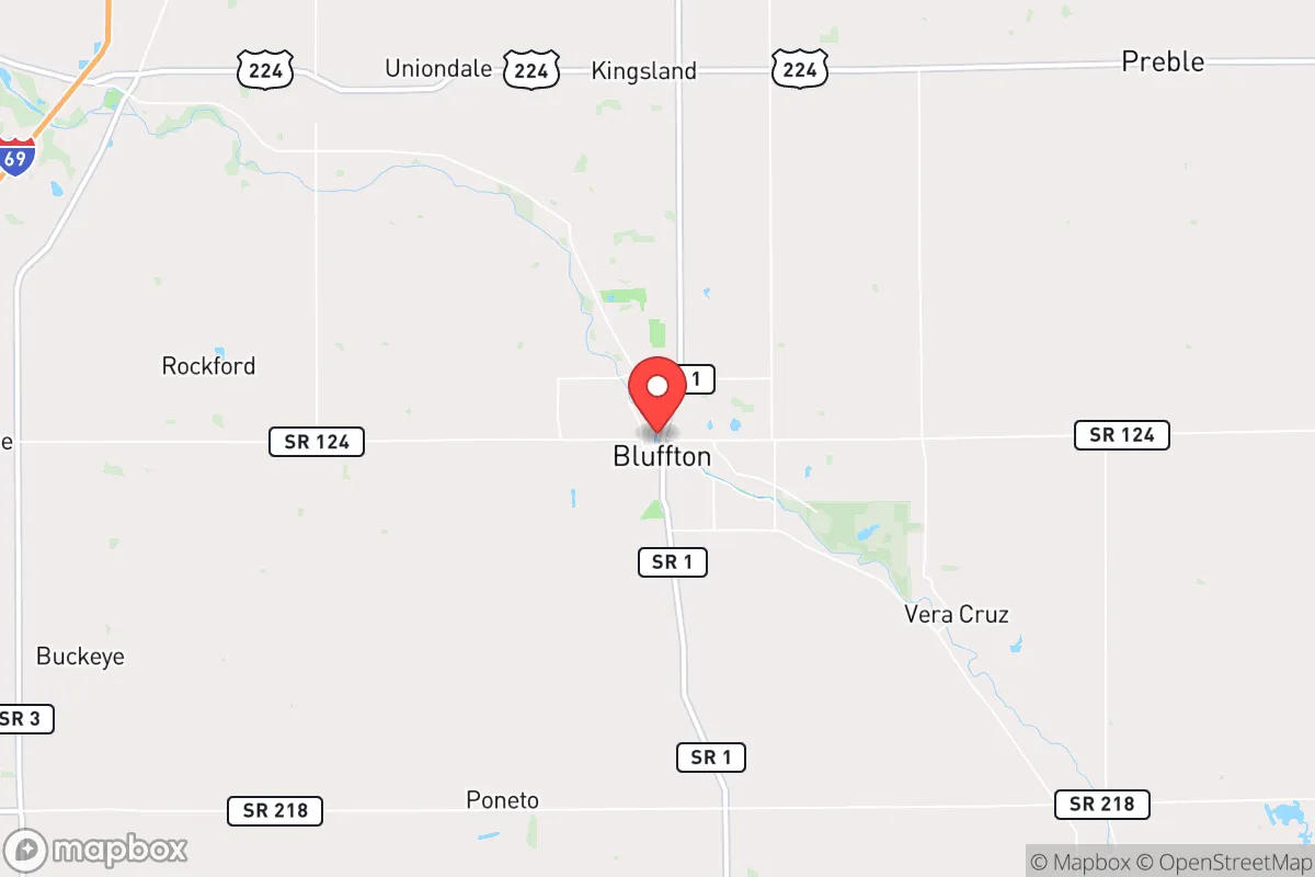
Bluffton, Indiana, offers a surprisingly strong strategic position for those prioritizing resilience and self-sufficiency, largely because it sits in a quiet pocket of the Midwest that balances rural stability with access to regional infrastructure. Located in Wells County, roughly 25 miles south of Fort Wayne, the town benefits from being far enough from major metropolitan centers to avoid the worst of urban chaos, yet close enough to maintain supply lines and economic ties. For a relocator thinking seriously about disaster readiness, Bluffton's location on the Wabash River, its agricultural surroundings, and its distance from high-value targets like major highways, military installations, and nuclear facilities make it a defensible, low-profile option worth a hard look.
Geographic position and natural advantages for long-term stability
Bluffton sits on the northern edge of the Wabash River valley, a region defined by flat, fertile farmland and scattered woodlots. The area's primary geographic advantage is its low population density and lack of strategic infrastructure that would attract attention during a national crisis. Wells County has roughly 28,000 residents, and Bluffton itself is home to about 10,000 people — small enough that a relocator can integrate into the community without being anonymous, but large enough to support basic services like a hospital, grocery stores, and hardware suppliers. The terrain is mostly level, which simplifies construction, gardening, and water management, though it offers little in the way of natural defensive features like hills or forests. The Wabash River provides a reliable surface water source, though it is not a major navigable waterway, which reduces the risk of river-based disruptions or unwanted traffic. The area sits well outside the 50-mile radius of any major nuclear power plant — the closest is the Cook Nuclear Plant in Michigan, over 100 miles away — and is not near any known chemical weapons storage sites or major military bases. This geographic obscurity is arguably Bluffton's strongest asset: it is simply not on the map for most strategic planners.
Risks, exposures, and proximity to fallout-relevant landmarks
While Bluffton avoids the most obvious man-made risks, it is not without vulnerabilities. The town lies within 100 miles of Fort Wayne, which hosts an Air National Guard base and a major rail and highway junction, making it a plausible secondary target in a conflict scenario. Interstate 69 runs about 20 miles west of Bluffton, and while that distance provides some buffer, the highway could become a chokepoint for evacuees or military traffic during a crisis. The Wabash River, while a water asset, also poses a flood risk; the town has experienced moderate flooding historically, particularly in low-lying areas near the river. Tornadoes are a genuine seasonal threat — Wells County sits in the heart of Indiana's tornado alley, and the flat terrain offers little natural shelter from severe weather. On the plus side, Bluffton is not within the primary fallout plume zone of any major nuclear target, including Chicago, Detroit, or Indianapolis, all of which are over 100 miles away. The prevailing westerly winds would carry fallout from those cities eastward, away from Bluffton, though a strike on Fort Wayne or the nearby Naval Surface Warfare Center in Crane (about 150 miles southwest) could still pose a secondary risk. For a relocator, the key takeaway is that Bluffton's risks are mostly natural and manageable, not strategic and catastrophic.
Practical resilience for a relocator: food, water, energy, and defensibility
Bluffton's practical resilience is anchored in its agricultural economy and community infrastructure. Wells County is one of Indiana's top corn and soybean producers, meaning local food supply chains are robust even in normal times. For a relocator looking to garden or raise small livestock, the soil is rich and the growing season runs roughly April through October. The town has a municipal water system drawing from groundwater wells, which is less vulnerable to surface contamination than river-fed systems, and many rural properties have private wells — a major advantage for self-sufficiency. Energy is a mixed picture: the local grid is served by Indiana Michigan Power, which relies on a mix of coal, natural gas, and nuclear, but the area has seen increasing interest in solar and small-scale wind. For a relocator serious about off-grid capability, solar panels are viable here, with roughly 200 sunny days per year, though winter cloud cover can be a challenge. Defensibility is moderate: the town's layout is compact, with a traditional grid of streets and a central downtown, which makes it easier to secure than a sprawling suburb but harder to defend than a rural homestead with clear sightlines. The local police force is small — about 20 officers — and the nearest state police post is in Fort Wayne, so in a prolonged crisis, residents would largely rely on themselves and their neighbors. The community culture leans conservative and self-reliant, with a strong network of churches, volunteer fire departments, and agricultural cooperatives that could serve as informal support structures.
Overall, Bluffton presents a solid strategic picture for a relocator who values low visibility, agricultural self-sufficiency, and a manageable risk profile. It is not a hardened bunker or a remote mountain redoubt, but it offers something arguably more practical for most families: a functioning small town with good soil, decent water, and a community that already knows how to get by without constant outside support. The trade-off is that you are not completely isolated — you are still within a few hours' drive of major cities and their associated risks — but for someone looking to balance preparedness with a normal, affordable life, Bluffton is a quietly strong choice.

* Values derived from national, state, county, city and local statistics and may differ in a specific area. Last updated: 2026-10-21T15:10:49.000Z
Narrative content on this page is AI-generated and may contain mistakes. Verify any details that matter before acting on them.
ReloMaps may earn a commission from affiliate links at no extra cost to you.

