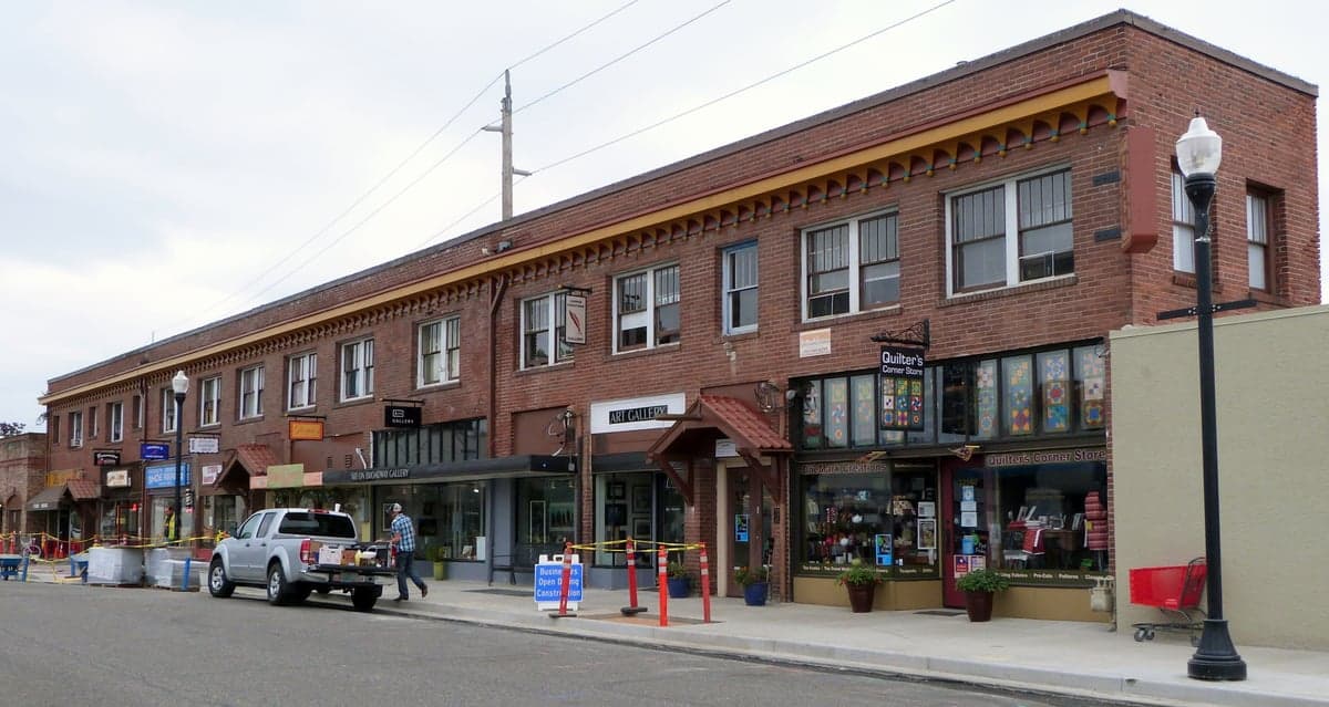
Photo: Wikipedia
Strategic Assessment of Beaverton, OR
Multiple tactical vulnerabilities. Population density, target proximity, or disaster risk are likely compounding. A retreat property and exit planning is required.
What does the Strategic Assessment tell us?
Our Strategic Assessment grades tactical survivability of an area. Major population centers, military targets, fallout zones, natural disasters, and border exposure all drive risk — lower exposure means a more defensible position in a crisis.
This is heavily inspired by Joel Skousen's Strategic Relocation book. Highly recommended you checkout the book ($)What does this tell us?
Our Strategic Assessment grades tactical survivability of an area. Major population centers, military targets, fallout zones, natural disasters, and border exposure all drive risk — lower exposure means a more defensible position in a crisis.
This is heavily inspired by Joel Skousen's Strategic Relocation book. Highly recommended you checkout the book ($)Strategic Pillars

Key Distances
Regional Safe Places
Below is our recommended "safe zones" in Oregon and the surrounding area based on our strategic heuristics. For most people, it's unrealistic to live in a “safe zone” full-time due to work, family or other personal reasons. They tend to be more rural. However, many of these areas are perfect for second homes and retreat properties that double as a vacation home or even a short-term rental.


Important Note: For informational purposes only. This does not mean nothing bad ever happens in the green zones. Please use common sense. This is based on public data and modeled with AI. We tried to take a conservative approach but mistakes happen. We update this regularly as new information becomes available.
Solar Generator Recommendations
Backup power matters more here than in safer locations. We've picked three solar generators across budgets and capacity tiers — start with the budget unit if you only need a few essentials, or step up if you want to run a fridge and HVAC for days at a time.

Jackery Portable Power Station Explorer 300
Budget OptionPower on the Go: Weighing only 11 lbs, it's convenient to set up and store with book-sized foldable solar panels

BLUETTI Portable Power Station AC180
Designed for both indoor and outdoor scenarios, AC180 is highly capable as it has a robost capacity and continuous output power.

EF ECOFLOW DELTA Pro Ultra Power Station
Upgraded PickEcoFlow DELTA Pro Ultra is a whole-home energy system designed to grow with your family. Integrated with the Smart Home Panel 2, it scales to meet your evolving energy needs — keeping your home powered, intelligent, and secure through every stage of life.
We earn a commission, at no additional cost to you.
Strategic Assessment Analysis
Beaverton, Oregon, presents a mixed strategic picture for the relocation-minded reader focused on resilience and self-sufficiency. While its location in the Tualatin Valley offers genuine agricultural advantages and a buffer from coastal threats, its proximity to Portland, major tech employers, and critical infrastructure creates significant vulnerabilities. For a conservative-leaning individual or family weighing disaster readiness, Beaverton is best understood as a suburban hub with moderate natural defenses but high exposure to man-made and cascading risks.
Geographic position and natural advantages for long-term stability
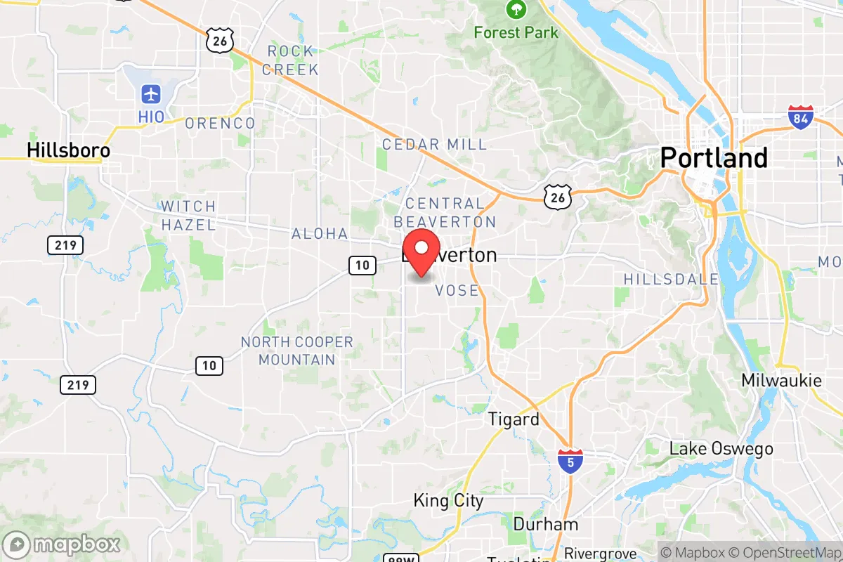
Beaverton sits roughly 10 miles west of downtown Portland, nestled in the fertile Tualatin Valley at the eastern edge of the Oregon Coast Range. This position provides several natural advantages. The valley floor is relatively flat and well-drained, with deep alluvial soils that support robust agriculture—a key asset for any long-term self-sufficiency plan. The area receives abundant rainfall, averaging about 37 inches annually, which sustains local watersheds and reduces the risk of prolonged drought compared to eastern Oregon or the Southwest. The nearby Tualatin River and its tributaries, including Fanno Creek and Beaverton Creek, offer surface water sources, though access is regulated and not guaranteed in a crisis. The Coast Range to the west acts as a natural barrier against tsunami inundation from the Pacific, a significant concern for coastal communities. Additionally, the region’s moderate climate—with average summer highs in the low 80s and winter lows in the mid-30s—means less energy demand for heating and cooling, a practical resilience factor. However, the valley’s bowl-like geography can trap air pollution and wildfire smoke, a trade-off worth noting.
Risks, exposures, and proximity to fallout-relevant landmarks
The most significant risks in Beaverton stem from its location within the Portland metropolitan area and its proximity to high-value infrastructure. The city lies within the Cascadia Subduction Zone, capable of generating a magnitude 9.0 earthquake. While the immediate shaking risk is comparable to other Willamette Valley cities, the cascading effects are amplified by density. Beaverton is less than 15 miles from the Portland International Airport (PDX), the Port of Portland’s industrial terminals, and major rail yards—all potential targets or chokepoints in a conflict or major disruption. The city is also home to the headquarters of Nike, Inc., and a significant concentration of semiconductor and tech firms (including Intel’s nearby Ronler Acres campus in Hillsboro). These facilities are economic engines but also represent potential secondary targets or sources of hazardous material releases (e.g., chemicals used in chip manufacturing). The MAX light rail line and major highways (US-26, OR-217) that connect Beaverton to Portland create evacuation chokepoints; a single bridge or overpass failure could gridlock the entire corridor. For a reader concerned with fallout or man-made events, Beaverton’s position within the blast and fallout shadow of Portland’s urban core is a clear negative. Prevailing westerly winds would carry fallout from a Portland detonation directly over the city, and the lack of substantial natural shielding (hills, dense forests) in the immediate suburban area limits effective sheltering options.
Practical resilience for a relocator: food, water, energy, and defensibility
For a relocator serious about self-sufficiency, Beaverton offers a mixed bag. Food resilience is moderate. The surrounding Tualatin Valley is prime farmland, with numerous nurseries, berry farms, and vegetable producers within a 20-minute drive. However, most of this land is dedicated to commercial agriculture, not small-scale homesteading. Suburban lots in Beaverton average 0.15 to 0.25 acres, limiting space for substantial gardens or livestock. The city’s zoning codes are generally permissive for backyard chickens and small-scale gardening, but larger animals (goats, pigs) are restricted in most residential zones. Water resilience is a concern. Beaverton’s municipal water comes from the Tualatin River and the Bull Run Watershed (via Portland’s system). Both are vulnerable to earthquake disruption—the Bull Run system crosses the Sandy River fault zone, and the Tualatin River treatment plant is in a floodplain. Private wells are rare within city limits, meaning most residents are entirely dependent on a fragile, centralized system. Rainwater catchment is legal but regulated, and storage capacity on typical lots is limited. Energy resilience is poor. The grid is heavily reliant on long-distance transmission lines from the Columbia River Gorge (hydro) and eastern Oregon (wind/solar). A Cascadia earthquake would likely sever these lines for weeks or months. Natural gas service, used for heating in many homes, is also vulnerable to pipeline breaks. Solar panel installation is feasible but requires significant roof space and battery storage to be useful off-grid. Defensibility is low. Beaverton is a dense, interconnected suburb with multiple entry points and a population of over 100,000. During a major crisis, the city would likely experience significant population movement and potential civil unrest, as seen during the 2020 Portland protests, which spilled into Beaverton’s commercial corridors. The city’s police force is professional but small relative to the population, and mutual aid from surrounding agencies would be strained. For a relocator prioritizing security, a more rural property with natural chokepoints (e.g., a hillside lot with a single access road) would be far preferable.
The overall strategic picture for Beaverton is one of moderate convenience but high vulnerability. Its agricultural setting and climate are genuine assets for a long-term recovery scenario, and its proximity to Portland provides access to medical and supply networks in the short term. However, the risks from earthquake, infrastructure failure, and man-made events are substantial and often underestimated by residents. For a conservative-leaning individual or family who values self-reliance and security, Beaverton is best viewed as a transitional location—a place to build skills and resources while planning a move to a more defensible and less exposed property in the surrounding countryside, such as the foothills of the Coast Range or the more rural areas of Washington or Yamhill counties. The city’s resilience is not zero, but it is heavily dependent on systems that are likely to fail in a major event. If disaster readiness is your primary relocation criterion, Beaverton should be considered a stepping stone, not a destination.

* Values derived from national, state, county, city and local statistics and may differ in a specific area. Last updated: 2026-06-13T10:09:38.000Z
Narrative content on this page is AI-generated and may contain mistakes. Verify any details that matter before acting on them.
ReloMaps may earn a commission from affiliate links at no extra cost to you.

