
Photo: Wikipedia
Strategic Assessment of Barnstable Town, MA
Multiple tactical vulnerabilities. Population density, target proximity, or disaster risk are likely compounding. A retreat property and exit planning is required.
What does the Strategic Assessment tell us?
Our Strategic Assessment grades tactical survivability of an area. Major population centers, military targets, fallout zones, natural disasters, and border exposure all drive risk — lower exposure means a more defensible position in a crisis.
This is heavily inspired by Joel Skousen's Strategic Relocation book. Highly recommended you checkout the book ($)What does this tell us?
Our Strategic Assessment grades tactical survivability of an area. Major population centers, military targets, fallout zones, natural disasters, and border exposure all drive risk — lower exposure means a more defensible position in a crisis.
This is heavily inspired by Joel Skousen's Strategic Relocation book. Highly recommended you checkout the book ($)Strategic Pillars

Key Distances
Regional Safe Places
Below is our recommended "safe zones" in Massachusetts and the surrounding area based on our strategic heuristics. For most people, it's unrealistic to live in a “safe zone” full-time due to work, family or other personal reasons. They tend to be more rural. However, many of these areas are perfect for second homes and retreat properties that double as a vacation home or even a short-term rental.


Important Note: For informational purposes only. This does not mean nothing bad ever happens in the green zones. Please use common sense. This is based on public data and modeled with AI. We tried to take a conservative approach but mistakes happen. We update this regularly as new information becomes available.
Solar Generator Recommendations
Backup power matters more here than in safer locations. We've picked three solar generators across budgets and capacity tiers — start with the budget unit if you only need a few essentials, or step up if you want to run a fridge and HVAC for days at a time.

Jackery Portable Power Station Explorer 300
Budget OptionPower on the Go: Weighing only 11 lbs, it's convenient to set up and store with book-sized foldable solar panels

BLUETTI Portable Power Station AC180
Designed for both indoor and outdoor scenarios, AC180 is highly capable as it has a robost capacity and continuous output power.

EF ECOFLOW DELTA Pro Ultra Power Station
Upgraded PickEcoFlow DELTA Pro Ultra is a whole-home energy system designed to grow with your family. Integrated with the Smart Home Panel 2, it scales to meet your evolving energy needs — keeping your home powered, intelligent, and secure through every stage of life.
We earn a commission, at no additional cost to you.
Strategic Assessment Analysis
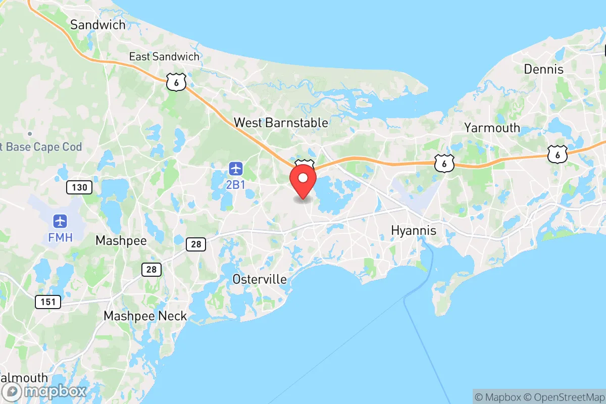
Barnstable Town, the historic heart of Cape Cod, offers a strategic paradox for the conservative prepper: it sits on a peninsula that provides natural chokepoints and a maritime buffer, yet its very geography creates a vulnerability that demands serious consideration. For the relocator prioritizing resilience over convenience, this is not a retreat into the hinterlands but a calculated coastal outpost—one where the Atlantic Ocean serves as both a moat and a potential trap. The town’s year-round population of roughly 45,000 swells to over 200,000 in summer, a seasonal surge that tests infrastructure and could become a liability during a crisis. Understanding Barnstable’s position requires weighing its defensive advantages against its exposure to the cascading failures that could emanate from Boston, Providence, and the broader Northeast Corridor.
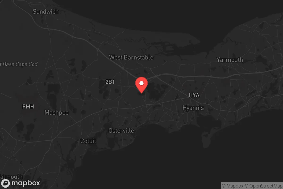
Geographic position and natural defensive advantages on Cape Cod
Barnstable’s location at the base of Cape Cod, where the peninsula narrows to just a few miles wide, provides a rare natural defensive feature: the Cape Cod Canal. This 17-mile man-made waterway effectively severs the Cape from the mainland, with only two bridges—the Sagamore and Bourne—and a single rail bridge connecting it to the rest of Massachusetts. In a scenario of civil unrest or mass evacuation, these chokepoints could be controlled, for better or worse. The surrounding waters—Cape Cod Bay to the north, Nantucket Sound to the south—offer a 360-degree maritime buffer that complicates any ground-based threat. The area’s dense maritime forests, salt marshes, and kettle ponds provide natural cover and freshwater sources, though they are not limitless. For the prepper, this geography means that Barnstable is defensible in theory, but only if you secure the bridges and have a plan for maritime resupply or escape. The town’s numerous inlets and harbors, including Hyannis Harbor and Lewis Bay, offer potential for small-boat evacuation or fishing-based subsistence, but they also expose the area to seaborne threats from offshore activity.
Risks, exposures, and proximity to fallout-relevant landmarks
The most glaring vulnerability for Barnstable is its proximity to Boston, just 60 miles to the northwest, and the dense suburban sprawl of the I-95 corridor. In a mass casualty event, nuclear incident, or major infrastructure collapse, the Cape would become a natural refuge for millions fleeing the metro area—a scenario that would overwhelm local resources within hours. The Sagamore and Bourne bridges would become gridlocked, turning the Cape into a dead-end trap rather than a sanctuary. Additionally, Barnstable sits within 100 miles of the Pilgrim Nuclear Power Station in Plymouth (currently decommissioned but still housing spent fuel) and the Seabrook Station in New Hampshire, both of which are potential fallout sources. The prevailing winds from the northwest could carry contamination directly over the Cape. Military installations like Joint Base Cape Cod, which includes the Massachusetts Military Reservation and its radar and communications facilities, are a double-edged sword: they provide a potential security presence but also make the area a target in a conflict scenario. The base’s groundwater contamination issues from past training activities are a lesser but ongoing concern for long-term water security.
Practical resilience for a relocator: food, water, energy, and defensibility
For the individual or family looking to establish a resilient foothold, Barnstable’s practical assets are mixed. Freshwater is the most critical concern: the Cape relies entirely on a sole-source aquifer, and while it is generally clean, it is shallow and vulnerable to saltwater intrusion from rising seas and over-pumping. Private wells are common in outlying areas, but many homes in the town center are on municipal water, which could fail during a prolonged grid-down event. Food security is achievable but requires effort: the surrounding waters offer abundant fish, shellfish, and lobster, but commercial fishing is heavily regulated, and the local growing season is short (roughly May to October). Small-scale gardening is possible in sandy soils with amendment, and there are a handful of farms in the Barnstable area, but the region is not a breadbasket. Energy resilience is a bright spot: solar adoption is high on the Cape, and many homes have backup generators due to frequent nor’easter power outages. Wood heat is viable, with local firewood suppliers and state forests for harvesting, but the dense residential zoning in Barnstable proper limits the space for large-scale fuel storage. Defensibility at the household level is challenging in the town’s denser neighborhoods, but the outlying villages like Cotuit, Osterville, and West Barnstable offer more rural layouts with wooded lots, longer sightlines, and fewer neighbors. The key is to secure a property with a well, septic, and solar, ideally on a dead-end road near a marsh or forest escape route. The local police and fire departments are professional and well-funded, but in a widespread crisis, they would be stretched thin, and the town’s reliance on seasonal tourism means many services are scaled for summer crowds, not winter isolation.
The overall strategic picture for Barnstable Town is one of calculated risk. It offers a rare combination of natural chokepoints, maritime resources, and a community that, despite its liberal-leaning summer veneer, has a deep Yankee self-reliance among its year-round residents. However, the same geography that makes it defensible also makes it a potential cage. For the relocator who is serious about long-term preparedness, Barnstable is best viewed as a secondary position—a coastal redoubt that requires a solid plan for bridge control, water independence, and a maritime escape route. It is not a place to hunker down indefinitely, but it could serve as a viable base for those who understand its limits and are prepared to adapt. The conservative prepper will find that Barnstable’s strengths are real but narrow, and its weaknesses are amplified by its proximity to the very urban centers that make this analysis necessary in the first place.
* Values derived from national, state, county, city and local statistics and may differ in a specific area. Last updated: 2026-05-01T11:08:36.000Z
Narrative content on this page is AI-generated and may contain mistakes. Verify any details that matter before acting on them.
ReloMaps may earn a commission from affiliate links at no extra cost to you.