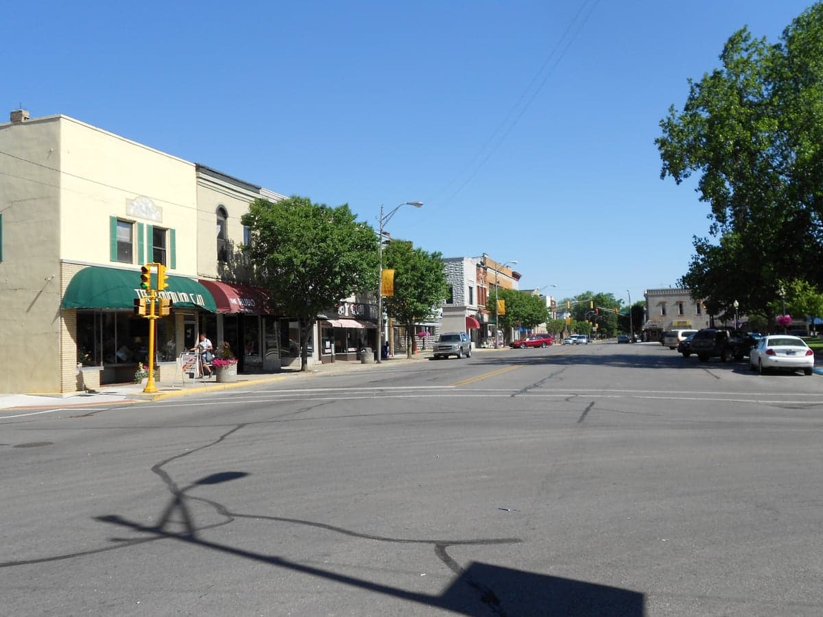
Photo: Wikipedia
Strategic Assessment of Auburn, IN
Workable tactical position. Some exposure to population density or targets, but generally defensible in a crisis.
What does the Strategic Assessment tell us?
Our Strategic Assessment grades tactical survivability of an area. Major population centers, military targets, fallout zones, natural disasters, and border exposure all drive risk — lower exposure means a more defensible position in a crisis.
This is heavily inspired by Joel Skousen's Strategic Relocation book. Highly recommended you checkout the book ($)What does this tell us?
Our Strategic Assessment grades tactical survivability of an area. Major population centers, military targets, fallout zones, natural disasters, and border exposure all drive risk — lower exposure means a more defensible position in a crisis.
This is heavily inspired by Joel Skousen's Strategic Relocation book. Highly recommended you checkout the book ($)Strategic Pillars

Key Distances
Regional Safe Places
Below is our recommended "safe zones" in Indiana and the surrounding area based on our strategic heuristics. For most people, it's unrealistic to live in a “safe zone” full-time due to work, family or other personal reasons. They tend to be more rural. However, many of these areas are perfect for second homes and retreat properties that double as a vacation home or even a short-term rental.

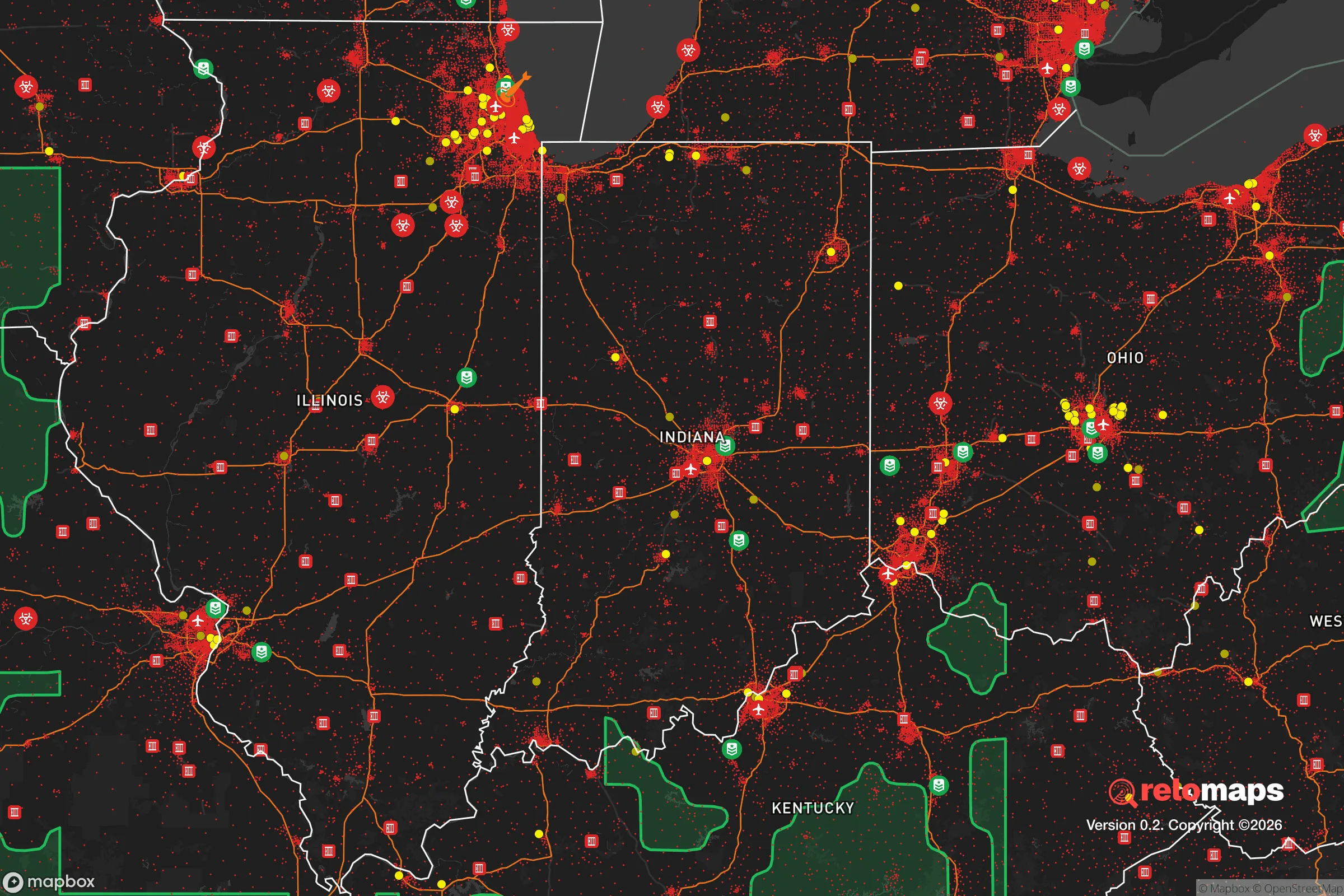


Important Note: For informational purposes only. This does not mean nothing bad ever happens in the green zones. Please use common sense. This is based on public data and modeled with AI. We tried to take a conservative approach but mistakes happen. We update this regularly as new information becomes available.
Solar Generator Recommendations
Backup power matters more here than in safer locations. We've picked three solar generators across budgets and capacity tiers — start with the budget unit if you only need a few essentials, or step up if you want to run a fridge and HVAC for days at a time.

Jackery Portable Power Station Explorer 300
Budget OptionPower on the Go: Weighing only 11 lbs, it's convenient to set up and store with book-sized foldable solar panels

BLUETTI Portable Power Station AC180
Designed for both indoor and outdoor scenarios, AC180 is highly capable as it has a robost capacity and continuous output power.

EF ECOFLOW DELTA Pro Ultra Power Station
Upgraded PickEcoFlow DELTA Pro Ultra is a whole-home energy system designed to grow with your family. Integrated with the Smart Home Panel 2, it scales to meet your evolving energy needs — keeping your home powered, intelligent, and secure through every stage of life.
We earn a commission, at no additional cost to you.
Strategic Assessment Analysis
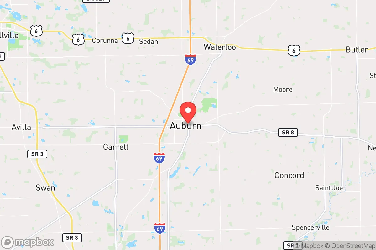
Auburn, Indiana, occupies a strategic position in the northeastern corner of the state that offers a compelling mix of geographic insulation and practical resilience for those prioritizing disaster readiness and self-sufficiency. While not a remote mountain redoubt, the area benefits from being far enough from major metropolitan centers to avoid the worst of urban collapse scenarios, yet close enough to maintain access to critical supply chains and healthcare. The city's location along the I-69 corridor, roughly 25 miles north of Fort Wayne and 120 miles northeast of Indianapolis, places it in a sweet spot where a relocator can balance seclusion with connectivity, making it a viable option for families and individuals who want to be prepared without living off-grid.
Geographic position and natural advantages for long-term security
Auburn sits in DeKalb County, a region defined by flat to gently rolling agricultural land that has historically supported robust local food production. The area's position on the northern Indiana till plain means fertile soil is abundant, a critical advantage for anyone serious about long-term food self-sufficiency. The region is also part of the Great Lakes watershed, with the St. Joseph River flowing nearby and numerous small lakes and aquifers providing reliable freshwater sources. Unlike areas prone to seismic activity, hurricanes, or wildfires, Auburn's primary natural threats are winter storms and occasional tornadoes—hazards that are manageable with proper preparation. The lack of major floodplains in the immediate vicinity reduces the risk of catastrophic flooding, and the area's elevation, while modest, provides decent drainage. For a relocator assessing geographic defensibility, the flat terrain offers both advantages (easy cultivation, clear sightlines) and drawbacks (limited natural cover), but the overall absence of extreme weather events makes this a low-volatility environment for long-term settlement.
Risks, exposures, and proximity to fallout-relevant landmarks
The most significant risk factor for Auburn is its proximity to potential man-made and infrastructure-related threats. The city lies roughly 100 miles southwest of the Michigan border and about 120 miles from the Detroit metropolitan area, a major population and industrial center that could be a target in a conflict scenario. Additionally, the I-69 corridor itself is a double-edged sword: it provides vital supply routes but also serves as a potential chokepoint or vector for population movement during a crisis. Within a 50-mile radius, there are no major nuclear power plants—the closest is the Fermi 2 plant near Monroe, Michigan, about 90 miles northeast—but the region does host several industrial facilities, including automotive manufacturing plants in Fort Wayne and Auburn itself, that could be secondary targets or sources of hazardous material releases. The area's agricultural character means that chemical runoff from farming operations is a more immediate day-to-day concern than fallout, but for the strategic-minded relocator, the lack of high-value military or government installations within a 30-mile radius is a net positive. The primary exposure is less about direct attack and more about the secondary effects of a major disruption in the Great Lakes industrial corridor, including potential refugee flow from larger cities to the north and east.
Practical resilience for a relocator: food, water, energy, and defensibility
For the individual or family looking to establish a resilient homestead, Auburn offers several practical advantages. The surrounding DeKalb County is heavily agricultural, with corn, soybeans, and livestock operations dominating the landscape. This means that local food production is not just possible but already the economic backbone of the area, giving relocators access to farm stands, co-ops, and direct relationships with producers. Water availability is strong: the region sits atop the St. Joseph River aquifer, and well water is common in rural areas, reducing dependence on municipal systems. Energy resilience is more mixed—the grid is typical of the Midwest, with overhead lines vulnerable to ice storms and high winds—but the prevalence of farmland means that solar panel installation is feasible on most properties, and natural gas is widely available for backup heating. Defensibility is moderate: the flat terrain offers limited natural chokepoints, but the rural character of the county means that properties can be spaced far enough apart to provide privacy and early warning of approach. The local population is predominantly conservative and self-reliant, with a strong culture of hunting, gardening, and mechanical skills that aligns well with a preparedness mindset. The DeKalb County Sheriff's Office maintains a visible presence, and crime rates are low, but the area's distance from major urban centers means that emergency response times in the most rural pockets can exceed 20 minutes, making self-sufficiency in medical and security matters a practical necessity rather than a theoretical preference.
The overall strategic picture for Auburn is one of moderate but genuine resilience, particularly for those who are willing to invest in property improvements and community integration. The area's agricultural base, reliable water resources, and distance from primary target zones make it a defensible choice for a relocator who wants to avoid the extremes of urban vulnerability without sacrificing access to modern infrastructure. The primary trade-offs are the flat terrain's limited natural defensibility and the potential for secondary effects from disruptions in the Great Lakes corridor, but these are manageable with proper planning. For a conservative-leaning individual or family seeking a location where self-sufficiency is culturally supported and practically achievable, Auburn represents a solid, unglamorous option that prioritizes stability over spectacle. It is not a bug-out location for the prepper elite, but a workable base for building a resilient life in the American heartland.

* Values derived from national, state, county, city and local statistics and may differ in a specific area. Last updated: 2026-10-22T15:10:08.000Z
Narrative content on this page is AI-generated and may contain mistakes. Verify any details that matter before acting on them.
ReloMaps may earn a commission from affiliate links at no extra cost to you.

