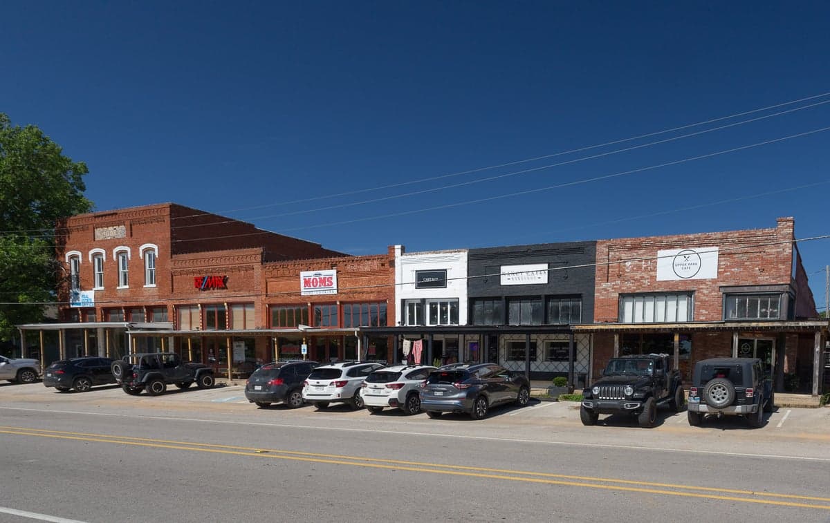
Photo: Wikipedia
Strategic Assessment of Aubrey, TX
Meaningful friction. Expect exposure to either population pressure, blast zones, or natural disaster risk. Consider buying a retreat property.
What does the Strategic Assessment tell us?
Our Strategic Assessment grades tactical survivability of an area. Major population centers, military targets, fallout zones, natural disasters, and border exposure all drive risk — lower exposure means a more defensible position in a crisis.
This is heavily inspired by Joel Skousen's Strategic Relocation book. Highly recommended you checkout the book ($)What does this tell us?
Our Strategic Assessment grades tactical survivability of an area. Major population centers, military targets, fallout zones, natural disasters, and border exposure all drive risk — lower exposure means a more defensible position in a crisis.
This is heavily inspired by Joel Skousen's Strategic Relocation book. Highly recommended you checkout the book ($)Strategic Pillars

Key Distances
Regional Safe Places
Below is our recommended "safe zones" in Texas and the surrounding area based on our strategic heuristics. For most people, it's unrealistic to live in a “safe zone” full-time due to work, family or other personal reasons. They tend to be more rural. However, many of these areas are perfect for second homes and retreat properties that double as a vacation home or even a short-term rental.

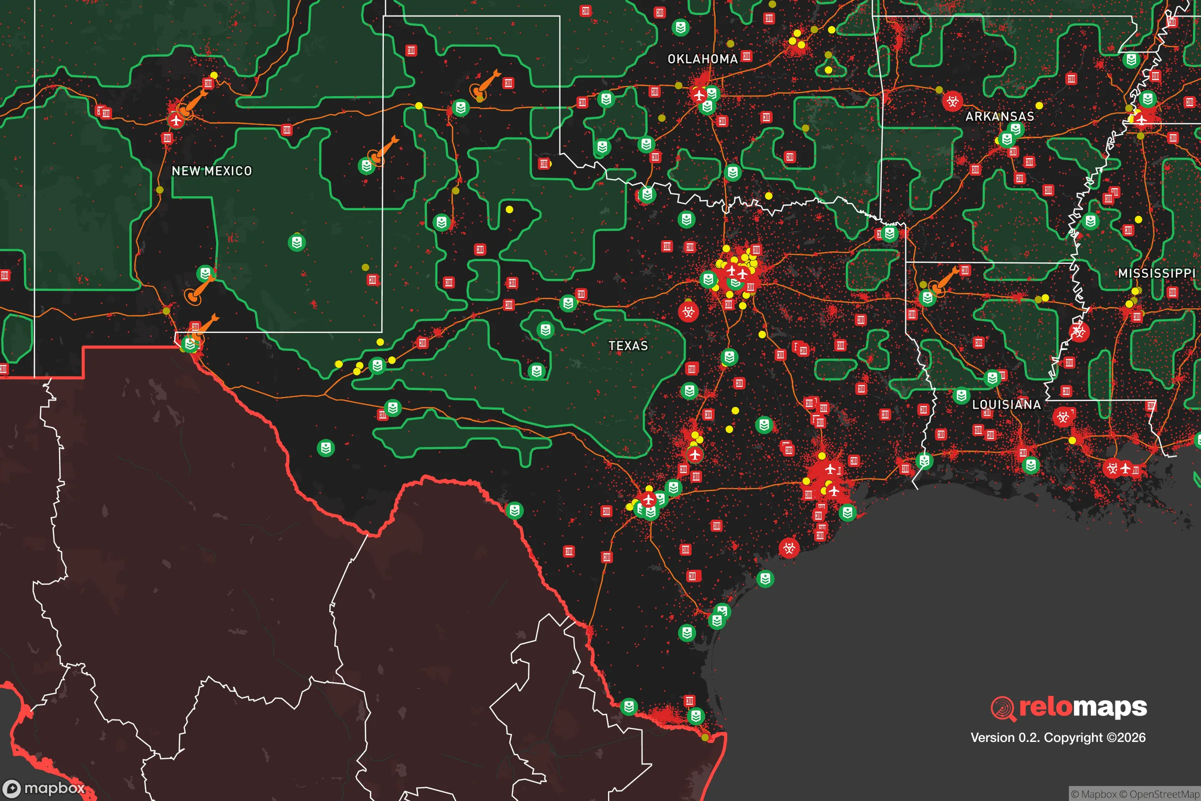


Important Note: For informational purposes only. This does not mean nothing bad ever happens in the green zones. Please use common sense. This is based on public data and modeled with AI. We tried to take a conservative approach but mistakes happen. We update this regularly as new information becomes available.
Solar Generator Recommendations
Backup power matters more here than in safer locations. We've picked three solar generators across budgets and capacity tiers — start with the budget unit if you only need a few essentials, or step up if you want to run a fridge and HVAC for days at a time.

Jackery Portable Power Station Explorer 300
Budget OptionPower on the Go: Weighing only 11 lbs, it's convenient to set up and store with book-sized foldable solar panels

BLUETTI Portable Power Station AC180
Designed for both indoor and outdoor scenarios, AC180 is highly capable as it has a robost capacity and continuous output power.

EF ECOFLOW DELTA Pro Ultra Power Station
Upgraded PickEcoFlow DELTA Pro Ultra is a whole-home energy system designed to grow with your family. Integrated with the Smart Home Panel 2, it scales to meet your evolving energy needs — keeping your home powered, intelligent, and secure through every stage of life.
We earn a commission, at no additional cost to you.
Strategic Assessment Analysis
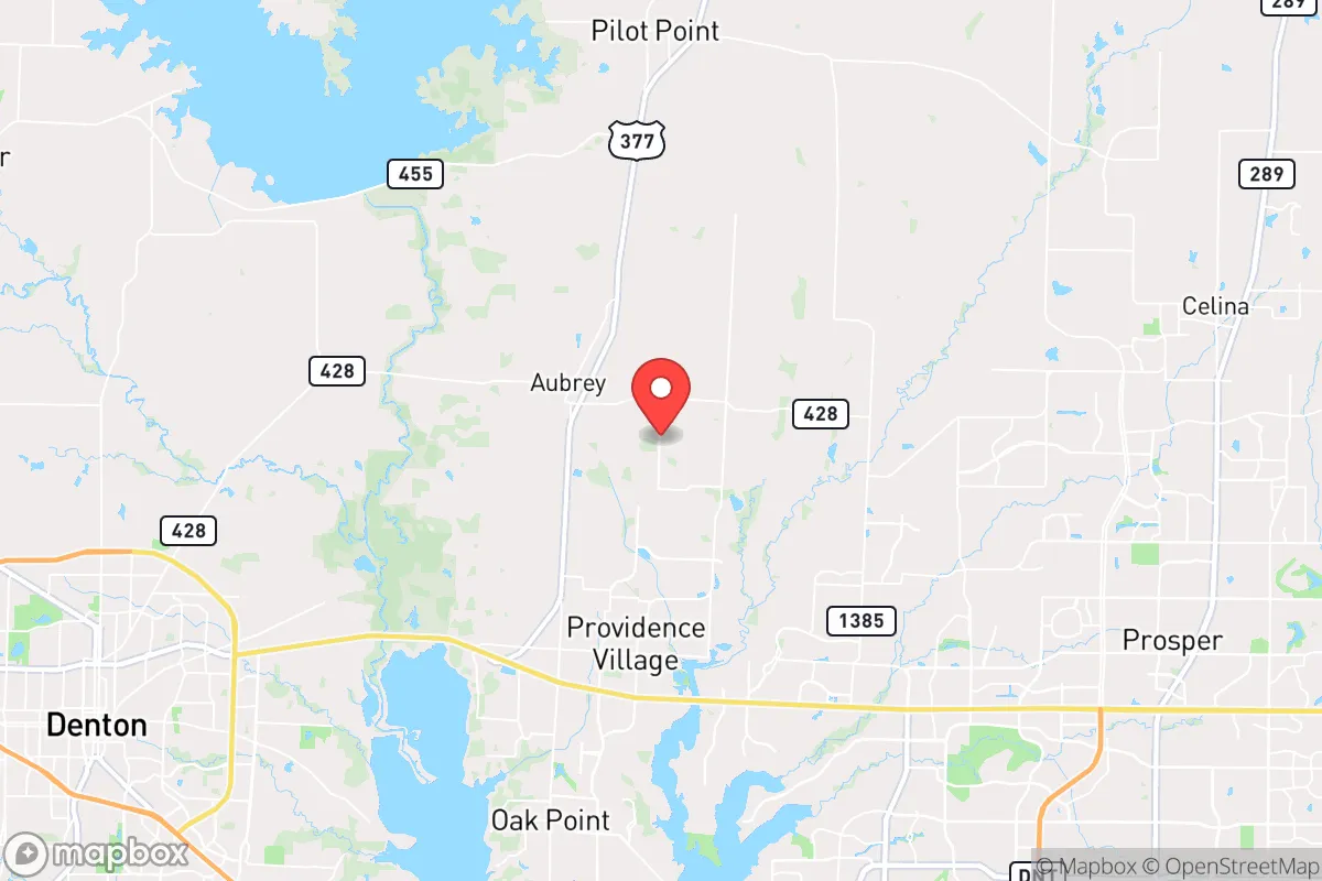
Aubrey, Texas, presents a compelling case for the relocation-minded reader prioritizing resilience and self-sufficiency, though its strategic value is a study in contrasts. Situated roughly 45 miles north of downtown Dallas and just west of U.S. Highway 377, Aubrey sits at the edge of the rapidly urbanizing Denton County frontier, where suburban sprawl meets working ranchland. Its primary resilience advantage is not isolation, but rather a favorable position within a region that offers a deep well of natural resources, a growing local food economy, and a political climate that generally favors property rights and low regulation—factors that directly support a self-sufficient lifestyle. However, the area’s proximity to major metropolitan infrastructure, including critical transportation hubs and potential fallout-relevant targets, demands a clear-eyed assessment of both its strengths and its vulnerabilities.
Geographic position and natural advantages for self-sufficiency
Aubrey’s geographic setting offers several tangible benefits for a household focused on disaster readiness. The town lies within the Blackland Prairie region, underlain by the Woodbine and Trinity aquifers, which provide relatively reliable groundwater access for those with the means to drill a private well—a significant advantage over areas dependent solely on surface reservoirs like Lewisville Lake, which is about 15 miles south. The local topography is gently rolling, with elevations around 700 feet, offering decent drainage and reducing flood risk compared to communities closer to the Trinity River floodplain. The climate supports a long growing season (roughly 230 frost-free days), making year-round food production feasible with season extension techniques. Aubrey’s position at the northern edge of the Dallas-Fort Worth metroplex means that while it is within commuting distance of urban jobs, it still retains a rural character with parcels of land large enough for livestock, orchards, and substantial gardens. The area’s relatively low population density—around 500 people per square mile in the immediate vicinity, compared to over 3,000 in central Denton—reduces competition for local resources during a crisis and provides more options for defensible space.
Risks, exposures, and proximity to fallout-relevant landmarks
The most significant strategic drawback for Aubrey is its proximity to high-value infrastructure that could become targets during a major conflict or terrorist event. The town lies roughly 30 miles northwest of the Dallas-Fort Worth International Airport (DFW), one of the busiest air hubs in the world, and about 25 miles from the massive Defense Logistics Agency distribution depot at the former Carswell Air Force Base in Fort Worth. Additionally, the region hosts major rail yards, petrochemical facilities along the Houston Ship Channel (though farther south), and the nation’s largest concentration of semiconductor manufacturing in the Dallas-Fort Worth corridor. In a nuclear exchange scenario, prevailing winds from the south and southwest would carry fallout from a strike on DFW or downtown Dallas directly toward Aubrey within hours. Natural disaster risks are more moderate: the area lies in Tornado Alley, with an average of 5-7 tornado warnings per year, and severe thunderstorms with hail and straight-line winds are common. Wildfire risk is low but not zero, particularly during drought years when cured grasses on ranchland can carry a fast-moving fire. Flooding is localized and generally confined to the Elm Fork of the Trinity River, which runs a few miles east of town. The region’s vulnerability to extended power outages from ice storms (like the 2021 Winter Storm Uri) is a known and recurring hazard, with the local grid operated by the Electric Reliability Council of Texas (ERCOT) remaining a point of concern for those prioritizing energy independence.
Practical resilience for a relocator: food, water, energy, and defensibility
For a household serious about self-sufficiency, Aubrey offers a mix of strong practical advantages and notable gaps. Food security is a clear strength: the surrounding Denton County has a robust agricultural extension service through Texas A&M AgriLife, and local farmers’ markets in Aubrey and nearby Pilot Point provide direct access to producers. The area supports small-scale livestock operations (chickens, goats, cattle) and has several feed stores and agricultural supply outlets within a 15-minute drive. Community gardens and seed-sharing networks are emerging, though not yet widespread. Water security is more complex. While groundwater is accessible, well drilling costs in the region range from $15,000 to $30,000 for a residential system, and water rights are governed by the local groundwater conservation district, which can impose pumping limits during drought. Rainwater catchment is legal and encouraged, with average annual rainfall of about 38 inches—enough to supply a household with proper storage. Energy resilience is a mixed picture: solar insolation is good (about 5.5 peak sun hours per day), and net metering policies are favorable under the local electric cooperative (CoServ), but battery storage and backup generators are essential given ERCOT’s reliability issues. Natural gas is widely available in the town limits, but rural properties often rely on propane. Defensibility is perhaps the weakest link: Aubrey is not geographically isolated—it is bisected by U.S. 377, a major north-south arterial that would become a primary evacuation route during a crisis, potentially creating choke points. The town’s police force is small (fewer than 15 officers), and while Denton County has a well-regarded sheriff’s office, response times in rural areas can exceed 20 minutes. For those seeking true defensibility, properties farther north toward the Red River or west into the Cross Timbers region offer greater seclusion and natural barriers.
The overall strategic picture for Aubrey is one of a high-potential but not low-risk relocation choice. Its strengths lie in its agricultural capacity, water access, and a regulatory environment that supports self-reliance—factors that make it a viable base for a prepared household. Its weaknesses are rooted in its location within a major metropolitan corridor, which introduces exposure to both natural grid failures and man-made threats that could overwhelm local resources. For the relocator who is willing to invest in well water, solar-plus-battery systems, and a robust food production plan, Aubrey offers a solid foundation. However, it is not a retreat in the wilderness; it is a forward operating base on the edge of a dense urban zone. Those whose risk calculus prioritizes absolute isolation and distance from strategic targets should look farther north or west. For those who want a balance of access to urban employment and a genuine shot at self-sufficiency, Aubrey deserves serious consideration—provided the vulnerabilities are acknowledged and mitigated with deliberate planning and investment.

* Values derived from national, state, county, city and local statistics and may differ in a specific area. Last updated: 2026-10-27T13:34:42.000Z
Narrative content on this page is AI-generated and may contain mistakes. Verify any details that matter before acting on them.
ReloMaps may earn a commission from affiliate links at no extra cost to you.

