Photo: Wikipedia
Strategic Assessment of Washington County
Workable tactical position. Some exposure to population density or targets, but generally defensible in a crisis.
What does the Strategic Assessment tell us?
Our Strategic Assessment grades tactical survivability of an area. Major population centers, military targets, fallout zones, natural disasters, and border exposure all drive risk — lower exposure means a more defensible position in a crisis.
This is heavily inspired by Joel Skousen's Strategic Relocation book. Highly recommended you checkout the book ($)What does this tell us?
Our Strategic Assessment grades tactical survivability of an area. Major population centers, military targets, fallout zones, natural disasters, and border exposure all drive risk — lower exposure means a more defensible position in a crisis.
This is heavily inspired by Joel Skousen's Strategic Relocation book. Highly recommended you checkout the book ($)Strategic Pillars

Key Distances
Strategic Assessment Analysis
Washington County, Arkansas, offers a compelling mix of geographic isolation from major metropolitan fallout zones and access to critical infrastructure, making it a serious contender for relocation-minded individuals and families prioritizing long-term resilience. Anchored by Fayetteville and Springdale, the county sits in the Ozark highlands, far removed from the Gulf Coast hurricane zones, the Dallas-Fort Worth metroplex, and the Mississippi River industrial corridor. While not immune to all risks, its position in the Arkansas River Valley and proximity to the Boston Mountains provides a natural buffer against many of the threats that plague more densely populated or strategically targeted regions of the United States.
Geographic position and natural advantages for disaster preparedness
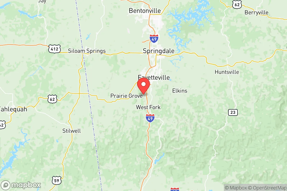
Washington County's primary resilience asset is its location within the Ozark Plateau, a region characterized by rugged terrain, dense forests, and a relatively low population density compared to the surrounding states. The county sits roughly 200 miles from the nearest major metropolitan area (Tulsa, Oklahoma) and over 300 miles from the Dallas-Fort Worth metroplex, placing it well outside the immediate blast and fallout zones of any high-value target in those cities. The terrain itself offers natural defensibility: the Boston Mountains to the south and east create a series of ridges and valleys that limit line-of-sight and slow overland movement, while the White River and its tributaries provide a reliable water source. The region's elevation—Fayetteville sits at roughly 1,400 feet—reduces the risk of flooding compared to the Arkansas River Valley to the south, though flash flooding in low-lying areas near the White River remains a concern. The county's position in the Arkansas River Valley also means it is far from the New Madrid Seismic Zone's most severe projected impact areas, though moderate shaking could still occur in a major event.
Risks, exposures, and proximity to fallout-relevant landmarks
While Washington County avoids the worst of coastal and seismic threats, it is not without exposure. The county lies within the Arkansas River Valley's industrial corridor, which includes the Port of Catoosa near Tulsa and the McClellan-Kerr Arkansas River Navigation System, a potential target for disruption. More directly, the county is roughly 100 miles from Fort Chaffee near Fort Smith, a U.S. Army installation that could be a secondary target in a conflict scenario. The county itself hosts Northwest Arkansas National Airport (XNA) in Highfill, a regional hub that, while not a primary strategic target, could face secondary effects from any disruption to the national air traffic system. The county's proximity to the Bentonville headquarters of Walmart is a double-edged sword: the corporate campus is a potential target for cyber or economic disruption, but the company's massive logistics network also provides a resilience buffer for the local food and supply chain. The primary natural risk is severe weather, including tornadoes—the county sits in the southern edge of Tornado Alley, and the April 27, 2011, super outbreak produced an EF-3 tornado that struck the western edge of Fayetteville. Ice storms and winter power outages are also recurring risks, with the 2021 winter storm causing widespread blackouts across the region.
Practical resilience for a relocator: food, water, energy, and defensibility
For a relocator focused on self-sufficiency, Washington County offers strong fundamentals. The county is part of the Arkansas River Valley's agricultural belt, with significant poultry, cattle, and row crop production in the surrounding counties. Local food access is robust: the Fayetteville Farmers' Market is one of the oldest and largest in the state, and the region's network of small farms and CSAs provides a buffer against supply chain disruptions. Water availability is excellent—the county sits atop the Ozark Aquifer, a reliable groundwater source, and the White River provides surface water for municipal systems. However, relocators should note that the county's water infrastructure is aging, and the 2022 drought caused some rural wells to run low. Energy resilience is mixed: the county is served by Ozarks Electric Cooperative and Southwestern Electric Power Company (SWEPCO), both of which have invested in grid hardening, but the region is still vulnerable to ice storms that can knock out power for days. Solar potential is moderate—the area receives about 4.5 peak sun hours per day, slightly below the national average but workable for a well-designed off-grid system. Defensibility is a key advantage: the county's terrain, with its steep hills and narrow valleys, creates natural chokepoints, and the rural areas outside Fayetteville and Springdale offer ample opportunities for low-visibility homesteading. The county's gun culture is strong, with multiple shooting ranges and a high rate of firearm ownership, which aligns with the self-defense priorities of many relocators. The local law enforcement presence is adequate but not overwhelming—the Washington County Sheriff's Office covers a large rural area, and response times in the more remote parts of the county can exceed 30 minutes.
Overall, Washington County presents a balanced strategic picture for the resilience-minded relocator. Its primary strengths are its geographic isolation from major target zones, its abundant water and agricultural resources, and its defensible terrain. Its weaknesses are its exposure to severe weather, its reliance on a regional power grid that can fail during ice storms, and its proximity to secondary targets like Fort Chaffee and the Walmart corporate campus. For a family or individual willing to invest in backup power, water storage, and a well-stocked pantry, the county offers a low-risk, high-resilience environment that compares favorably to more exposed regions of the South and Midwest. The key is to choose a location carefully—avoiding the floodplains of the White River and the tornado-prone ridges west of Fayetteville—and to build a network within the existing local preparedness community, which is active and well-organized through groups like the Ozark Preppers Network and the Washington County Emergency Management office.

* Values derived from national, state, county, city and local statistics and may differ in a specific area. Last updated: 2026-07-03T20:03:58.000Z
Narrative content on this page is AI-generated and may contain mistakes. Verify any details that matter before acting on them.
ReloMaps may earn a commission from affiliate links at no extra cost to you.

