
Photo: Wikipedia
Strategic Assessment of Garland County
Workable tactical position. Some exposure to population density or targets, but generally defensible in a crisis.
What does the Strategic Assessment tell us?
Our Strategic Assessment grades tactical survivability of an area. Major population centers, military targets, fallout zones, natural disasters, and border exposure all drive risk — lower exposure means a more defensible position in a crisis.
This is heavily inspired by Joel Skousen's Strategic Relocation book. Highly recommended you checkout the book ($)What does this tell us?
Our Strategic Assessment grades tactical survivability of an area. Major population centers, military targets, fallout zones, natural disasters, and border exposure all drive risk — lower exposure means a more defensible position in a crisis.
This is heavily inspired by Joel Skousen's Strategic Relocation book. Highly recommended you checkout the book ($)Strategic Pillars

Key Distances
Strategic Assessment Analysis
Garland County, Arkansas, anchored by the city of Hot Springs, presents a compelling case for relocation-minded individuals and families who prioritize resilience and self-sufficiency without retreating to complete isolation. The area’s strategic value lies in its combination of natural barriers, a robust local water supply, and a position that is far enough from major metropolitan targets to reduce fallout exposure, yet close enough to access critical supplies and medical infrastructure. For a conservative-leaning reader assessing long-term stability, Garland County offers a defensible, resource-rich environment that balances rural security with functional connectivity.
Geographic position and natural advantages for long-term stability
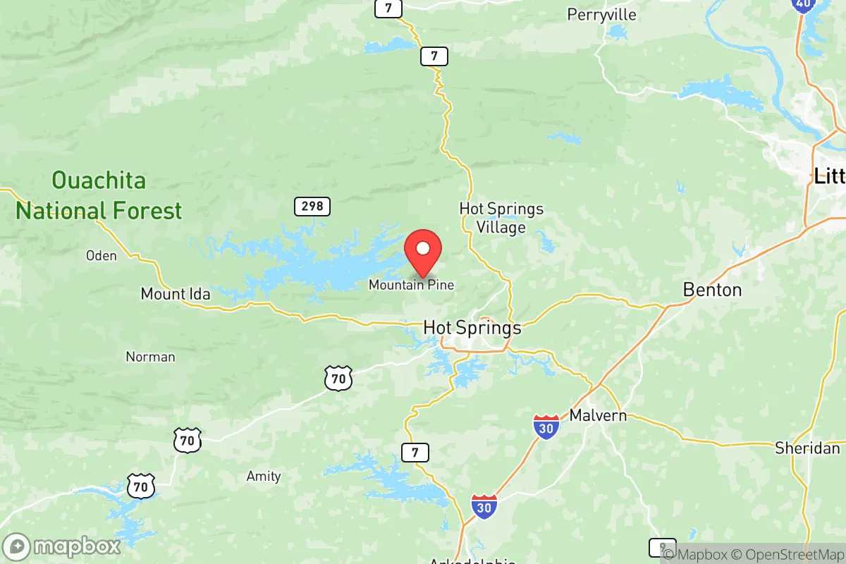
Garland County sits in the Ouachita Mountains, a region of folded ridges and valleys that provide natural defensibility and microclimate advantages. The county seat, Hot Springs, is roughly 55 miles southwest of Little Rock and 150 miles west of Memphis, placing it outside the immediate blast and fallout zones of those major population centers. The terrain itself—steep hills, dense hardwood forests, and limited major highway corridors—acts as a natural buffer against large-scale movement, whether from economic disruption or civil unrest. The area’s elevation, ranging from 400 to over 1,400 feet, reduces flood risk compared to the Arkansas River Valley to the north, and the local geology supports abundant groundwater and spring-fed systems. Lake Hamilton, Lake Ouachita, and Lake Catherine form a contiguous water network that not only supports recreation but also provides a reliable surface water supply for communities like Hot Springs, Mountain Pine, and Fountain Lake. For a relocator prioritizing water security, this is a significant advantage over much of the arid West or the chemically burdened watersheds of the industrial Midwest.
Risks, exposures, and proximity to fallout-relevant landmarks
No strategic assessment is complete without acknowledging vulnerabilities. Garland County’s primary man-made risk exposure comes from its proximity to the Arkansas Nuclear One plant, located roughly 70 miles southeast near Russellville. While 70 miles is outside the typical 10-mile plume exposure zone, prevailing wind patterns and the potential for a catastrophic release mean that fallout could reach the county under certain conditions. Additionally, the county lies within 200 miles of the Pine Bluff Arsenal, a chemical weapons storage and demilitarization facility, and the Titan I missile silo remnants near Damascus, though these are largely decommissioned. On the natural hazard side, the region experiences occasional tornadoes—Garland County is in the southern edge of Tornado Alley—and ice storms that can knock out power for days. The 2009 ice storm that crippled much of Arkansas is still referenced locally. However, the county is not in a hurricane zone, has negligible seismic risk, and faces no tsunami or wildfire threat comparable to the West Coast. For a relocator weighing these factors, the key takeaway is that Garland County’s risks are moderate and largely weather-related, not tied to high-value military or industrial targets that would attract a first-strike scenario.
Practical resilience for a relocator: food, water, energy, and defensibility
For someone serious about self-sufficiency, Garland County offers a strong baseline. The growing season runs roughly 210 days, supporting vegetable gardens, fruit trees, and small livestock. Local farmers’ markets in Hot Springs and the surrounding communities like Pearcy and Jessieville provide fresh produce and meat, and the county has a network of feed stores, hardware suppliers, and agricultural co-ops that support a semi-rural lifestyle. Water is the standout asset: Lake Ouachita, the largest lake entirely within Arkansas, holds over 600 billion gallons of water and is fed by the Ouachita River and numerous springs. Many homes in the county have access to well water, and the Hot Springs area is famous for its thermal springs, which provide a year-round, gravity-fed water source. For energy, the county is served by Entergy Arkansas and several rural electric cooperatives, but solar potential is moderate—about 4.5 peak sun hours per day—and wood heating is common due to abundant timber. Defensibility is aided by the terrain: the winding, narrow roads through the Ouachita National Forest make large-scale approach difficult, and the county’s low population density (roughly 100 people per square mile outside Hot Springs) means fewer eyes on your property. That said, the area is not a fortress—there are only two main highways (US-70 and US-270) in and out of the county, which could become chokepoints in a mass evacuation scenario. For a family, the practical calculus is that Garland County provides enough natural resources and geographic insulation to ride out most disruptions, provided you secure your own water and heat sources.
The overall strategic picture for Garland County is one of balanced resilience. It lacks the extreme isolation of the Montana or Idaho backcountry, but it also avoids the vulnerabilities of deep rural areas that are hours from medical care or supply chains. For a conservative-leaning relocator who values community, church networks, and a culture of preparedness—Garland County has a strong gun culture, active 4-H programs, and a history of mutual aid during ice storms and floods—the area offers a workable middle ground. The presence of Hot Springs National Park and the VA hospital in Hot Springs ensures that federal resources and medical infrastructure remain local priorities. The county is not immune to risk, but its combination of water abundance, moderate climate, terrain defensibility, and distance from primary targets makes it a defensible choice for families and individuals thinking seriously about long-term stability. If your strategy is to be close enough to civilization to function, but far enough to survive its collapse, Garland County deserves a hard look.

* Values derived from national, state, county, city and local statistics and may differ in a specific area. Last updated: 2026-06-28T23:09:21.000Z
Narrative content on this page is AI-generated and may contain mistakes. Verify any details that matter before acting on them.
ReloMaps may earn a commission from affiliate links at no extra cost to you.

