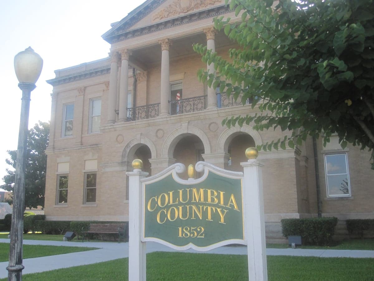
Photo: Wikipedia
Strategic Assessment of Columbia County
Strong survivability profile. Good buffer from population centers, with manageable environmental and tactical risks.
What does the Strategic Assessment tell us?
Our Strategic Assessment grades tactical survivability of an area. Major population centers, military targets, fallout zones, natural disasters, and border exposure all drive risk — lower exposure means a more defensible position in a crisis.
This is heavily inspired by Joel Skousen's Strategic Relocation book. Highly recommended you checkout the book ($)What does this tell us?
Our Strategic Assessment grades tactical survivability of an area. Major population centers, military targets, fallout zones, natural disasters, and border exposure all drive risk — lower exposure means a more defensible position in a crisis.
This is heavily inspired by Joel Skousen's Strategic Relocation book. Highly recommended you checkout the book ($)Strategic Pillars

Key Distances
Strategic Assessment Analysis
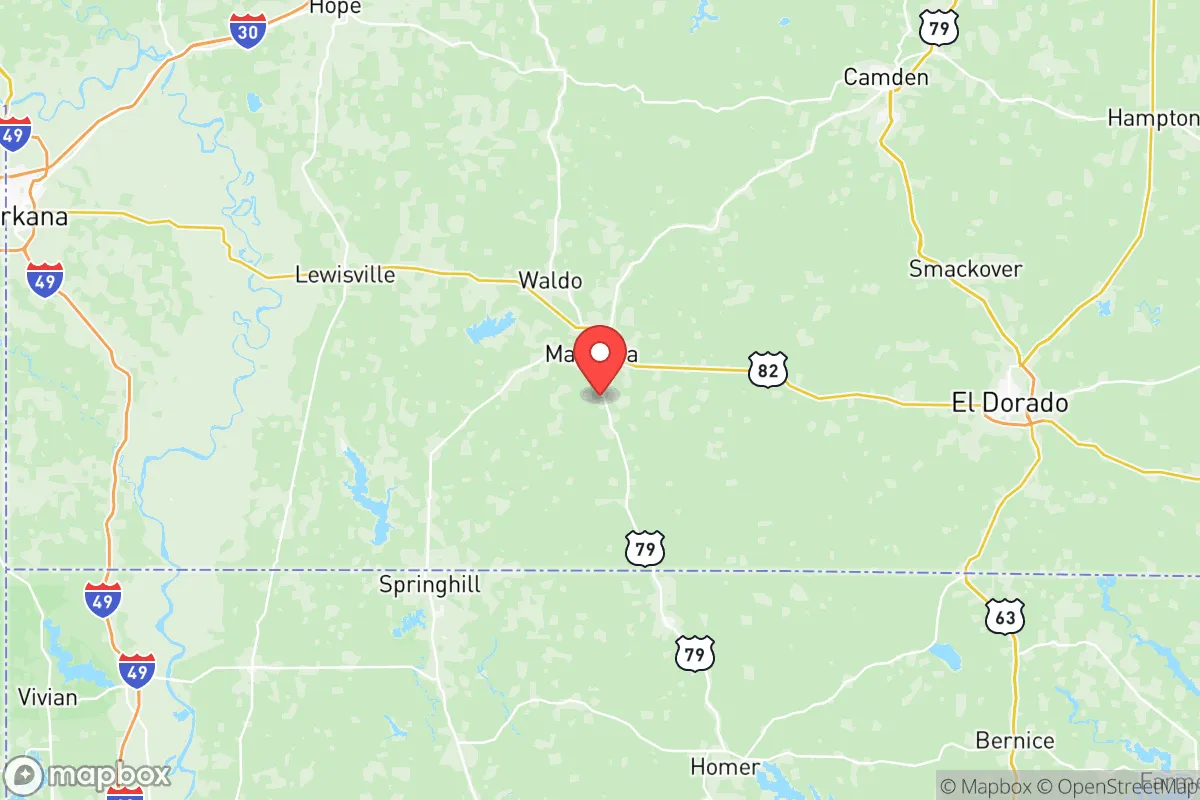
Columbia County, Arkansas, offers a compelling strategic profile for relocators prioritizing resilience and self-sufficiency, balancing deep rural security with access to regional infrastructure. Anchored by the county seat of Magnolia and the smaller communities of Waldo, Taylor, and Emerson, the area sits in the southwestern corner of the state, roughly 30 miles from the Louisiana border and 60 miles east of Texas. This positioning places it outside the immediate blast and fallout zones of major metropolitan targets like Dallas-Fort Worth, Houston, or Little Rock, while still being within a half-day drive of those cities for supply runs or medical access. The county’s low population density—around 23,000 residents spread over 867 square miles—and its agricultural and timber-based economy provide a baseline of food security and spatial buffer that many urban-adjacent relocation zones lack.
Geographic position and natural advantages for long-term security
Columbia County sits atop the West Gulf Coastal Plain, a region characterized by gently rolling hills, abundant hardwood and pine forests, and a network of rivers and creeks that feed into the Ouachita River system. The area’s primary water artery is the Little Missouri River, which runs through the northern part of the county near the community of McNeil, and the Ouachita River itself forms part of the county’s eastern boundary. These waterways provide reliable surface water sources for irrigation, livestock, and emergency use, a critical advantage in grid-down scenarios. The topography offers natural defensibility: the mixed woodlands provide cover and concealment, while the lack of major mountain passes or chokepoints means the area is not a natural corridor for large-scale population movement during a crisis. The climate is humid subtropical, with mild winters and long growing seasons—typically 220 to 240 frost-free days per year—which supports year-round food production. Soils in the river bottoms are fertile loams, while upland areas are well-drained and suitable for orchards and pasture. For a relocator, this means the land can sustain a homestead without requiring intensive inputs, and the region’s history of small-scale farming and timber harvesting means local knowledge and equipment are available.
Risk exposure: natural hazards and proximity to fallout-relevant landmarks
While Columbia County avoids the worst of coastal hurricane impacts, it is not immune to severe weather. The region lies in Tornado Alley’s southern extension, with an average of 10 to 15 tornado warnings per year, and the April 2020 outbreak that struck Magnolia directly is a reminder that violent storms are a recurring threat. Flash flooding along the Little Missouri and Ouachita Rivers is a periodic concern, particularly in low-lying areas near Lake Columbia and the Waldo bottoms. Wildfire risk is moderate, primarily in dry late-summer conditions, but the dense pine forests can carry fire quickly if not managed. From a man-made risk perspective, the county’s primary exposure is not from a direct nuclear strike—there are no major military bases, refineries, or strategic targets within the county—but from fallout drift. The nearest high-value targets are the Texarkana metropolitan area (population 150,000, with rail yards and interstate bridges) 40 miles to the west, and the El Dorado chemical and oil refining complex 30 miles to the east. In a major exchange, prevailing westerly winds would carry fallout from Texarkana toward Columbia County, while easterly winds from El Dorado could also pose a hazard. The county’s distance from Fort Johnson (formerly Fort Polk) in Louisiana, about 90 miles south, and Camp Robinson near Little Rock, 120 miles north, reduces direct blast risk but does not eliminate the possibility of secondary effects from disrupted supply chains and refugee movement. The Arkansas Nuclear One plant near Russellville is 180 miles north, well outside the 50-mile ingestion pathway zone, but a catastrophic failure could still affect regional agriculture.
Practical resilience for a relocator: food, water, energy, and defensibility
For a relocator serious about self-sufficiency, Columbia County offers a strong baseline in all four pillars of practical resilience. Food security is the standout advantage: the county is part of Arkansas’s agricultural heartland, with row crops (soybeans, corn, cotton), cattle ranching, and timber production forming the economic base. The Magnolia Farmers Market and local producers like Columbia County Farm Bureau provide direct access to seeds, livestock, and farming supplies. Deer and turkey populations are robust, making hunting a viable protein source, and the Louisiana Purchase Natural Area and Pond Creek National Wildlife Refuge offer public land access. Water availability is excellent: the county’s groundwater aquifers are shallow and productive, and surface water from the Little Missouri and Ouachita Rivers is accessible with proper filtration. Most rural properties already have private wells, and the county’s average annual rainfall of 52 inches means rainwater catchment is highly effective. Energy resilience is moderate: the grid is served by Southwest Arkansas Electric Cooperative, which has a history of storm-related outages, but the region’s high solar insolation (4.5 to 5.0 peak sun hours per day) makes solar panels a practical investment. Natural gas is available in Magnolia and some outlying areas, but many rural homes rely on propane, which requires storage and delivery. Defensibility is the county’s hidden strength: the dispersed population, dense forest cover, and limited road network (primarily US-79, US-82, and AR-19) create natural buffers against large-scale incursion. The county’s law enforcement presence is thin—the Columbia County Sheriff’s Office and Magnolia Police Department cover the area with fewer than 50 sworn officers total—which means community-based security arrangements are the norm in rural areas. The Columbia County Emergency Management Office coordinates disaster response, but individual preparedness is expected.
The overall strategic picture for Columbia County is one of balanced, low-profile resilience. It is not a hardened redoubt or a prepper enclave, but a working rural county where self-sufficiency is still a living tradition rather than a lifestyle choice. Its greatest strength is its agricultural capacity and water abundance, which would make it a net food producer in a crisis rather than a net consumer. Its primary vulnerabilities are tornado risk and potential fallout drift from Texarkana or El Dorado, both of which can be mitigated with proper shelter and situational awareness. For a relocator who wants to be close enough to regional medical and supply hubs to access them in normal times, but far enough to avoid the worst of urban collapse scenarios, Columbia County represents a solid, defensible middle ground. The key is to secure a property with a well, south-facing roof for solar, and good drainage—and to get involved with the local community before a crisis forces the issue.

* Values derived from national, state, county, city and local statistics and may differ in a specific area. Last updated: 2026-06-23T12:51:58.000Z
Narrative content on this page is AI-generated and may contain mistakes. Verify any details that matter before acting on them.
ReloMaps may earn a commission from affiliate links at no extra cost to you.

