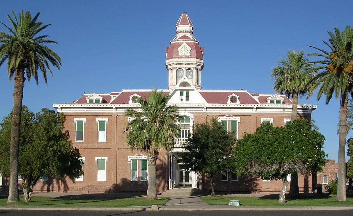
Photo: Wikipedia
Strategic Assessment of Pinal County
Meaningful friction. Expect exposure to either population pressure, blast zones, or natural disaster risk. Consider buying a retreat property.
What does the Strategic Assessment tell us?
Our Strategic Assessment grades tactical survivability of an area. Major population centers, military targets, fallout zones, natural disasters, and border exposure all drive risk — lower exposure means a more defensible position in a crisis.
This is heavily inspired by Joel Skousen's Strategic Relocation book. Highly recommended you checkout the book ($)What does this tell us?
Our Strategic Assessment grades tactical survivability of an area. Major population centers, military targets, fallout zones, natural disasters, and border exposure all drive risk — lower exposure means a more defensible position in a crisis.
This is heavily inspired by Joel Skousen's Strategic Relocation book. Highly recommended you checkout the book ($)Strategic Pillars

Key Distances
Strategic Assessment Analysis
Pinal County, Arizona, occupies a strategic middle ground between the Phoenix metro and Tucson, offering relocators a balance of rural space and access to urban infrastructure without being directly in a major target zone. Its position along the I-10 and I-8 corridors provides logistical advantages for supply movement and evacuation routes, while the county’s geography—high desert terrain with mountain ranges and agricultural valleys—supports a degree of natural buffering. For a reader prioritizing disaster readiness and self-sufficiency, Pinal County presents a credible option, but one that requires understanding its specific exposures and practical limitations.
Geographic position and natural advantages for self-sufficiency
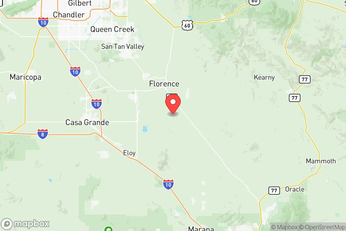
Pinal County sits in the Sonoran Desert, with elevations ranging from roughly 1,200 feet in the valleys to over 4,000 feet in the surrounding mountains, including the Superstition Mountains and the Tortolita Mountains. This varied terrain offers multiple microclimates and potential for dispersed settlement. The county is home to the towns of Casa Grande, Florence, Maricopa, and Apache Junction, each with distinct characteristics. Casa Grande and the surrounding agricultural areas benefit from the Central Arizona Project canal, which delivers Colorado River water—a critical resource in a desert state. The Gila River also runs through the southern part of the county, providing additional surface water access, though allocations are heavily regulated. The region’s natural advantages include low population density outside the urban corridors, abundant sunshine for solar energy generation, and existing agricultural infrastructure for local food production. The county’s position between two major metro areas means it is not a primary target for a strategic strike, but it is close enough to Phoenix (about 40 miles from Casa Grande to downtown) to serve as a relocation zone for those wanting proximity without direct exposure.
Risks, exposures, and proximity to fallout-relevant landmarks
Pinal County’s resilience profile is complicated by its proximity to several high-value infrastructure and military assets. Luke Air Force Base is located just west of the county line in Maricopa County, and Davis-Monthan Air Force Base is near Tucson to the south. Both are potential targets in a conflict scenario. Within Pinal County itself, the Coolidge Generating Station (a natural gas power plant) and the Palo Verde Nuclear Generating Station—located about 50 miles west near Tonopah—are notable. Palo Verde is the largest nuclear power plant in the United States by net generation, and while it is not within Pinal County’s borders, its proximity means that prevailing winds could carry fallout across parts of the county in a worst-case event. The county also hosts the Florence Federal Correctional Institution and several state prisons, which could become logistical or security liabilities during a breakdown of civil order. Natural risks include extreme heat, drought, and the potential for flash flooding in arroyos during monsoon season. Wildfire risk is moderate in the mountainous areas, particularly around the Superstitions and near the Tonto National Forest boundary. For a relocator, the primary man-made risk is the concentration of military and energy infrastructure within a 50-mile radius, rather than direct targeting of the county itself.
Practical resilience for a relocator: food, water, energy, and defensibility
Water is the most critical factor for self-sufficiency in Pinal County. The region relies heavily on groundwater and the Central Arizona Project, both of which are subject to legal and physical constraints. Agricultural water use dominates, with cotton, alfalfa, and pecans being major crops. A relocator seeking a property with a private well should verify the depth and yield of the aquifer in their specific area, as some parts of the county have experienced groundwater depletion. For off-grid energy, solar is the obvious choice: Pinal County averages over 300 sunny days per year, and net metering policies are favorable for grid-tied systems. Battery storage is advisable given the county’s exposure to summer heat waves that can strain the grid. Food resilience is supported by local agriculture, including the Casa Grande Valley and the Pinal County Farmers Market network, but a relocator should plan for a significant portion of their own food production if they want true self-sufficiency. Defensibility varies by location: the mountain foothills near Oracle or Kearny offer natural chokepoints and visibility, while the flatter agricultural areas around Eloy are more open and harder to secure. The county’s rural character means that law enforcement response times can be long, and residents should be prepared for self-reliance in security and medical emergencies. Overall, Pinal County offers a workable foundation for a resilience-minded relocator, provided they secure a reliable water source, invest in solar and battery infrastructure, and choose a location with natural defensibility.
In the broader strategic picture, Pinal County represents a moderate-risk, moderate-reward option for those prioritizing disaster readiness. Its geographic position buffers it from the most direct threats while keeping urban resources within reach. The county’s agricultural base, solar potential, and relatively low population density are genuine advantages. However, the presence of military bases, a major nuclear plant, and water constraints mean that a relocator must be deliberate about property selection and infrastructure investment. For a single individual or family willing to do the groundwork—securing a well, installing off-grid power, and choosing a defensible parcel—Pinal County can serve as a viable long-term base. It is not a remote survivalist retreat, but it is a practical, accessible option for those who want to be prepared without leaving the Southwest entirely.

* Values derived from national, state, county, city and local statistics and may differ in a specific area. Last updated: 2026-07-17T22:43:09.000Z
Narrative content on this page is AI-generated and may contain mistakes. Verify any details that matter before acting on them.
ReloMaps may earn a commission from affiliate links at no extra cost to you.

