
Photo: Wikipedia
Strategic Assessment of Colbert County
Workable tactical position. Some exposure to population density or targets, but generally defensible in a crisis.
What does the Strategic Assessment tell us?
Our Strategic Assessment grades tactical survivability of an area. Major population centers, military targets, fallout zones, natural disasters, and border exposure all drive risk — lower exposure means a more defensible position in a crisis.
This is heavily inspired by Joel Skousen's Strategic Relocation book. Highly recommended you checkout the book ($)What does this tell us?
Our Strategic Assessment grades tactical survivability of an area. Major population centers, military targets, fallout zones, natural disasters, and border exposure all drive risk — lower exposure means a more defensible position in a crisis.
This is heavily inspired by Joel Skousen's Strategic Relocation book. Highly recommended you checkout the book ($)Strategic Pillars

Key Distances
Strategic Assessment Analysis
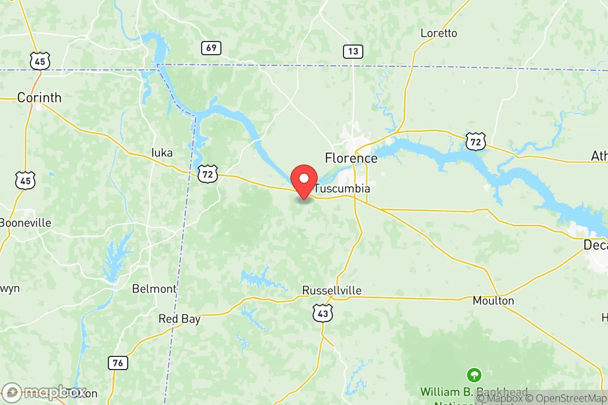
Colbert County, Alabama, offers a compelling mix of geographic isolation and strategic access for those prioritizing resilience and self-sufficiency. Anchored by the Tennessee River and the city of Muscle Shoals, the area sits far from major metropolitan targets like Atlanta or Nashville, yet remains within a practical driving distance of Huntsville and Birmingham for supply runs or medical care. The county’s position in the northwestern corner of the state, bordered by the river and the Tennessee state line, provides a natural buffer against the sprawl and congestion that plague more populated regions, making it a viable option for relocators who value preparedness without complete remoteness.
Geographic position and natural advantages for long-term security
Colbert County’s defining geographic feature is the Tennessee River, which not only provides a reliable water source but also creates a natural defensive barrier along much of its southern and eastern borders. The river’s width and flow rate make it a significant obstacle for any uncontrolled movement, while the surrounding terrain—rolling hills and mixed hardwood forests—offers ample cover and limited lines of sight from major highways. The county is bisected by US Highway 72 and Alabama Highway 20, but these corridors are easily monitored and controlled compared to the interstate systems near larger cities. The Wilson Dam and Wheeler Dam, both within or adjacent to the county, are critical infrastructure points: they generate hydroelectric power and regulate water flow, but they also represent potential vulnerabilities. For a relocator, the key advantage is the area’s low population density—roughly 55,000 residents spread over 600 square miles—which reduces competition for resources in a crisis scenario. The proximity to the Bankhead National Forest to the south and the William B. Bankhead National Forest to the east provides additional buffer zones and potential foraging or hunting grounds.
Risks, exposures, and proximity to fallout-relevant landmarks
While Colbert County avoids the direct blast zones of major metropolitan areas, it is not without its own risk profile. The Tennessee Valley Authority’s (TVA) Browns Ferry Nuclear Plant is located just across the river in Limestone County, roughly 20 miles east of Muscle Shoals. This is a significant consideration for anyone assessing fallout exposure: a major incident at Browns Ferry could affect downwind areas, including parts of Colbert County, depending on prevailing winds. Additionally, the county is within 100 miles of the Redstone Arsenal in Huntsville, a major Army base and missile defense hub, which could be a target in a conflict scenario. The Tennessee River itself is a strategic waterway, and the numerous locks and dams—including Wilson Lock and Dam—are potential chokepoints that could draw attention. Natural risks are more manageable: the area experiences occasional tornadoes (part of the Dixie Alley corridor) and flash flooding along the river and its tributaries, but it is not prone to hurricanes, earthquakes, or wildfires at the scale seen in other regions. The primary man-made risk is the nuclear facility, which requires a realistic assessment of evacuation routes and shelter-in-place plans.
Practical resilience for a relocator: food, water, energy, and defensibility
For a relocator focused on self-sufficiency, Colbert County offers strong fundamentals. The Tennessee River provides an abundant, year-round water source, though treatment and filtration will be necessary for drinking. The region’s agricultural heritage means fertile soil and a long growing season (Zone 7b/8a), supporting gardens, orchards, and small-scale livestock operations. Local farms and farmers’ markets in towns like Tuscumbia and Sheffield provide immediate access to fresh produce and livestock, while the county’s rural zoning allows for private wells, septic systems, and off-grid energy setups. The TVA grid supplies electricity, but the presence of hydroelectric dams means a more resilient power infrastructure than areas reliant solely on distant coal or gas plants. Solar potential is moderate—the area gets about 210 sunny days per year—but sufficient for supplemental power. Defensibility is aided by the river and the patchwork of small towns (Muscle Shoals, Sheffield, Tuscumbia, and Leighton) that create natural community clusters. These towns have existing social networks, local law enforcement, and volunteer fire departments that can be leveraged for mutual aid. The main weakness is the lack of a major medical center within the county; the closest trauma center is in Huntsville, about 60 miles east, which is a significant gap for long-term resilience planning.
The overall strategic picture for Colbert County is one of moderate-to-high resilience for a relocator willing to prepare. It avoids the worst fallout risks of the Gulf Coast refineries, the Atlanta metro, or the Huntsville defense complex, while still being close enough to access those resources if needed. The Tennessee River is both a lifeline and a liability—it provides water and power, but also introduces the nuclear plant risk and potential for flooding. For a family or individual serious about disaster readiness, the county offers a realistic balance: enough isolation to avoid the chaos of urban collapse, but enough infrastructure and community to avoid the complete isolation of deep rural areas. The key is to secure a property with good elevation away from the river’s floodplain, establish a reliable water filtration system, and build relationships with neighbors in the Muscle Shoals or Tuscumbia areas. Colbert County is not a fortress, but it is a defensible, resource-rich position for those who treat relocation as a long-term strategy rather than a quick escape plan.

* Values derived from national, state, county, city and local statistics and may differ in a specific area. Last updated: 2026-06-15T23:06:04.000Z
Narrative content on this page is AI-generated and may contain mistakes. Verify any details that matter before acting on them.
ReloMaps may earn a commission from affiliate links at no extra cost to you.

