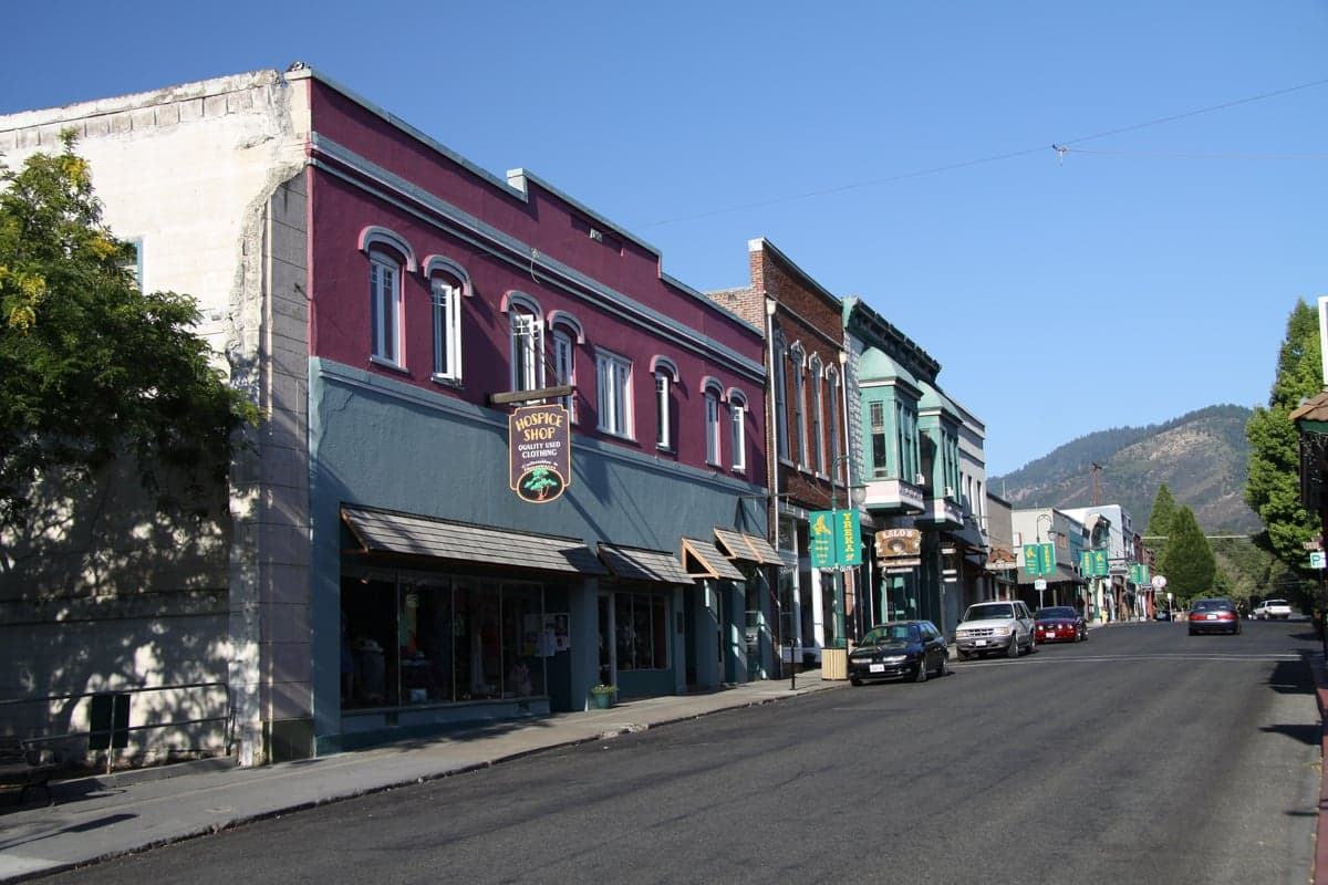
Photo: Wikipedia
Strategic Assessment of Yreka, CA
Strong survivability profile. Good buffer from population centers, with manageable environmental and tactical risks.
What does the Strategic Assessment tell us?
Our Strategic Assessment grades tactical survivability of an area. Major population centers, military targets, fallout zones, natural disasters, and border exposure all drive risk — lower exposure means a more defensible position in a crisis.
This is heavily inspired by Joel Skousen's Strategic Relocation book. Highly recommended you checkout the book ($)What does this tell us?
Our Strategic Assessment grades tactical survivability of an area. Major population centers, military targets, fallout zones, natural disasters, and border exposure all drive risk — lower exposure means a more defensible position in a crisis.
This is heavily inspired by Joel Skousen's Strategic Relocation book. Highly recommended you checkout the book ($)Strategic Pillars

Key Distances
Regional Safe Places
Below is our recommended "safe zones" in California and the surrounding area based on our strategic heuristics. For most people, it's unrealistic to live in a “safe zone” full-time due to work, family or other personal reasons. They tend to be more rural. However, many of these areas are perfect for second homes and retreat properties that double as a vacation home or even a short-term rental.

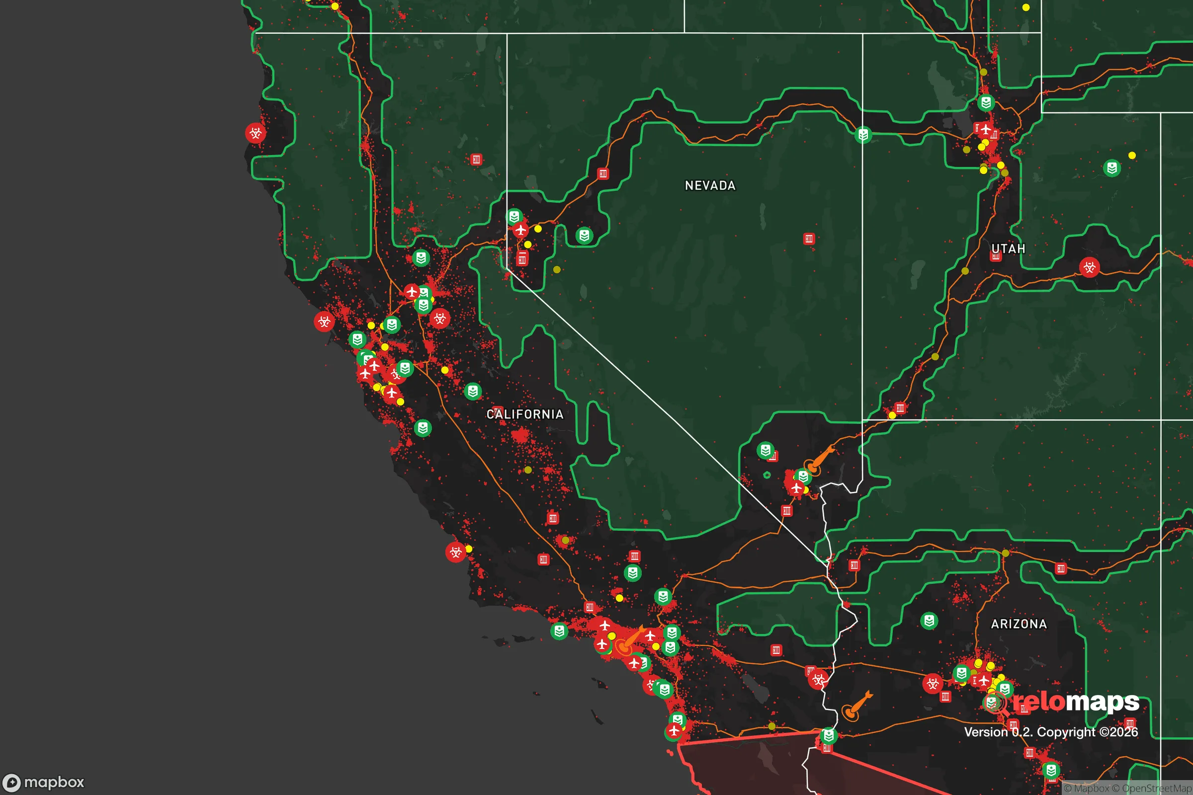


Important Note: For informational purposes only. This does not mean nothing bad ever happens in the green zones. Please use common sense. This is based on public data and modeled with AI. We tried to take a conservative approach but mistakes happen. We update this regularly as new information becomes available.
Solar Generator Recommendations
Backup power matters more here than in safer locations. We've picked three solar generators across budgets and capacity tiers — start with the budget unit if you only need a few essentials, or step up if you want to run a fridge and HVAC for days at a time.

Jackery Portable Power Station Explorer 300
Budget OptionPower on the Go: Weighing only 11 lbs, it's convenient to set up and store with book-sized foldable solar panels

BLUETTI Portable Power Station AC180
Designed for both indoor and outdoor scenarios, AC180 is highly capable as it has a robost capacity and continuous output power.

EF ECOFLOW DELTA Pro Ultra Power Station
Upgraded PickEcoFlow DELTA Pro Ultra is a whole-home energy system designed to grow with your family. Integrated with the Smart Home Panel 2, it scales to meet your evolving energy needs — keeping your home powered, intelligent, and secure through every stage of life.
We earn a commission, at no additional cost to you.
Strategic Assessment Analysis
Yreka, California, offers a compelling strategic profile for those prioritizing resilience and self-sufficiency, anchored by its remote location in the far northern reaches of the state and its position as the seat of Siskiyou County. The town’s primary advantage is its distance from major metropolitan targets—roughly 250 miles from Sacramento and 300 miles from Portland—placing it well outside the immediate fallout and chaos zones of high-value population centers. This geographic buffer, combined with a modest population of around 7,800 and a county-wide population density of just 11 people per square mile, creates a foundation for a low-profile, defensible lifestyle that appeals to relocation-minded individuals and families seeking to reduce their exposure to cascading societal disruptions.
Geographic position and natural advantages for long-term stability
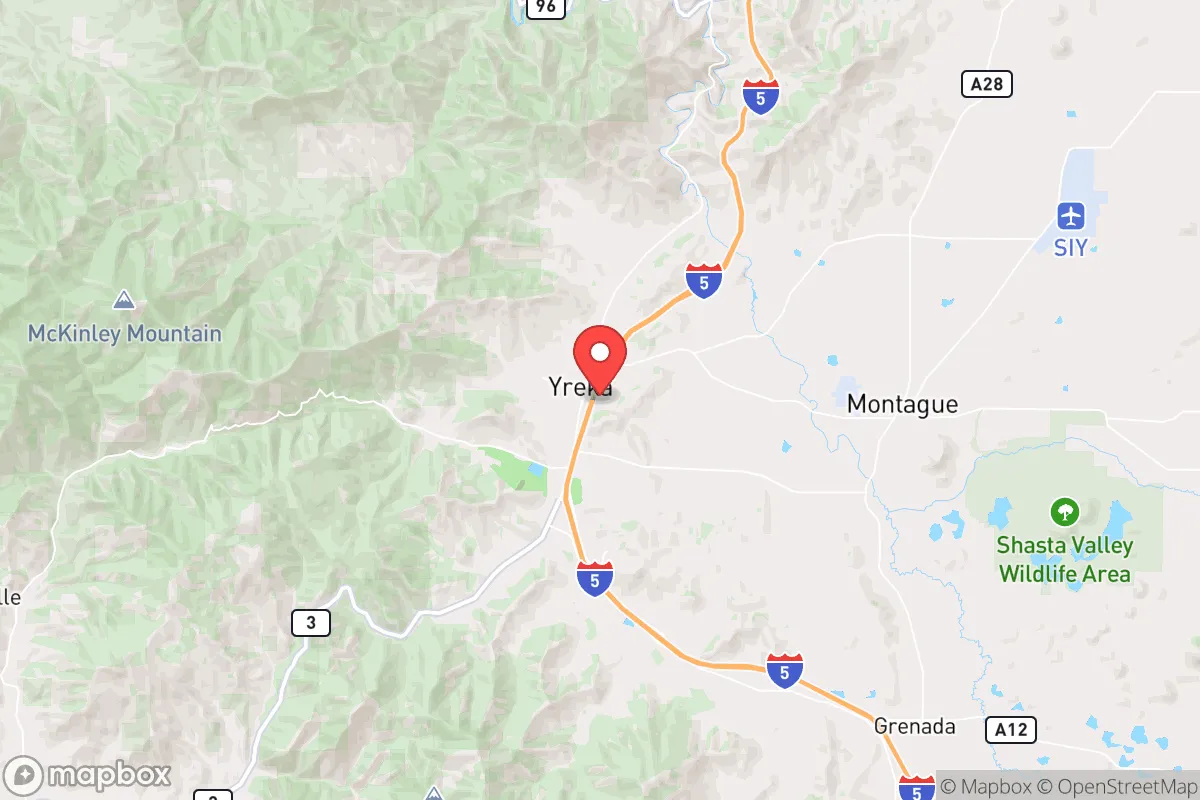
Yreka sits in the Shasta Valley at the confluence of Interstate 5 and State Route 3, a position that provides both strategic access and natural insulation. The surrounding landscape is dominated by the Klamath Mountains to the west and the Cascade Range to the east, creating a natural fortress of rugged terrain that limits approach routes and slows the movement of large groups. The area’s elevation of roughly 2,500 feet gives it a four-season climate with cold winters and dry summers, which reduces the risk of many vector-borne diseases and limits the growing season for certain pests. Water availability is a standout asset: the Shasta River and the Klamath River systems run through the county, and the region’s annual precipitation averages around 20 inches, supplemented by significant snowpack in the surrounding mountains. This water abundance is rare in California and positions Yreka favorably for long-term agricultural and household self-sufficiency. The local geology is also stable—earthquake risk is moderate but far lower than in coastal or fault-line zones like the Bay Area or Los Angeles, and the area is not prone to the catastrophic wildfires that plague southern and central parts of the state, though some risk exists in dry years.
Risks, exposures, and proximity to fallout-relevant landmarks
While Yreka’s remoteness is a strength, it is not without exposure. The most significant man-made risk is its proximity to Interstate 5, a major north-south corridor that could become a chokepoint or target during a national emergency. The interstate runs directly through town, meaning that any large-scale evacuation or disruption in the Pacific Northwest could funnel displaced populations or military traffic through Yreka. Additionally, the town is roughly 40 miles south of the Oregon border and about 60 miles from the Klamath Falls area, which hosts a modest population center and a regional airport that could be a secondary target. The nearest major infrastructure of concern is the Bureau of Reclamation’s Klamath River dams—including the Iron Gate and Copco dams, which are undergoing removal as of 2024—but their deconstruction reduces the risk of catastrophic dam failure. More critically, Yreka lies about 120 miles from the Portland metro area and 150 miles from the Sacramento Valley, both of which are plausible targets for conventional or asymmetric attacks. Fallout patterns from a nuclear event in either city would likely drift east or northeast given prevailing winds, placing Yreka in a relatively safe zone, but a ground burst in Portland could still deposit measurable fallout in the region within 12–24 hours. The area also has a modest but present risk of wildfire, particularly in late summer and fall, though the town’s location in a valley with irrigated agriculture provides some natural firebreak. Seismic risk is low but not zero—the Cascadia subduction zone is 200 miles west, and a major event there would cause shaking but likely no tsunami threat this far inland.
Practical resilience for a relocator: food, water, energy, and defensibility
For a relocator serious about self-sufficiency, Yreka’s practical resilience is above average for a rural California town. Water is the strongest asset: the Shasta Valley aquifer is productive, and many properties have access to wells or surface water rights. The city’s municipal water supply comes from the Shasta River, and backup groundwater sources exist. Food production is feasible but requires effort—the growing season is short (roughly 100–120 frost-free days), limiting crops to cold-hardy varieties like potatoes, carrots, kale, and grains. However, the surrounding ranchland supports cattle, sheep, and hay production, and local farmers’ markets and co-ops provide access to fresh meat and produce. Hunting and fishing are viable: deer, elk, and waterfowl are abundant in the Klamath National Forest, and the Klamath and Shasta rivers offer salmon and trout runs. Energy is a mixed picture—the grid is served by Pacific Power, and outages are common during winter storms, but solar potential is good (over 200 sunny days per year), and many rural properties already use propane or wood for heating. The area’s defensibility is strong due to the limited road network: I-5 is the primary artery, and secondary roads like Highway 3 and Highway 96 are narrow and winding, making them easy to monitor or block. The town itself is compact, with a walkable downtown and residential neighborhoods that are not densely packed, reducing the risk of rapid disease spread or civil unrest. The local population skews older and more conservative, with a strong culture of hunting, firearms ownership, and neighborly mutual aid—factors that can be stabilizing in a crisis. The Siskiyou County Sheriff’s Office and local police are generally responsive, but response times in outlying areas can exceed 30 minutes, so self-reliance is expected.
Overall, Yreka presents a balanced strategic picture for the resilience-minded relocator. Its greatest strengths are its remoteness from major targets, abundant water resources, and defensible terrain, while its primary weaknesses are its reliance on a single major highway and a short growing season. For a family or individual willing to invest in off-grid infrastructure—solar panels, a well, a greenhouse, and a wood stove—the area offers a realistic path to long-term self-sufficiency without the extreme isolation of places like far northern Idaho or Montana. The trade-off is a modest local economy (primarily government, healthcare, and timber) and limited access to specialized medical care or supplies, which requires advance planning. For those who prioritize strategic depth over convenience, Yreka is a solid, unglamorous choice that avoids the hype of more popular relocation destinations while delivering real, grounded resilience.

* Values derived from national, state, county, city and local statistics and may differ in a specific area. Last updated: 2026-10-29T07:39:57.000Z
Narrative content on this page is AI-generated and may contain mistakes. Verify any details that matter before acting on them.
ReloMaps may earn a commission from affiliate links at no extra cost to you.

