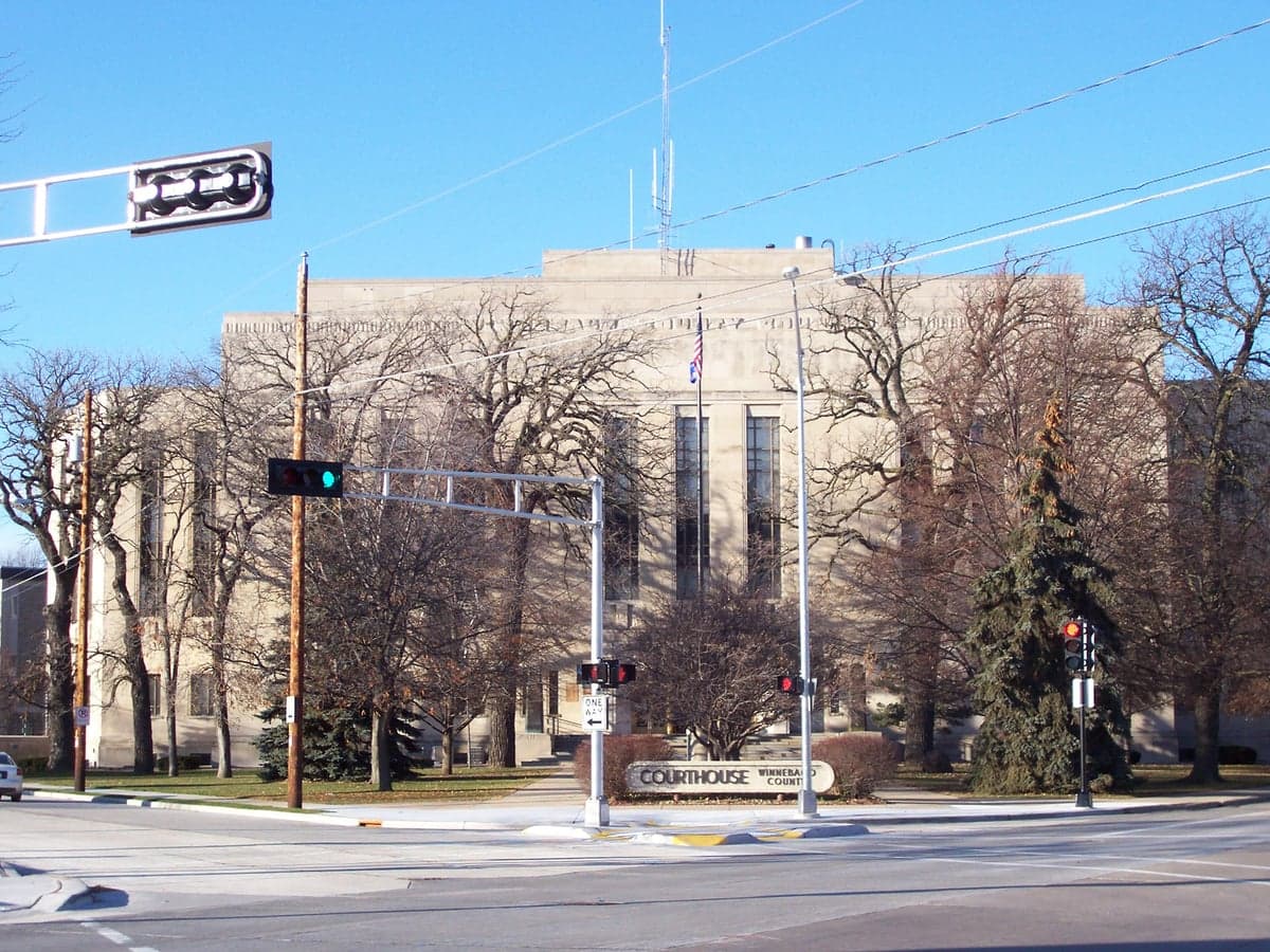
Photo: Wikipedia
Strategic Assessment of Winnebago County
Meaningful friction. Expect exposure to either population pressure, blast zones, or natural disaster risk. Consider buying a retreat property.
What does the Strategic Assessment tell us?
Our Strategic Assessment grades tactical survivability of an area. Major population centers, military targets, fallout zones, natural disasters, and border exposure all drive risk — lower exposure means a more defensible position in a crisis.
This is heavily inspired by Joel Skousen's Strategic Relocation book. Highly recommended you checkout the book ($)What does this tell us?
Our Strategic Assessment grades tactical survivability of an area. Major population centers, military targets, fallout zones, natural disasters, and border exposure all drive risk — lower exposure means a more defensible position in a crisis.
This is heavily inspired by Joel Skousen's Strategic Relocation book. Highly recommended you checkout the book ($)Strategic Pillars

Key Distances
Strategic Assessment Analysis
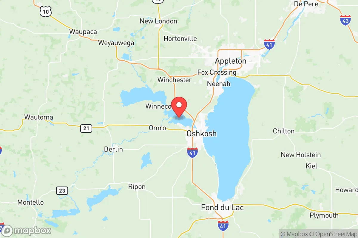
Winnebago County, Wisconsin, occupies a strategic position in the eastern part of the state, anchored by the Fox River and Lake Winnebago, the largest inland lake in Wisconsin. Its resilience profile is shaped by a mix of solid agricultural infrastructure, a dispersed population across cities like Oshkosh, Neenah, Menasha, and Appleton (the latter partially extending into Outagamie County), and a location that is far enough from major metropolitan targets like Chicago or Milwaukee to offer a meaningful buffer against fallout and cascading disruptions. For a relocator prioritizing self-sufficiency and disaster readiness, the county presents a balanced picture: genuine advantages in water and food security, but real exposures tied to industrial infrastructure and transportation corridors that could become liabilities in a crisis.
Geographic position and natural advantages for long-term stability
Winnebago County sits at the nexus of the Fox River Valley and the Lake Winnebago watershed, giving it access to one of the most reliable freshwater sources in the Midwest. Lake Winnebago itself holds roughly 1.4 trillion gallons of water, and the Fox River runs through the heart of the county, providing surface water that is both abundant and, with proper treatment, potable. The county's terrain is predominantly flat to gently rolling, with fertile soils that support a robust agricultural sector — dairy, corn, soybeans, and livestock operations are common, especially in the rural townships surrounding the urbanized Fox Cities area. This agricultural base means that, in a prolonged disruption, local food production capacity is significantly higher than in most suburban or exurban counties. The climate is continental, with cold winters that can stress off-grid heating systems but also suppress many vector-borne diseases and reduce the year-round pest pressure seen in warmer regions. The county's position roughly 90 miles north of Milwaukee and 100 miles west of Green Bay places it outside the immediate blast and fallout zones of those cities, though not entirely beyond the reach of dispersed fallout patterns depending on wind direction. The presence of Wittman Regional Airport in Oshkosh and the Outagamie County Regional Airport near Appleton provides logistical redundancy for air transport, though these would also be potential points of interest in a crisis.
Risk exposure: industrial targets, transportation corridors, and fallout proximity
The most significant resilience concern for Winnebago County is its concentration of industrial and logistical infrastructure that could become secondary targets or sources of hazardous material releases. Oshkosh is home to Oshkosh Defense, a major manufacturer of military vehicles including the Joint Light Tactical Vehicle (JLTV) and heavy tactical trucks for the U.S. Department of Defense. This facility is a plausible high-value target in a conflict scenario, and its proximity to the Fox River and residential areas means any strike or accident could produce localized fallout, chemical releases, or cascading infrastructure failures. The county is also bisected by U.S. Highway 41, a major north-south corridor that connects Milwaukee to Green Bay and the Upper Peninsula, and by several rail lines operated by Canadian National and Wisconsin & Southern Railroad. These transportation arteries carry freight — including hazardous materials — through the heart of the Fox Cities. A derailment or targeted disruption could affect water quality or force evacuations. Additionally, the county's position downwind of the Chicago metropolitan area (roughly 150 miles south) and Milwaukee means that, under prevailing southwesterly winds, fallout from a nuclear event in those cities could reach Winnebago County within hours. The risk is moderate but real, and relocators should factor in wind patterns and have a plan for sheltering or temporary relocation if such an event occurs. There are no active nuclear power plants within the county — the nearest is the Point Beach Nuclear Plant in Manitowoc County, about 50 miles northeast — but the county does host several large propane and fuel storage facilities, particularly around the Neenah and Menasha industrial districts, which present explosion and fire risks in a destabilized environment.
Practical resilience for a relocator: food, water, energy, and defensibility
For someone serious about self-sufficiency, Winnebago County offers a workable foundation with some notable gaps. Water access is the strongest asset: Lake Winnebago and the Fox River provide surface water that can be treated with basic filtration and boiling, and the water table is generally high, making well drilling feasible in most rural and suburban parcels. The county's municipal water systems in Oshkosh, Neenah, and Menasha draw from the lake and river, but relocators should assume that grid-supplied water could be compromised in a crisis and plan for independent sources. Food resilience is above average: the county has dozens of active farms, farmers' markets, and a strong network of local food processors, including the Lakeside Foods facility in nearby Manitowoc County and several small canneries and dairies within the region. However, the Fox Cities area is densely populated — roughly 170,000 people across the urbanized core — which means that in a prolonged grid-down scenario, local food supplies would be strained quickly. Relocators should prioritize acreage in the more rural townships like Algoma, Vinland, or Nekimi, where neighbors are fewer and land for gardening or small livestock is available. Energy resilience is a mixed picture: the county is served by Wisconsin Public Service and We Energies, with a grid that is generally reliable but vulnerable to ice storms and high winds. Solar potential is moderate — Wisconsin averages about 180 sunny days per year, less than the Southwest but enough for a well-sized off-grid system with battery storage. Wood heating is viable given the county's forested areas, particularly in the eastern and northern townships, but relocators should plan for fuel storage and chimney maintenance. Defensibility is the weakest category: the county's flat terrain and dense road network make it difficult to secure a large property against determined groups. The best strategy is to choose a property with natural chokepoints — a dead-end road, a property bordered by water or wetlands, or one set back from major highways. The rural areas around Lake Butte des Morts and the northern shore of Lake Winnebago offer more seclusion than the suburban sprawl between Oshkosh and Appleton.
Overall, Winnebago County is a viable relocation option for the disaster-conscious reader who values water security and agricultural access but is willing to accept moderate industrial and transportation corridor risks. It is not a remote bunker location — it is a working county with real economic activity and population density — but it offers a better resilience profile than most of Wisconsin's urbanized southeast. The key is to choose a specific location carefully: avoid the industrial zones near Oshkosh's defense plants and the Neenah-Menasha paper mills, and instead target the rural townships with well water, woodlots, and distance from Highway 41. For a family or individual who wants to be prepared without going fully off-grid, Winnebago County provides a realistic middle ground — close enough to resources and community, far enough from the highest-risk targets.

* Values derived from national, state, county, city and local statistics and may differ in a specific area. Last updated: 2026-06-16T15:46:46.000Z
Narrative content on this page is AI-generated and may contain mistakes. Verify any details that matter before acting on them.
ReloMaps may earn a commission from affiliate links at no extra cost to you.

