
Photo: Wikipedia
Strategic Assessment of Washington County
Meaningful friction. Expect exposure to either population pressure, blast zones, or natural disaster risk. Consider buying a retreat property.
What does the Strategic Assessment tell us?
Our Strategic Assessment grades tactical survivability of an area. Major population centers, military targets, fallout zones, natural disasters, and border exposure all drive risk — lower exposure means a more defensible position in a crisis.
This is heavily inspired by Joel Skousen's Strategic Relocation book. Highly recommended you checkout the book ($)What does this tell us?
Our Strategic Assessment grades tactical survivability of an area. Major population centers, military targets, fallout zones, natural disasters, and border exposure all drive risk — lower exposure means a more defensible position in a crisis.
This is heavily inspired by Joel Skousen's Strategic Relocation book. Highly recommended you checkout the book ($)Strategic Pillars

Key Distances
Strategic Assessment Analysis
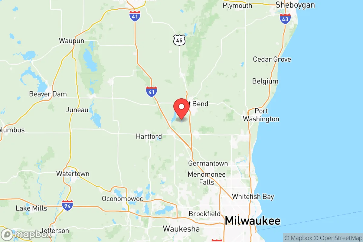
Washington County, Wisconsin, offers a compelling mix of Midwestern stability and strategic depth for relocators prioritizing resilience and self-sufficiency. Located roughly 30 miles northwest of Milwaukee and 40 miles north of the state's southern industrial corridor, the county provides a buffer from dense urban centers while retaining access to critical infrastructure. Its position along the Milwaukee River and its status as a key node on the I-41/US-45 corridor make it a practical choice for those who want to be close enough to resources but far enough from the immediate fallout zones of major metropolitan targets.
Geographic position and natural advantages for long-term stability
Washington County sits in the Kettle Moraine region, a landscape of rolling hills, glacial lakes, and mixed hardwood forests that offers natural defensibility and resource diversity. The county's elevation—averaging 1,000 feet above sea level—provides a slight topographical advantage over the flatter, more flood-prone areas to the south and east. The Milwaukee River runs through the county, offering a reliable freshwater source, while the Kettle Moraine State Forest covers over 30,000 acres of protected land, providing both a natural buffer and a long-term resource for timber, game, and foraging. Towns like West Bend (the county seat) and Hartford are situated inland, away from the Lake Michigan shoreline, reducing exposure to lake-effect storms and the potential for coastal disruption. The county's glacial topography also means fewer major fault lines and a lower risk of seismic activity, adding to its baseline stability.
Risk exposure and proximity to fallout-relevant landmarks
While Washington County is not a primary target, its location within the broader Milwaukee-Chicago-Madison triangle introduces some strategic risk. The county lies roughly 30 miles from General Mitchell International Airport in Milwaukee, a potential secondary target, and about 90 miles from the Chicago metropolitan area, which would be a high-priority zone in any major conflict scenario. More immediately, the Pleasant Prairie area to the southeast hosts a major rail and logistics hub, and the Port of Milwaukee is a significant Great Lakes shipping point—both could see secondary effects. However, Washington County's inland position and distance from major military installations (e.g., Fort McCoy is 120 miles west) mean it is unlikely to face direct blast or fallout exposure. The primary risk would be fallout drift from a strike on Chicago or Milwaukee, but prevailing westerly winds in the region would push contamination eastward, away from the county. Natural risks are moderate: the area sees occasional tornadoes (EF-2 or lower typically), and heavy snow events can disrupt travel, but the county's infrastructure is well-maintained and accustomed to winter weather.
Practical resilience for relocators: food, water, energy, and defensibility
For someone serious about self-sufficiency, Washington County offers a strong baseline. The county has a robust agricultural sector, with over 1,200 farms covering more than 200,000 acres—primarily dairy, corn, and soybeans. This means local food production is a reality, not just a theory. Farmers' markets in West Bend, Germantown, and Slinger operate seasonally, and the county's agricultural extension office provides resources for small-scale farming and gardening. Water access is excellent: the Milwaukee River and its tributaries (the Rubicon River and Oconomowoc River) run through the county, and groundwater is plentiful and generally clean, with the county sitting atop the Sandstone Aquifer, a deep, protected water source. For energy, the county is served by We Energies, which maintains a mix of natural gas, coal, and renewable sources, but relocators should note that the grid is interconnected with the broader MISO network, meaning regional outages could affect the area. Solar potential is moderate—about 4.5 peak sun hours per day—but the county's zoning is generally favorable for small-scale solar installations. Defensibility is a mixed picture: the county's rural character and dispersed population (about 135,000 residents across 436 square miles) make it harder to control or disrupt, but the I-41/US-45 corridor is a major north-south route that could see heavy traffic during an evacuation. The Kettle Moraine State Forest and the Ice Age Trail provide natural cover and alternative travel routes for those who know the terrain. The county's law enforcement presence is solid, with the Washington County Sheriff's Office and local police departments in West Bend, Hartford, and Germantown maintaining good response times, but rural areas may see slower coverage.
The overall strategic picture for Washington County is one of balanced resilience. It is not a remote bunker location, nor is it a high-risk urban zone—it sits in a practical middle ground. For a relocator who wants to maintain access to employment (Milwaukee is a 30-40 minute commute), healthcare (Froedtert & the Medical College of Wisconsin have a presence in West Bend), and supply chains, while still having room for a garden, a well, and a defensible property, this county is a strong candidate. The key trade-off is proximity to Milwaukee's potential fallout zone versus the practical benefits of being near a major city's resources. For those willing to invest in a good water filtration system, a backup power source, and a solid community network, Washington County offers a foundation that is both livable and strategically sound.

* Values derived from national, state, county, city and local statistics and may differ in a specific area. Last updated: 2026-07-10T13:04:43.000Z
Narrative content on this page is AI-generated and may contain mistakes. Verify any details that matter before acting on them.
ReloMaps may earn a commission from affiliate links at no extra cost to you.

