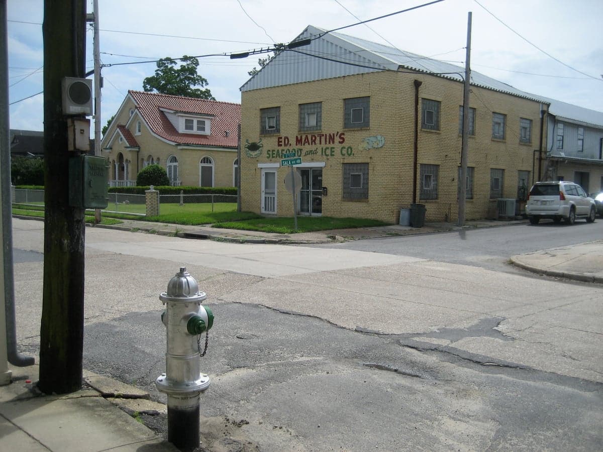
Photo: Wikipedia
Strategic Assessment of Westwego, LA
Multiple tactical vulnerabilities. Population density, target proximity, or disaster risk are likely compounding. A retreat property and exit planning is required.
What does the Strategic Assessment tell us?
Our Strategic Assessment grades tactical survivability of an area. Major population centers, military targets, fallout zones, natural disasters, and border exposure all drive risk — lower exposure means a more defensible position in a crisis.
This is heavily inspired by Joel Skousen's Strategic Relocation book. Highly recommended you checkout the book ($)What does this tell us?
Our Strategic Assessment grades tactical survivability of an area. Major population centers, military targets, fallout zones, natural disasters, and border exposure all drive risk — lower exposure means a more defensible position in a crisis.
This is heavily inspired by Joel Skousen's Strategic Relocation book. Highly recommended you checkout the book ($)Strategic Pillars

Key Distances
Regional Safe Places
Below is our recommended "safe zones" in Louisiana and the surrounding area based on our strategic heuristics. For most people, it's unrealistic to live in a “safe zone” full-time due to work, family or other personal reasons. They tend to be more rural. However, many of these areas are perfect for second homes and retreat properties that double as a vacation home or even a short-term rental.

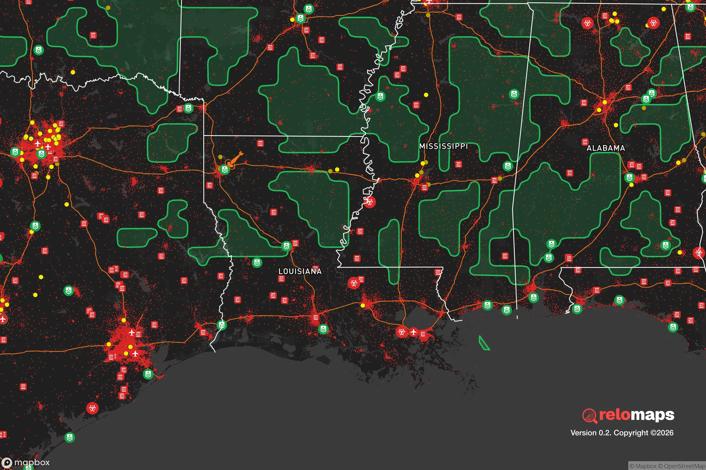


Important Note: For informational purposes only. This does not mean nothing bad ever happens in the green zones. Please use common sense. This is based on public data and modeled with AI. We tried to take a conservative approach but mistakes happen. We update this regularly as new information becomes available.
Solar Generator Recommendations
Backup power matters more here than in safer locations. We've picked three solar generators across budgets and capacity tiers — start with the budget unit if you only need a few essentials, or step up if you want to run a fridge and HVAC for days at a time.

Jackery Portable Power Station Explorer 300
Budget OptionPower on the Go: Weighing only 11 lbs, it's convenient to set up and store with book-sized foldable solar panels

BLUETTI Portable Power Station AC180
Designed for both indoor and outdoor scenarios, AC180 is highly capable as it has a robost capacity and continuous output power.

EF ECOFLOW DELTA Pro Ultra Power Station
Upgraded PickEcoFlow DELTA Pro Ultra is a whole-home energy system designed to grow with your family. Integrated with the Smart Home Panel 2, it scales to meet your evolving energy needs — keeping your home powered, intelligent, and secure through every stage of life.
We earn a commission, at no additional cost to you.
Strategic Assessment Analysis
Westwego, Louisiana, presents a mixed strategic picture for the relocation-minded reader focused on resilience and self-sufficiency. Its primary advantage is its location on the west bank of the Mississippi River, offering direct water access and a degree of separation from the densest urban core of New Orleans, while its primary disadvantage is its position within a region that faces acute natural and man-made risks. For a single individual or family weighing disaster readiness, Westwego offers a few practical assets but demands serious contingency planning for the hazards inherent to the Gulf South.
Geographic position and natural advantages for a self-sufficient lifestyle
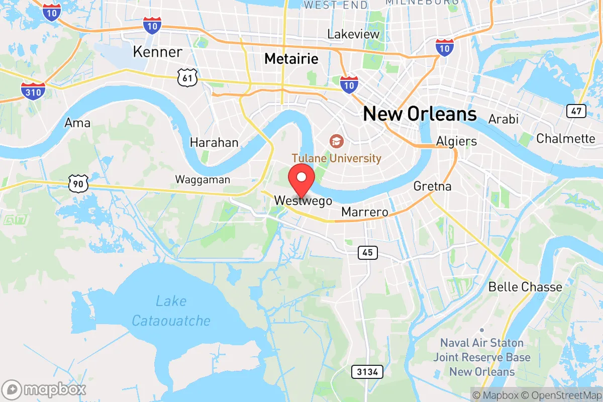
Westwego sits on the west bank of the Mississippi River, roughly 10 miles southwest of downtown New Orleans. This positioning provides a meaningful buffer from the immediate chaos of a major urban evacuation, while still allowing access to the region's economic and logistical hubs. The city is situated on relatively higher ground compared to many neighboring communities, with some areas reaching 5 to 10 feet above sea level, though this is still well within the floodplain. The surrounding landscape is dominated by the river, bayous, and wetlands, which offer opportunities for fishing, trapping, and small-scale agriculture for those willing to work the land. The proximity to the Mississippi River also means access to a massive, reliable freshwater source, though it requires treatment for potable use. The area's flat terrain and network of secondary roads, including LA-18 and LA-541, provide multiple egress routes, though these can become congested during a regional evacuation. For a relocator seeking a balance between rural self-sufficiency and urban proximity, Westwego offers a foothold on the edge of a major metropolitan area, but the natural advantages are tempered by the region's inherent vulnerability to water-based disasters.
Risks, exposures, and proximity to fallout-relevant landmarks
The most significant risk to Westwego is flooding, both from the Mississippi River and from storm surge during hurricanes. The city is protected by a levee system, but the catastrophic failures during Hurricane Katrina in 2005 demonstrated that no levee is infallible. Westwego itself did not flood catastrophically during Katrina, but the surrounding region was devastated, and the city experienced significant wind damage and power outages. Hurricanes remain the primary natural threat, with the Gulf of Mexico acting as a breeding ground for storms that can intensify rapidly. The area is also prone to tornadoes, severe thunderstorms, and occasional winter weather events. Beyond natural hazards, Westwego's proximity to New Orleans and the Mississippi River corridor introduces man-made risks. The river is a major thoroughfare for barge traffic carrying chemicals, petroleum, and other hazardous materials. A spill or industrial accident at one of the many refineries or chemical plants along the river corridor could have serious consequences for air and water quality. Additionally, the city's location near a major metropolitan area makes it a potential target in a broader conflict scenario, though this is a speculative risk shared by most urban-adjacent locations. For the resilience-minded relocator, the key takeaway is that Westwego's risks are primarily water-based and weather-driven, requiring robust flood mitigation and evacuation planning.
Practical resilience for a relocator: food, water, energy, and defensibility
For a relocator focused on self-sufficiency, Westwego offers a few practical advantages but also significant challenges. Food security is a mixed picture. The area has access to fresh seafood from the Gulf and the nearby bayous, and the fertile Mississippi River delta soil can support vegetable gardens and small-scale farming. However, the growing season is long but humid, and pest pressure is high. Local farmers' markets and grocery stores are available, but supply chains can be disrupted during hurricane season. Water security is a major concern. The Mississippi River provides an abundant source of raw water, but it requires filtration and treatment to be safe for drinking. Boiling or chemical treatment is necessary during flood events when the water supply may be compromised. A well is not a practical option for most properties due to the high water table and flood risk. Energy resilience is a weak point. The region is prone to extended power outages after hurricanes, and the grid is vulnerable to storm damage. Solar panels with battery storage are a viable option, but they must be mounted securely to withstand high winds. Natural gas is available in many areas, but pipelines can be disrupted. A backup generator is a near-necessity for anyone living in Westwego. Defensibility is a nuanced topic. The city's layout is typical of a suburban community, with a mix of single-family homes, small businesses, and industrial areas. The flat terrain offers limited natural defensive positions, and the proximity to major roads means that a determined threat could approach from multiple directions. However, the community is tight-knit, and many residents are familiar with their neighbors, which can be a social asset in a crisis. For a relocator, the practical resilience of Westwego depends heavily on individual preparation: a well-stocked pantry, a reliable water filtration system, a backup power source, and a solid evacuation plan for the most severe events.
The overall strategic picture for Westwego is one of calculated trade-offs. It offers a lower cost of living and a closer connection to the natural environment than many urban areas, but it demands a high level of personal preparedness for the region's inherent risks. For a single individual or family willing to invest in flood mitigation, backup power, and water treatment, Westwego can be a viable base for a self-sufficient lifestyle. However, the city's location in a hurricane-prone, flood-vulnerable region with industrial river traffic means that resilience is not a given—it must be actively built and maintained. The relocator who treats Westwego as a strategic outpost rather than a permanent refuge will be best positioned to thrive here, using its assets while remaining ready to adapt to the challenges that come with living on the edge of the Mississippi River delta.

* Values derived from national, state, county, city and local statistics and may differ in a specific area. Last updated: 2026-10-25T03:14:01.000Z
Narrative content on this page is AI-generated and may contain mistakes. Verify any details that matter before acting on them.
ReloMaps may earn a commission from affiliate links at no extra cost to you.

