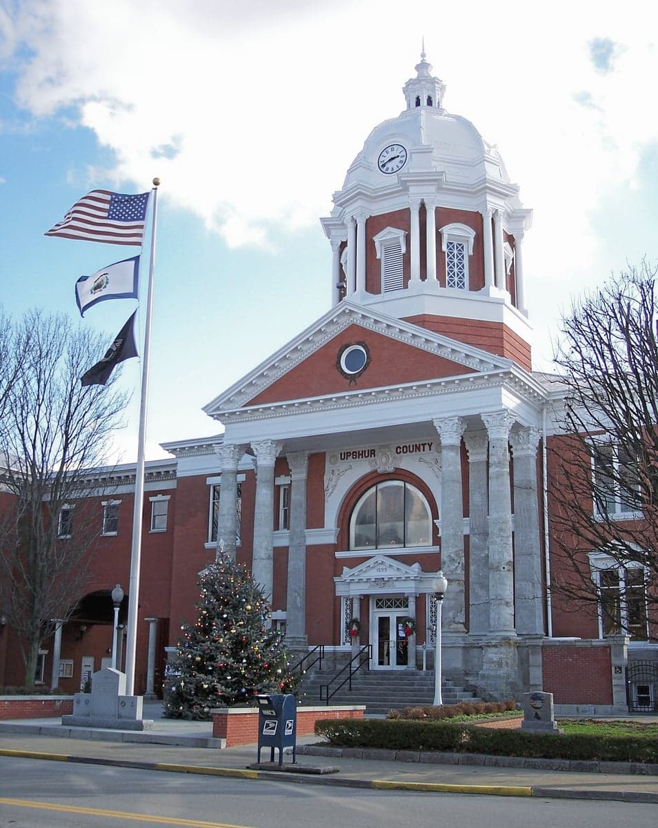
Photo: Wikipedia
Strategic Assessment of Upshur County
Workable tactical position. Some exposure to population density or targets, but generally defensible in a crisis.
What does the Strategic Assessment tell us?
Our Strategic Assessment grades tactical survivability of an area. Major population centers, military targets, fallout zones, natural disasters, and border exposure all drive risk — lower exposure means a more defensible position in a crisis.
This is heavily inspired by Joel Skousen's Strategic Relocation book. Highly recommended you checkout the book ($)What does this tell us?
Our Strategic Assessment grades tactical survivability of an area. Major population centers, military targets, fallout zones, natural disasters, and border exposure all drive risk — lower exposure means a more defensible position in a crisis.
This is heavily inspired by Joel Skousen's Strategic Relocation book. Highly recommended you checkout the book ($)Strategic Pillars

Key Distances
Strategic Assessment Analysis
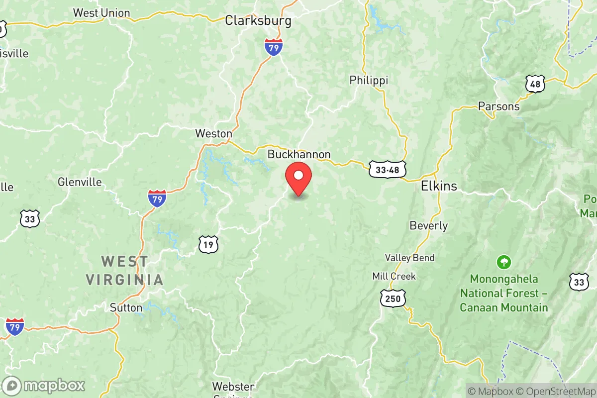
Upshur County, West Virginia, offers a compelling strategic profile for relocation when viewed through the lens of resilience and preparedness, balancing its deep Appalachian geography with a unique set of both advantages and exposures. Centered on the county seat of Buckhannon, this area of roughly 25,000 residents sits along the western edge of the Allegheny Plateau, placing it over 150 miles from the nearest major metropolitan areas like Pittsburgh, Pennsylvania, and Columbus, Ohio—a buffer that reduces both urban sprawl pressures and proximity to high-value target zones. Its location astride U.S. Route 33 and Route 119 provides practical east-west and north-south evacuation corridors without situating residents on an interstate that funnels heavy traffic from a major city. For a relocator focused on disaster readiness, the county’s moderate population density, forested terrain, and historical insulation from major infrastructure choke points offer a foundation for self-sufficiency, provided one acknowledges the trade-offs in economic isolation and local resource vulnerability.
Geographic position and natural advantages for off-grid living
Upshur County’s terrain is characterized by rolling hills and narrow valleys, with elevations ranging from roughly 1,200 to 2,600 feet, which provides natural drainage and reduces flood risk compared to bottomland areas along the Tygart Valley River. The county’s wooded landscape—predominantly mixed hardwood forests covering over 70% of the land—creates natural camouflage and thermal mass, helping moderate temperature extremes and offering abundant fuel for wood-based heating. Water resources are a major advantage: Stonecoal Lake and the Buckhannon River provide accessible surface water, while the underlying geology of fractured sandstone and shale yields reliable groundwater at depths of 50–150 feet for private wells. The region’s temperate climate sees average annual precipitation around 45 inches, evenly distributed across seasons, supporting year-round gardening and rainwater harvesting without the drought risks common in the West or South. Unlike flood-prone areas along the Mississippi or hurricane-exposed coastal zones, Upshur County’s inland position and elevation shield it from catastrophic storm surge and most tornado alley activity, though severe thunderstorms and occasional ice storms in winter remain credible hazards.
Risks, exposures, and proximity to infrastructure and military targets
The county’s relative isolation is a double-edged sword when assessing man-made risks. The closest large population center is the Clarksburg-Bridgeport metropolitan area (population ~100,000), about 30 miles northeast, which contains a regional hospital, commercial air traffic at North Central West Virginia Airport, and the FBI’s Criminal Justice Information Services Division—a facility that, while not a military target, represents a federal presence with potential symbolic importance. West Virginia itself hosts no major active military bases; the nearest notable installation is the West Virginia Army National Guard’s Camp Dawson (about 30 miles south in Preston County), a training facility with limited strategic value as a target. The county’s most consequential industrial risk lies about 35 miles southwest: Clendenin’s natural gas processing complex and the Dominion Energy transmission corridor along the Little Kanawha River, which includes pipelines and compressor stations that, if compromised by natural disaster or sabotage, could cause local contamination or fire. Notably, Upshur County is not situated near any major refinery, nuclear power plant, or strategic port (the closest port, in Baltimore, is 250+ miles east), meaning the risk of fallout from a conventional or kinetic strike on such a target is minimal—far lower than comparable rural counties near the Houston Ship Channel or Hampton Roads.
Practical resilience for a relocator: food, water, energy, and defensibility
From a practical standpoint, Upshur County offers strong foundations for self-sufficiency but requires upfront investment. Prime farmland is limited to a few bottomland strips along the Buckhannon River, covering roughly 5% of the county’s land area, but the remainder supports pasture and forest-grazed livestock, with local cattle and sheep operations providing meat and dairy potential. The Buckhannon Farmers Market and small-scale producers (e.g., Reedsville-area organic farms) offer a local food network, but year-round supply chains are weak—stockpiling non-perishable food for winter is common among residents. Water availability is strong, as noted, but treatment infrastructure is vulnerable: the county’s public water system draws from the Buckhannon River and Stonecoal Lake, both of which could be compromised by upstream contamination or prolonged power outage; a well with a hand pump is a prudent investment. Energy reliability hinges on the local electrical grid serviced by FirstEnergy (Mon Power), which has a moderate outage record due to winter storms—solar capability is moderate (4.5 peak sun hours daily), and wood heating remains the standard for backup. Defensibility is a mixed picture: the valley terrain offers natural chokepoints for anyone approaching from the lowlands, but the fragmented road network (especially narrow county routes like Route 20 and Route 4) limits rapid evacuation and makes policing large rural areas difficult. The community’s cultural orientation leans toward self-reliance, with a strong tradition of hunting (deer and turkey abundant) and a network of small general stores and firearm retailers that reinforce a preparedness ethos.
In the overall strategic picture, Upshur County ranks as a moderately resilient relocation zone for a disaster-minded individual or family, particularly when compared to suburban fringe areas of major metros or rural counties in the Great Plains or Coastal Plain. Its primary strengths are geographic isolation from high-value targets, abundant water and forest resources, and a temperate climate that supports year-round subsistence without extreme weather events. The chief limitations are economic—limited local employment outside healthcare, education (West Virginia Wesleyan College), and resource extraction—and the reality that the county’s rural infrastructure (limited broadband, seasonal road maintenance issues, a single grocery store in Buckhannon) demands a higher degree of personal preparation and financial cushion. For a relocator willing to secure property with a well, wood heat, and a food garden, and who understands that proximity to energy infrastructure carries minor but manageable risks, Upshur County provides a defensible, resource-rich base that most national threat scenarios—from pandemic disruptions to economic collapse to conventional conflict—would pass by with only secondary impacts. The best strategy is to treat it as a home base, not a bunker, and to maintain stores and skills that account for its role as a small node in a sparse rural network, not an independent fortress.

* Values derived from national, state, county, city and local statistics and may differ in a specific area. Last updated: 2026-06-25T04:31:13.000Z
Narrative content on this page is AI-generated and may contain mistakes. Verify any details that matter before acting on them.
ReloMaps may earn a commission from affiliate links at no extra cost to you.

