
Photo: Wikipedia
Strategic Assessment of Pendleton County
Workable tactical position. Some exposure to population density or targets, but generally defensible in a crisis.
What does the Strategic Assessment tell us?
Our Strategic Assessment grades tactical survivability of an area. Major population centers, military targets, fallout zones, natural disasters, and border exposure all drive risk — lower exposure means a more defensible position in a crisis.
This is heavily inspired by Joel Skousen's Strategic Relocation book. Highly recommended you checkout the book ($)What does this tell us?
Our Strategic Assessment grades tactical survivability of an area. Major population centers, military targets, fallout zones, natural disasters, and border exposure all drive risk — lower exposure means a more defensible position in a crisis.
This is heavily inspired by Joel Skousen's Strategic Relocation book. Highly recommended you checkout the book ($)Strategic Pillars

Key Distances
Strategic Assessment Analysis
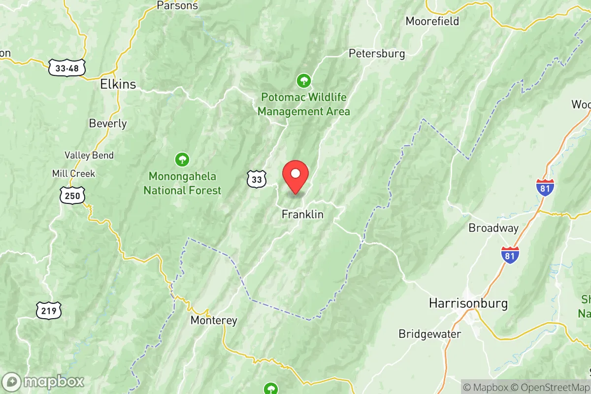
Pendleton County, West Virginia, offers a compelling strategic profile for relocators prioritizing resilience and self-sufficiency, largely due to its remote geography and low population density. Nestled in the Allegheny Mountains along the Virginia border, the county is roughly a three-hour drive from Washington, D.C., and two hours from the Roanoke-Blacksburg area, placing it far enough from major urban centers to avoid their immediate fallout risks while remaining accessible for supply runs or medical care. With fewer than 7,000 residents spread across 730 square miles, Pendleton County combines natural barriers with a quiet, rural character that appeals to those seeking a defensible, low-profile base.
Geographic position and natural advantages for long-term security
Pendleton County sits in the heart of the Potomac Highlands, a region defined by steep ridges, deep valleys, and extensive national forest land. The county is bisected by the North Fork of the South Branch of the Potomac River, which provides a reliable water source for those with proper access rights. The surrounding George Washington National Forest and Monongahela National Forest create a buffer of undeveloped land that limits population density and industrial activity. The county’s highest point, Spruce Knob (4,863 feet), is West Virginia’s tallest peak and offers a vantage point for monitoring regional conditions. The terrain itself acts as a natural defense: narrow, winding roads like U.S. Route 33 and State Route 28 funnel traffic through choke points, making unauthorized access difficult. The nearest city of any size is Harrisonburg, Virginia (population ~50,000), about 45 minutes south, while the state capital, Charleston, is over two hours west. This isolation is a double-edged sword—it reduces exposure to urban chaos but also means limited immediate support from emergency services. For a relocator, the key advantage is the county’s position in a sparsely populated, forested corridor that is far from major interstate highways, rail lines, or industrial hubs.
Risks, exposures, and proximity to fallout-relevant landmarks
Pendleton County’s primary risk exposure comes from natural hazards rather than man-made ones. The region lies in a moderate seismic zone—the 2011 Mineral, Virginia earthquake (magnitude 5.8) was felt here but caused no structural damage. Flooding is the most tangible threat, particularly along the North Fork River in towns like Franklin (the county seat) and Circleville, where heavy rains can cause flash flooding in low-lying areas. Winter storms are frequent, with annual snowfall averaging 40-60 inches at higher elevations, which can isolate communities for days. Wildfire risk is low due to the mixed hardwood forest, but dry summers can elevate it. From a man-made fallout perspective, Pendleton County is exceptionally well-positioned. The nearest nuclear power plant is the North Anna station in Virginia, about 120 miles southeast—well outside the typical 50-mile emergency planning zone. There are no major military bases, refineries, or chemical plants within 100 miles. The closest significant infrastructure targets are the Washington, D.C. metro area (about 150 miles east) and the Shenandoah Valley’s data centers and transportation corridors. For a relocator concerned about electromagnetic pulse (EMP) or grid-down scenarios, the county’s distance from high-value targets and its low electromagnetic signature are clear positives. However, the county’s reliance on a single major power line (routed through the mountains) and limited cell tower coverage means that a regional grid failure could leave residents without communication for extended periods.
Practical resilience for a relocator: food, water, energy, and defensibility
Pendleton County offers strong potential for self-sufficiency, but it requires upfront investment. Water is abundant: the North Fork River and its tributaries provide year-round flow, and most rural properties rely on private wells or springs. The county’s average annual rainfall of 40 inches supports gardening and small-scale agriculture, though the growing season is short (roughly 140 days) due to elevation. Soil quality varies—valley bottoms are fertile, but hillside plots are rocky and require terracing. Local food production is limited; the county has no large-scale farms, but there are small producers like the Pendleton County Farmers Market in Franklin and several family-run orchards. For long-term food security, relocators should plan to supplement with stored goods and hunting (deer, turkey, and small game are plentiful). Energy resilience is mixed. The county is served by FirstEnergy, and power outages are common during storms—some lasting days. Solar potential is moderate; the mountainous terrain creates shading issues, but south-facing slopes can support off-grid systems. Wood heating is the norm in many homes, with abundant firewood available from national forest permits. Defensibility is a standout feature: the county’s low population density (9 people per square mile) and limited road network mean that a prepared household can effectively monitor its perimeter. The town of Franklin (population ~700) serves as a hub for supplies, with a grocery store, hardware store, and a small hospital (Pendleton Community Care). For a relocator, the practical challenge is the lack of local manufacturing or heavy equipment—most specialized gear must be brought in or ordered from Harrisonburg or Elkins.
The overall strategic picture for Pendleton County is one of a quiet, resilient refuge that trades convenience for security. Its geographic isolation and low profile make it an excellent choice for those prioritizing fallout avoidance and self-reliance, but the trade-offs are real: limited economic opportunities, harsh winters, and a 45-minute drive to the nearest Walmart. For a family or individual willing to invest in off-grid infrastructure and build local knowledge, the county offers a defensible, resource-rich environment with minimal exposure to national-level risks. The key is to secure a property with reliable water access, southern solar exposure, and a solid wood-burning setup—then treat the isolation as an asset rather than a liability. Pendleton County won’t suit everyone, but for the strategic relocator, it checks most of the right boxes.

* Values derived from national, state, county, city and local statistics and may differ in a specific area. Last updated: 2026-10-05T19:22:27.000Z
Narrative content on this page is AI-generated and may contain mistakes. Verify any details that matter before acting on them.
ReloMaps may earn a commission from affiliate links at no extra cost to you.

