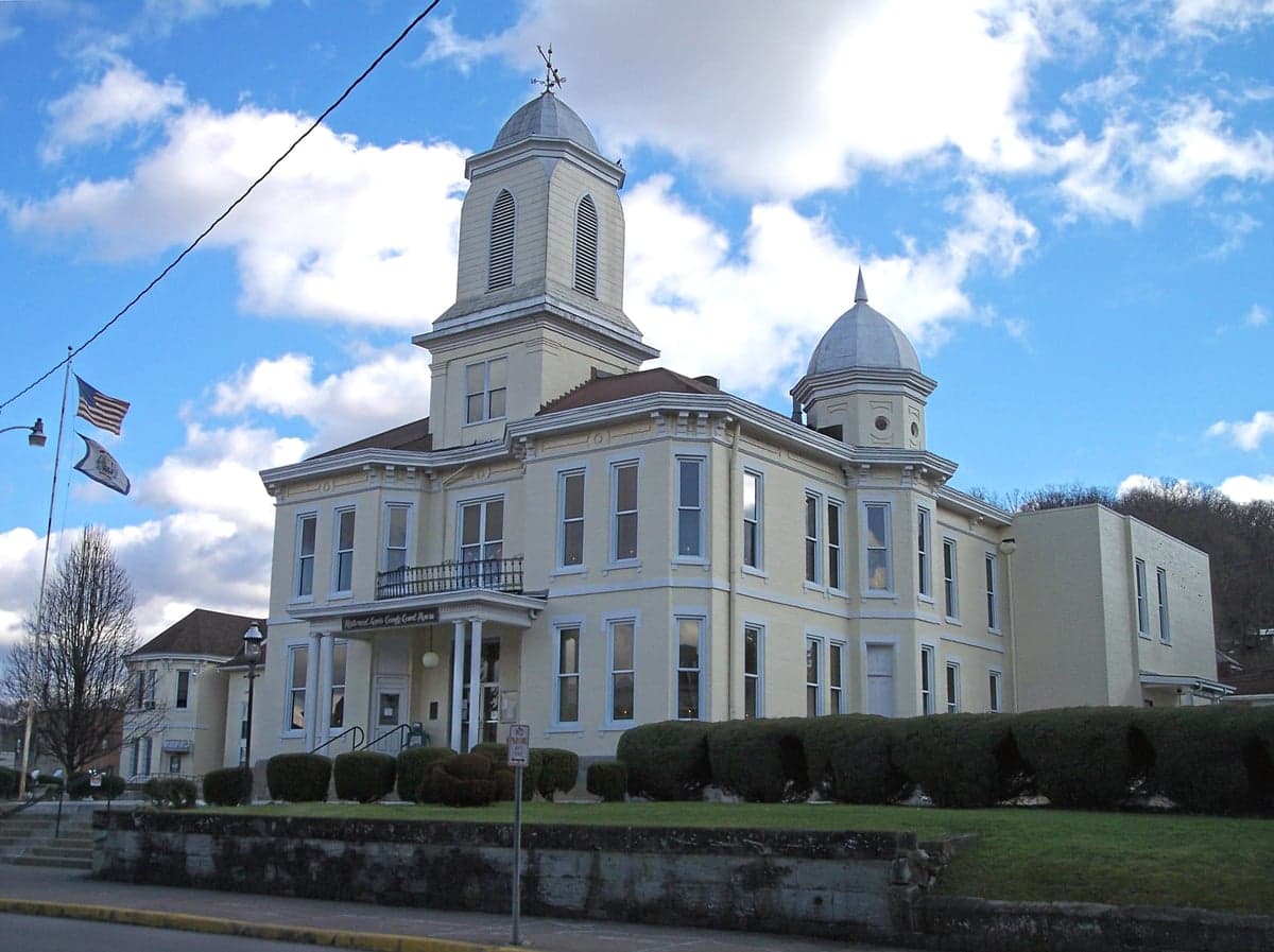
Photo: Wikipedia
Strategic Assessment of Lewis County
Workable tactical position. Some exposure to population density or targets, but generally defensible in a crisis.
What does the Strategic Assessment tell us?
Our Strategic Assessment grades tactical survivability of an area. Major population centers, military targets, fallout zones, natural disasters, and border exposure all drive risk — lower exposure means a more defensible position in a crisis.
This is heavily inspired by Joel Skousen's Strategic Relocation book. Highly recommended you checkout the book ($)What does this tell us?
Our Strategic Assessment grades tactical survivability of an area. Major population centers, military targets, fallout zones, natural disasters, and border exposure all drive risk — lower exposure means a more defensible position in a crisis.
This is heavily inspired by Joel Skousen's Strategic Relocation book. Highly recommended you checkout the book ($)Strategic Pillars

Key Distances
Strategic Assessment Analysis
Lewis County, West Virginia, occupies a unique strategic niche for relocators prioritizing resilience and self-sufficiency. Nestled in the central Appalachian foothills, it offers a compelling balance of geographic remoteness from major metropolitan targets while maintaining practical access to critical infrastructure. For single individuals and families assessing long-term preparedness, Lewis County presents a defensible, resource-rich environment that warrants careful consideration, though not without its distinct vulnerabilities.
Geographic position: how Lewis County's location serves as a natural buffer
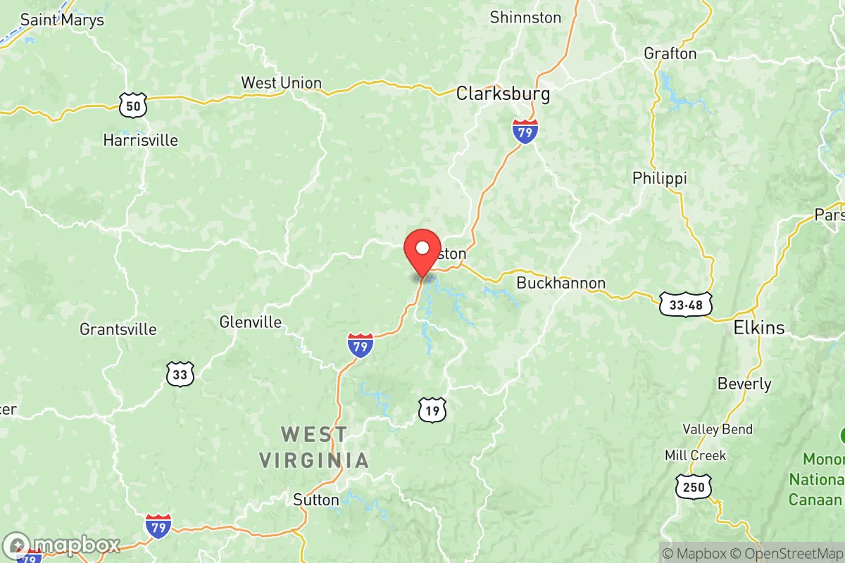
Lewis County sits roughly 90 miles south of Pittsburgh and 120 miles west of Washington, D.C., placing it outside the likely immediate blast and fallout zones of those major strategic targets. The county's seat, Weston, anchors a region defined by the rolling hills of the Allegheny Plateau, with elevations ranging from 800 to 1,600 feet. This topography provides natural shielding from both ground-level contamination transport and electromagnetic pulse (EMP) line-of-sight effects. The county is bisected by the West Fork River, which flows northward toward the Monongahela, but its valley terrain is narrow enough to avoid acting as a wind tunnel for fallout particles. Stonewall Jackson Lake, a 2,630-acre reservoir created by the U.S. Army Corps of Engineers, sits in the southern part of the county and represents a critical freshwater resource. The county also contains portions of the Monongahela National Forest to the east, adding a buffer of sparsely populated woodland that complicates any ground approach. Key local landmarks include the historic Trans-Allegheny Lunatic Asylum in Weston, which could serve as a large-scale shelter structure, and the Weston Water Treatment Plant, which draws from the West Fork River. The county's position in the Appalachian Regional Commission's "distressed" economic classification means development is light, keeping population density low at roughly 34 people per square mile, a boon for those seeking to avoid post-disaster resource competition.
Risks and exposures: what relocators need to know about proximity to targets
While Lewis County avoids direct proximity to primary strategic targets, it is not without significant risk exposure. The county lies approximately 60 miles east of the Piketon uranium enrichment facility in Ohio, a known nuclear fuel cycle site that could become a secondary target or a source of catastrophic contamination if breached. Additionally, the Morgantown Industrial Park and the Fort Martin Power Station (coal-fired plant along the Monongahela River) are roughly 40–50 miles north, representing potential conventional targets for sabotage or infrastructure attack. The Clarksburg Federal Building and the FBI's Criminal Justice Information Services Division, located 25 miles northwest in Harrison County, are also plausible targets. On the natural hazard side, Lewis County sits in a moderate seismic zone—the 2011 Mineral, Virginia earthquake was felt here—and flash flooding along the West Fork River and its tributaries is a recurring issue, particularly in low-lying areas around Walkersville and Jane Lew. The county's rural nature means emergency response times can be slow; the Weston Volunteer Fire Department and Lewis County EMS cover a 389-square-mile area with limited staff. For the disaster-conscious relocator, the primary man-made risk is proximity to the Piketon facility's potential release zone, which could contaminate the Ohio River watershed that feeds into the region's groundwater. However, prevailing winds from the west-northwest during spring and fall would tend to carry airborne contamination away from Lewis County toward the Alleghenies.
Practical resilience for relocators: food, water, energy, and defensibility
Lewis County offers above-average practical resilience compared to more densely populated regions. Food security is supported by active agricultural operations: the county has roughly 350 farms covering 80,000 acres, with top products including hay, corn, cattle, and poultry. The Lewis County Farmers Market in Weston operates seasonally, but year-round self-sufficiency is feasible due to fertile valley soils and moderate growing seasons (Zone 6a). Soil quality varies—limestone-based soils in the northern half of the county are better for row crops than the acidic, rocky soils south of U.S. Route 33. Foraging potential includes abundant black walnuts, morel mushrooms, and game such as white-tailed deer and wild turkey. Water security is strong: in addition to Stonewall Jackson Lake, the county has numerous smaller streams including Polk Creek, Sand Run, and Freeman's Creek. Private well drilling is common, with average depths of 150–300 feet to reach the Pocono sandstone aquifer, which produces potable water in most areas. The Weston Municipal Water System serves roughly 4,500 customers but relies on electricity-dependent pumping stations, making hand-pump well conversion a prudent investment for off-grid capability. Energy resilience is mixed: the county is served by FirstEnergy (Mon Power), but grid outages are common during winter ice storms and summer thunderstorms. Solar potential is moderate—average 4.2 peak sun hours per day—with southern slopes offering viable panel placement. Wood heating is traditional and practical, given the county's 75% forest cover. For defensibility, the terrain works in a relocator's favor: narrow hollows and ridge-and-valley patterns create natural chokepoints. Properties along U.S. Route 33 and State Route 19 corridors are more exposed, while interior hollows near Crawford or Orlando offer visual and physical isolation. No military bases are located within the county, reducing risk of troop movements, though the West Virginia Army National Guard's Troop E barracks in Weston is a small but notable presence.
The overall strategic picture for Lewis County is one of moderate-to-high resilience with distinct trade-offs. Its geographic isolation from major population centers and primary strategic targets is a clear advantage, and its abundant water resources and agricultural potential provide a strong foundation for long-term self-sufficiency. The primary weaknesses are the proximity to the Piketon facility and modest energy grid reliability, both of which can be mitigated with prudent planning—off-grid water wells, wood heating, and non-electric food preservation methods. For a conservative, preparedness-minded family seeking a balance between remote security and access to a regional hub (Clarksburg, 25 minutes north, offers hospitals and supply chains), Lewis County presents a viable option. The terrain is forgiving enough for small-scale farming while rugged enough to discourage casual approach, making it a place where a thoughtful relocator could reasonably build a resilient life without requiring military-level fortification. Just be aware of those space-weather risks to the grid and plan accordingly.

* Values derived from national, state, county, city and local statistics and may differ in a specific area. Last updated: 2026-06-29T10:27:28.000Z
Narrative content on this page is AI-generated and may contain mistakes. Verify any details that matter before acting on them.
ReloMaps may earn a commission from affiliate links at no extra cost to you.

