Photo: Wikipedia
Strategic Assessment of Greenbrier County
Workable tactical position. Some exposure to population density or targets, but generally defensible in a crisis.
What does the Strategic Assessment tell us?
Our Strategic Assessment grades tactical survivability of an area. Major population centers, military targets, fallout zones, natural disasters, and border exposure all drive risk — lower exposure means a more defensible position in a crisis.
This is heavily inspired by Joel Skousen's Strategic Relocation book. Highly recommended you checkout the book ($)What does this tell us?
Our Strategic Assessment grades tactical survivability of an area. Major population centers, military targets, fallout zones, natural disasters, and border exposure all drive risk — lower exposure means a more defensible position in a crisis.
This is heavily inspired by Joel Skousen's Strategic Relocation book. Highly recommended you checkout the book ($)Strategic Pillars

Key Distances
Strategic Assessment Analysis
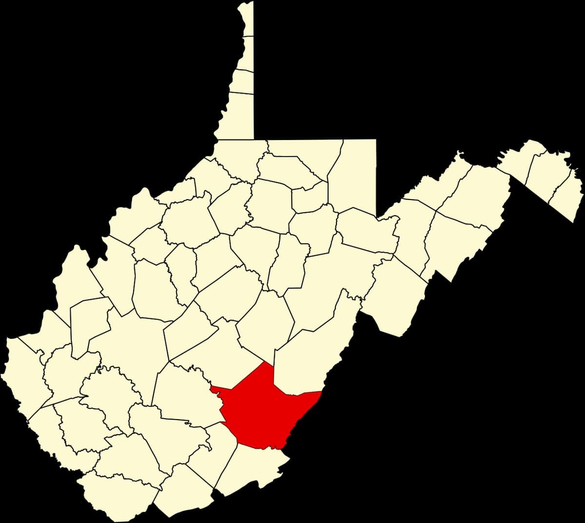
Greenbrier County, West Virginia, offers a compelling strategic profile for relocation-minded individuals and families who prioritize resilience, self-sufficiency, and distance from major metropolitan vulnerabilities. Anchored by the county seat of Lewisburg and the larger town of Beckley just to the south, the area sits in a geographic sweet spot—far enough from the East Coast’s dense urban corridors to avoid their primary risks, yet close enough to access essential services and supply chains. The county’s rugged terrain, low population density (roughly 35,000 residents across 1,025 square miles), and historical role as a Cold War relocation site for the U.S. Congress (the Greenbrier Resort’s declassified bunker) signal a landscape that has long been evaluated for its strategic value.
Geographic position and natural advantages for long-term security
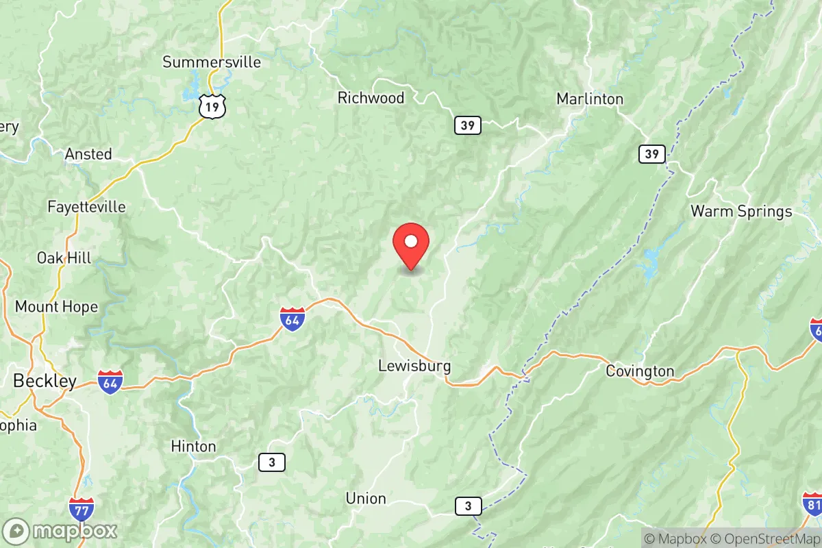
Greenbrier County’s location in southeastern West Virginia places it within the Allegheny Mountains, a region characterized by steep ridges, narrow valleys, and dense hardwood forests. This topography naturally limits large-scale development and population influx, preserving a rural character that many relocators seek. The county is roughly a 3.5-hour drive from Washington, D.C., and about 4 hours from Richmond, Virginia—close enough for occasional trips but far enough to avoid the fallout zones and secondary effects of a major metropolitan event. The nearest city of significant size is Charleston, West Virginia (about 90 miles northwest), but the county’s orientation is more toward the Roanoke, Virginia, metro area (about 80 miles southeast), which provides a regional hospital, airport, and supply hub without the density of a major target. The Greenbrier River, which runs north-south through the county, offers a reliable water source, and the surrounding Monongahela National Forest provides a buffer of public land that limits encroachment and preserves wildlife habitat. The area’s elevation—Lewisburg sits at about 2,200 feet—means cooler summers and less humidity than the lowlands, reducing heat-related risks and supporting a longer growing season for gardens compared to higher Appalachian peaks.
Risks, exposures, and proximity to fallout-relevant landmarks
While Greenbrier County is far from the highest-risk targets, it is not immune to man-made or natural threats. The most significant man-made risk comes from the Greenbrier County Airport (LWB) near Lewisburg, which is a former U.S. Air Force base and still hosts a 7,000-foot runway capable of handling large aircraft. This facility could be a secondary target in a conflict scenario, though its current use is primarily civilian and general aviation. More concerning is the county’s proximity to the MeadWestvaco paper mill in Covington, Virginia (about 30 miles east), a large industrial facility that could be a secondary target or produce hazardous material releases. The Interstate 64 corridor runs through the county, connecting to the chemical and manufacturing hubs of the Kanawha Valley (Charleston area), which are more likely targets. Natural risks are moderate: the region is in a low-seismic zone, but heavy rainfall can cause flash flooding in low-lying areas, particularly along the Greenbrier River and its tributaries. The county is not in a hurricane or tornado alley, but severe thunderstorms and occasional ice storms can disrupt power for days. The Greenbrier River Trail, a 77-mile rail-trail, runs through the county and could serve as a secondary evacuation or supply route if I-64 is compromised. The Greenbrier Resort’s bunker (the former Congressional relocation site) is now a tourist attraction, but its existence underscores the area’s historical assessment as a secure location—though its public knowledge makes it a potential target in a worst-case scenario.
Practical resilience for a relocator: food, water, energy, and defensibility
For a relocator focused on self-sufficiency, Greenbrier County offers strong fundamentals. Water availability is excellent: the Greenbrier River and its tributaries provide surface water, and the county’s karst topography (limestone bedrock) yields numerous springs and wells. Most rural properties have private wells, and the county’s water table is generally reliable. Food production is viable, with a growing season of roughly 150 days (April to October) and fertile limestone-based soils in the river valleys. The county has a strong agricultural tradition—hay, cattle, and poultry are common—and the Lewisburg Farmers Market is one of the oldest in the state, indicating a local food network. For long-term food security, the area’s deer and turkey populations are healthy, and the Monongahela National Forest offers hunting opportunities. Energy resilience is mixed: the county is served by Appalachian Power, a subsidiary of American Electric Power, which relies on the regional grid. Power outages from storms are common, but the area’s topography makes solar panel placement viable on south-facing slopes, and wood heating is a practical backup (the county is heavily forested). Propane and heating oil are widely available for off-grid heating. Defensibility is a key advantage: the mountainous terrain creates natural chokepoints on the few main roads (I-64, US-219, US-60), and the low population density means fewer people to compete for resources in a crisis. The county’s rural character means most residents are accustomed to self-reliance, and the local culture is generally welcoming to newcomers who respect the land. The Greenbrier County Sheriff’s Office and the Lewisburg Police Department maintain a visible presence, but the area is not over-policed, and property crime rates are low relative to national averages. The West Virginia State Police detachment in Lewisburg provides additional coverage. For medical resilience, the Greenbrier Valley Medical Center in Ronceverte offers a 122-bed hospital with emergency services, though specialized care requires a trip to Roanoke or Charleston.
Overall, Greenbrier County presents a strong strategic option for a relocator who values geographic isolation, natural resources, and a community that already practices a degree of self-sufficiency. Its location in the Appalachian Mountains provides a natural buffer against coastal and industrial fallout, while its water and agricultural potential support long-term habitation. The primary trade-offs are the distance from major medical centers and the reliance on a single interstate for rapid evacuation. For a family or individual willing to invest in solar, well water, and food storage, the county offers a defensible, resource-rich base that has been recognized for its strategic value for decades. The key is to choose a property away from the I-64 corridor and the airport, ideally in the more remote northern or eastern parts of the county, where the terrain offers the greatest natural protection.

* Values derived from national, state, county, city and local statistics and may differ in a specific area. Last updated: 2026-07-03T04:37:26.000Z
Narrative content on this page is AI-generated and may contain mistakes. Verify any details that matter before acting on them.
ReloMaps may earn a commission from affiliate links at no extra cost to you.

