 Popular
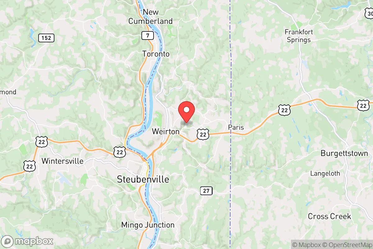
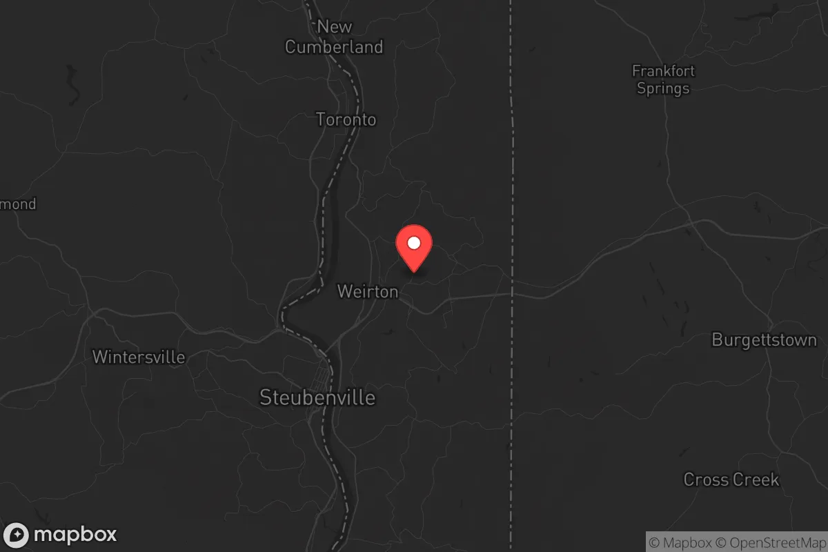
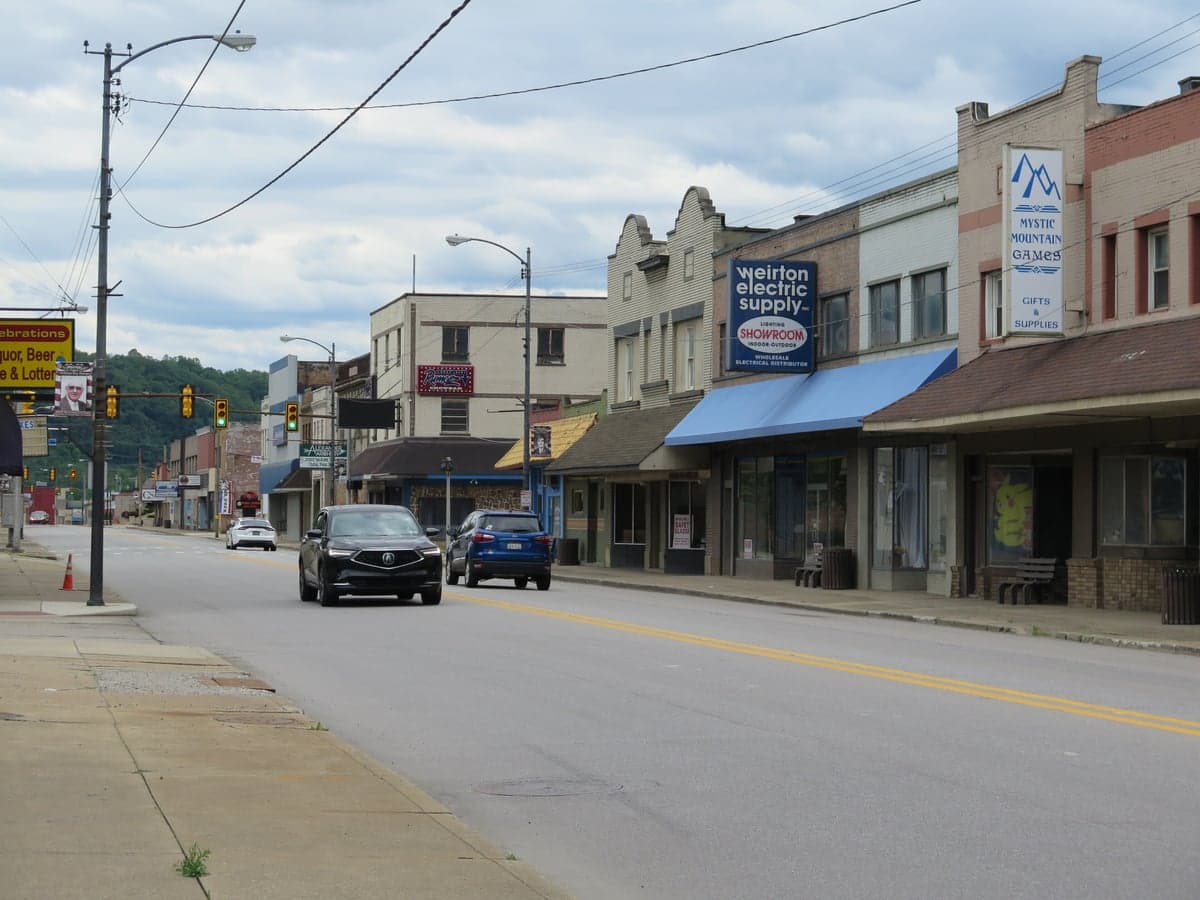
Photo: Wikipedia
Strategic Assessment of Weirton, WV
Meaningful friction. Expect exposure to either population pressure, blast zones, or natural disaster risk. Consider buying a retreat property.
What does the Strategic Assessment tell us?
Our Strategic Assessment grades tactical survivability of an area. Major population centers, military targets, fallout zones, natural disasters, and border exposure all drive risk — lower exposure means a more defensible position in a crisis.
This is heavily inspired by Joel Skousen's Strategic Relocation book. Highly recommended you checkout the book ($)What does this tell us?
Our Strategic Assessment grades tactical survivability of an area. Major population centers, military targets, fallout zones, natural disasters, and border exposure all drive risk — lower exposure means a more defensible position in a crisis.
This is heavily inspired by Joel Skousen's Strategic Relocation book. Highly recommended you checkout the book ($)Strategic Pillars

Key Distances
Regional Safe Places
Below is our recommended "safe zones" in West Virginia and the surrounding area based on our strategic heuristics. For most people, it's unrealistic to live in a “safe zone” full-time due to work, family or other personal reasons. They tend to be more rural. However, many of these areas are perfect for second homes and retreat properties that double as a vacation home or even a short-term rental.


Important Note: For informational purposes only. This does not mean nothing bad ever happens in the green zones. Please use common sense. This is based on public data and modeled with AI. We tried to take a conservative approach but mistakes happen. We update this regularly as new information becomes available.
Solar Generator Recommendations
Backup power matters more here than in safer locations. We've picked three solar generators across budgets and capacity tiers — start with the budget unit if you only need a few essentials, or step up if you want to run a fridge and HVAC for days at a time.

Jackery Portable Power Station Explorer 300
Budget OptionPower on the Go: Weighing only 11 lbs, it's convenient to set up and store with book-sized foldable solar panels

BLUETTI Portable Power Station AC180
Designed for both indoor and outdoor scenarios, AC180 is highly capable as it has a robost capacity and continuous output power.

EF ECOFLOW DELTA Pro Ultra Power Station
Upgraded PickEcoFlow DELTA Pro Ultra is a whole-home energy system designed to grow with your family. Integrated with the Smart Home Panel 2, it scales to meet your evolving energy needs — keeping your home powered, intelligent, and secure through every stage of life.
We earn a commission, at no additional cost to you.
Strategic Assessment Analysis
Weirton, West Virginia, sits in a unique strategic pocket that offers genuine resilience advantages for those thinking seriously about long-term preparedness. Its location at the northern panhandle, where Ohio, West Virginia, and Pennsylvania meet, provides a blend of industrial history, rural buffer, and access to critical infrastructure without the direct exposure of a major metropolitan area. For a relocator concerned with civic unrest, mass casualty events, or systemic disruptions, Weirton presents a compelling case as a secondary or primary relocation node — close enough to resources, far enough from the blast zones and crowd dynamics that make large cities untenable in a crisis.
Geographic position and natural advantages for long-term security
Weirton’s geography is its strongest card. The city sits along the Ohio River, which is not just a scenic feature but a reliable water source — a non-negotiable asset in any extended disruption scenario. The surrounding terrain is hilly and wooded, offering natural defensibility and visual cover. Unlike flat, open plains where movement is easily observed, the rolling hills of the northern panhandle create micro-terrains where a prepared individual can operate with relative privacy. The area is also within a reasonable drive of the Appalachian spine, meaning that if things go truly sideways, there are deeper wilderness options to the east. Critically, Weirton is roughly 35 miles from Pittsburgh — close enough to access medical, logistical, or trade networks in normal times, but far enough that a major event in that city (civil unrest, a dirty bomb, a grid-down scenario) won’t immediately wash over Weirton. The same logic applies to Cleveland (about 90 miles) and Columbus (about 150 miles). You’re in the orbit of population centers, not inside the blast radius.
Risks, exposures, and proximity to fallout-relevant landmarks
No location is without liabilities, and Weirton has several that a strategic relocator must weigh. The most obvious is the Ohio River Valley’s industrial and chemical infrastructure. Weirton itself has a long steel and manufacturing history, and the broader region hosts refineries, chemical plants, and rail yards that could become secondary targets or accident sites during a crisis. The nearby FirstEnergy power plants and the Bruce Mansfield coal plant (just across the river in Pennsylvania) are potential points of failure or contamination. Additionally, the Fort Martin Power Station and several natural gas pipelines crisscross the area. In a mass casualty event or a coordinated attack, these are plausible targets. The risk is moderate — not as high as being next to a nuclear reactor or a major military base, but not negligible either. Another exposure: Interstate 70 and Route 22 run near Weirton, providing evacuation routes but also potential chokepoints and refugee flows from Pittsburgh or Columbus if those cities collapse. A savvy relocator should have secondary routes mapped — back roads through West Virginia’s rural counties that avoid major highways. Finally, the topography limits line-of-sight communications; cell service and radio propagation can be spotty in the valleys, which is a double-edged sword — it reduces detection but also complicates coordination.
Practical resilience for a relocator: food, water, energy, and defensibility
For a single individual or a family serious about self-sufficiency, Weirton offers a workable baseline. Water is the first win: the Ohio River is a massive, year-round source. With a proper filtration system (Berkey, Sawyer, or a DIY sand filter), you can secure potable water indefinitely. The river also supports fishing as a protein source, though industrial runoff means you’ll want to test and treat carefully. Food production is viable but not effortless. The growing season in the northern panhandle runs roughly April to October, with hardiness zone 6b conditions. You can raise vegetables, berries, and some fruit trees, but the soil in the immediate Weirton area is often clay-heavy and may require raised beds or amendments. Local farmland exists in the surrounding Hancock and Brooke counties, so land acquisition for a small homestead is possible within a 20-minute drive of the city center. Energy resilience is a mixed bag. The grid is typical for the region — prone to outages from winter storms and summer storms. Solar is viable but the hilly terrain and tree cover mean you’ll need to site panels carefully. A backup generator with a propane tank is a more reliable short-term play. Wood heating is a major advantage: the surrounding forests provide ample fuel, and a wood stove or masonry heater can keep a house warm through a grid-down winter. Defensibility is where Weirton’s layout matters. The city is compact, with a mix of older neighborhoods and rural outskirts. A property on a dead-end road or a hillside with a single access point offers natural security. The local population is predominantly working-class and older, which in a crisis may mean less organized looting but also less mutual aid. Building a network with like-minded neighbors before a crisis is critical — Weirton’s small-town culture still values face-to-face relationships, and a prepared relocator can integrate if they show competence and reliability.
The overall strategic picture for Weirton is one of moderate-high potential with clear trade-offs. It is not a remote bug-out location in the deep wilderness — you will have neighbors, industry, and the Ohio River corridor’s inherent vulnerabilities. But for someone who wants to remain within a few hours of Pittsburgh’s medical and supply networks while maintaining a defensible, water-secure, and energy-resilient property, Weirton is a serious contender. The key is to treat it as a layered position: a primary residence with stockpiles, a garden, and a wood heat system, backed by a secondary plan to move deeper into West Virginia’s national forests if the situation degrades beyond local recovery. For the conservative prepper who values community, industrial know-how, and geographic buffer without total isolation, Weirton deserves a hard look. Just don’t ignore the chemical plants upwind, and always have a route that avoids the interstates.
* Values derived from national, state, county, city and local statistics and may differ in a specific area. Last updated: 2026-05-02T02:24:03.000Z
Narrative content on this page is AI-generated and may contain mistakes. Verify any details that matter before acting on them.
ReloMaps may earn a commission from affiliate links at no extra cost to you.