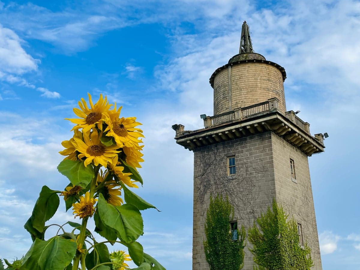
Photo: Wikipedia
Strategic Assessment of Waterford, CT
Meaningful friction. Expect exposure to either population pressure, blast zones, or natural disaster risk. Consider buying a retreat property.
What does the Strategic Assessment tell us?
Our Strategic Assessment grades tactical survivability of an area. Major population centers, military targets, fallout zones, natural disasters, and border exposure all drive risk — lower exposure means a more defensible position in a crisis.
This is heavily inspired by Joel Skousen's Strategic Relocation book. Highly recommended you checkout the book ($)What does this tell us?
Our Strategic Assessment grades tactical survivability of an area. Major population centers, military targets, fallout zones, natural disasters, and border exposure all drive risk — lower exposure means a more defensible position in a crisis.
This is heavily inspired by Joel Skousen's Strategic Relocation book. Highly recommended you checkout the book ($)Strategic Pillars

Key Distances
Regional Safe Places
Below is our recommended "safe zones" in Connecticut and the surrounding area based on our strategic heuristics. For most people, it's unrealistic to live in a “safe zone” full-time due to work, family or other personal reasons. They tend to be more rural. However, many of these areas are perfect for second homes and retreat properties that double as a vacation home or even a short-term rental.




Important Note: For informational purposes only. This does not mean nothing bad ever happens in the green zones. Please use common sense. This is based on public data and modeled with AI. We tried to take a conservative approach but mistakes happen. We update this regularly as new information becomes available.
Solar Generator Recommendations
Backup power matters more here than in safer locations. We've picked three solar generators across budgets and capacity tiers — start with the budget unit if you only need a few essentials, or step up if you want to run a fridge and HVAC for days at a time.

Jackery Portable Power Station Explorer 300
Budget OptionPower on the Go: Weighing only 11 lbs, it's convenient to set up and store with book-sized foldable solar panels

BLUETTI Portable Power Station AC180
Designed for both indoor and outdoor scenarios, AC180 is highly capable as it has a robost capacity and continuous output power.

EF ECOFLOW DELTA Pro Ultra Power Station
Upgraded PickEcoFlow DELTA Pro Ultra is a whole-home energy system designed to grow with your family. Integrated with the Smart Home Panel 2, it scales to meet your evolving energy needs — keeping your home powered, intelligent, and secure through every stage of life.
We earn a commission, at no additional cost to you.
Strategic Assessment Analysis
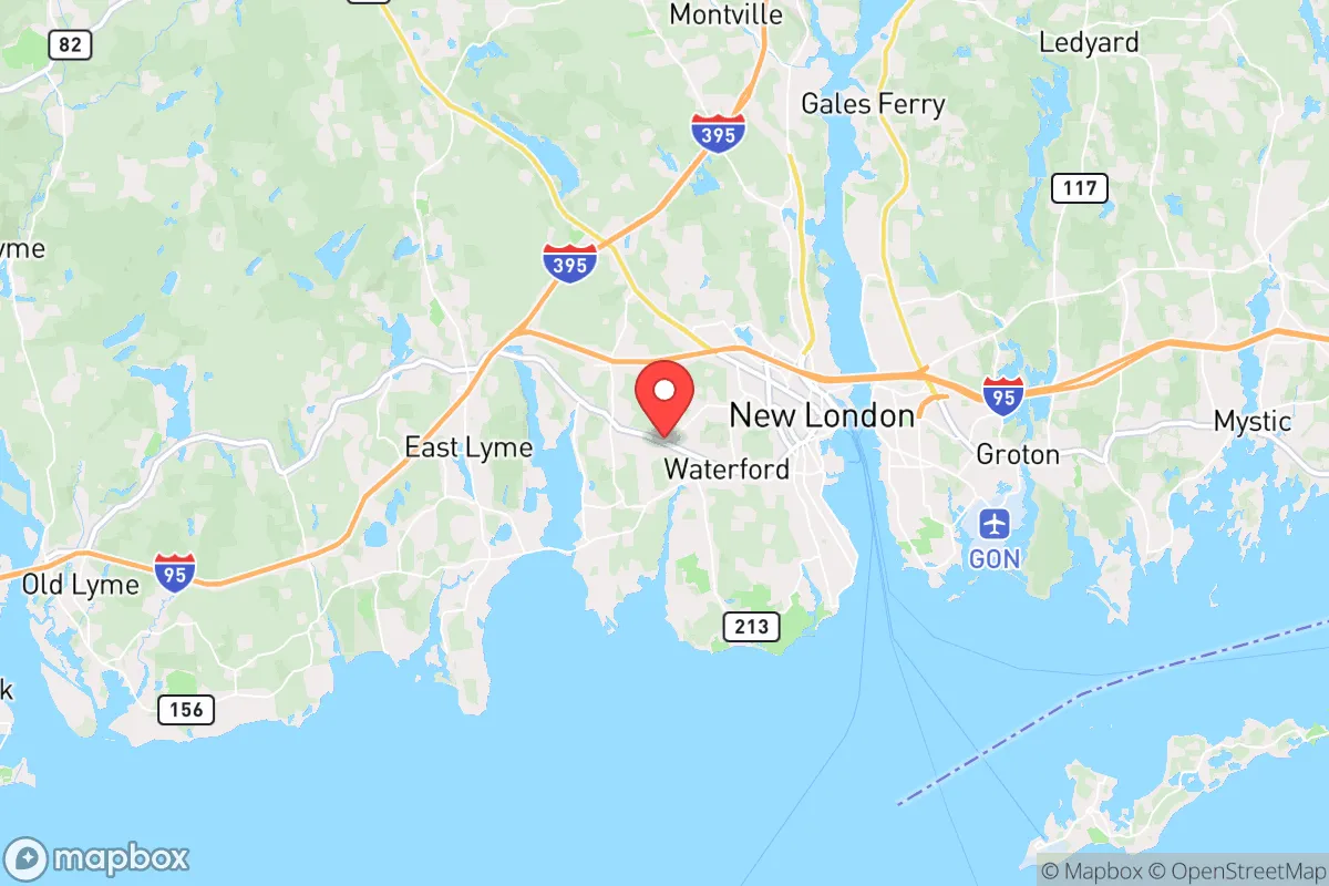
Waterford, Connecticut, offers a compelling mix of coastal New England charm and practical resilience, but its strategic value for a disaster-conscious relocator hinges on understanding its specific geographic trade-offs. Situated on Long Island Sound at the mouth of the Thames River, this town of roughly 19,000 residents benefits from a position that is close enough to major employment and supply hubs like New London and Groton to be convenient, yet far enough from the densest urban corridors to avoid the worst of a crisis. The area’s real strength lies in its access to maritime resources, a moderate climate, and a community that has historically weathered nor’easters and economic shifts, but its proximity to critical military and industrial infrastructure introduces risks that require a clear-eyed assessment.
Geographic position and natural advantages for long-term stability
Waterford’s location on the southeastern Connecticut coast provides several natural buffers that enhance its resilience. The town sits on a relatively stable geological foundation, with no significant earthquake or volcanic threats, and its coastal position offers abundant access to marine resources—fish, shellfish, and a potential source of desalination if freshwater supplies are compromised. The Thames River estuary provides a navigable waterway for transport and evacuation, while the nearby Niantic River and numerous small ponds offer secondary water sources. The region’s temperate climate means harsh winters are manageable, and the growing season (roughly 170 days) is long enough for serious home gardening, a key factor for self-sufficiency. Unlike inland areas prone to drought or wildfire, Waterford’s annual rainfall of about 50 inches keeps the landscape green and reduces fire risk. The town’s low population density relative to the I-95 corridor means less competition for resources in a crisis, and its network of state parks and forests—like Harkness Memorial State Park and the 1,000-acre Barn Island Wildlife Management Area—provides both natural cover and potential foraging grounds.
Risks, exposures, and proximity to fallout-relevant landmarks
The most significant strategic drawback for Waterford is its proximity to several high-value, high-risk targets. The town is directly adjacent to the Naval Submarine Base New London in Groton, one of the U.S. Navy’s primary submarine bases and a likely target in any major conflict. This base houses nuclear-powered submarines and is a critical node in the nation’s defense infrastructure. Additionally, the Dominion Millstone Power Station in nearby Waterford is a nuclear power plant with two operating reactors and a third in decommissioning. While the plant has a strong safety record, any major incident—whether natural or man-made—could create a radiological hazard zone that would affect large portions of the town. The Pfizer global research and development campus in Groton, a major pharmaceutical facility, is another potential target for industrial sabotage or collateral damage. Furthermore, Waterford lies within the blast and fallout radius of a hypothetical strike on the submarine base or the power plant, and its coastal position makes it vulnerable to a tsunami triggered by a distant seismic event (though the risk is low). The town is also exposed to hurricanes and severe nor’easters, with storm surge from Long Island Sound capable of flooding low-lying areas along the coast and the Thames River. The Federal Emergency Management Agency (FEMA) designates parts of Waterford as high-risk flood zones, particularly around the shoreline and the Niantic River. Finally, the town’s reliance on the I-95 corridor and the Northeast Rail Corridor means that any disruption to those arteries—whether from a natural disaster or a man-made event—could severely limit evacuation and supply routes.
Practical resilience for a relocator: food, water, energy, and defensibility
For a relocator serious about self-sufficiency, Waterford offers a mixed bag. Food security is a relative strength: the town has several active community gardens, farmers’ markets (including the Waterford Farmers Market), and a strong local fishing culture. The nearby Thames River and Long Island Sound provide year-round protein sources, and the region’s agricultural heritage means that small farms and orchards are within a 30-minute drive. However, the town’s soil is sandy and acidic in many areas, requiring soil amendment for serious gardening. Water availability is generally good, with the town’s public water supply drawn from the Moodus Reservoir and several groundwater wells. For off-grid living, many homes have private wells, but the water table near the coast can be brackish, and saltwater intrusion is a concern in prolonged drought. Rainwater catchment is viable given the high annual precipitation. Energy resilience is a weak point: the region’s power grid is aging and prone to outages during storms, and the town’s reliance on the Millstone nuclear plant means that a plant shutdown could create a regional energy crunch. Solar adoption is growing but not yet widespread; the town’s zoning allows for rooftop solar, and net metering is available. For backup power, natural gas is piped to many neighborhoods, but propane and diesel generators are common. Defensibility is moderate: Waterford’s layout is a mix of suburban subdivisions, coastal neighborhoods, and rural pockets. The town is not easily defensible in a grid-down scenario due to its many road access points and proximity to the interstate, but the wooded areas and state parks offer some cover for those willing to retreat. The local police force is professional, and the town has a volunteer fire department with mutual aid agreements, but in a major crisis, law enforcement resources would be stretched thin. The community’s social fabric is a plus: Waterford has a strong sense of local identity, with active churches, civic groups, and a well-regarded school system that could serve as a coordination hub in an emergency.
The overall strategic picture for Waterford is one of calculated risk. It offers genuine advantages for a relocator seeking a coastal lifestyle with access to maritime resources, a moderate climate, and a community that is not overly urbanized. The town’s location near critical military and industrial infrastructure, however, introduces a level of risk that cannot be ignored. For someone willing to invest in robust backup systems—solar panels, a well, a greenhouse, and a solid emergency plan—Waterford can be a viable long-term base. But for those seeking a truly low-profile, high-resilience location far from potential targets, the southeastern Connecticut coast may not be the ideal choice. The key is to understand that Waterford’s resilience is conditional: it works well for a prepared individual who accepts the trade-offs, but it is not a bug-out location for the faint of heart. If you are willing to stay informed, maintain a low profile, and build local connections, Waterford can be a solid anchor in an uncertain world. If you are looking for a place where you can completely disconnect from national vulnerabilities, you will need to look further inland and away from the coast’s strategic assets.

* Values derived from national, state, county, city and local statistics and may differ in a specific area. Last updated: 2026-09-18T03:55:44.000Z
Narrative content on this page is AI-generated and may contain mistakes. Verify any details that matter before acting on them.
ReloMaps may earn a commission from affiliate links at no extra cost to you.

