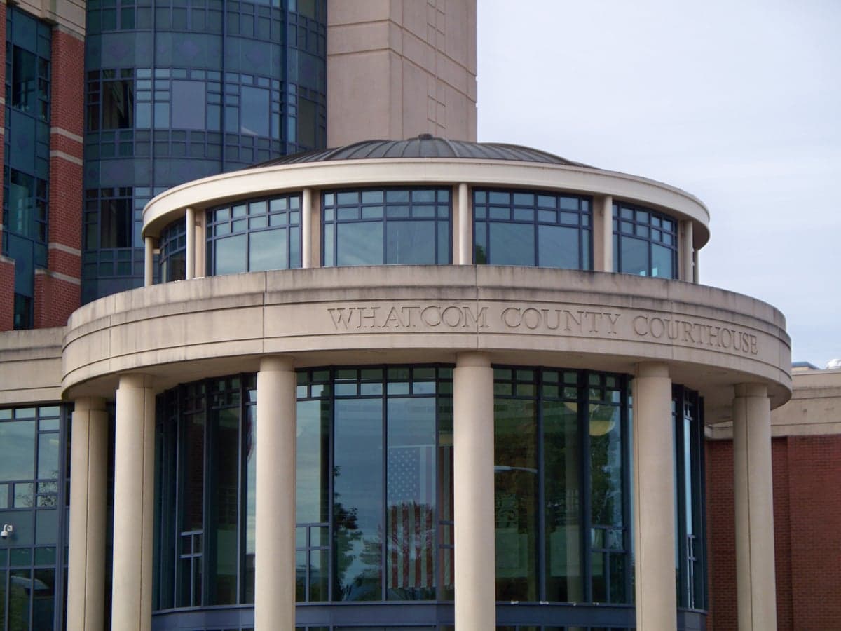
Photo: Wikipedia
Strategic Assessment of Whatcom County
Workable tactical position. Some exposure to population density or targets, but generally defensible in a crisis.
What does the Strategic Assessment tell us?
Our Strategic Assessment grades tactical survivability of an area. Major population centers, military targets, fallout zones, natural disasters, and border exposure all drive risk — lower exposure means a more defensible position in a crisis.
This is heavily inspired by Joel Skousen's Strategic Relocation book. Highly recommended you checkout the book ($)What does this tell us?
Our Strategic Assessment grades tactical survivability of an area. Major population centers, military targets, fallout zones, natural disasters, and border exposure all drive risk — lower exposure means a more defensible position in a crisis.
This is heavily inspired by Joel Skousen's Strategic Relocation book. Highly recommended you checkout the book ($)Strategic Pillars

Key Distances
Strategic Assessment Analysis
Whatcom County offers a compelling mix of geographic isolation and practical self-sufficiency potential, making it a serious candidate for relocation-minded readers prioritizing resilience. Located in the far northwest corner of Washington, the county is bounded by the Canadian border to the north, the Salish Sea to the west, and the Cascade Range to the east, creating a natural buffer zone that limits through-traffic and provides multiple layers of strategic depth. For a reader thinking about disaster readiness, Whatcom County’s position as a terminus — not a corridor — is its single strongest asset, reducing exposure to cascading failures from larger metropolitan areas while still offering access to critical infrastructure in Bellingham and the surrounding communities of Ferndale, Lynden, and Blaine.
Geographic position and natural advantages for self-sufficiency
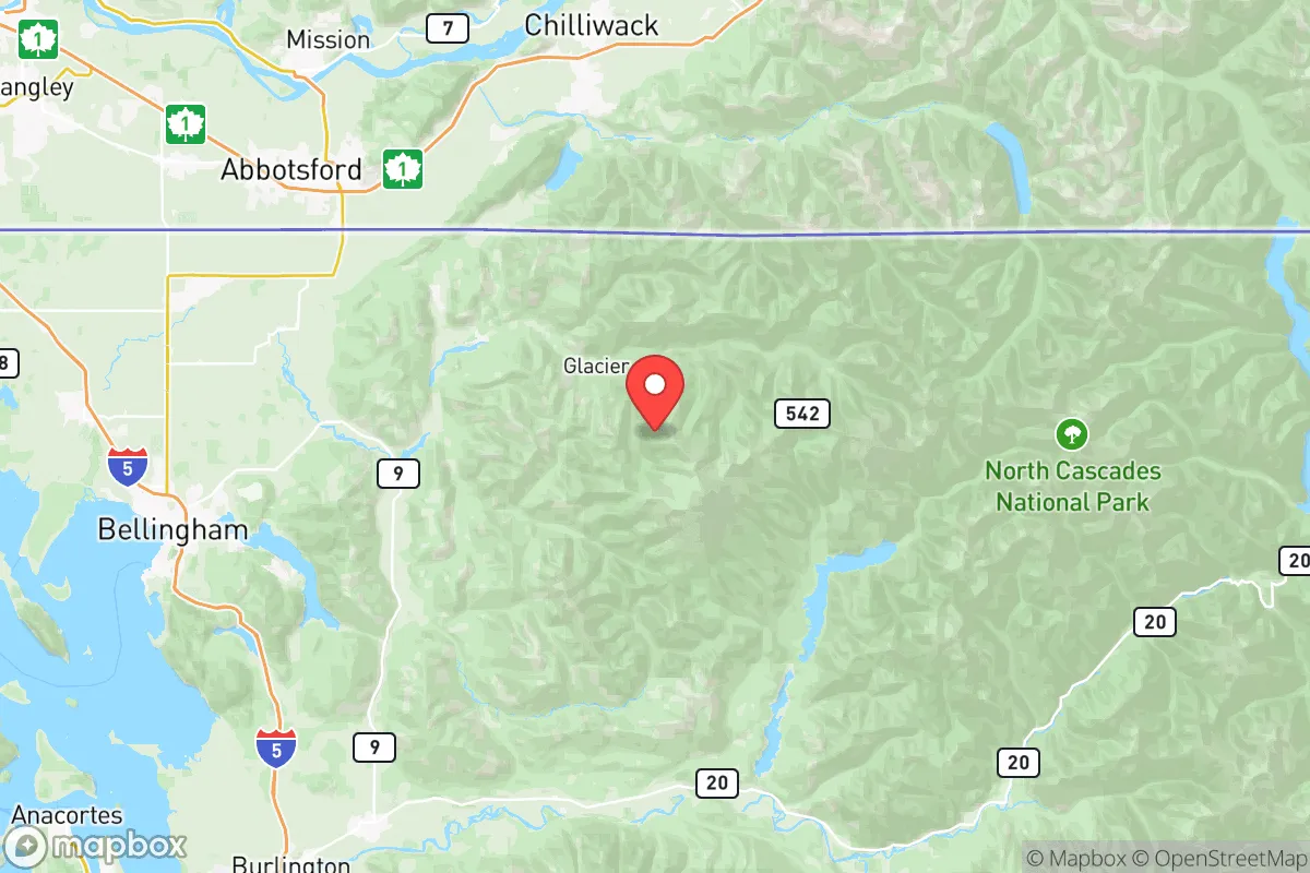
Whatcom County sits at the northern end of the Puget Sound region, with the Salish Sea providing a maritime boundary that complicates overland approaches from the west. To the east, the North Cascades form a rugged barrier, with only a handful of passes — primarily the Mount Baker Highway (WA-542) and the North Cascades Highway (WA-20) — providing access into the interior. This geography creates a natural chokepoint: anyone entering Whatcom County from the south must pass through the narrow I-5 corridor near the Skagit County line, a stretch that can be monitored or controlled with relative ease. The county’s position also places it within a short drive of the Canadian border crossing at Blaine, offering an additional layer of strategic depth for those willing to consider cross-border logistics. The Nooksack River and Lake Whatcom provide substantial freshwater resources, and the surrounding agricultural land in the Lynden and Everson areas supports local food production that is less dependent on long supply chains than in more urbanized parts of the state.
Risks, exposures, and proximity to fallout-relevant landmarks
Whatcom County is not without significant vulnerabilities, and a clear-eyed assessment must account for them. The most obvious risk is the county’s proximity to the Cherry Point industrial complex near Ferndale, which houses one of the largest oil refineries on the West Coast — the BP Cherry Point refinery, capable of processing over 225,000 barrels of crude oil per day. This facility, along with the nearby Phillips 66 refinery and the Alcoa Intalco Works site (currently idled but still an industrial landmark), makes the Ferndale area a potential target for both physical and cyber disruption. Additionally, the county lies within the Cascadia subduction zone, meaning a major earthquake could sever road access through the I-5 corridor and damage the refineries, creating a dual natural and industrial hazard scenario. The presence of the Canadian border also introduces complexity: while it offers an escape route in theory, a border closure during a crisis could trap residents in the county or complicate evacuation. The Bellingham International Airport and the Port of Bellingham are moderate-value targets, though less critical than the Cherry Point facilities. For a relocator, the key takeaway is that Whatcom County’s industrial exposure is concentrated in a narrow band along the coast, meaning that properties east of the Nooksack River or in the foothills near Glacier and Maple Falls face substantially lower risk from refinery-related incidents.
Practical resilience for a relocator: food, water, energy, and defensibility
For a reader serious about self-sufficiency, Whatcom County offers strong fundamentals in food and water security. The Lynden and Everson agricultural zones produce dairy, berries, vegetables, and grains, and the county has a robust network of farmers’ markets and local food processors that reduce reliance on national distribution chains. The Nooksack River system, supplemented by Lake Whatcom and numerous smaller lakes and streams, provides ample freshwater — though treatment and filtration will be necessary in a grid-down scenario, as surface water in agricultural areas carries runoff risks. Energy resilience is more mixed: the county is served by Puget Sound Energy, which relies on a mix of hydroelectric, natural gas, and coal, but the grid is vulnerable to both earthquake damage and winter storms that frequently knock out power in the foothills. Solar potential is moderate — the region’s frequent cloud cover reduces generation compared to eastern Washington — but micro-hydro setups on the many creeks draining the North Cascades are a viable alternative for properties with sufficient elevation change. Defensibility is a strong point for rural properties east of Bellingham and north of Lynden, where dead-end roads, limited access points, and dense forest cover create natural security buffers. The county’s population density is low outside the I-5 corridor, and the terrain makes large-scale movement difficult for anyone unfamiliar with the area. However, the same geography that provides defensibility also complicates evacuation: there are only a handful of routes out of the county, and a major earthquake could block all of them simultaneously.
Overall, Whatcom County presents a high-upside, moderate-risk strategic picture for a relocator focused on resilience. Its geographic isolation, abundant freshwater, and local food production capacity make it one of the better options in the Pacific Northwest for long-term self-sufficiency, provided the relocator chooses a location away from the industrial corridor near Ferndale and the more exposed coastal areas. The trade-off is clear: you gain natural buffers and resource security, but you accept exposure to earthquake risk and the concentrated industrial target set at Cherry Point. For a family or individual willing to invest in off-grid energy, water filtration, and a well-stocked pantry, Whatcom County offers a defensible base of operations that is close enough to Canadian resources to be useful, but far enough from Seattle and Vancouver to avoid the worst of urban collapse scenarios. The smart play is to locate east of the Nooksack or north of Lynden, where the terrain works for you and the industrial risks are minimized.

* Values derived from national, state, county, city and local statistics and may differ in a specific area. Last updated: 2026-06-21T02:04:14.000Z
Narrative content on this page is AI-generated and may contain mistakes. Verify any details that matter before acting on them.
ReloMaps may earn a commission from affiliate links at no extra cost to you.

