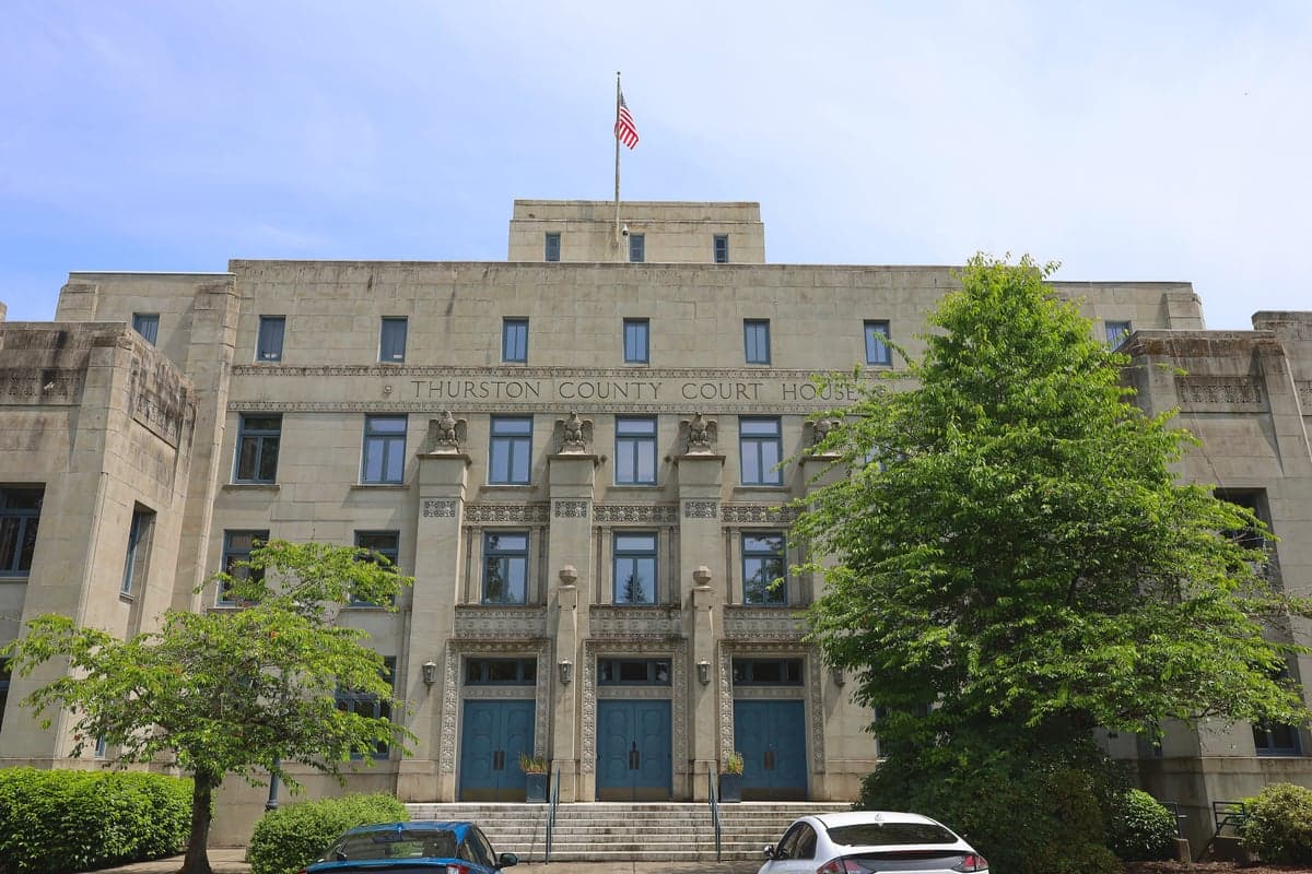
Photo: Wikipedia
Strategic Assessment of Thurston County
Meaningful friction. Expect exposure to either population pressure, blast zones, or natural disaster risk. Consider buying a retreat property.
What does the Strategic Assessment tell us?
Our Strategic Assessment grades tactical survivability of an area. Major population centers, military targets, fallout zones, natural disasters, and border exposure all drive risk — lower exposure means a more defensible position in a crisis.
This is heavily inspired by Joel Skousen's Strategic Relocation book. Highly recommended you checkout the book ($)What does this tell us?
Our Strategic Assessment grades tactical survivability of an area. Major population centers, military targets, fallout zones, natural disasters, and border exposure all drive risk — lower exposure means a more defensible position in a crisis.
This is heavily inspired by Joel Skousen's Strategic Relocation book. Highly recommended you checkout the book ($)Strategic Pillars

Key Distances
Strategic Assessment Analysis
Thurston County offers a compelling mix of strategic depth and practical resilience for relocators prioritizing disaster readiness and self-sufficiency, largely due to its position at the southern tip of Puget Sound and its distance from the most concentrated urban and industrial targets. While not immune to risks, the county’s geography—anchored by the state capital of Olympia and surrounded by working forests, military buffer zones, and the waters of Budd Inlet—provides a layered defense against both natural and man-made threats. For a conservative-leaning individual or family thinking seriously about long-term security, Thurston County represents a balanced option: close enough to infrastructure and supply chains, but far enough from the highest-risk zones like Seattle-Tacoma or the Hanford nuclear site to offer meaningful strategic advantage.
Geographic position and natural advantages for disaster readiness
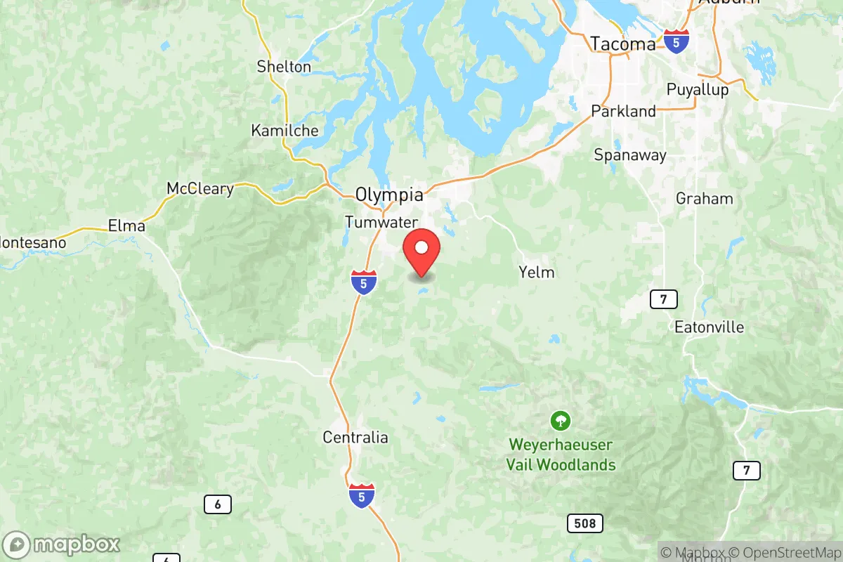
Thurston County’s location at the nexus of the Olympic Peninsula, the Cascade foothills, and the Puget Sound lowlands gives it a rare combination of accessibility and natural buffering. The county is shielded from the open Pacific by the Olympic Mountains to the west, which absorb the brunt of major storm systems, while the Cascade Range to the east provides a barrier against seismic amplification from the Cascadia subduction zone—though the entire region remains at risk for a major earthquake. The presence of Joint Base Lewis-McChord (JBLM), which straddles the county’s northern border with Pierce County, creates a large, federally protected buffer zone of undeveloped land and restricted airspace. This military footprint reduces the likelihood of dense suburban sprawl encroaching on key rural areas like Rochester or Tenino, preserving escape corridors and agricultural land. The county’s numerous rivers, including the Deschutes, Nisqually, and Chehalis, provide abundant freshwater sources, though they also introduce floodplain risks in low-lying areas near Bucoda and along the Chehalis River valley.
Risks, exposures, and proximity to fallout-relevant landmarks
Thurston County’s primary risk profile centers on seismic activity and secondary industrial exposure, rather than direct proximity to high-value nuclear or petrochemical targets. The Cascadia subduction zone poses a genuine threat of a magnitude 9.0 earthquake and subsequent tsunami, but the county’s inland position along Puget Sound means it would experience severe shaking and liquefaction in areas like Lacey and Tumwater, rather than a direct wave strike. More relevant for fallout-conscious relocators: the county sits roughly 60 miles southwest of the Hanford Site in eastern Washington, a decommissioned nuclear production facility with massive underground waste storage—a potential long-term contamination source in a major seismic event. Closer to home, the Port of Olympia handles limited industrial shipping, including log exports and bulk fuel, but lacks the concentrated refinery complexes seen in Whatcom or Skagit counties. The real concern is proximity to JBLM: while the base itself is a strategic asset, it also represents a potential target for conventional or asymmetric attack, and its ammunition storage areas and training ranges introduce a low but real risk of explosion or fire. For a relocator, the safest zones within the county are the rural southern and western townships—Rochester, Tenino, and the area around Rainier—which sit farther from both the I-5 corridor and the military installation.
Practical resilience for a relocator: food, water, energy, and defensibility
Thurston County ranks well for practical self-sufficiency, with strong local food production, abundant groundwater, and a decentralized energy grid that reduces single-point-of-failure risks. The county’s agricultural base, concentrated in the southern valleys around Rochester and Grand Mound, supports dairy, hay, and vegetable farming, with farmers’ markets operating year-round in Olympia and Lacey. For water security, the region sits atop the Deschutes River aquifer, a deep, well-recharged groundwater system that supplies most rural wells—though relocators should verify well depth and yield before purchasing, as some areas near the Nisqually delta experience seasonal drawdown. The county’s energy infrastructure is moderately resilient: Puget Sound Energy serves most of the area with a mix of hydroelectric, natural gas, and wind, but the grid is vulnerable to ice storms and wind events that can knock out power for days in rural stretches. Defensibility is a mixed picture: the county’s terrain—a patchwork of dense second-growth forest, open farmland, and suburban subdivisions—offers good cover and chokepoints along the two-lane highways leading into the interior, but the I-5 corridor itself is a vulnerability, funneling evacuees from Seattle and Tacoma southward in a crisis. For a family seeking a retreat property, the area between Tenino and Bucoda offers the best combination of low population density, multiple water sources, and limited road access, making it more defensible than the suburban fringe around Lacey or Tumwater.
Overall, Thurston County presents a strong strategic option for the disaster-conscious relocator who values proximity to military-grade infrastructure and natural resources but wants to avoid the highest-risk zones of the Pacific Northwest. The county’s real advantage is its position as a secondary hub—close enough to Seattle and Portland for supply runs and medical access, but far enough that a Cascadia event or regional disruption would likely spare its southern and western reaches from the worst fallout. The trade-offs are real: earthquake risk is unavoidable, the I-5 corridor is a liability, and JBLM’s presence cuts both ways. But for a family willing to invest in well water, solar backup, and a defensible rural property in the Rochester or Tenino areas, Thurston County offers a level of layered resilience that few other Washington counties can match without pushing into the remote, resource-scarce interior.

* Values derived from national, state, county, city and local statistics and may differ in a specific area. Last updated: 2026-07-24T16:22:48.000Z
Narrative content on this page is AI-generated and may contain mistakes. Verify any details that matter before acting on them.
ReloMaps may earn a commission from affiliate links at no extra cost to you.

